Saxton Hut
Standard hutMolesworth Recreation Reserve, MarlboroughOpen
Current advisories
Molesworth Recreation Reserve wilding conifer control
29 July 2026
Wilding conifer control operations will be undertaken across Molesworth Recreation Reserve between 1 July 2026 and 30 June 2027. Work will occur intermittently throughout this period, subject to suitable weather conditions. Control activities will involve a combination of aerial and ground-based methods to effectively target wilding conifers across the operational area. Aerial control will occur across multiple parts of the reserve, while ground control operations will be focused in the Saxton River, Alma River, and Tarndale areas. View a map of the control area (PDF, 2,635) First published on 4 October 2025. Last reviewed on 30 July 2026.
Source: DOC Te Papa Atawhai alerts.
- Sleeps
- 6 bunks
- Booking
- Not bookable
- Cost
- from $15
- Heating
- Yes
- Drinking water
- Boil first
- Toilet
- Non-flush
Getting there
We have not checked a road end or car park for this place yet, so we do not give driving directions to it. Check how to get there before you go. Some routes cross private land and need the landowner's permission.
How to get there, on doc.govt.nzThis is a backcountry hut with no DOC track access. You will need to plan your route and navigate yourself, using aids like a map, compass and GPS. Learn navigation skills.
- Topo map
- Topo50 sheet BS26
- Grid reference
- E1612598, N5344041
Source: DOC Te Papa Atawhai.
Map and tracks
Track lines: DOC Te Papa Atawhai. Map data © OpenStreetMap contributors. Topo map: LINZ, CC BY 4.0. 42.05528° S, 173.15169° E
About this place
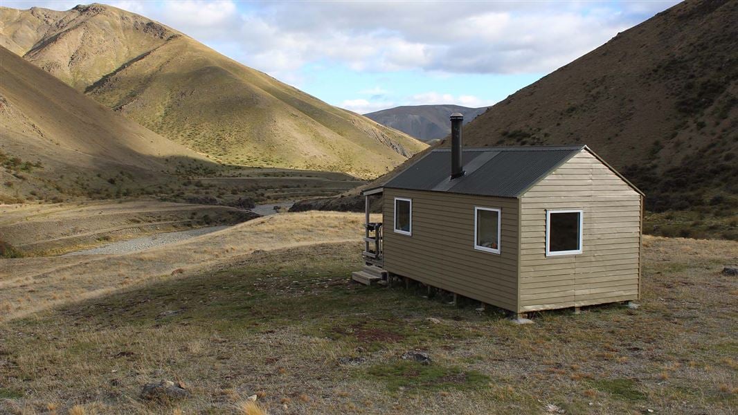
This is a standard 6-bunk hut in the South Marlborough area.
On the way here
Leatham Molesworth Route · 4 - 5 days
This route is unmarked and is suitable for trampers with a high degree of off-track experience and fitness who should allow at least 4-5 days and, if possible, 1-2 extra days to complete the trip. It starts at Bottom Gordon Hut in the Leatham Conservation Area, and travels via Severn and Saxton Huts in the Molesworth Recreation Reserve, around to Top Gordon Hut and back to Bottom Gordon Hut.
Severn Hut to Saxton Hut
Time: 8-9 hours
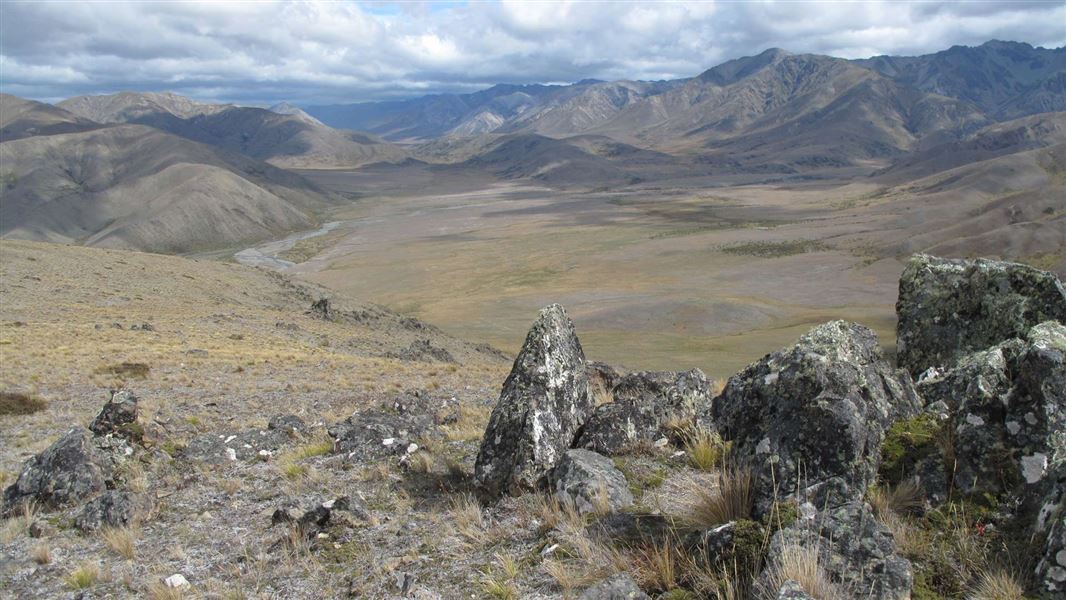
km East of the hut take the spur on the true right of the creek to the high point marked 1764 m (1604617E–5342762N). It is a steep climb of about 2 hr 30 min. Once on top, head down the scree to the main unnamed stream (locally know as Boundary Stream). Follow the stream down to the confluence where it meets the Saxton River, this takes approximately 6 hours. The Saxton Hut is situated on a river terrace at this confluence on the true right of the Saxton River.
Saxton Hut to Top Gordon Hut
Time: 7-9 hours
18.5 km A section of this track has been impacted by a slip. There is no obvious `bench’ track across the scree section. The track is passable but visitors should use caution when traversing. Access to the Saxton River Catchment has been negotiated between DOC, Landcorp and Muller Station. A permit is required from DOC for all access above the Saxton Hut from 1 January to30 April each year. A condition of this access is that visitors only travel upstream to avoid moving stock out of the valley. From the Saxton Hut head up the Saxton River. At times you will have to ford the river and negotiate a small gorge. At the 5 km mark you will pass the Team Hut, not for public accommodation. This hut is used by Molesworth and Muller staff and is situated on the true right. From here, the route is easy travelling along the Saxton River, using the stock trails. There are occasional briar plants and slips or tributary creeks (Oyster Creek) to negotiate, but the degree of difficulty is minimal. After about 4–5 hrs the foot of the Saxton Saddle is reached - a rounded hill compared to the surrounding country. At 1617060E–5355247N head up the hill to Saxton Saddle, an approximately 1 hour climb. There is a DOC sign at the top of the saddle but no track markers. Sidle down Gordon Stream on the true left following the stream for approximately 30 minutes. There are track markers on the true left of Gordon Stream, follow these down into the beech forest; the route to the hut is well marked and signposted. Top Gordon Hut is located on a sunny terrace on the true right of Gordon Stream.
Source: DOC Te Papa Atawhai.
Know before you go
Stay safe when crossing rivers and streams
If you plan to cross unbridged rivers or side streams, know how to cross safely and be prepared for if you cannot cross. Do not cross if the river or stream is flooded, you cannot find safe entry and exit points or are unsure it’s safe. Turn back or wait for the river to drop. If in doubt, stay out. How to cross rivers safely NIWA river flow forecasts: View a video of national followed by regional river flows
Source: DOC Te Papa Atawhai.
Trip options
Walking times come from DOC track descriptions, added up leg by leg from car-accessible trailheads. Nights and return times are ParkUp estimates, allowing about 8 hours of walking a day.
2 options · 3 to 4 nights
Bottom Gordon Hut
Walking in
20 hr (via Top Leatham Hut, Severn Hut)
Walking out
12 hr to Bottom Gordon Hut (via Top Gordon Hut)
Walking in
20 hr (via Top Leatham Hut, Severn Hut)
Walking out
20 hr to Bottom Gordon Hut (via Top Leatham Hut, Severn Hut)
Source: DOC Te Papa Atawhai track descriptions.
Fees and bookings
Before you go, buy Hut Tickets for each night's stay. Put these in the honesty box at the hut. Or buy a Backcountry Hut Pass that gives unlimited use at most Standard and Serviced huts for a 12 month period. Retailers that sell hut tickets and passes
Source: DOC Te Papa Atawhai.
Nearby stops

Severn Hut
Standard • 6 bunks • Marlborough • 9.5 km
Severn Hut is a standard six bunk hut located in the South Marlborough Area.
Mattresses • Toilets - non-flush • Water from stream
Top Leatham Hut
Standard • 6 bunks • Marlborough • 10.8 km
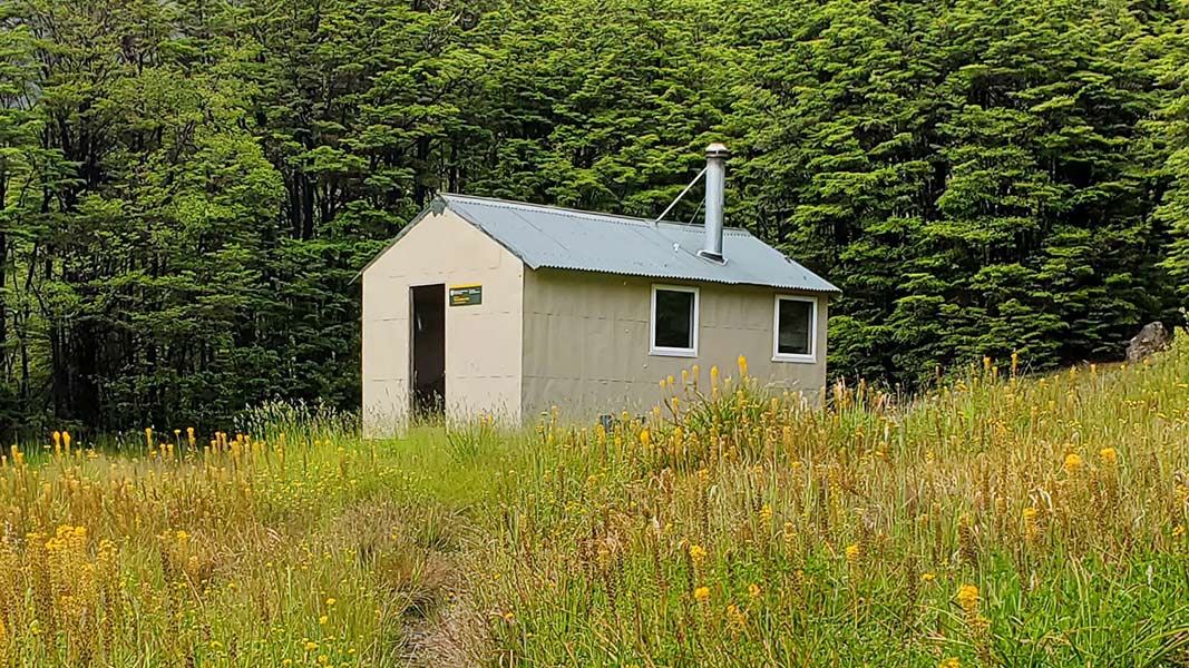
Top Leatham Hut is a standard six-bunk hut located in the South Marlborough area. It provides basic accommodation for visitors exploring the region.
Heating • Mattresses • Toilets - non-flush
Top Gordon Hut
Standard • 6 bunks • Marlborough • 14.2 km
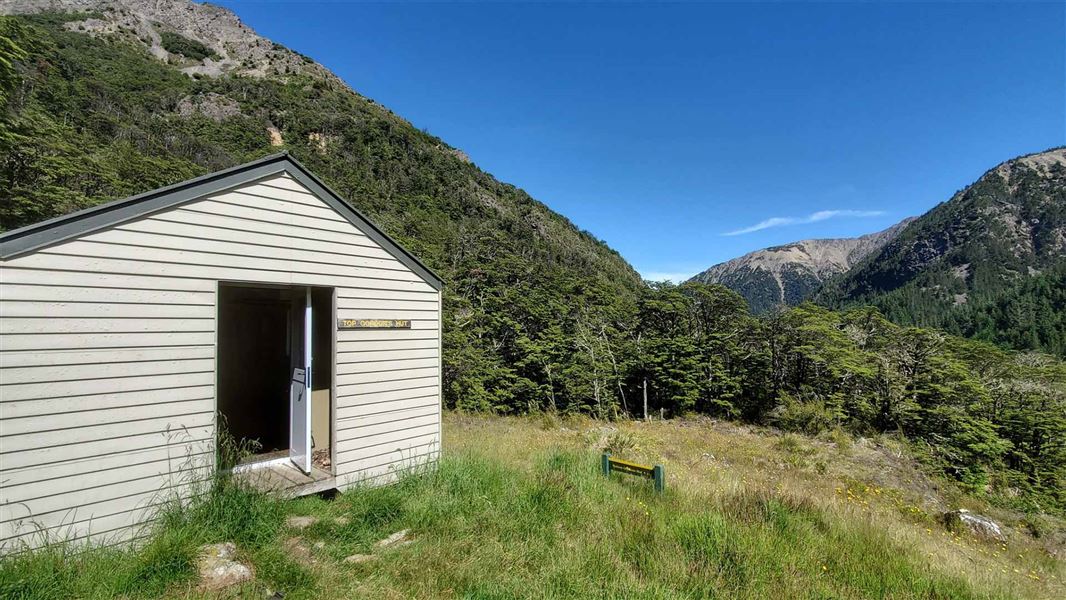
Top Gordon Hut is a standard six-bunk hut located in the South Marlborough area.
Heating • Mattresses • Toilets - non-flush
Bottom Gordon Hut
Standard • 6 bunks • Marlborough • 14.3 km
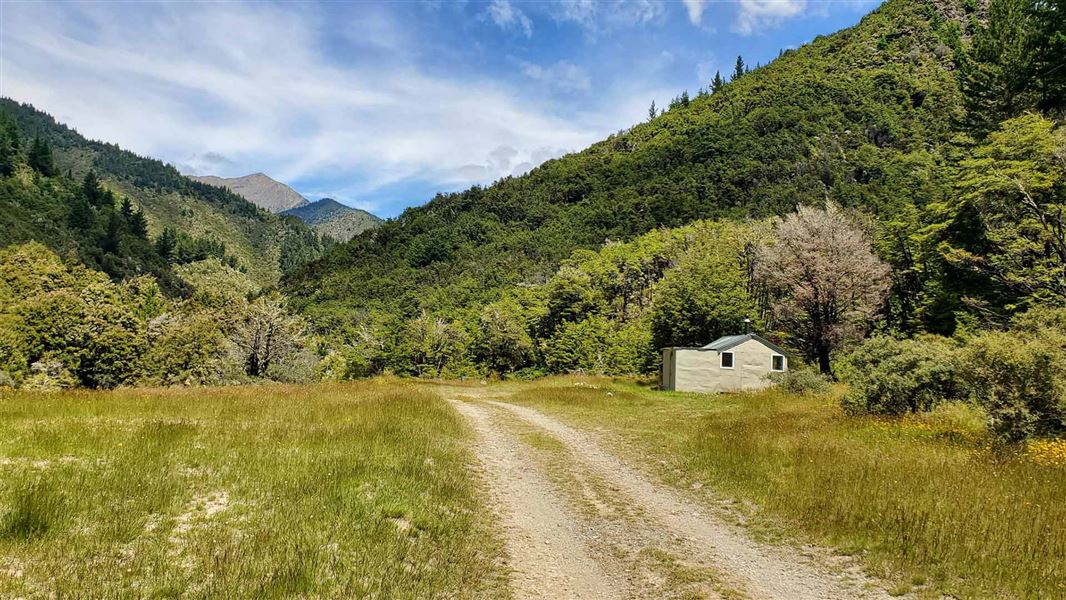
Bottom Gordon Hut is a standard six-bunk hut located in the South Marlborough area. It provides basic accommodation for hikers in the region.
Heating • Mattresses • Toilets - non-flush
Walks nearby
Contact
Nelson Lakes National Park Visitor Centre
Regional DOC service centre.
Notes from people who have been
No notes yet. If you have been, say what you found.
Something missing or out of date?
Closed, moved, wrong facts, or something we have missed? Travellers keep the Road Guide up to date. Tell us what you found at contribute@parkup.nz and we will check it and add it.
Ask us to take this down
A person reads every request. We do not remove a place until we have checked it.
Sources
- DOC Huts (API) · CC BY 4.0Crown Copyright: Department of Conservation Te Papa Atawhai. Data sourced from the DOC Developer Portal (api.doc.govt.nz).
- DOC Huts · CC BY 4.0Data sourced from the Department of Conservation (DOC), New Zealand.
- OpenStreetMap Huts · ODbL (Open Database License)Contains information from OpenStreetMap, made available under the ODbL.