Tirohanga Track
WalkWaikatoOpen
- Grade
- Advanced
- Walking time
- 5 hr
- Distance
- 6.5 km
- Dogs
- No dogs
Getting there
We have not checked a road end or car park for this place yet, so we do not give driving directions to it. Check how to get there before you go. Some routes cross private land and need the landowner's permission.
How to get there, on doc.govt.nz5.5 km north of Pirongia, turn off SH39 onto Te Pahu Road, which is signposted for Pironga Forest Park. After 5.6 km, turn into Corcoran Road and follow this to the end.
Source: DOC Te Papa Atawhai.
Map and tracks
Track lines: DOC Te Papa Atawhai. Map data © OpenStreetMap contributors. Topo map: LINZ, CC BY 4.0. 37.96992° S, 175.11953° E
About this place
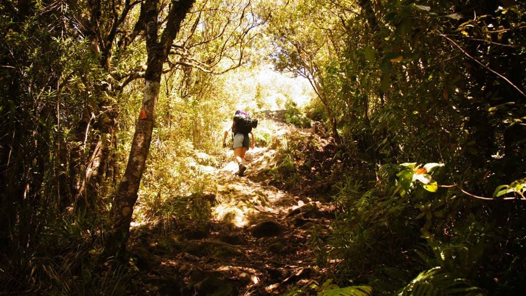
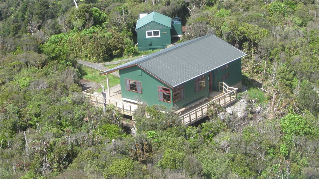
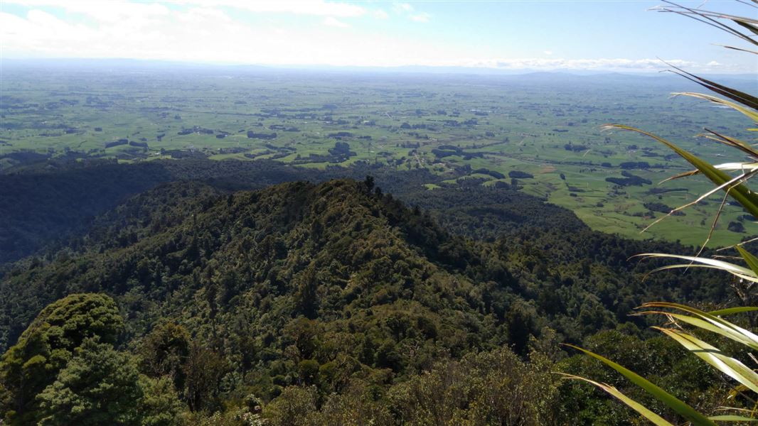
Walk up to Pāhautea Hut and Campsite via Mount Pirongia summit from where you might see Mount Taranaki or Mount Ruapehu on a clear day.
The route
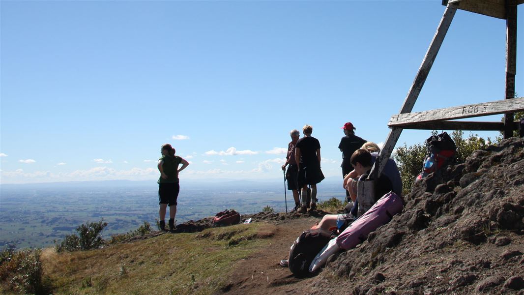
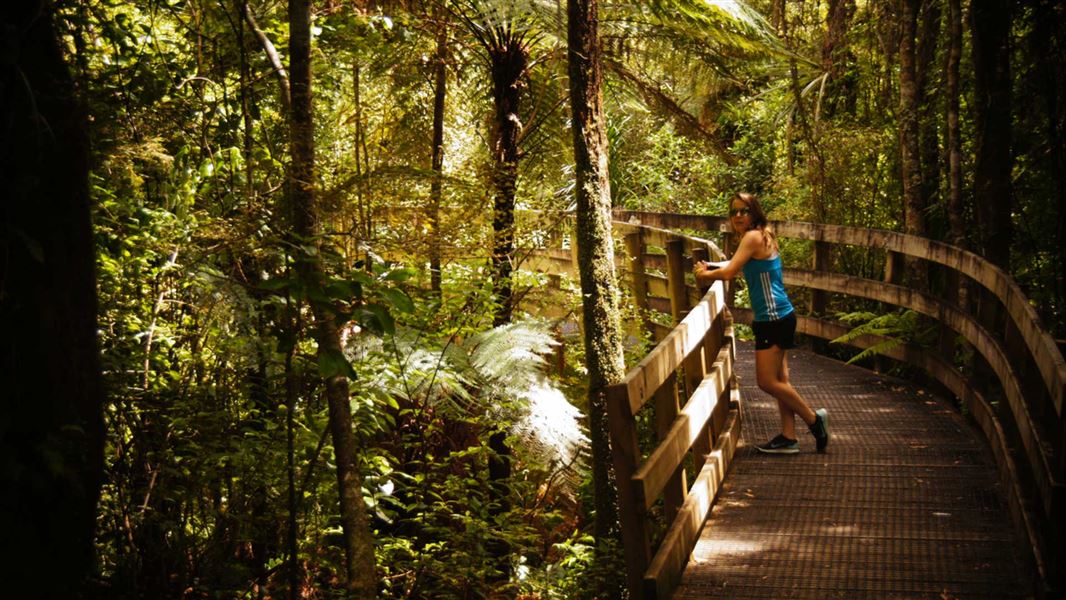
The track starts from Corcoran Road car park and follows a formed track up steps. Nearer the top, the formed track ends and a tramping track leads up over rock to the Ruapane Trig (723 m) view point. The track traverses an undulating ridge on uneven ground before passing Tirohanga Bluff, a pinnacle of hard lava signifying its volcanic origins. The track then descends and climbs before reaching the Pirongia summit (959 m). There are climbing chains on difficult parts of the track. On a clear day look for Mount Taranaki and Mount Ruapehu in the distance. The track continues on to Pāhautea Hut and Campsite. They are 30 minutes from the summit. There is also an option for a round trip.
Tirohanga to Mahaukura round trip
Time: 8–11 hr return
km This is a popular round trip for people overnighting at Pāhautea Hut. Cross from Grey Road car park to Ruapane via the Mangakara Nature Walk and Link Track then follow the Tirohanga Track to the summit viewing tower. Return via Mahaukura Track to Grey Road. This is the easier circuit rather than doing it the other way round via Mahaukura then Tirohanga.
Source: DOC Te Papa Atawhai.
On this track
In walking order.
Nearby stops
Kaniwhaniwha Campsite
Basic • Waikato • 5.3 km
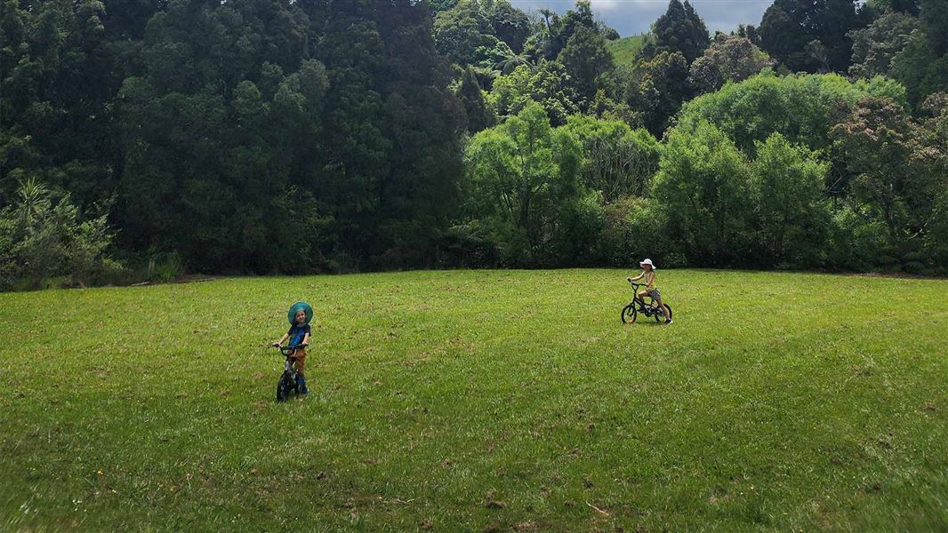
Kaniwhaniwha Campsite is a campsite in the Waikato region situated in an open grassy area alongside the Kaniwhaniwha Stream. Access to the site is by walking…
Water from stream • Toilets - non-flush • Toilets
Central Clearing Campsite
Basic • Waikato • 7.4 km
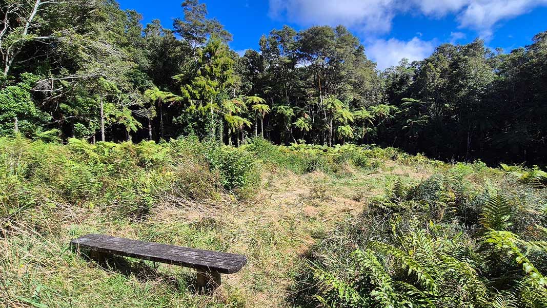
Central Clearing Campsite is a backcountry campsite situated on the Bell Track within Pirongia Forest Park in the Waikato region.
Toilets
Lake Ngāroto
Waikato • 15 km
Camp Tuhikaramea
Waikato • 16.6 km
Walks nearby
Notes from people who have been
No notes yet. If you have been, say what you found.
Something missing or out of date?
Closed, moved, wrong facts, or something we have missed? Travellers keep the Road Guide up to date. Tell us what you found at contribute@parkup.nz and we will check it and add it.
Ask us to take this down
A person reads every request. We do not remove a place until we have checked it.
Sources
- DOC Tracks (API) · CC BY 4.0Crown Copyright: Department of Conservation Te Papa Atawhai. Data sourced from the DOC Developer Portal (api.doc.govt.nz).
- DOC Tracks & Trails · CC BY 4.0Data sourced from the Department of Conservation (DOC), New Zealand.