Pāhautea Hut
Standard hutPirongia Forest Park, WaikatoOpen
Current advisories
Pirongia track closures
20 July 2026
These tracks are closed due to track damage from a severe weather event in February 2026: Bell Track Kaniwhaniwha: Kahikatea tree Mahaukura Track Wharauroa Track. This is a long-term alert. First published on 14 February 2026. Last reviewed on 21 July 2026.
Source: DOC Te Papa Atawhai alerts.
- Sleeps
- 20 bunks
- Booking
- Can book
- Cost
- from $15
- Heating
- None
- Drinking water
- Boil first
- Toilet
- Non-flush
Getting there
We have not checked a road end or car park for this place yet, so we do not give driving directions to it. Check how to get there before you go. Some routes cross private land and need the landowner's permission.
How to get there, on doc.govt.nz- Topo map
- Topo50 sheet BE33
- Grid reference
- E1783680, N5792835
Source: DOC Te Papa Atawhai.
Map and tracks
Track lines: DOC Te Papa Atawhai. Map data © OpenStreetMap contributors. Topo map: LINZ, CC BY 4.0. 37.99338° S, 175.09188° E
About this place
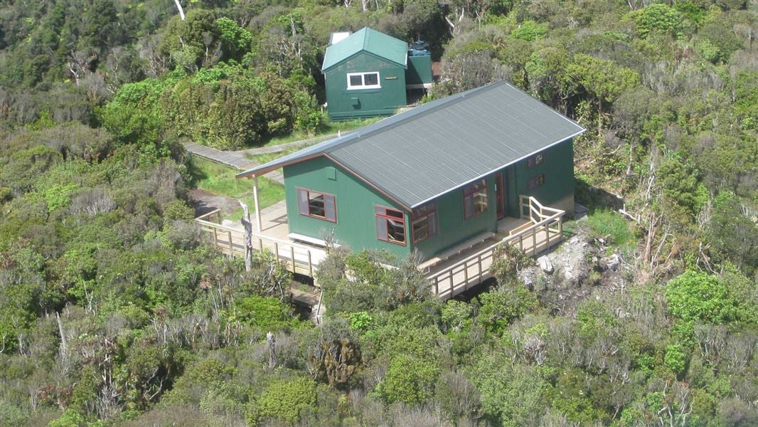
This is a standard 20-bunk hut with a campers' shelter on Mt Pirongia in the Waikato area.
On the way here
Mahaukura Track · 4-6 hr one way
Tirohanga to Mahaukura round trip
Time: 8–11 hr return
km This is a popular round trip for people overnighting at Pāhautea Hut. Cross from Grey Road car park to Ruapane via the Mangakara Nature Walk and Link Track then follow the Tirohanga Track to the summit viewing tower. Return via Mahaukura Track to Grey Road. This is the easier circuit rather than doing it the other way round via Mahaukura then Tirohanga.
Tirohanga Track · 3–5 hr one way
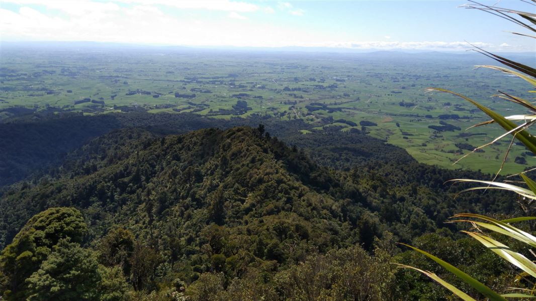
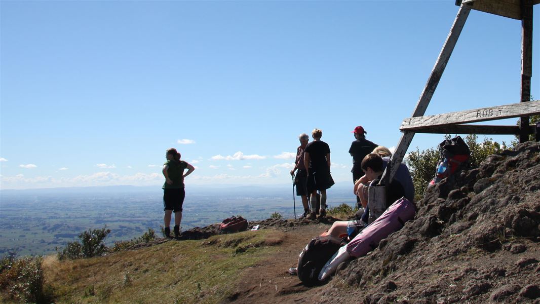
The track starts from Corcoran Road car park and follows a formed track up steps. Nearer the top, the formed track ends and a tramping track leads up over rock to the Ruapane Trig (723 m) view point. The track traverses an undulating ridge on uneven ground before passing Tirohanga Bluff, a pinnacle of hard lava signifying its volcanic origins. The track then descends and climbs before reaching the Pirongia summit (959 m). There are climbing chains on difficult parts of the track. On a clear day look for Mount Taranaki and Mount Ruapehu in the distance. The track continues on to Pāhautea Hut and Campsite. They are 30 minutes from the summit. There is also an option for a round trip.
Tirohanga to Mahaukura round trip
Time: 8–11 hr return
km This is a popular round trip for people overnighting at Pāhautea Hut. Cross from Grey Road car park to Ruapane via the Mangakara Nature Walk and Link Track then follow the Tirohanga Track to the summit viewing tower. Return via Mahaukura Track to Grey Road. This is the easier circuit rather than doing it the other way round via Mahaukura then Tirohanga.
Source: DOC Te Papa Atawhai.
Fees and bookings
Backcountry Hut Passes can be used at this hut. About hut tickets and passes Retailers that sell hut tickets and passes Te Araroa – The Trail Pass Te Araroa Trail Pass
Bookings are open for stays up to 30 June 2027. If no availability shows online for your dates, the hut is fully booked. No spaces are kept for visitors arriving without a booking. Phone and in‑person bookings made at a visitor centre incur a $10 service fee. Same‑day bookings are available online until 8 pm if spaces remain. Book Pāhautea Hut and campsite online . Your hut booking is for any bunk bed, not for a specific bunk bed – select your bunk bed on arrival.
Source: DOC Te Papa Atawhai.
On these tracks
Source: DOC Te Papa Atawhai.
Nearby stops
Pahautea Hut Campsite
Backcountry • Waikato • 0.1 km
Pahautea Hut Campsite is located in the Waikato region and features camping pads next to Pāhautea Hut. A shelter at the site provides water, a sink, a bench,…
Non-powered/tent sites • Water from tap - not treated, boil before use • Toilets - non-flush
Central Clearing Campsite
Basic • Waikato • 6 km
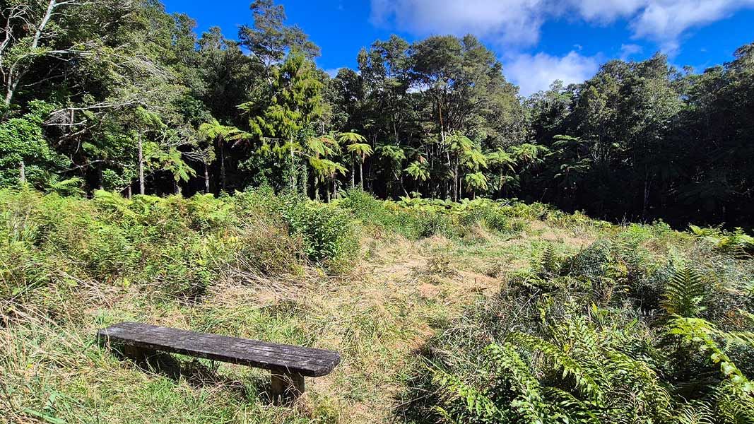
Central Clearing Campsite is a backcountry campsite situated on the Bell Track within Pirongia Forest Park in the Waikato region.
Toilets
Kaniwhaniwha Campsite
Basic • Waikato • 6.3 km
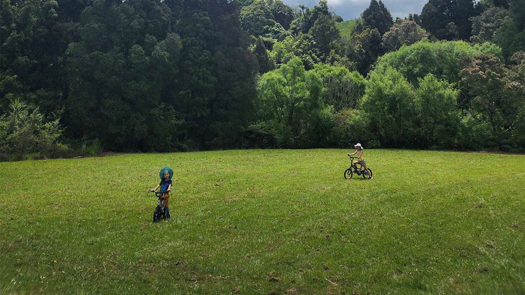
Kaniwhaniwha Campsite is a campsite in the Waikato region situated in an open grassy area alongside the Kaniwhaniwha Stream. Access to the site is by walking…
Water from stream • Toilets - non-flush • Toilets
Walks nearby
Contact
Hut and campsite bookings
Regional DOC service centre.
Notes from people who have been
No notes yet. If you have been, say what you found.
Something missing or out of date?
Closed, moved, wrong facts, or something we have missed? Travellers keep the Road Guide up to date. Tell us what you found at contribute@parkup.nz and we will check it and add it.
Ask us to take this down
A person reads every request. We do not remove a place until we have checked it.
Sources
- OpenStreetMap Huts · ODbL (Open Database License)Contains information from OpenStreetMap, made available under the ODbL.
- DOC Huts (API) · CC BY 4.0Crown Copyright: Department of Conservation Te Papa Atawhai. Data sourced from the DOC Developer Portal (api.doc.govt.nz).
- DOC Huts · CC BY 4.0Data sourced from the Department of Conservation (DOC), New Zealand.