Te Waiti Hut Walk
WalkBay of Plenty
- Grade
- Advanced
- Walking time
- 2 hr
- Dogs
- DOC permit only
Getting there
We have not checked a road end or car park for this place yet, so we do not give driving directions to it. Check how to get there before you go. Some routes cross private land and need the landowner's permission.
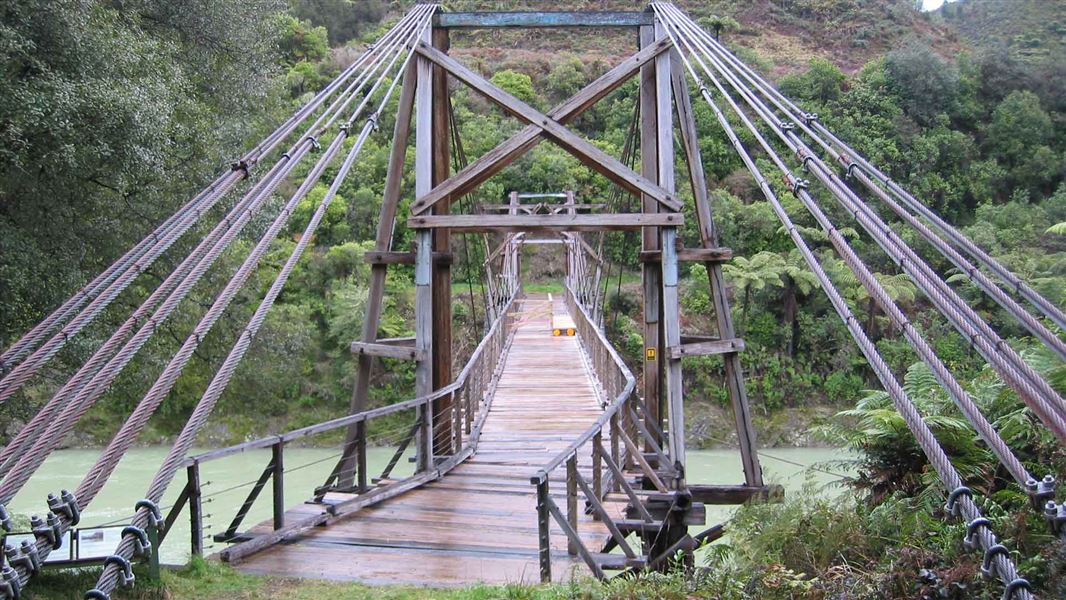
How to get there, on doc.govt.nzThe tracks starts from the Hastings Pole Bridge on Te Waiti Valley Road.
Source: DOC Te Papa Atawhai.
Map
Map data © OpenStreetMap contributors. Topo map: LINZ, CC BY 4.0. 38.15251° S, 177.39740° E
Got a good photo of this place? Send it to us and we will show it with your name.
About this place
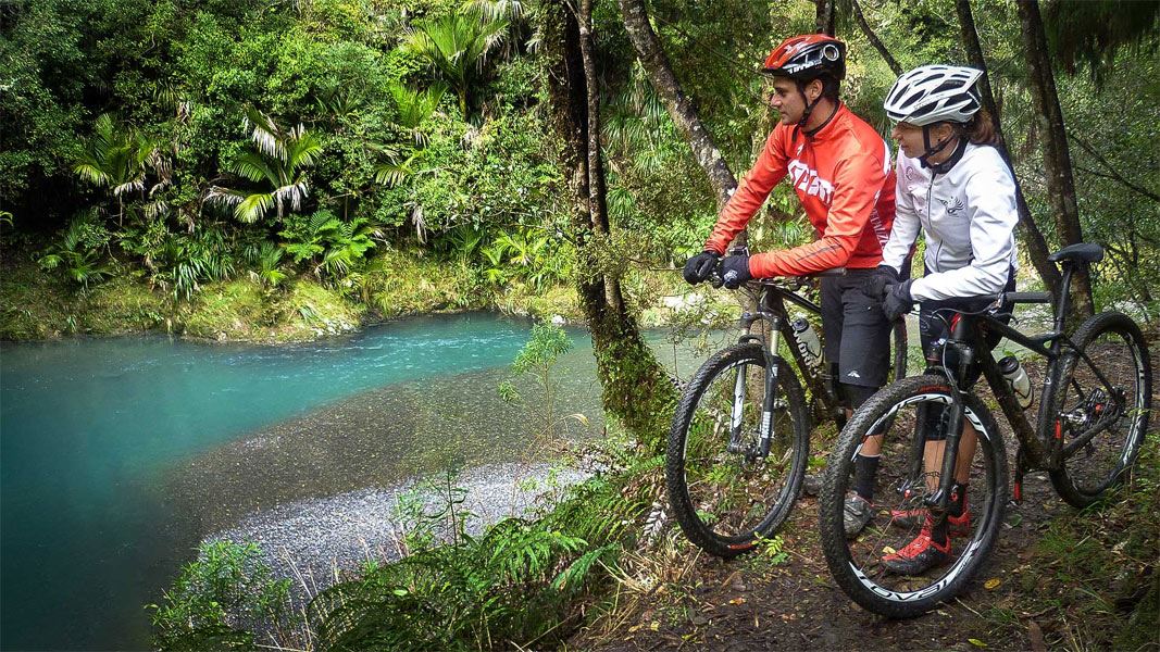
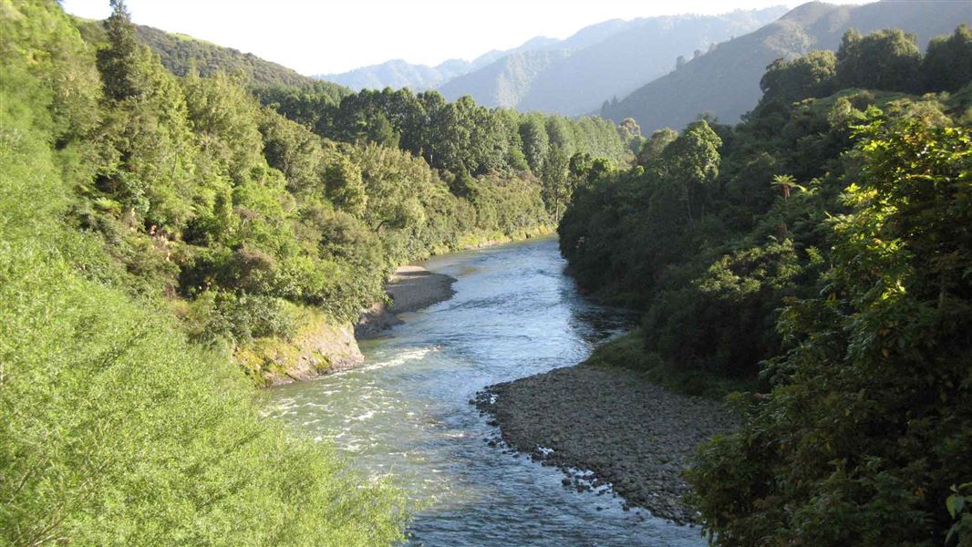
This track affords views of Te Waiti Stream and lowland forest and is suitable for a family day trip.
The route
To reach Te Waiti Hut, follow the benched track up Te Waiti Stream from the the Hastings Pole Bridge. The track has a mainly easy gradient. There is one stream crossing 15 minutes from the hut which should not be crossed in high flow periods. There are some very narrow sections with steep drop offs. Offers fantastic views of the river from lush semi coastal forest.
Mountain biking
This is a shared-use track. Follow the mountain bikers code : respect others, respect the rules, respect the track.
Source: DOC Te Papa Atawhai.

Nearby stops
Hastings Hut
Bay of Plenty • 3.2 km
Lagoon Hut
Bay of Plenty • 3.2 km
Boulders Campsite
Basic • Bay of Plenty • 3.3 km
Boulders Campsite is located next to the Te Waiti Stream in the Bay of Plenty region. The site is surrounded by nikau palms and tawa forest, making it a…
BBQ • Non-powered/tent sites • Water from stream

Pakihi Hut
Standard • 6 bunks • Bay of Plenty • 6.4 km
Pakihi Hut is a backcountry hut located in the East Coast region of New Zealand. It is situated in the area known as Barry Crump country.
Heating • Mattresses • Toilets - non-flush
Savlon Hut
Bay of Plenty • 6.4 km
Walks nearby
Notes from people who have been
No notes yet. If you have been, say what you found.
Something missing or out of date?
Closed, moved, wrong facts, or something we have missed? Travellers keep the Road Guide up to date. Tell us what you found at contribute@parkup.nz and we will check it and add it.
Ask us to take this down
A person reads every request. We do not remove a place until we have checked it.
Sources
- DOC Tracks (API) · CC BY 4.0Crown Copyright: Department of Conservation Te Papa Atawhai. Data sourced from the DOC Developer Portal (api.doc.govt.nz).