Tasman Lake and River Track
WalkCanterburyOpen
- Grade
- Easy
- Walking time
- 50 min
- Distance
- 2.6 km
- Dogs
- No dogs
Getting there
We have not checked a road end or car park for this place yet, so we do not give driving directions to it. Check how to get there before you go. Some routes cross private land and need the landowner's permission.
How to get there, on doc.govt.nzTurn off SH80 onto Tasman Valley Road just before Aoraki/Mount Cook Village. Follow this for about 7 km to the car park at the end.
Source: DOC Te Papa Atawhai.
Map and tracks
Track lines: DOC Te Papa Atawhai. Map data © OpenStreetMap contributors. Topo map: LINZ, CC BY 4.0. 43.70343° S, 170.16757° E
About this place
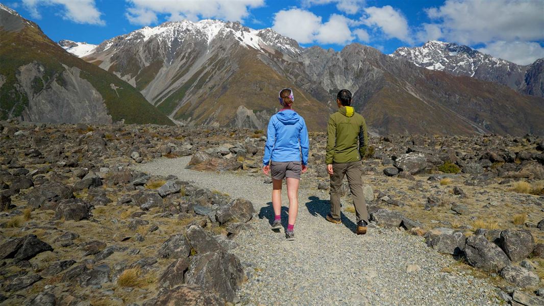
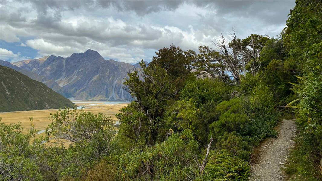
View New Zealand's longest glacier, the mighty Haupapa/Tasman Glacier on one of our best short walks.
The route
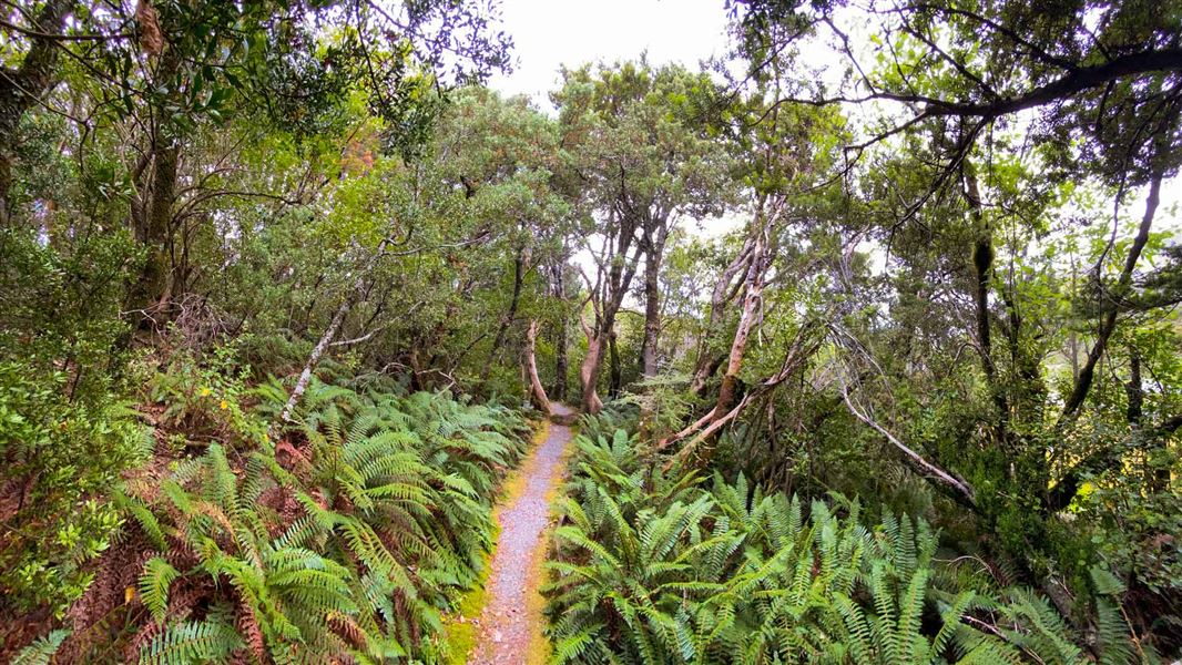
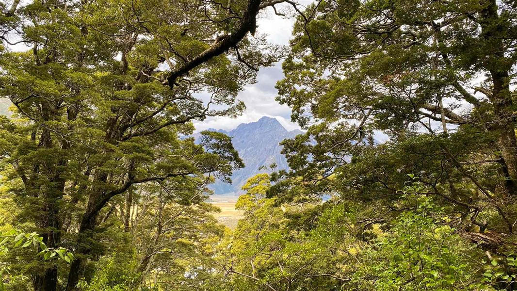
This track also start from the Blue Lake car park. It branches to the right off the Blue Lakes Track just past the Blue Lakes shelter and leads to a viewpoint of the Haupapa/Tasman Glacier terminal lake. A further track branches to the right off this track leading to the source of the Tasman River. Icebergs can usually be seen floating in the lake in summer, and the lake freezes over in winter. The track leads through the old terminal moraines of the glacier, and you can see good examples of plant succession along the route.
Source: DOC Te Papa Atawhai.
Know before you go
What to expect
Track surface: Rock steps Change in elevation: +/- 86 m Expect rapidly changing weather – this walk is in an alpine region. Ensure you take sturdy footwear.
Do not go in the water or on the ice
Stay out of the cold water of Hooker or Tasman lakes, which is typically about 3 degrees and can quickly cause hypothermia. Stay off the lakes when they are frozen over, as the ice can be thin and could give way at any time. Do not climb icebergs in the lakes as these are unstable and can tip unexpectedly. You could put your life at risk by walking on the ice. If it gave way, you could drown or develop hypothermia.
Source: DOC Te Papa Atawhai.
Joins these tracks
Source: DOC Te Papa Atawhai.
Nearby stops
Bivouac site
Canterbury • 4.9 km
Hooker Hut
Serviced • 8 bunks • Canterbury • 6 km
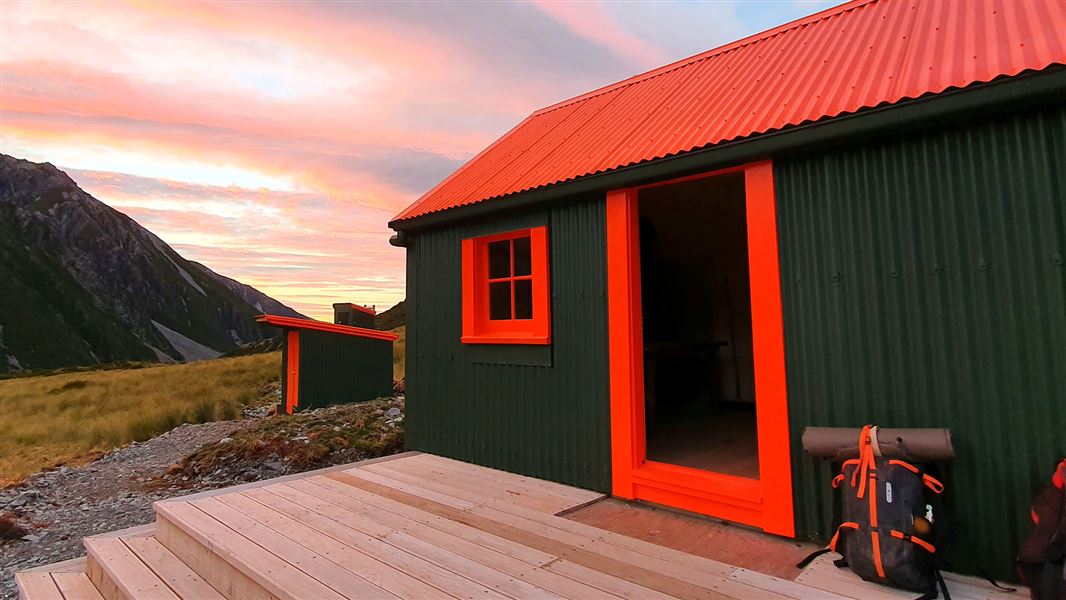
Hooker Hut is an eight-bunk serviced hut located in the Aoraki/Mount Cook area of Canterbury. It is the oldest hut in the park.
Cooking • Heating • Mattresses
White Horse Hill Campsite
Standard • Canterbury • 6.3 km
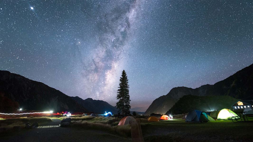
White Horse Hill Campsite is located in Canterbury and offers views of alpine scenery including Mt Sefton. The area provides access to a variety of walks…
Non-powered/tent sites • Shelter for cooking • Toilets - flush
Hooker Hut (removed)
Canterbury • 6.5 km
Hooker Hut is a former hut located in the Canterbury region of New Zealand. The structure has been removed and is no longer available for use.
Caroline Hut
Canterbury • 7.6 km
Caroline Hut is a backcountry hut located in the Canterbury region of New Zealand. The provided records do not include specific details regarding its…
Walks nearby
Notes from people who have been
No notes yet. If you have been, say what you found.
Something missing or out of date?
Closed, moved, wrong facts, or something we have missed? Travellers keep the Road Guide up to date. Tell us what you found at contribute@parkup.nz and we will check it and add it.
Ask us to take this down
A person reads every request. We do not remove a place until we have checked it.
Sources
- DOC Tracks (API) · CC BY 4.0Crown Copyright: Department of Conservation Te Papa Atawhai. Data sourced from the DOC Developer Portal (api.doc.govt.nz).
- DOC Tracks & Trails · CC BY 4.0Data sourced from the Department of Conservation (DOC), New Zealand.