Tasman Glacier View Track
WalkCanterburyOpen
- Grade
- Easy
- Walking time
- 30 min
- Distance
- 1.5 km
- Route
- Return
- Dogs
- No dogs
Access: read before you go
Flying a drone without a permit is strictly prohibited. Drone use on conservation land
Source: DOC Te Papa Atawhai.
Getting there
We have not checked a road end or car park for this place yet, so we do not give driving directions to it. Check how to get there before you go. Some routes cross private land and need the landowner's permission.
How to get there, on doc.govt.nzFrom Aoraki/Mount Cook Village, take SH80 towards Twizel. Tasman Valley Road is second on your left as you drive out of the village, after Hooker Valley Road.
Cross the one-way bridge and continue to the end of the road to Tasman Valley car park.
Open in Google Maps
Snow can close SH80. Check highway conditions before you travel.
Tasman Valley car park has:
The car park gets very busy during the summer season (November to April). If it’s full, park along Tasman Valley Road with care.
Directions
From Aoraki/Mount Cook Village, take SH80 towards Twizel. Tasman Valley Road is second on your left as you drive out of the village, after Hooker Valley Road. Cross the one-way bridge and continue to the end of the road to Tasman Valley car park. Open in Google Maps Travel times (by car) Aoraki/Mount Cook Village (10 min) Twizel (50 min) Tekapo (1 hr 30 min) Road conditions Snow can close SH80. Check highway conditions before you travel. Check highway conditions
Parking
Tasman Valley car park has: free parking for cars and campervans no marked mobility spaces. The car park gets very busy during the summer season (November to April). If it’s full, park along Tasman Valley Road with care.
Source: DOC Te Papa Atawhai.
Map
Map data © OpenStreetMap contributors. Topo map: LINZ, CC BY 4.0. 43.69699° S, 170.16694° E
About this place
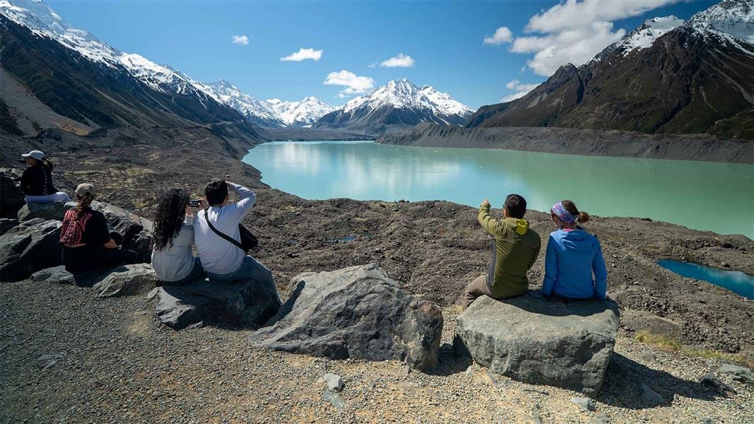
A short, steep climb rewards you with panoramic views of Tasman Lake and Haupapa/Tasman Glacier – New Zealand’s longest glacier.
The route
About the walk
From Tasman Valley car park, follow the signposted gravel track to Tasman Glacier View. Climb steps steadily for 10 min and you’ll see the first of the Blue Lakes on your left. From here, it’s another 5 min up to the viewpoint. The viewpoint is at the top of a rocky wall of glacial debris, called ‘moraine’. On a clear day, you’ll: Like glaciers worldwide, Tasman Glacier is retreating as the climate changes. Tasman Lake did not exist until 1974. It is growing rapidly as the glacier melts. Return to the car park the same way you came.
Blue Lakes
5 min / 500 m to the first lake (one way) From the main track, you can take a side trip to the Blue Lakes. The track ends at the first lake. These small alpine lakes were once blue – the colour of glacial meltwater. They’re now fed by rainwater and look green.
Tasman Lake and River Track
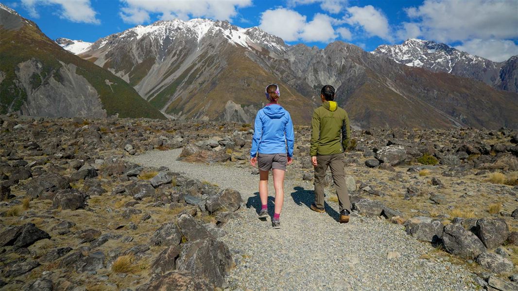
50 min / 2.5 km (return) Tasman Lake and River Track is accessible from Tasman Glacier View Track. It’s a good alternative to this walk if steps are unsuitable for anyone in your group. Tasman Lake and River Track
Source: DOC Te Papa Atawhai.
Know before you go
Safety and hazards
Glacier lake: Tasman Lake and the surrounding moraine (rock walls) have serious hazards. Know the risks if you choose to explore beyond the viewpoint. Poisonous plants: Tutu is a native shrub which has poisonous black berries in summer. Do not eat any plants or berries growing here.
When to go
Aoraki/Mount Cook National Park is an alpine region. Snow, freezing temperatures, strong winds and sunburn are possible in all seasons. Tasman Glacier View Track gets very crowded during the summer season (November to April). Large tour groups use the track. New Zealand weather changes quickly. Check the weather forecast before you go, and be prepared. View weather forecast Be prepared
Plan your visit
Bookings are not required for Tasman Glacier View Track. Toilets are located at Tasman Valley car park. They close in winter and may be unavailable in summer due to water shortages. The nearest accessible toilets are at Aoraki/Mount Cook Visitor Centre (10 min by car). Drinking water is not available. Bring your own. Picnic tables and a day shelter with seating are provided at Tasman Valley car park. There’s a bench seat along the track, but no seating at the lookout. Camping is available at White Horse Hill Campsite (15 min by car). Limited food and petrol options can be found at Aoraki/Mount Cook Village. More services are available in Twizel and Tekapo. Mobile phone coverage is unavailable.
What to take
Sturdy footwear Warm and waterproof clothing Sun protection including sunscreen and sun hat For a complete list, see Short Walks gear list .
Care for nature
Rubbish bins are not provided. Take your rubbish with you. Wastewater cannot be disposed of at Aoraki/Mount Cook. The closest public dump station is in Twizel. Kea are protected native birds. Do not feed them. Protecting nature in Aotearoa
No drones
Flying a drone without a permit is strictly prohibited. Drone use on conservation land
Source: DOC Te Papa Atawhai.
Nearby stops
Bivouac site
Canterbury • 4.5 km
Hooker Hut
Serviced • 8 bunks • Canterbury • 6 km
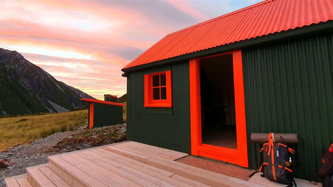
Hooker Hut is an eight-bunk serviced hut located in the Aoraki/Mount Cook area of Canterbury. It is the oldest hut in the park.
Cooking • Heating • Mattresses
Hooker Hut (removed)
Canterbury • 6 km
Hooker Hut is a former hut located in the Canterbury region of New Zealand. The structure has been removed and is no longer available for use.
White Horse Hill Campsite
Standard • Canterbury • 6.4 km
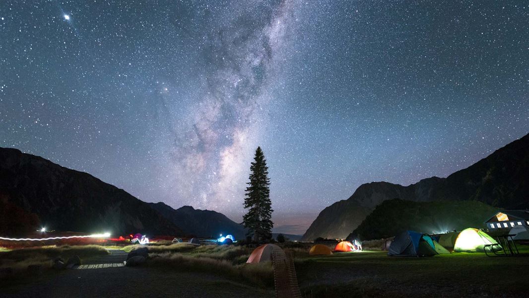
White Horse Hill Campsite is located in Canterbury and offers views of alpine scenery including Mt Sefton. The area provides access to a variety of walks…
Non-powered/tent sites • Shelter for cooking • Toilets - flush
Caroline Hut
Canterbury • 6.9 km
Caroline Hut is a backcountry hut located in the Canterbury region of New Zealand. The provided records do not include specific details regarding its…
Walks nearby
Tasman Lake and River Track
Easy • 50 min return • 2.6 km • 0.72 km away
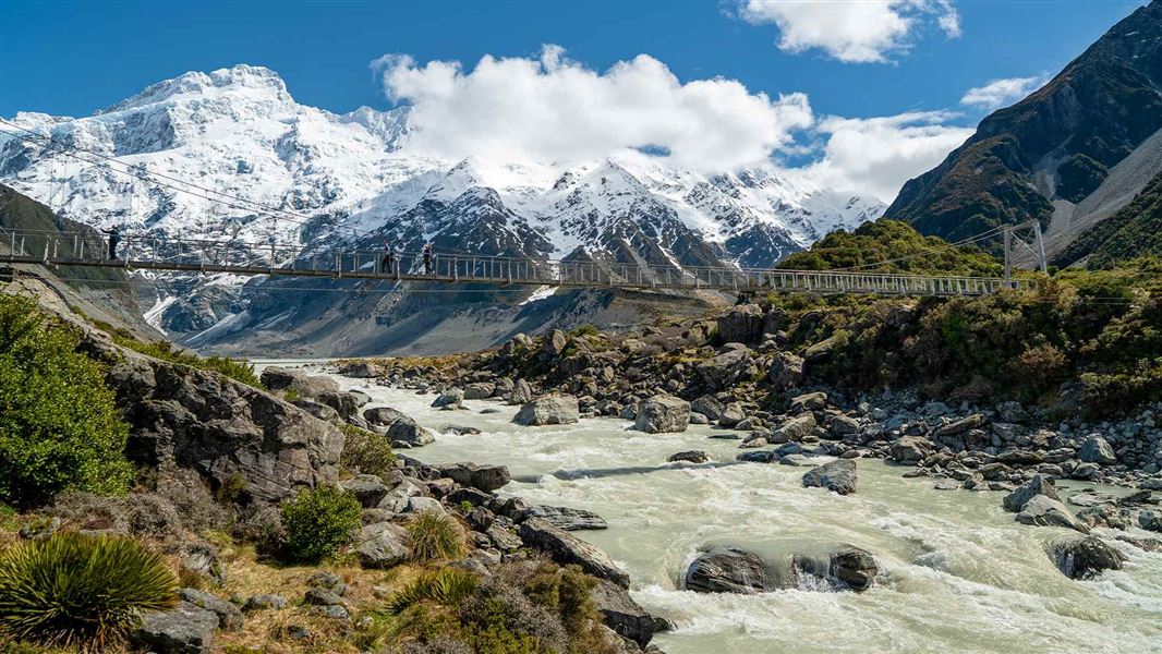
Hooker Valley Track
Easy • 3 hr return • 10 km • 5.54 km away
Kea Point Track
Walking track • 1-4 hours • 7.05 km away
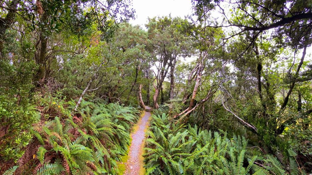
Bowen Bush Walk
Easiest • 10 min return • 250 m • 7.11 km away
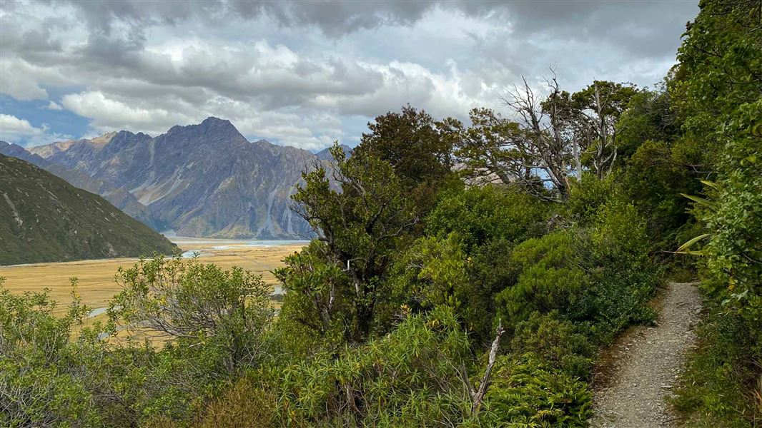
Glencoe Walk
Easiest • 30 min return • 600 m • 7.28 km away
Notes from people who have been
No notes yet. If you have been, say what you found.
Something missing or out of date?
Closed, moved, wrong facts, or something we have missed? Travellers keep the Road Guide up to date. Tell us what you found at contribute@parkup.nz and we will check it and add it.
Ask us to take this down
A person reads every request. We do not remove a place until we have checked it.
Sources
- DOC Tracks & Trails · CC BY 4.0Data sourced from the Department of Conservation (DOC), New Zealand.
- DOC Tracks (API) · CC BY 4.0Crown Copyright: Department of Conservation Te Papa Atawhai. Data sourced from the DOC Developer Portal (api.doc.govt.nz).