Taieri River Track
WalkOtago
- Grade
- Easy
- Walking time
- 4 hr
- Distance
- 8 km
- Dogs
- No dogs
Getting there
We have not checked a road end or car park for this place yet, so we do not give driving directions to it. Check how to get there before you go. Some routes cross private land and need the landowner's permission.
How to get there, on doc.govt.nzTo reach Taieri Mouth take the coastal road, south of Dunedin, via Green Island and Brighton to Taieri Mouth. Cross the bridge and turn right to reach the track start.
Source: DOC Te Papa Atawhai.
Map
Map data © OpenStreetMap contributors. Topo map: LINZ, CC BY 4.0. 46.04141° S, 170.17303° E
About this place
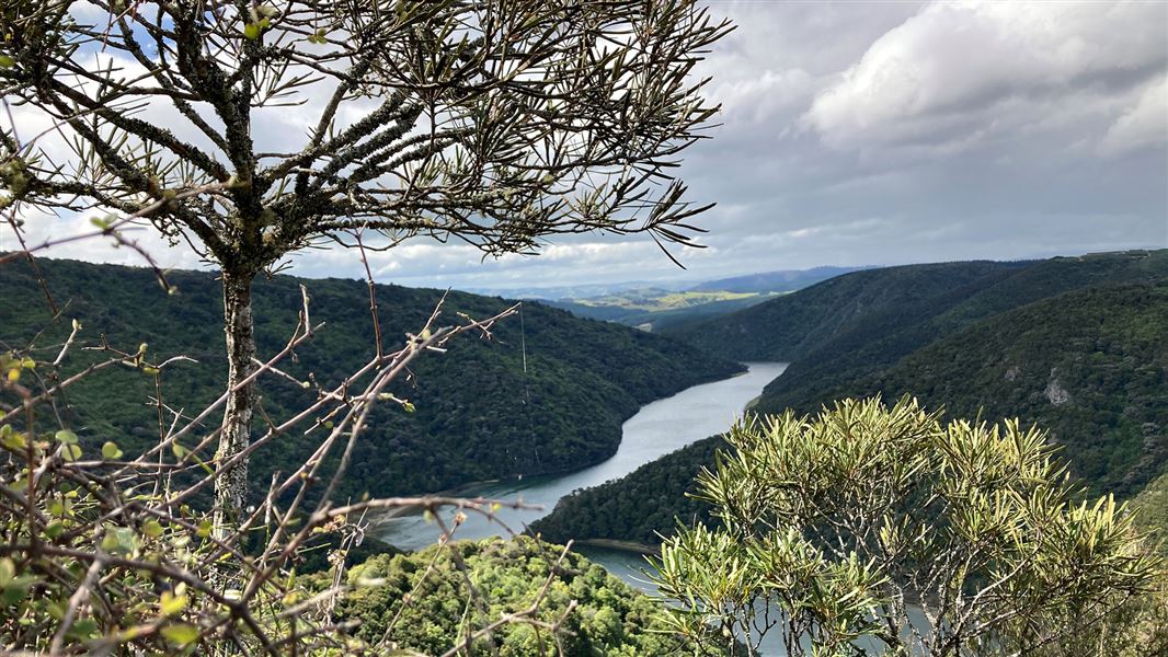
An interesting walk in the Taieri Gorge that travels alongside the Taieri River and passes through several different types of vegetation.
The route
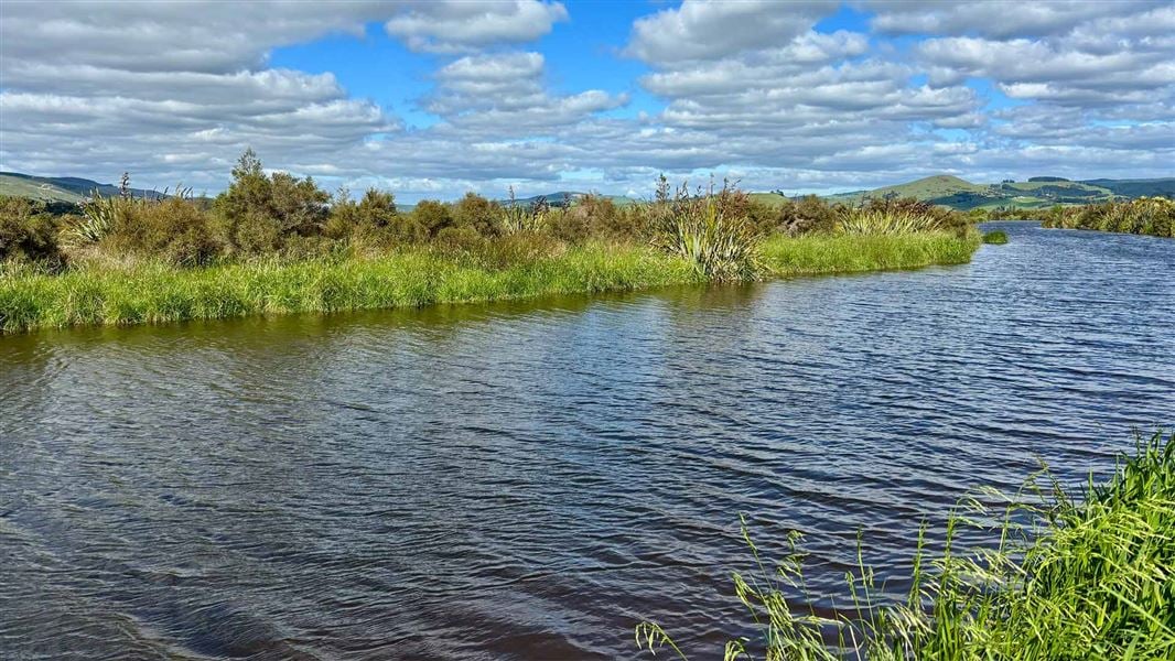
The 8 km Taieri River Gorge reaches inland from the river mouth. The Taieri River Track is a 4km undulating walk one way to reach the John Bull Gully picnic area. The track passes through several different types of vegetation and terrain. Because of the river's tidal nature in its lower reaches, the track's early stages passes both freshwater and saline plant life. As it climbs a little it enters a lush podocarp forest with superb specimens of Halls totara, tree fern/kātote and miro. There are also good stands of healthy, regenerating kahikatea, New Zealand’s tallest native tree. As kahikatea thrives in fertile soil, that has usually become farmland, regenerating stands like this are very rare. After the forest the track passes through open shrubland to then cut downhill and finish at John Bull Gully picnic area. There’s a choice of returning the same way for great views of Taieri Mouth and Moturata/Taieri Island or carrying on in the same direction for approximately 4 km on the Clutha District Council’s Millennium track, which links with Taieri Ferry Road that, in turn, comes out on SH1.
Source: DOC Te Papa Atawhai.
Know before you go
Flooding
This track can be subject to flooding during heavy or prolonged rain and includes two unbridged creek crossings. Check weather forecasts and weather warnings before visiting. Flash flooding can occur during periods of high rainfall. Avoid the area during or immediately after periods of heavy rain.
Source: DOC Te Papa Atawhai.
Nearby stops
Taieri Mouth Holiday Camp
Otago • 2.8 km
Waihola Holiday Park
Otago • 6.4 km
Sinclair Wetland Reserve
Otago • 9.7 km
Sinclair Wetland Reserve is a campsite located in the Otago region. The provided data does not list specific facilities or amenities for this site.
Brighton Caravan Park & Boat Hire
Otago • 16 km
Brighton Caravan Park & Boat Hire is a campsite located in the Otago region. The facility offers boat hire services in addition to camping accommodation.
Notes from people who have been
No notes yet. If you have been, say what you found.
Something missing or out of date?
Closed, moved, wrong facts, or something we have missed? Travellers keep the Road Guide up to date. Tell us what you found at contribute@parkup.nz and we will check it and add it.
Ask us to take this down
A person reads every request. We do not remove a place until we have checked it.
Sources
- DOC Tracks (API) · CC BY 4.0Crown Copyright: Department of Conservation Te Papa Atawhai. Data sourced from the DOC Developer Portal (api.doc.govt.nz).