Farewell Spit Walk
WalkTasmanOpen
- Grade
- Easy
- Walking time
- 4 hr
- Distance
- 12 km
- Biking time
- Under 4 hours
- Dogs
- No dogs
Getting there
We have not checked a road end or car park for this place yet, so we do not give driving directions to it. Check how to get there before you go. Some routes cross private land and need the landowner's permission.
How to get there, on doc.govt.nzFrom Collingwood, follow Collingwood-Puponga Main Road toward Pūponga. This road becomes Wharariki Road when it leaves the coast.
At the start of Wharariki Road, turn right onto Freeman Access Road and follow it to the Triangle Flat car park.
Source: DOC Te Papa Atawhai.
Map and tracks
Track lines: DOC Te Papa Atawhai. Map data © OpenStreetMap contributors. Topo map: LINZ, CC BY 4.0. 40.51665° S, 172.75144° E
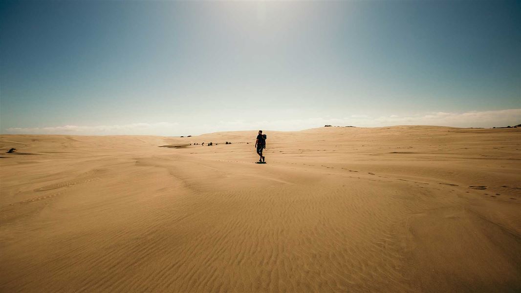
About this place
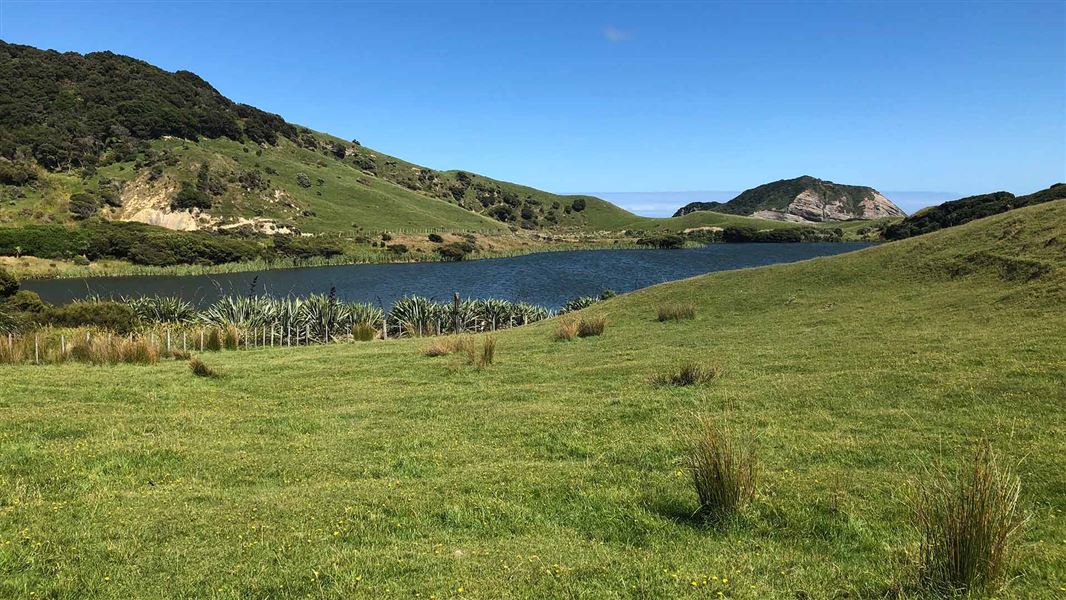
Walk around the base of Farewell Spit, New Zealand’s longest sand spit.
The route
From Triangle Flat car park, walk along Inner Beach for 4 kilometres to a marked track that crosses the spit to Ocean Beach. Head along Ocean Beach (to the left) to the Farewell Spit Crossing 4WD road. Follow the road across the spit and then turn right to take the track back to the car park. To extend the walk, continue along Ocean Beach past the 4WD road until you get to theFossil Point Track . Follow this track back to the car park.
Source: DOC Te Papa Atawhai.
Know before you go
General visiting rules
No dogs or other pets are allowed. Firearms are prohibited. Camping is not permitted on both Farewell Spit Nature Reserve and the Pūponga Farm Park. Take your rubbish away with you when you leave. Do not light fires or smoke. No fishing in the nature reserve.
Visiting Farewell Spit
Quicksand hazard There is an intermittent issue with quicksand within the flat sand pans at the base of Farewell Spit. This hazard exists in the flat open sand areas within the dunes, not out on the beach. The beaches, marked tracks and roads are safe for travel. Foot access only No vehicles or bikes are permitted on the beach past the car park at Triange Flat.
Stay at least 20 m from seals
There are a group of seal pups that use pools on the beach to play in. Please respect their home by following these rules: Keep a respectful distance (at least 20 metres) Do not follow or chase the seals. It is an offense under the Marine Mammals Protection Act 1978 to harass seals. What to do if you find a seal .
Source: DOC Te Papa Atawhai.
Nearby stops
Farewell Gardens
Tasman • 1.8 km
Farewell Gardens is a campsite located in the Tasman region of New Zealand. The provided records do not list specific facilities or details for this site.
Wharariki Beach Holiday Park
Tasman • 5.6 km
Wharariki Beach Holiday Park is a campsite located in the Tasman region. It offers accommodation for visitors exploring the Wharariki area.
Pakawau Beach Park
Tasman • 10.7 km
Pakawau Beach Park is a campsite located in the Tasman region of New Zealand. The provided data does not list specific facilities or details for this location.
Walks nearby
Puponga Hilltop Walk
Tramping track • Under 1 hour • 1.02 km away
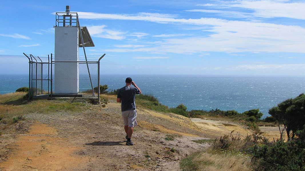
Pillar Point Lighthouse Track
Easy • 45 min one way • 1.5 km • 3.48 km away
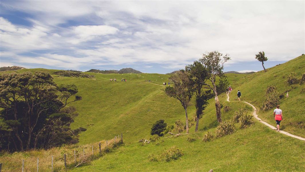
Pūponga Hilltop Walk
Advanced • 3 – 5 hours one way • 8 km • 3.62 km away
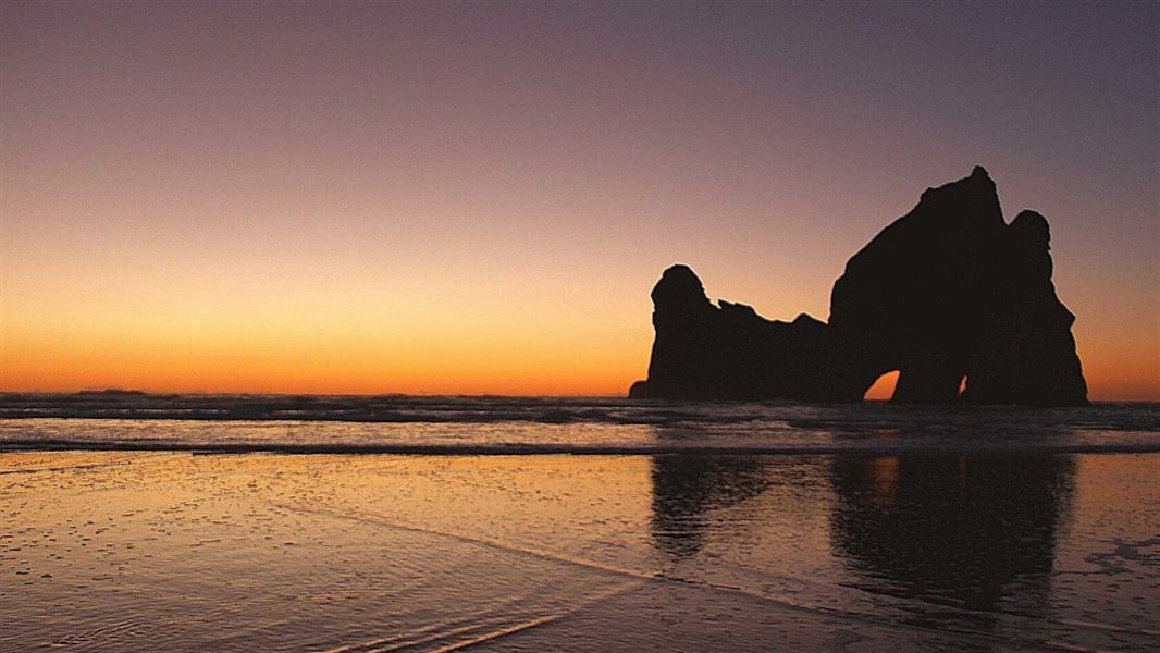
Wharariki Beach Track (Archway Islands)
Easy • 20 min one way • 1 km • 6.03 km away
Pūponga Farm Track / Green Hills Route
Advanced • 3 hr return • 10 km • 8.28 km away
Notes from people who have been
No notes yet. If you have been, say what you found.
Something missing or out of date?
Closed, moved, wrong facts, or something we have missed? Travellers keep the Road Guide up to date. Tell us what you found at contribute@parkup.nz and we will check it and add it.
Ask us to take this down
A person reads every request. We do not remove a place until we have checked it.
Sources
- DOC Tracks (API) · CC BY 4.0Crown Copyright: Department of Conservation Te Papa Atawhai. Data sourced from the DOC Developer Portal (api.doc.govt.nz).
- DOC Tracks & Trails · CC BY 4.0Data sourced from the Department of Conservation (DOC), New Zealand.
- OpenStreetMap Trails · ODbL (Open Database License)Contains information from OpenStreetMap, made available under the ODbL.