Pillar Point Lighthouse Track
WalkTasman
- Grade
- Easy
- Walking time
- 45 min
- Distance
- 1.5 km
- Dogs
- No dogs
Getting there
We have not checked a road end or car park for this place yet, so we do not give driving directions to it. Check how to get there before you go. Some routes cross private land and need the landowner's permission.
How to get there, on doc.govt.nzFrom Collingwood, follow Collingwood-Puponga Main Road toward Pūponga. This road becomes Wharariki Road when it leaves the coast.
Continue down Wharariki Road for approximately 5 min (3 km) and the track will be signposted on your right.
Source: DOC Te Papa Atawhai.
Map
Map data © OpenStreetMap contributors. Topo map: LINZ, CC BY 4.0. 40.50764° S, 172.71204° E
About this place
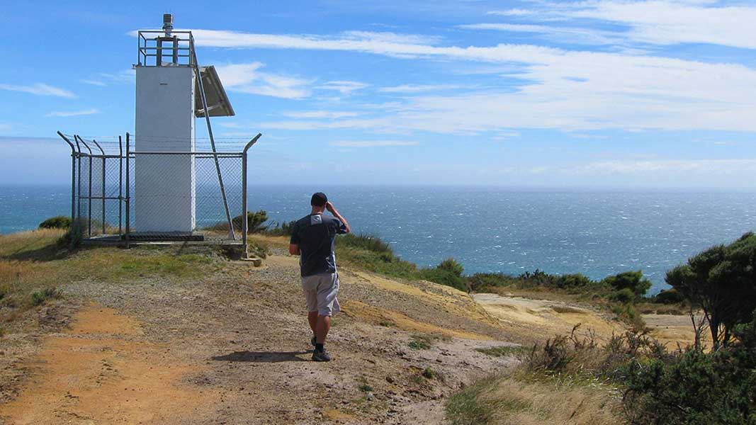
A walking and mountain biking track to Pillar Point Lighthouse.
The route
From a small car park off Wharariki Road, the walk climbs steadily up a 4WD track to the lighthouse. Only authorised vehicles are allowed to drive the track. At the lighthouse, the track connects with the Pūponga Hilltop Walk . From here you have the option to walk to Wharariki Beach or the car park at Triangle Flat.
Source: DOC Te Papa Atawhai.
Know before you go
General visiting rules
No dogs or other pets are allowed. Firearms are prohibited. Camping is not permitted on both Farewell Spit Nature Reserve and the Pūponga Farm Park. Take your rubbish away with you when you leave. Do not light fires or smoke. No fishing in the nature reserve.
Visiting Pūponga Farm Park
Seemingly harmless acts, such as leaving a gate open or taking a pet for a walk can have drastic consequences for farm management. Follow these rules when visiting the farm: Cars and motorcycles must stay on formed roads and car park areas. Leave gates as you find them; don't be tempted to close an open gate - it's open for a purpose! Hay and bull paddocks, and the airstrip (during operations), are off limits to visitors. Livestock, birds and plants are not to be disturbed or interfered with. At times the farm may be closed to the public. This is usually during lambing or calving, or when the fire risk is extreme. During such times, visitors are asked to keep to roads and car parks.
Source: DOC Te Papa Atawhai.
Nearby stops
Wharariki Beach Holiday Park
Tasman • 2.2 km
Wharariki Beach Holiday Park is a campsite located in the Tasman region. It offers accommodation for visitors exploring the Wharariki area.
Farewell Gardens
Tasman • 2.7 km
Farewell Gardens is a campsite located in the Tasman region of New Zealand. The provided records do not list specific facilities or details for this site.
Pakawau Beach Park
Tasman • 10.5 km
Pakawau Beach Park is a campsite located in the Tasman region of New Zealand. The provided data does not list specific facilities or details for this location.
Walks nearby
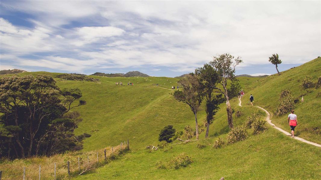
Pūponga Hilltop Walk
Advanced • 3 – 5 hours one way • 8 km • 0.27 km away
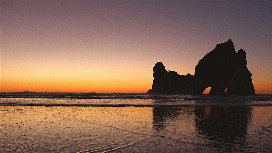
Wharariki Beach Track (Archway Islands)
Easy • 20 min one way • 1 km • 2.59 km away
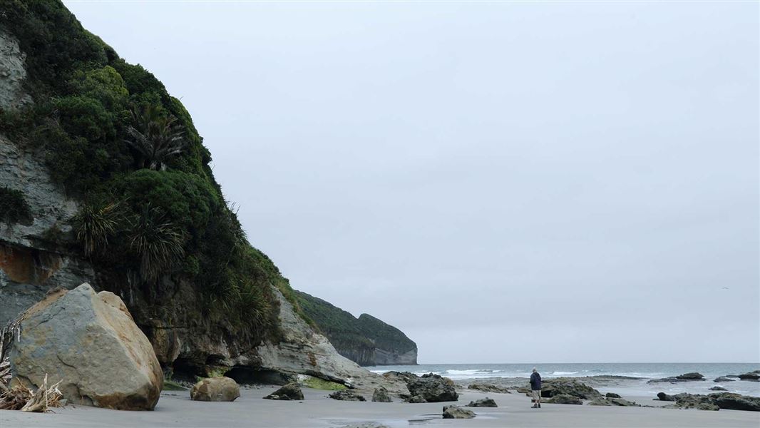
Fossil Point Track
Easy • 30 min one way • 2 km • 2.72 km away
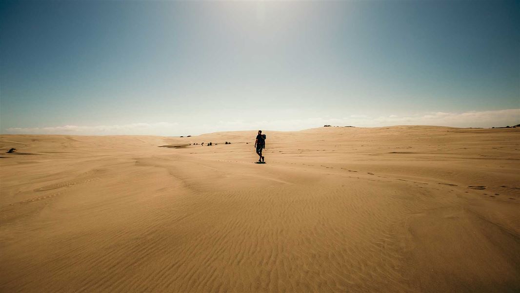
Farewell Spit Walk
Easy • 3 – 4 hour loop • 12 km • 3.48 km away
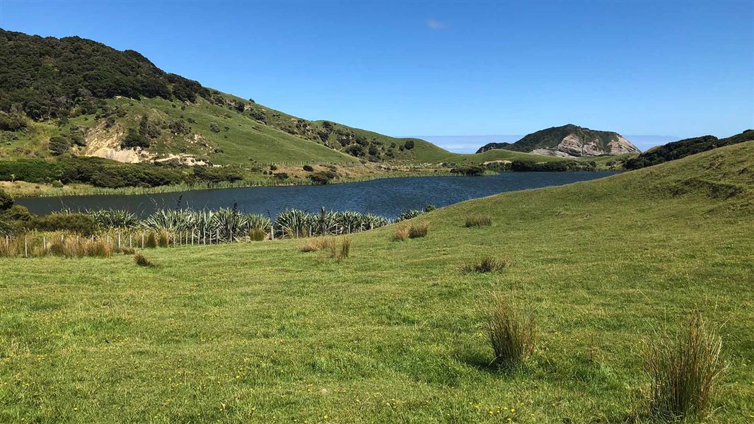
Pūponga Farm Track / Green Hills Route
Advanced • 3 hr return • 10 km • 4.94 km away
Notes from people who have been
No notes yet. If you have been, say what you found.
Something missing or out of date?
Closed, moved, wrong facts, or something we have missed? Travellers keep the Road Guide up to date. Tell us what you found at contribute@parkup.nz and we will check it and add it.
Ask us to take this down
A person reads every request. We do not remove a place until we have checked it.
Sources
- DOC Tracks (API) · CC BY 4.0Crown Copyright: Department of Conservation Te Papa Atawhai. Data sourced from the DOC Developer Portal (api.doc.govt.nz).