South Mavora Lake walking tracks
WalkSouthland
- Grade
- Easy
- Dogs
- On a lead
Getting there
We have not checked a road end or car park for this place yet, so we do not give driving directions to it. Check how to get there before you go. Some routes cross private land and need the landowner's permission.
How to get there, on doc.govt.nzYou can access these walking tracks from the Lake Mavora camping ground in the Mavora Lakes Conservation Park.
Access to Mavora Lakes is off of SH94 between Mossburn and Te Anau. There are signposted turn off points at Centre Hill or Burwood Station. Then follow gravel roads for 39 km.
There are no regular transport services to the Mavora Lakes in winter.
Source: DOC Te Papa Atawhai.
Map
Map data © OpenStreetMap contributors. Topo map: LINZ, CC BY 4.0. 45.32639° S, 168.15379° E
About this place
Day walk options from the Mavora Lakes camping ground in the Te Anau area. This track is part of Te Araroa Trail.
The route
This track is part of Te Araroa Trail .
South Mavora Lake Walking Track
Time: 2 hr 30 min
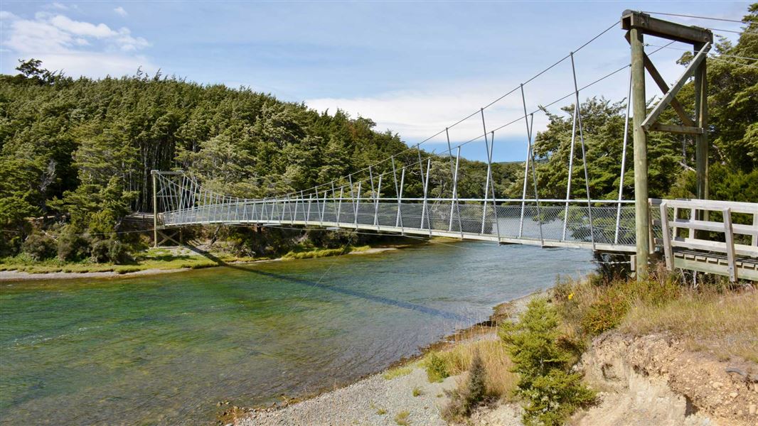
The track starts over the swingbridge near the camping area. It follows the Mararoa River downstream and around the shores of the South Mavora Lake, to the swingbridge at its outlet. An umarked route used by anglers also follows the shores of the North Mavora Lake for about an hour.
Lake Mavora to the Kiwi Burn Hut
Time: 4 hr
This track is suitable for families. There are two entry points to this walk. The first crosses the swingbridge at the outlet of South Mavora Lake and travels down the true right of the Mararoa River for 2 hr 30 min. Here it joins with the other access point, signposted on the Mavora Road, 1.5 km from Hikuraki Station. The next segment of the track to the Kiwi Burn Hut takes about 1 hr 30 min, following the Mararoa River downstream then branching to the hut. The track then continues past the hut, returning to the swingbridge.
Source: DOC Te Papa Atawhai.
Nearby stops
Mavora Lake DoC camping
Southland • 2.4 km
Mavora Lake DoC camping is a Department of Conservation campsite located in the Southland region of New Zealand. It provides basic accommodation for visitors…

Kiwi Burn Hut
Standard • 12 bunks • Southland • 5.9 km
Kiwi Burn Hut is a standard 12-bunk hut located in the Southland region.
Heating • Mattresses • Toilets - non-flush

Mavora Lakes Campsite
Standard • Southland • 6.7 km
Mavora Lakes Campsite in Southland offers two main standard camping areas. One area is located alongside South Mavora Lake, while the other sits between South…
BBQ • Boat launching • Fire pit/place for campfires (except in fire bans)
Upper Oreti Hut
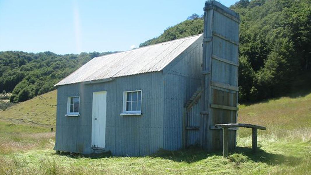
Basic/bivvies • 6 bunks • Southland • 7.4 km
Upper Oreti Hut is a basic shelter located within the Eyre Mountain/Taka Ra Haka Conservation Park in Southland.
Mattresses • Toilets - non-flush • Water from stream
Lincoln Hut
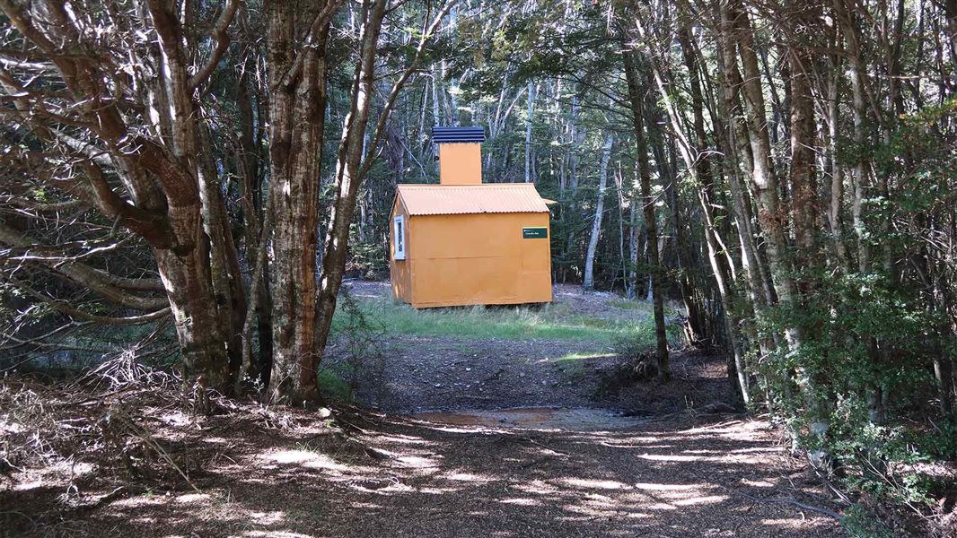
Basic/bivvies • 2 bunks • Southland • 8.1 km
Lincoln Hut is a basic two-bunk hut located in the Southland region.
Heating • Mattresses • Toilets - non-flush
Notes from people who have been
No notes yet. If you have been, say what you found.
Something missing or out of date?
Closed, moved, wrong facts, or something we have missed? Travellers keep the Road Guide up to date. Tell us what you found at contribute@parkup.nz and we will check it and add it.
Ask us to take this down
A person reads every request. We do not remove a place until we have checked it.
Sources
- DOC Tracks (API) · CC BY 4.0Crown Copyright: Department of Conservation Te Papa Atawhai. Data sourced from the DOC Developer Portal (api.doc.govt.nz).