Mavora Lakes Campsite
Standard campsiteLocated in Mavora Lakes Conservation Park, SouthlandOpen
- Sites
- 60
- Booking
- Can book
- Cost
- from $10
- Power
- None
- Toilet
- Non-flush
- Drinking water
- Boil first
- Dogs
- On a lead
Getting there
Mavora Lakes are accessible on gravel roads off SH94, a 1 hour 30 minute drive from Te Anau. There are two turn-off points from SH94 between Mossburn and Te Anau, at Centre Hill or Burwood Station, then follow gravel roads for 39 km.
Source: DOC Te Papa Atawhai.
Map
Map data © OpenStreetMap contributors. Topo map: LINZ, CC BY 4.0. 45.26801° S, 168.17500° E
About this place
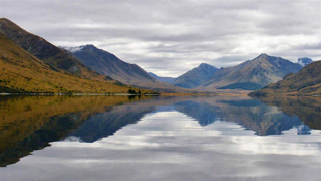
Mavora Lakes Campsite has two main (standard) camping areas: one alongside South Mavora Lake, and the other between South Mavora Lake and North Mavora Lake.
Know before you go
Driving rules
You must only use your vehicle on formed roads. The main road through the campsite is a legal road which means road rules apply. Any vehicles, including motorbikes, must be driven by a licenced driver and have a current registration and warrant of fitness. No non-licenced, unregistered motorbikes, including those ridden by children, are to be ridden on the internal campsite roads. The Mavora Lakes Conservation Area is a multi-use area. You must respect the right of others for quiet enjoyment and to have a great experience. Public vehicle access is generally unrestricted year-round, but roads can be closed at any time due to: safety environmental risks weather and seasonal conditions road conditions, and threats to conservation land. Follow the 4WD care code . This helps the long-term sustainability of the activity and the environment. If you want to use a vehicle in Mavora Lakes Conservation Area, you must also consider the suitability of the various tracks for your vehicle: the track from the camping area to Careys Hut is suitable for mountain biking, motor biking and 4WD vehicles. the track to Boundary Hut and the route to Forks Hut are very rough and not recommended for vehicles. Both tracks are suitable for mountain biking. mountain biking, motor biking, and 4WD vehicles are not permitted beyond Boundary and Forks huts. Failure to comply with the rules or conditions of access may result in restrictions and notification to the Police. Police conduct random inspections and will prosecute offenders.
Source: DOC Te Papa Atawhai.
Fees and bookings
The DOC Campsite Pass can be used at this campsite. Te Araroa – The Trail Pass Te Araroa Trail walkers should register and purchase the Te Araroa Trail Pass .
Bookings are open for stays up to 30 June 2027. If no availability shows online for your dates, the campsite is fully booked. No spaces are kept for campers arriving without a booking. Phone and in‑person bookings made at a visitor centre incur a $10 service fee. Same‑day bookings are available online until 8 pm if spaces remain. Book well in advance for the peak period from 1 December - 28 February and for public holiday weekends. Book Mavora Lakes Campsite online
Source: DOC Te Papa Atawhai.
Nearby stops
Mavora Lake DoC camping
Southland • 5.3 km
Mavora Lake DoC camping is a Department of Conservation campsite located in the Southland region of New Zealand. It provides basic accommodation for visitors…

West Burn Hut
Basic/bivvies • 6 bunks • Southland • 7.1 km
West Burn Hut is a basic six-bunk hut located in the Southland region.
Heating • Mattresses • Toilets - non-flush
Careys Hut
Standard • 6 bunks • Southland • 8.9 km
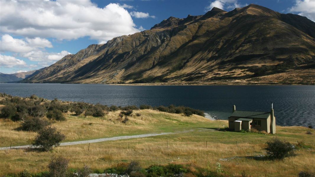
Careys Hut is a standard six-bunk hut located in the Southland region.
Heating • Mattresses • Toilets - non-flush

Army Hut
Basic/bivvies • 6 bunks • Southland • 11.5 km
Army Hut is a basic four-bunk hut located in the Southland region.
Heating • Mattresses • Toilets - non-flush

Kiwi Burn Hut
Standard • 12 bunks • Southland • 11.7 km
Kiwi Burn Hut is a standard 12-bunk hut located in the Southland region.
Heating • Mattresses • Toilets - non-flush
Contact
Te Rua-o-te-moko/Fiordland National Park Visitor Centre
1 Lakefront Drive, Te Anau 9600
Regional DOC service centre.
Notes from people who have been
No notes yet. If you have been, say what you found.
Something missing or out of date?
Closed, moved, wrong facts, or something we have missed? Travellers keep the Road Guide up to date. Tell us what you found at contribute@parkup.nz and we will check it and add it.
Ask us to take this down
A person reads every request. We do not remove a place until we have checked it.
Sources
- DOC Campsites (API) · CC BY 4.0Crown Copyright: Department of Conservation Te Papa Atawhai. Data sourced from the DOC Developer Portal (api.doc.govt.nz).
- OpenStreetMap Campsites · ODbL (Open Database License)Contains information from OpenStreetMap, made available under the ODbL.
- DOC Campsites · CC BY 4.0Data sourced from the Department of Conservation (DOC), New Zealand.