South Face Track
WalkCanterbury
- Grade
- Advanced
- Walking time
- 7 hr
- Distance
- 11.6 km
- Dogs
- No dogs
Getting there
We have not checked a road end or car park for this place yet, so we do not give driving directions to it. Check how to get there before you go. Some routes cross private land and need the landowner's permission.
How to get there, on doc.govt.nzSharplin Falls car park: Sharplin Falls car park is at the end of Flynns Road, Staveley.
Woolshed Creek car park: From Mount Somers township, follow Ashburton Gorge Road for approximately 10 km before turning right into Jig Road. Follow Jig Road to the end.
If you intend to walk only one way from Woolshed Creek car park and require vehicle transport, a local service is available, phone Marilyn Gray on +64 3 303 0809 before you start your trip.
Source: DOC Te Papa Atawhai.
Map and tracks
Track lines: DOC Te Papa Atawhai. Map data © OpenStreetMap contributors. Topo map: LINZ, CC BY 4.0. 43.63119° S, 171.35814° E
Got a good photo of this place? Send it to us and we will show it with your name.
About this place
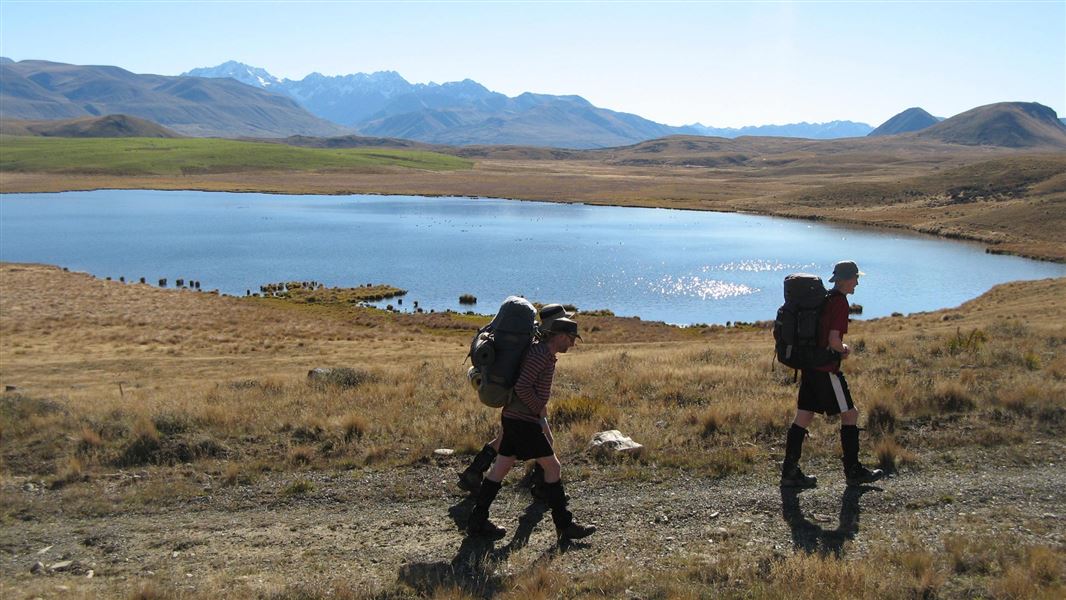
This is a challenging day walk across the south face of Mount Somers, from Woolshed Creek car park to Sharplin Falls car park.
The route
From Woolshed Creek car park, cross Woolshed Creek and climb steeply up a rocky ridge. The track then travels around the southern face of Mount Somers through a mix of open grassland and forest. You pass Acland Shelter, a good place to stop for a rest but not intended to be used overnight. This section of track eventually rises to its highest point (1080 m) at the junction of the Mount Somers summit hike . There are unbridged stream crossings, so assess these carefully before crossing and if in doubt, stay out. The final steep downhill section is through regenerating forest areas but is open enough to continue to provide interesting views to the east. In winter, the south face of Mount Somers gets very little sunlight, making the snow hard and icy. The south face and summit tracks can have persistent snow and ice in winter and spring. The best time to attempt these tracks is from November to April. The South Face Track is a tramping track and is more challenging than the Mount Somers Track. For an easier option, we recommend a day walk to Woolshed Creek Hut on the Mt Somers Track.
Understand if you are ready for Mt Somers tracks
Watch the NZ Mountain Safety Council’s walk-through video which takes you through how to prepare for the tracks on Mount Somers, including this track. It explains the facilities, key decision points, hazards and typical conditions for the area.
Source: DOC Te Papa Atawhai.
Know before you go
Be ready for all weather
The Mount Somers area is an alpine environment and bad weather can occur at any time of the year. The area can be extremely hot and dry, and at others times can experience freezing cold, high winds, heavy rain and snow. There is no tree cover on parts of the track and you are fully exposed to the weather. Always bring warm, waterproof layers, sturdy footwear and sun protection. Check the Mount Somers Track weather forecast
Pack well for your hike
Day hike packing list Use NZTopo50 map sheets BX19 and BX20. We recommend carrying a distress beacon.
Expect snow and challenging alpine conditions in winter
In winter, the south face of Mount Somers gets very little sunlight, making the snow hard and icy. The south face and summit tracks can have persistent snow and ice in winter and spring. Be aware of potential avalanche risk. The best time to attempt these tracks is from November to April.
There are wasps
Wasps may be present in high numbers, particularly during summer. Consider carrying an antihistamine product and if you are allergic to stings, ensure you bring your medication.
Stay safe when crossing rivers and streams
If you plan to cross unbridged rivers or side streams, know how to cross safely and be prepared for if you cannot cross. Do not cross if the river or stream is flooded, you cannot find safe entry and exit points or are unsure it’s safe. Turn back or wait for the river to drop. If in doubt, stay out. How to cross rivers safely NIWA river flow forecasts: View a video of national followed by regional river flows
Source: DOC Te Papa Atawhai.
Joins these tracks
Source: DOC Te Papa Atawhai.
Nearby stops
Acland Shelter
2 bunks • Canterbury • 0.3 km
Acland Shelter is a basic hut located in the Canterbury region. It provides simple overnight accommodation for tramping parties.

Pinnacles Hut
Serviced • 19 bunks • Canterbury • 3.1 km
Pinnacles Hut is a serviced 19-bunk hut located in the Mt Somers area of Canterbury.
Heating • Mattresses • Toilets - non-flush
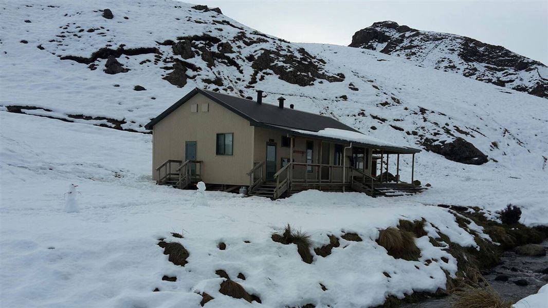
Woolshed Creek Hut
Serviced • 26 bunks • Canterbury • 4.2 km
Woolshed Creek Hut is a Department of Conservation hut located in the Canterbury region. It provides a suitable overnight stop for families with children or…
Heating • Mattresses • Toilets - non-flush
Three Creeks Hut
Canterbury • 8.5 km
Mt Somers Holiday Park
Canterbury • 8.8 km
Walks nearby
Te Kiekie Route
Tramping track • 2 hr • 2.7 km • 1.91 km away
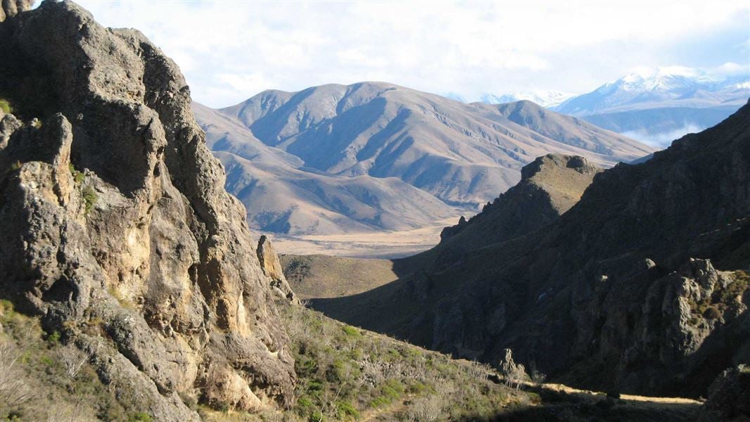
Mount Somers Track
Intermediate • 2 days • 17.1 km • 2.91 km away
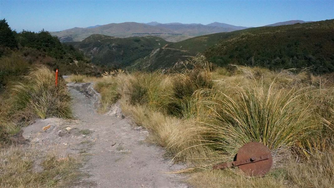
Track to Woolshed Creek Hut
Intermediate • 3 hr • 5.1 km • 4.29 km away
Mount Somers Nature Walk
Easy • 30 min one way • 1 km • 4.58 km away
Stour Track
Intermediate • 5 hr one way • 15 km • 8.15 km away
Notes from people who have been
No notes yet. If you have been, say what you found.
Something missing or out of date?
Closed, moved, wrong facts, or something we have missed? Travellers keep the Road Guide up to date. Tell us what you found at contribute@parkup.nz and we will check it and add it.
Ask us to take this down
A person reads every request. We do not remove a place until we have checked it.
Sources
- DOC Tracks (API) · CC BY 4.0Crown Copyright: Department of Conservation Te Papa Atawhai. Data sourced from the DOC Developer Portal (api.doc.govt.nz).