Smith Creek - Tauwharenīkau River
WalkWellington
- Grade
- Advanced
- Walking time
- 5 hr
- Distance
- 13 km
- Dogs
- Under control
Getting there
We have not checked a road end or car park for this place yet, so we do not give driving directions to it. Check how to get there before you go. Some routes cross private land and need the landowner's permission.
How to get there, on doc.govt.nzTurn off State Highway 2 onto Marchant Road at the YMCA Camp Kaitoke turnoff. Near the end of Marchant Road, turn right into Kiwi Ranch Road. The carpark is located on the left, approximately 500m along Kiwi Ranch Road.
Source: DOC Te Papa Atawhai.
Map
Map data © OpenStreetMap contributors. Topo map: LINZ, CC BY 4.0. 41.06830° S, 175.25476° E
Got a good photo of this place? Send it to us and we will show it with your name.
About this place
This is a daytrip in the southern Tararua Range and the exit/entry to the Kaitoke-Holdsworth Tramp.
The route
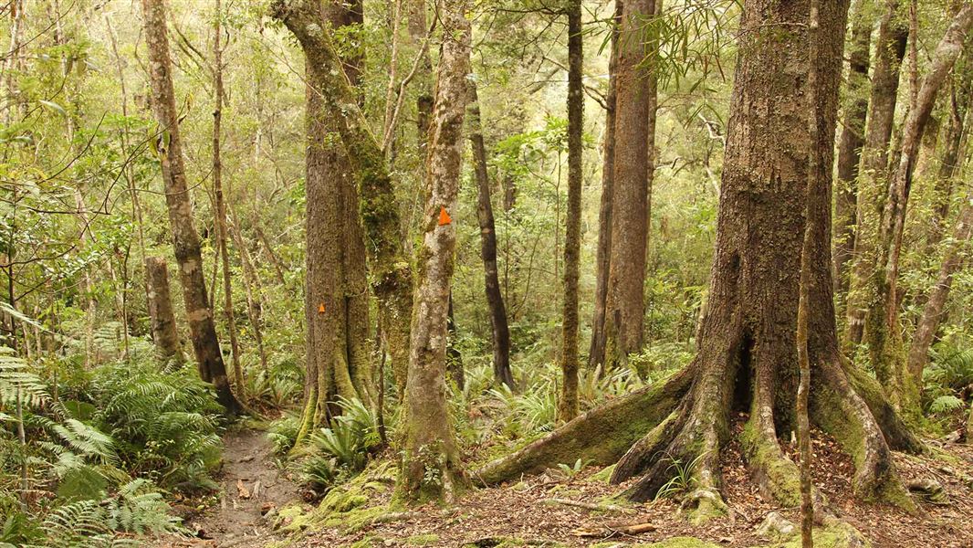
This 4 hr return day trip in the southern Tararua Range takes you over the Puffer Saddle and down Smith Creek with its fine stands of red/hard beech forest, to its confluence with the Tauwharenīkau River at the Smith Creek Shelter. You can also walk further up the Tauwharenīkau Valley to Marchant Creek for views of the river and the young podocarp forest regenerating in the manuka on the flats. There are unbridged side streams on this track. These may not be safe to cross during or after rain. There are severe slips on Smith Creek Track up to Smith Creek Shelter. Extreme caution is required. Traversing the slips may add up to 1.5 hr to the completion time of the return trip.
Source: DOC Te Papa Atawhai.
Know before you go
Stay safe when crossing rivers and streams
If you plan to cross unbridged rivers or side streams, know how to cross safely and be prepared for if you cannot cross. Do not cross if the river or stream is flooded, you cannot find safe entry and exit points or are unsure it’s safe. Turn back or wait for the river to drop. If in doubt, stay out. How to cross rivers safely NIWA river flow forecasts: View a video of national followed by regional river flows
Source: DOC Te Papa Atawhai.
Nearby stops
YMCA Kaitoke Outdoor Education Centre
Wellington • 2.3 km
The YMCA Kaitoke Outdoor Education Centre is a campsite located in the Wellington region. It operates as an outdoor education facility providing accommodation…
Smith Creek Shelter
Wellington • 2.5 km
Smith Creek Shelter is a hut located in the Wellington region. The provided records contain no further details regarding its facilities or specific location.
Kaitoke Regional Park Campground
Wellington • 4.7 km
Kaitoke Regional Park Campground is a campsite located in the Wellington region. It is situated within the Kaitoke Regional Park, offering a base for visitors…
Eastern Hutt Hut
Wellington • 5.9 km
Eastern Hutt Hut is a backcountry hut located in the Wellington region. It provides basic shelter for hikers traversing the local tracks.
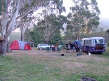
Bucks Road Campsite
Standard • Wellington • 8.3 km
Bucks Road Campsite is set in regenerating bush above the Tauherenikau River in the Wairarapa. Campers can pitch at the road end or walk about 150 m along a…
Non-powered/tent sites • Water from stream • Toilets - non-flush
Walks nearby
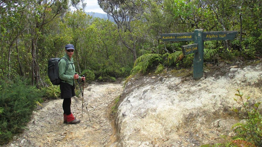
Dobson Loop Track
Easy • 5.5 hr (return to Smith Creek Shelter) • 13 km (return to Smith Creek Shelter). 11.5 km (Dobson loop) • 0.53 km away
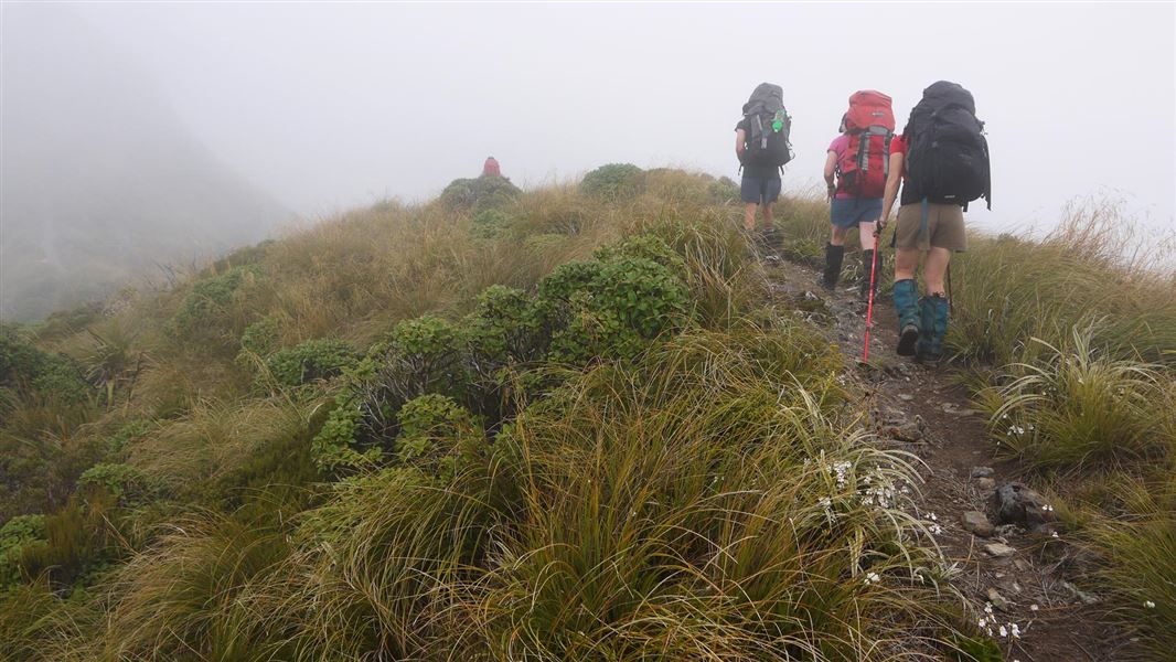
Tararua Southern Crossing
Advanced • 3 days • 9.28 km away
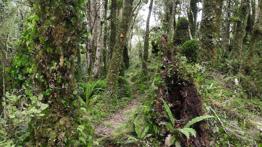
Renata-Alpha Crossing
Advanced • 3–4 days • 10.87 km away
Holdsworth - Kaitoke Track
Advanced • 2–3 days • 36 km • 12.42 km away
Neill Winchcombe Circuit
Advanced • 3 days • 14.47 km away
Notes from people who have been
No notes yet. If you have been, say what you found.
Something missing or out of date?
Closed, moved, wrong facts, or something we have missed? Travellers keep the Road Guide up to date. Tell us what you found at contribute@parkup.nz and we will check it and add it.
Ask us to take this down
A person reads every request. We do not remove a place until we have checked it.
Sources
- DOC Tracks (API) · CC BY 4.0Crown Copyright: Department of Conservation Te Papa Atawhai. Data sourced from the DOC Developer Portal (api.doc.govt.nz).