Rocks Hut
Standard hutMount Richmond Forest Park, MarlboroughOpen
- Sleeps
- 16 bunks
- Booking
- Can book
- Cost
- from $15
- Heating
- Yes
- Drinking water
- Boil first
- Toilet
- Non-flush
Getting there
We have not checked a road end or car park for this place yet, so we do not give driving directions to it. Check how to get there before you go. Some routes cross private land and need the landowner's permission.
How to get there, on doc.govt.nz- Topo map
- Topo50 sheet BQ26
- Grid reference
- E1629603, N5420399
Source: DOC Te Papa Atawhai.
Map and tracks
Track lines: DOC Te Papa Atawhai. Map data © OpenStreetMap contributors. Topo map: LINZ, CC BY 4.0. 41.36718° S, 173.35492° E
About this place
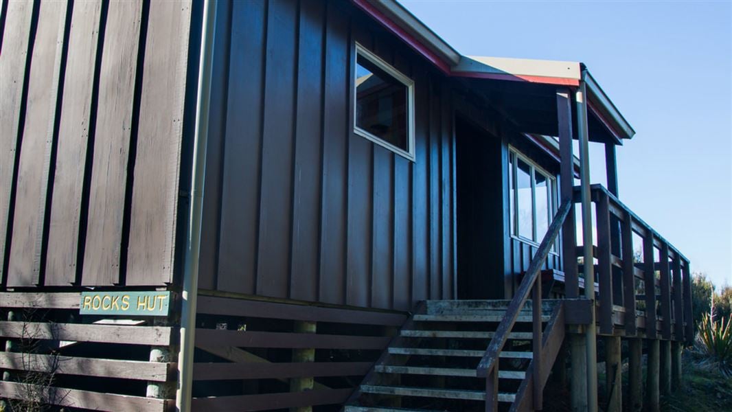
This is a standard 16-bunk hut in the Pelorus River valley.
On the way here
Pelorus Track · 3-4 days
Middy Creek Hut to Rocks Hut
Time: 3 hr
From Middy Creek Hut cross a swingbridge and then climb for 20 min to a junction where the Pelorus Track branches left. The Rocks Track climbs steadily from the junction for about 600 m up a ridge. Passing through an area with many hummocks and rock outcrops, the track turns northwards and meets the Bryant Range near Rocks Hut.
Rocks Hut to The Brook
Time: 5 hr 30 min
The route leads from Rocks Hut to a junction at Dun Saddle. The main track branches left, joining the Dun Mountain Trail at Coppermine Saddle. The Coppermine Saddle descends gently on the line of the old Dun Mountain Railway, which served the chromite and copper mines nearby until 1866. From Coppermine Saddle the track rounds Windy Point just before the mineral belt ends and native forest takes over. The track continues to Third House Shelter. The forest ends suddenly where the track meets a fire break and the Dun Mountain Trail. To the left the track leads steeply down to Brook Street in Nelson City. The Dun Mountain Trail continues straight ahead along the old railway line ending up further along Brook Street, close to Nelson City.
Rocks Hut to Tōtara Saddle
Time: 4 hr
From Rocks Hut, this track wanders through a landscape of rock outcrops and hillocks. It then climbs over several high points before beginning its descent towards Tōtara Saddle. It emerges on to an open patch of tussock land associated with the mineral belt, which it crosses for 15 min before re-entering the forest and descending, steeply in places, to the saddle.
Richmond Ranges Te Araroa route · 8 days
Middy Creek Hut to Rocks Hut
Time: 3 hr
From Middy Creek Hut, cross a swing bridge and then climb for 20 minutes to a junction where the Pelorus Track branches left. The Rocks Track climbs steadily from the junction for about 600 m up a ridge. Passing through an area with many hummocks and rock outcrops, the track turns northwards and meets the Bryant Range near Rocks Hut. Rocks Hut
Rocks Hut to Browning Hut
Time: 4 hr 30 min
The track leaves Rocks Hut. It crosses Rocks Creek and skirts around the side of The Rocks (939m), continuing on past various rocky outcrops and high points. At the track begins to descend to Tōtara Saddle, it passes through an open area of tussock, then re-enters the bush. The descent becomes steeper as you approach Tōtara Saddle (690 m). From Tōtara Saddle, descend steeply for 30 min to Browning Hut beside Browning Stream. Browning Hut
Source: DOC Te Papa Atawhai.
Trip options
Walking times come from DOC track descriptions, added up leg by leg from car-accessible trailheads. Nights and return times are ParkUp estimates, allowing about 8 hours of walking a day.
2 options · 2 to 8 nights
Roadend
Walking in
9 hr (via Captains Creek Hut, Middy Creek Hut)
Walking out
9 hr to Roadend (via Captains Creek Hut, Middy Creek Hut)
Walking in
9 hr (via Captains Creek Hut, Middy Creek Hut)
Walking out
49 hr 30 min to Tophouse Road (via Browning Hut, Hacket Hut, Starveall Hut, Slaty Hut, Old Man Hut, Mt Rintoul Hut, Tarn Hut, Mid Wairoa Hut, Hunters Hut, Porters Creek Hut, Red Hills Hut)
Source: DOC Te Papa Atawhai track descriptions.
Fees and bookings
Before you go, buy Hut Tickets for each night's stay. Put these in the honesty box at the hut. Or buy a Backcountry Hut Pass that gives unlimited use at most Standard and Serviced huts for a 12 month period. Retailers that sell hut tickets and passes Te Araroa – The Trail Pass Te Araroa Trail Pass
Book Rocks Hut online
Source: DOC Te Papa Atawhai.
On these tracks
Source: DOC Te Papa Atawhai.
Nearby stops
Middy Creek Hut
Standard • 6 bunks • Marlborough • 3.7 km
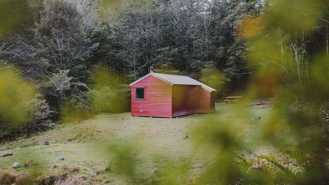
Middy Creek Hut is a standard six-bunk hut located in the Pelorus River valley in Marlborough.
Heating • Mattresses • Toilets - non-flush
Captains Creek Hut
Standard • 6 bunks • Marlborough • 6.7 km
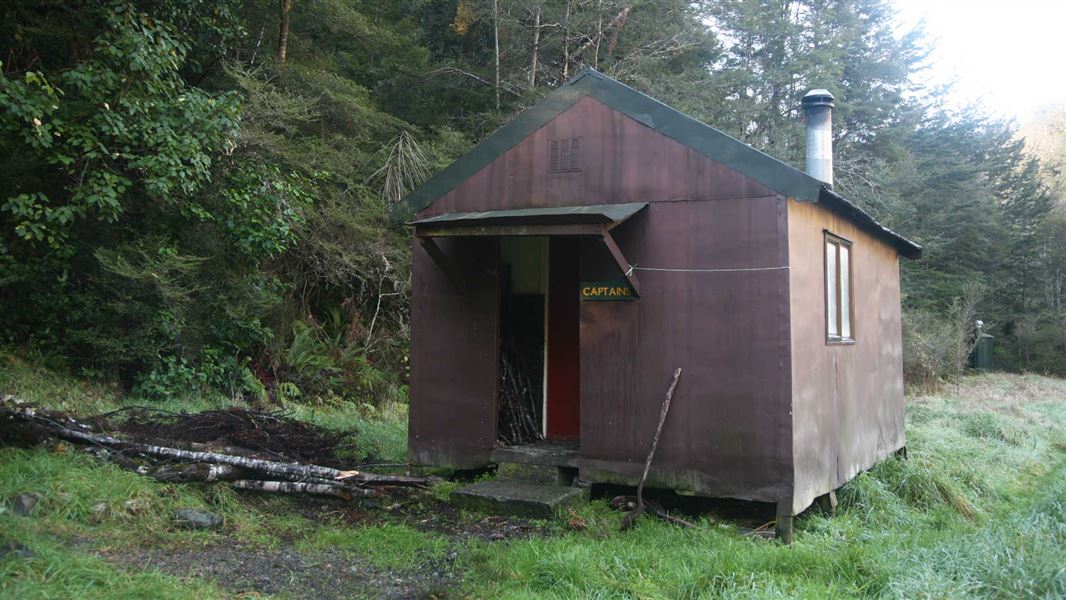
Captains Creek Hut is a standard six-bunk hut located in the Pelorus River valley in Marlborough. It provides basic accommodation for hikers in the region.
Heating • Mattresses • Toilets - non-flush
Browning Hut
Standard • 8 bunks • Tasman • 8.3 km
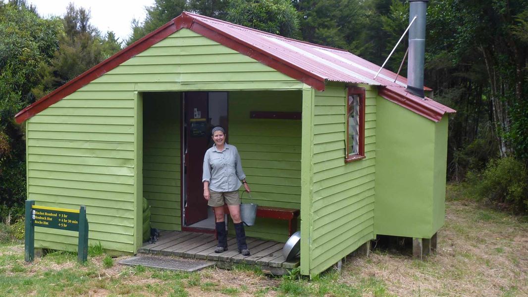
Browning Hut is a standard eight-bunk hut located in the Motueka area of the Tasman region.
Heating • Mattresses • Toilets - non-flush
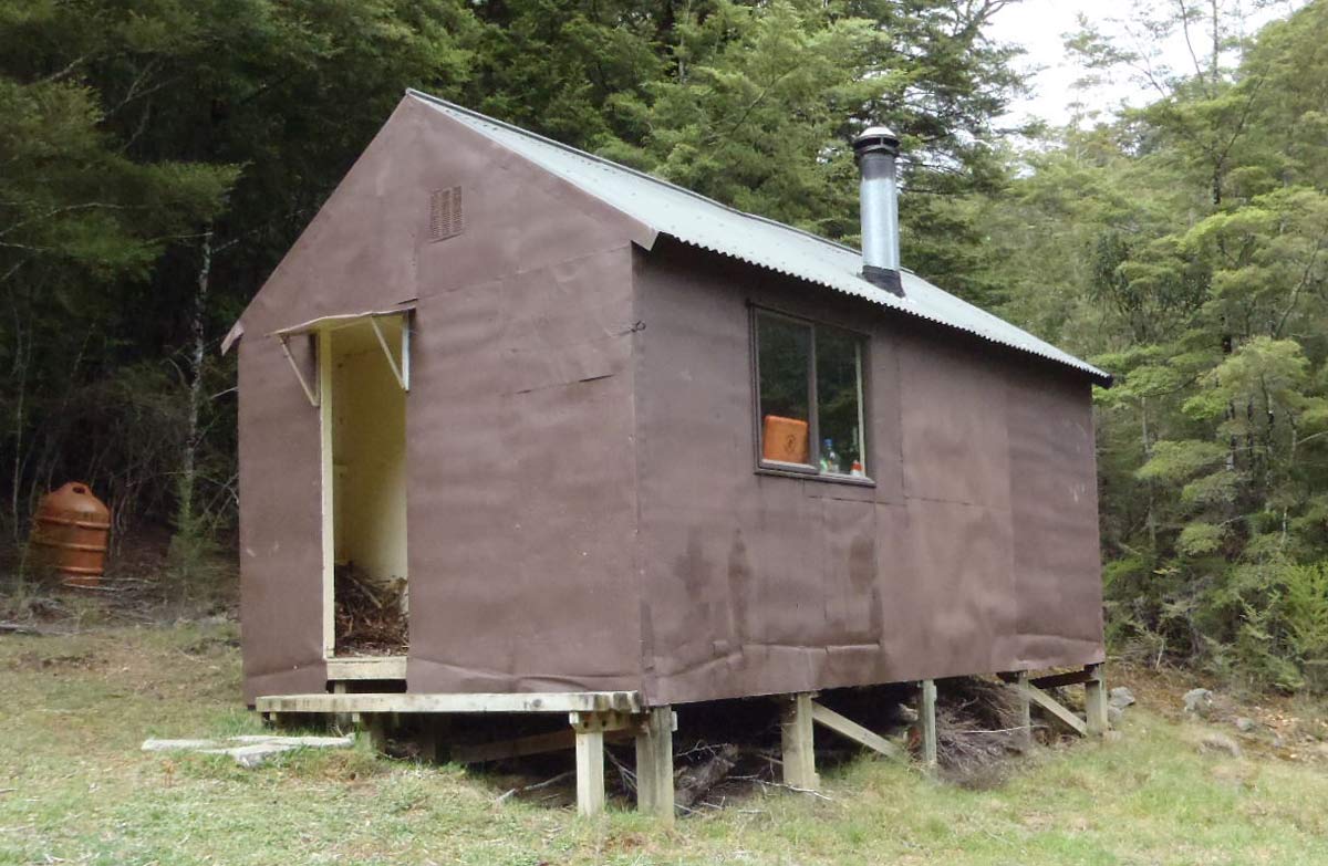
Roebuck Hut
Standard • 6 bunks • Marlborough • 5 km
Roebuck Hut is a standard six-bunk hut located in the Pelorus River valley in Marlborough.
Heating • Mattresses • Toilets - non-flush
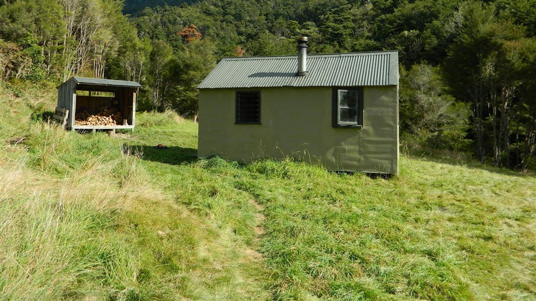
Hacket Hut
Standard • 6 bunks • Tasman • 10.6 km
Hacket Hut is a standard six-bunk hut located in the Motueka area of the Tasman region.
Heating • Mattresses • Toilets - non-flush
Walks nearby
Contact
DOC Customer Service Centre
Regional DOC service centre.
Notes from people who have been
No notes yet. If you have been, say what you found.
Something missing or out of date?
Closed, moved, wrong facts, or something we have missed? Travellers keep the Road Guide up to date. Tell us what you found at contribute@parkup.nz and we will check it and add it.
Ask us to take this down
A person reads every request. We do not remove a place until we have checked it.
Sources
- DOC Huts · CC BY 4.0Data sourced from the Department of Conservation (DOC), New Zealand.
- DOC Huts (API) · CC BY 4.0Crown Copyright: Department of Conservation Te Papa Atawhai. Data sourced from the DOC Developer Portal (api.doc.govt.nz).
- OpenStreetMap Huts · ODbL (Open Database License)Contains information from OpenStreetMap, made available under the ODbL.