Hacket Track
WalkTasmanOpen
- Grade
- Advanced
- Walking time
- 4 hr
- Distance
- 11.4 km
- Route
- One way
- Dogs
- DOC permit only
Getting there
We have not checked a road end or car park for this place yet, so we do not give driving directions to it. Check how to get there before you go. Some routes cross private land and need the landowner's permission.
How to get there, on doc.govt.nzThe track starts from the signposted Hacket Track car park on the Aniseed Valley Road.
Follow SH6 out of Nelson, heading south. Drive through Stoke and Richmond, then at Hope turn left onto Aniseed Valley Road.
Follow Aniseed Valley Road for 11.5 km (about 15 minutes), then turn off the road onto a gravel driveway, which leads a short distance to the Hacket Track car park. The turnoff from Aniseed Road has a DOC signpost for Hacket Track.
Source: DOC Te Papa Atawhai.
Map and tracks
Track lines: DOC Te Papa Atawhai. Map data © OpenStreetMap contributors. Topo map: LINZ, CC BY 4.0. 41.40073° S, 173.22844° E
About this place
A day walk up the Hacket Creek valley to Hacket Hut. This track has been badly damaged – there are many slips, take great care.
The route
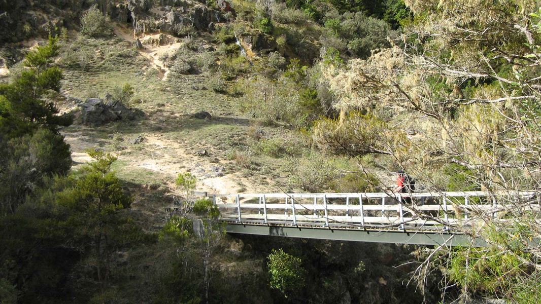
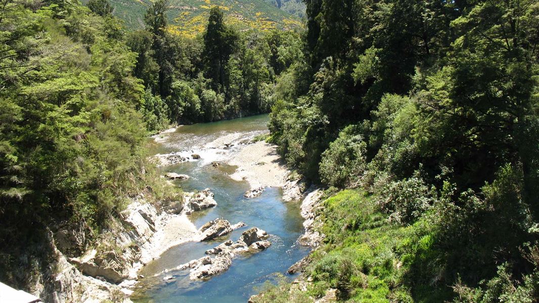
Hacket Track starts at the picnic area by the Hacket Track car park. It crosses a wooden bridge over the Roding River and, after 1 km, a suspension bridge across Hacket Creek. The track follows the creek through private land before reaching a picnic area at the junction of Miner River and Hacket Creek. At this point you have the option of turning on to the Whispering Falls Track. Continue along Hacket Track to Hacket Hut. 30 minutes upstream, at the junction of the Browning Stream, a sign-posted track leads to Browning Hut. Walkers should continue on the right-hand track to Hacket Hut.
Side track: Chromite Mine Track
Time: 25 min
1.1 km This track leads to a historic chromite mine. It turns off of Hacket Track not far up the valley from the Whispering Falls junction. There is the option to continue over the ridge into the Serpentine River Valley (meeting the Serpentine River Road) and back to the Hacket car park. It is 6.2 km (2 hr) to the car park from the turn off.
Source: DOC Te Papa Atawhai.
Know before you go
There are many washouts, slips and a high risk of falling rocks
Erosion on Hacket Track Image: DOC There are many slips along Hacket Track and Whispering Falls Track. Slips are very common in this area and further slips and rockfalls are likely – if you are not comfortable with this risk, we recommend choosing a different track. Slips are marked with danger signs – move quickly but carefully through these sections and do not stop. Many sections of the track between the car park and the Whispering Falls turnoff have been washed out by extreme weather events. The ground is unstable and more track sections could collapse.
Avoid the track during heavy rain
Heavy rain makes slips more likely. We recommend avoiding the track completely if heavy rain is forecast.
Source: DOC Te Papa Atawhai.
Joins these tracks
Source: DOC Te Papa Atawhai.
Nearby stops
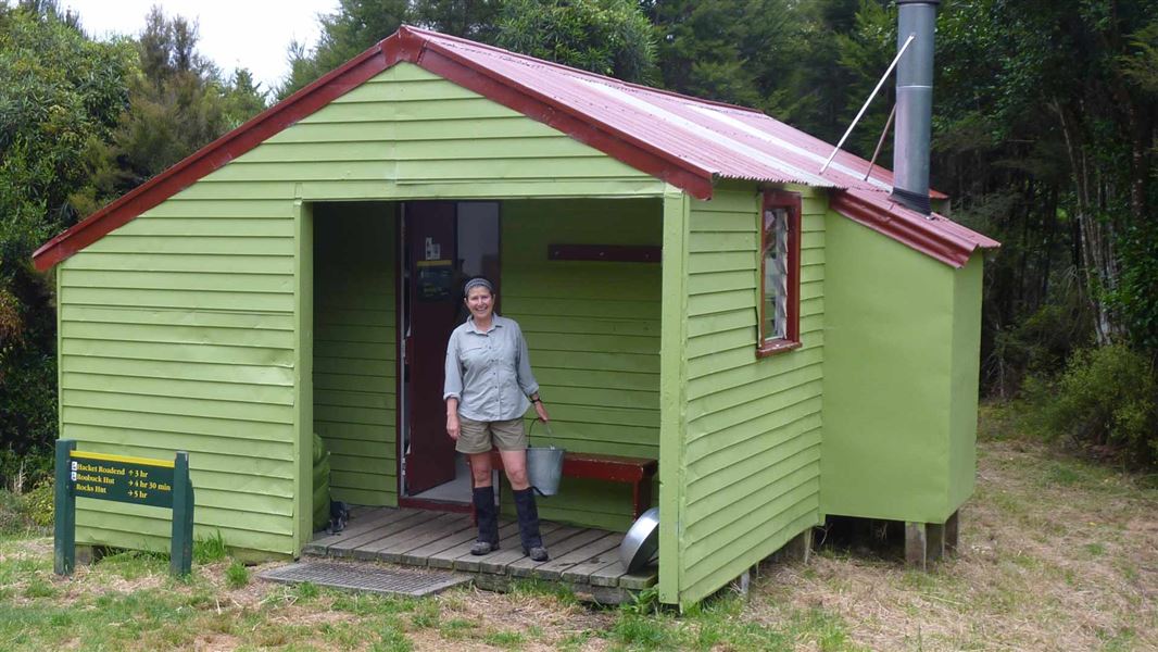
Browning Hut
Standard • 8 bunks • Tasman • 4.3 km
Browning Hut is a standard eight-bunk hut located in the Motueka area of the Tasman region.
Heating • Mattresses • Toilets - non-flush
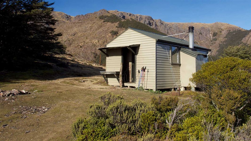
Starveall Hut
Standard • 6 bunks • Tasman • 6.5 km
Starveall Hut is a standard 6-bunk hut located in the Motueka area of the Tasman region.
Heating • Mattresses • Toilets - non-flush
Richmond Motel & Holiday Park
Tasman • 8 km
Richmond Motel & Holiday Park is a campsite located in the Tasman region. It offers accommodation options for visitors passing through the area.
Queen Street Holiday Park
Tasman • 9.2 km
Queen Street Holiday Park is a campsite located in the Tasman region. The provided records do not list specific facilities or amenities for this site.
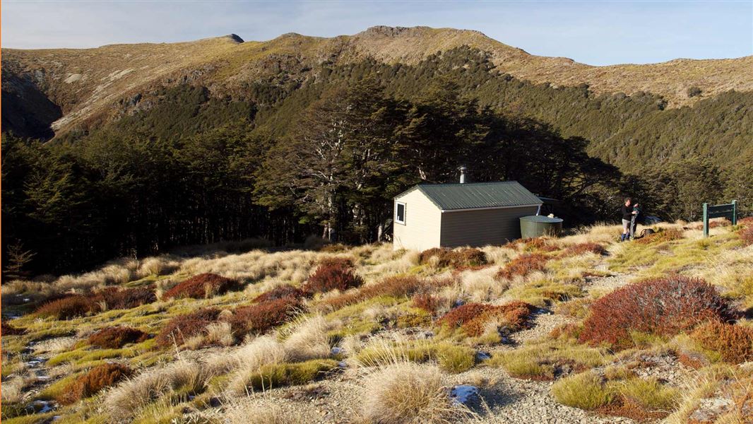
Slaty Hut
Standard • 6 bunks • Marlborough • 10.3 km
Slaty Hut is a standard six-bunk hut located in the Motueka area of the Nelson/Tasman region.
Heating • Mattresses • Toilets - non-flush
Walks nearby
Notes from people who have been
No notes yet. If you have been, say what you found.
Something missing or out of date?
Closed, moved, wrong facts, or something we have missed? Travellers keep the Road Guide up to date. Tell us what you found at contribute@parkup.nz and we will check it and add it.
Ask us to take this down
A person reads every request. We do not remove a place until we have checked it.
Sources
- DOC Tracks (API) · CC BY 4.0Crown Copyright: Department of Conservation Te Papa Atawhai. Data sourced from the DOC Developer Portal (api.doc.govt.nz).
- DOC Tracks & Trails · CC BY 4.0Data sourced from the Department of Conservation (DOC), New Zealand.