Ridge Loop Track
WalkTaranakiOpen
- Grade
- Easy
- Walking time
- 1 hr 20 min
- Distance
- 1.9 km
- Route
- One way
- Dogs
- No dogs
Getting there
We have not checked a road end or car park for this place yet, so we do not give driving directions to it. Check how to get there before you go. Some routes cross private land and need the landowner's permission.
How to get there, on doc.govt.nzThe track starts at the Dawson Falls Visitor Centre.
To get there starting from Stratford, turn off State Highway 23 into Celia Street, which becomes Opunake Road. Follow this for 14 km, then turn right into Manaia Road. Continue on this road for 9 km up the mountain to Dawson Falls Visitor Centre.
Source: DOC Te Papa Atawhai.
Map
Map data © OpenStreetMap contributors. Topo map: LINZ, CC BY 4.0. 39.31983° S, 174.10196° E
About this place
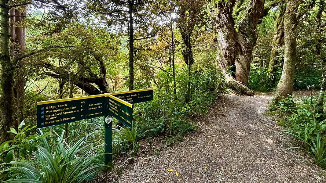
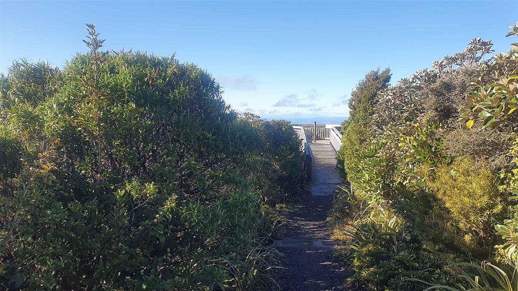
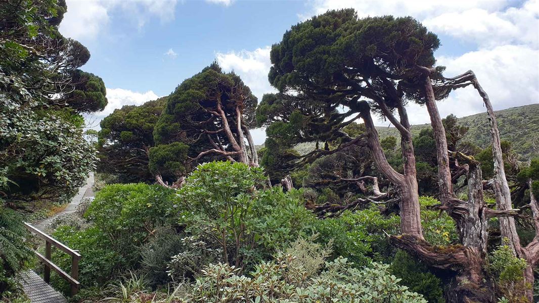
This track meanders uphill through subalpine forest, crossing the Kapuni Stream before looping and returning to the visitor centre.
The route
Follow the Wilkies Pools Loop Track then turn right at the first junction to cross Kapuni Stream. Rock hop across the stream then continue until the next junction, turning right to head up a short steep track to join the Ridge Track. Turn right, walking down the ridge and over the bridge across the Kapuni Stream to reach Manaia Road below the visitor centre. Take care when crossing the Kapuni Stream as the river bank may be eroded, making access difficult. If the Kapuni Stream is impassable due to flooding, return back to Wilkies Pool Track junction. Turn right to continue up to the pools and across the bridge. From here you can follow signs to Stratford Plateau and then turn right to descend the Ridge Track. Take care when crossing the Kapuni Stream as the river bank may be eroded, making access difficult. There is no bridge across this stream. It may be impassable after heavy rain.
Source: DOC Te Papa Atawhai.
Know before you go
Be ready for changeable weather
Taranaki Maunga has changeable and unpredictable weather. Check the forecast and carry enough clothing and equipment to ensure you are able to cope with any type of weather, at any time of the year. Snow, high rainfall and storm damage can make tracks impassable. Te Papa-Kura-o-Taranaki weather forecast – NIWA website
Take extra care on the access road
Take care when travelling up Manaia Road to Dawson Falls road end as there may be increased traffic and heavy goods vehicles. Dawson Falls Lodge is being redeveloped at Dawson Falls road end. The Lodge and café are closed during this work.
Source: DOC Te Papa Atawhai.
Nearby stops
Freedom Camping
Taranaki • 0.5 km
Freedom Camping is a campsite located in the Taranaki region. The available records do not provide further details about specific facilities or features at…

Waingongoro Hut
Serviced • 16 bunks • Taranaki • 0.7 km
Waingongoro Hut is a DOC hut located in the Taranaki region. It is a suitable destination for a half day or overnight tramp, particularly for families with…
Heating • Mattresses • Toilets - non-flush
Hooker Shelter
Taranaki • 1.2 km
Hooker Shelter is a hut located in the Taranaki region. The available records provide no further details regarding its specific facilities or location.
Manganui Public Shelter
Taranaki • 2 km
Kapuni Lodge
Taranaki • 2.1 km
Kapuni Lodge is a private hut in the Taranaki region that is available for hire. Non-members pay a fee of $25, and bookings can be made by contacting…
Walks nearby
Notes from people who have been
No notes yet. If you have been, say what you found.
Something missing or out of date?
Closed, moved, wrong facts, or something we have missed? Travellers keep the Road Guide up to date. Tell us what you found at contribute@parkup.nz and we will check it and add it.
Ask us to take this down
A person reads every request. We do not remove a place until we have checked it.
Sources
- DOC Tracks (API) · CC BY 4.0Crown Copyright: Department of Conservation Te Papa Atawhai. Data sourced from the DOC Developer Portal (api.doc.govt.nz).
- DOC Tracks & Trails · CC BY 4.0Data sourced from the Department of Conservation (DOC), New Zealand.