Stratford Plateau Lookout
WalkTaranakiOpen
- Grade
- Easiest
- Walking time
- 30 min
- Dogs
- No dogs
Getting there
We have not checked a road end or car park for this place yet, so we do not give driving directions to it. Check how to get there before you go. Some routes cross private land and need the landowner's permission.
How to get there, on doc.govt.nzAccess to the east side of Taranaki Maunga is via Pembroke Road which leads directly to the park boundary from the northern end of Stratford township.
The road climbs through popdocarp/broadleaf forest and then montane forest, reaching the accommodation centre of the Mountain House Motor Lodge. The road winds its way another 3km to the road end car park at the Stratford Plateau (1172 m) where there are superb views of the surrounding countryside.
Access to the east side of Taranaki Maunga is via Pembroke Road which leads directly to the park boundary from the northern end of Stratford township.
The road climbs through popdocarp/broadleaf forest and then montane forest, reaching the accommodation centre of the Mountain House Motor Lodge. The road winds its way another 3km to the road end car park at the Stratford Plateau (1172 m) where there are superb views of the surrounding countryside.
Source: DOC Te Papa Atawhai.
Map
Map data © OpenStreetMap contributors. Topo map: LINZ, CC BY 4.0. 39.30748° S, 174.10052° E
About this place
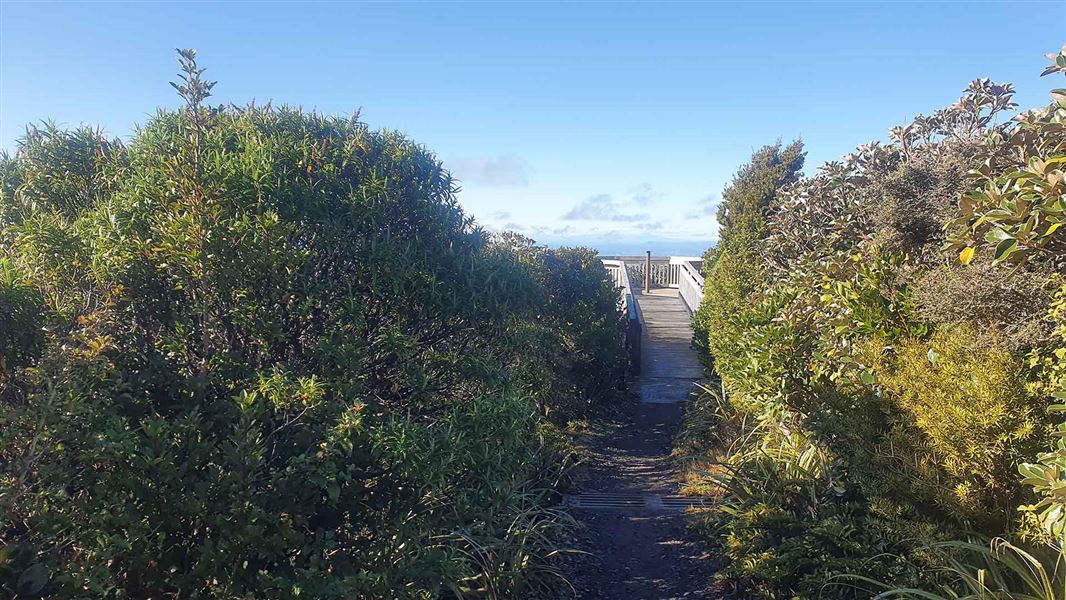
Discover great views of Taranaki Maunga from the lookout.
The route
This track begins at the end of the road at the Stratford Plateau. Take a right hand turn just below the carpark toilets and follow the signs to the lookout. Here you will have spectacular views up the mountain and down to the Taranaki ring plain. See how plant types change with the altitude. Wheelchair and buggy users should note that some sections of the track may be narrow due to vegetation on the track, and some sections may be rough or uneven. Wheelchair assistance is recommended if you’re unfamiliar with the track.
Source: DOC Te Papa Atawhai.
Nearby stops
Manganui Public Shelter
Taranaki • 0.9 km

Waingongoro Hut
Serviced • 16 bunks • Taranaki • 1.5 km
Waingongoro Hut is a DOC hut located in the Taranaki region. It is a suitable destination for a half day or overnight tramp, particularly for families with…
Heating • Mattresses • Toilets - non-flush
Hooker Shelter
Taranaki • 1.6 km
Hooker Shelter is a hut located in the Taranaki region. The available records provide no further details regarding its specific facilities or location.
Kapuni Lodge
Taranaki • 1.8 km
Kapuni Lodge is a private hut in the Taranaki region that is available for hire. Non-members pay a fee of $25, and bookings can be made by contacting…
Freedom Camping
Taranaki • 1.9 km
Freedom Camping is a campsite located in the Taranaki region. The available records do not provide further details about specific facilities or features at…
Walks nearby
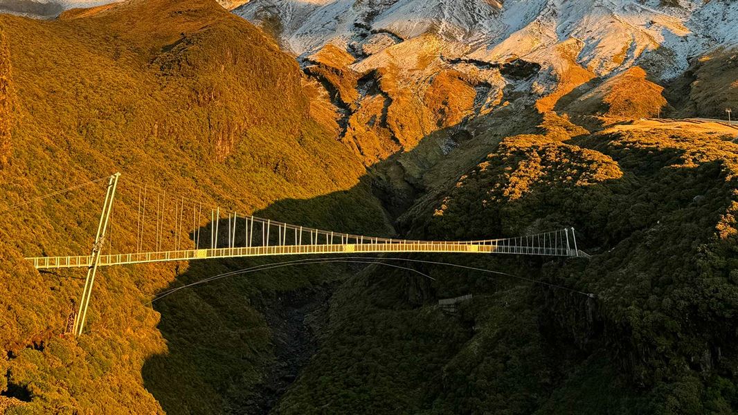
Manganui Gorge Track
Easy • 20 min one way to bridge and further 5-10 min to ski field • 0.75 km away
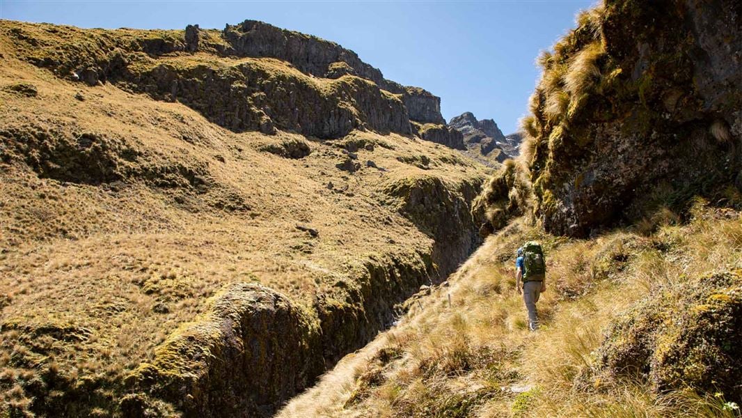
Around the Mountain Circuit
Advanced • 4–5 days loop • 52 km • 1.15 km away
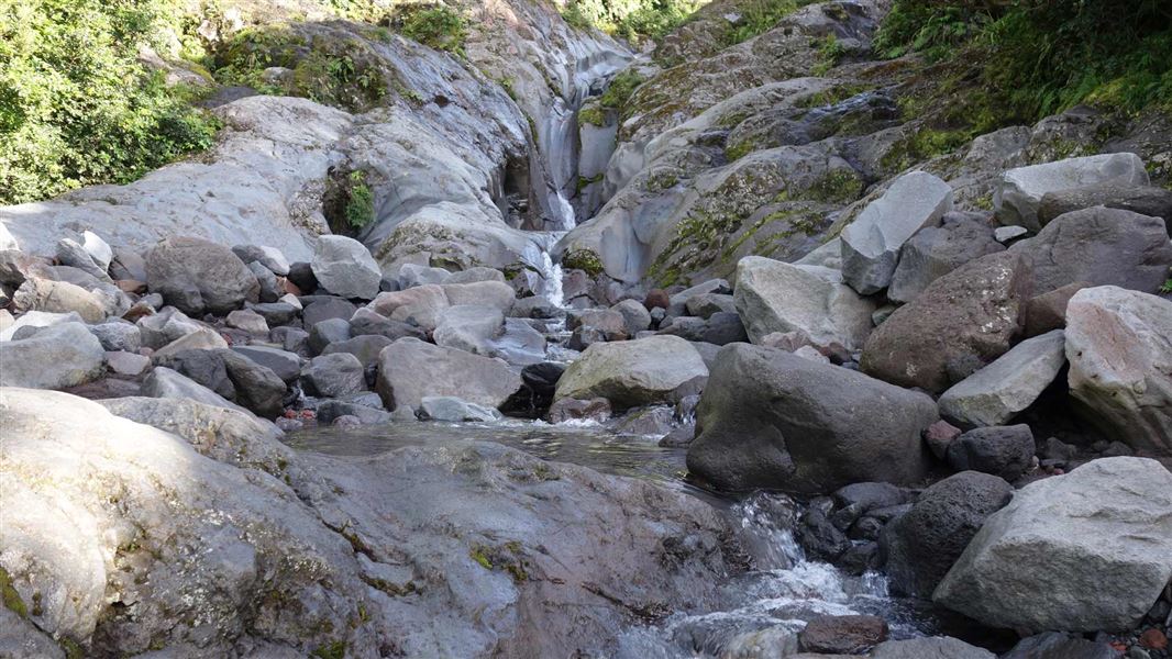
Wilkies Pools Loop Track
Easy • 1 hr 20 min • 1.9 km • 1.24 km away
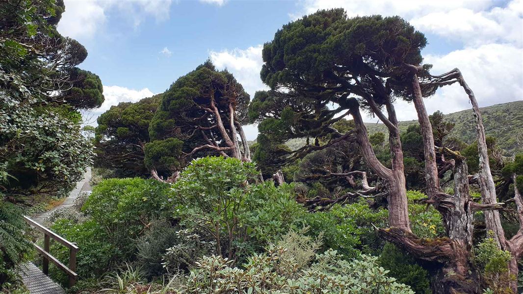
Patea Track
Easy • 1 hr 30 min • 1.37 km away
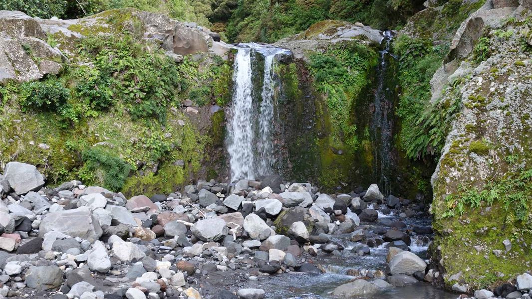
Curtis Falls Track
Advanced • 2–3 hr return • 2.1 km to Curtis Falls • 1.38 km away
Notes from people who have been
No notes yet. If you have been, say what you found.
Something missing or out of date?
Closed, moved, wrong facts, or something we have missed? Travellers keep the Road Guide up to date. Tell us what you found at contribute@parkup.nz and we will check it and add it.
Ask us to take this down
A person reads every request. We do not remove a place until we have checked it.
Sources
- DOC Tracks (API) · CC BY 4.0Crown Copyright: Department of Conservation Te Papa Atawhai. Data sourced from the DOC Developer Portal (api.doc.govt.nz).
- DOC Tracks & Trails · CC BY 4.0Data sourced from the Department of Conservation (DOC), New Zealand.