Rakiura Track
WalkSouthland
- Grade
- Intermediate
- Walking time
- 3 days
- Distance
- 32 km
- Dogs
- No dogs
Getting there
We have not checked a road end or car park for this place yet, so we do not give driving directions to it. Check how to get there before you go. Some routes cross private land and need the landowner's permission.
How to get there, on doc.govt.nzMap
Map data © OpenStreetMap contributors. Topo map: LINZ, CC BY 4.0. 46.87555° S, 168.05991° E
About this place
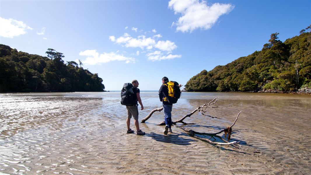
Escape on an island adventure - relax and unwind in the peaceful surroundings with the bush, birds and beach at your side.
The route
Highlights
The circuit follows open coastline, crosses forested interior and meanders along the sheltered shores of Paterson Inlet. It passes sites of historical interest and introduces many of the common sea and forest birds of the island. Parts of it cross Māori land and access is courtesy of the owners. Explore on Google Street View | Watch videos
Places to stay
The campsites are not adjacent to the huts. Camping is only allowed at these designated campsites. When camping, you may not use hut facilities, but a cooking shelter, water supply and toilet are provided at each site.
Oban township to Lee Bay
Time: 1 hr 30 mins
km
Lee Bayto Port William Hut
Time: 3 to 4 hr
km Passing through the chain link sculpture at Lee Bay, the track follows the coast to Little River, which is crossed by a bridge. At low tide it is possible to walk around the beach and pick up the track at the point. From there the track heads around Peter’s Point and on to Maori Beach. The creek at the southern end of Maori Beach can easily be waded at low tide, however at high tide, continue along the track until you come to a small foot bridge. A track leading to a rusting steam boiler, a relic from the sawmilling days, can be found just few minutes on from the turn-off to this bridge. Maori Beach campsite is situated in a grassy clearing close to the beach. A larger bridge spans the tidal stream at the northern end of the beach and from here the track climbs a small hill and continues on to the intersection with the track to North Arm. Turn right and you will gradually drop down to the campsite above Magnetic Beach in Port William/Potirepo. Port William Hut is just a few minutes beyond the campsite.
Port William Hut to North Arm Hut
Time: 6 hr
km This section of track starts on the hill between Maori Beach and Port William. Trampers usually stay the night at Port William Hut and then backtrack the 40 minutes to the turn-off. The track passes through a variety of vegetation including previously milled and virgin podocarp forest. Remnants of milling activity are seen along the track as it follows old tramlines for the logs being directed to their various destinations.
Very muddy parts
During long periods of rain the track can get so muddy that the mud goes above boot height. The muddy areas can be up to 500 m long and also muddy in smaller sections. Gaiters are recommended as the mud can reach above footwear level. Some people also prefer to use tramping poles along this section. Log haulers on Google Street View A campsite, with shelter and toilet, is sited above North Arm Hut.
North Arm Hut to Fern Gully car park
Time: 4 to 4 hr 30 min
km This section of track provides trampers access to the shores of Paterson Inlet. The track sidles around the headland from North Arm to Sawdust Bay.It passes a sawmill site which was operated between 1914 and 1918. The track continues through rimu and kamahi dominated forest emerging at the sheltered bays of Kidney Fern Arm and Kaipipi Bay. At Kaipipi Bay two sawmills employed more than 100 people in the 1860s. The track between Kaipipi and Halfmoon Bays follows the former Kaipipi Road, in its heyday the most used and best maintained on the island.
Fern Gully car park to Oban township
it is another 2 km along the road (turn left into Main Rd) to get back to Oban township.
Source: DOC Te Papa Atawhai.
Know before you go
Sections of deep mud
During long periods of rain the track can get so muddy that the mud goes above boot height. This occurs between Port William Hut to North Arm Hut. The muddy areas can be up to 500 m long and also in smaller sections. Sturdy footwear and gaiters are recommended as the mud can reach above footwear level. Some people also prefer to use tramping poles along this section.
Safety is your responsibility
Mobile coverage is restricted to the immediate township so consider carrying a distress beacon. Share your plans with a trusted contact before your trip. Also fill in the hut books and include any change of plans. Keep to the tracks. Off the tracks the valleys are steep-sided and densely bush-clad.
Exposed netting on the track
Be careful where netting is exposed and on wooden steps, these sections may be slippery.
Source: DOC Te Papa Atawhai.
On this track
In walking order.

North Arm Hut
Great Walk • 24 bunks • Southland
- Toilet
- Heating
- Water

Port William Hut
Great Walk • 24 bunks • Southland
- Toilet
- Heating
- Water

Māori Beach Campsite
Great Walk • Southland
- Toilet
- Water

North Arm Campsite
Great Walk • Southland
- Toilet
- Water

Port William Campsite
Great Walk • Southland
- Toilet
- Water
Nearby stops
Sawdust Bay Campsite
Southland • 3.3 km
Sawdust Bay Campsite is a camping area located in the Southland region of New Zealand. The provided records do not list specific facilities or amenities for…
Allan's Base Camp
Southland • 4.1 km
Stewart Island Backpackers
Southland • 5.7 km
Rakiura Cabins
Southland • 7 km
Rakiura Cabins is a campsite located in the Southland region. The provided data does not include further details about its facilities or specific location.

Bungaree Hut
Standard • 16 bunks • Southland • 7.7 km
Bungaree Hut is a standard 16-bunk hut located in the Stewart Island/Rakiura area of Southland.
Heating • Mattresses • Toilets - non-flush
Walks nearby
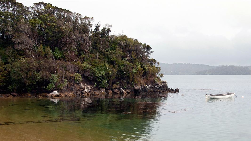
Ulva Island/Te Wharawhara walking tracks
Easiest • Various: 20 min to 2 hr return • 7.69 km away
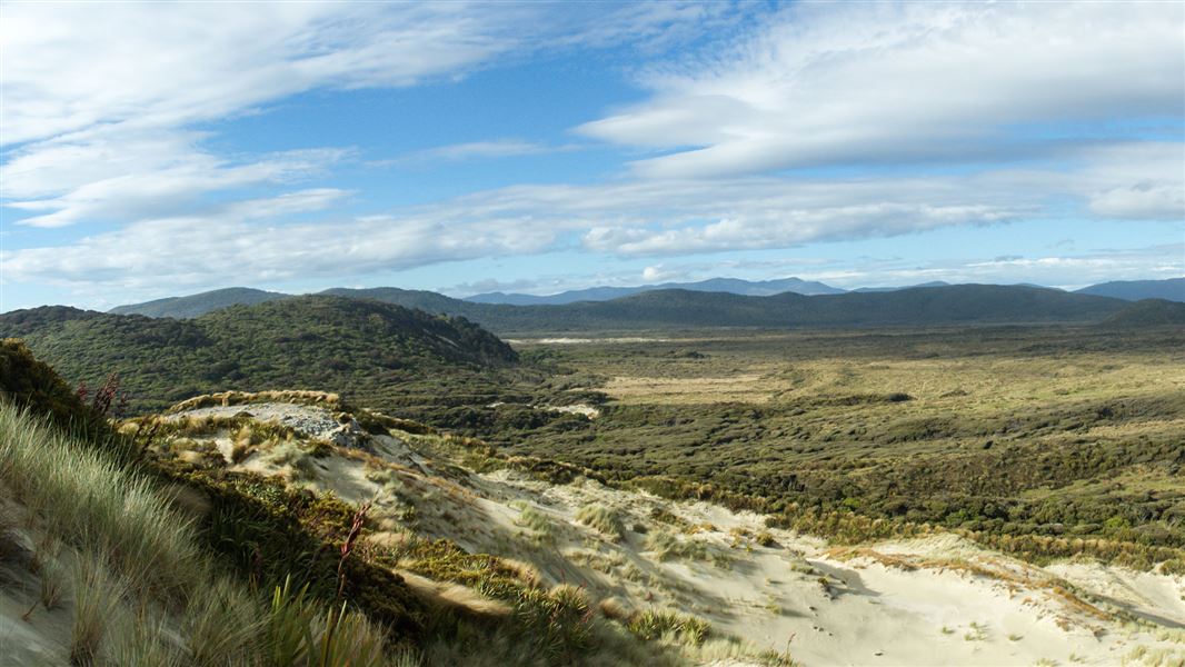
Southern Circuit Stewart Island/Rakiura
Advanced • 4 - 6 days round trip from Freshwater landing • 71.5 km • 8.42 km away
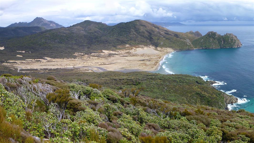
North West Circuit Stewart Island/Rakiura
Advanced • 9 - 11 days • 125 km • 12.76 km away
Notes from people who have been
No notes yet. If you have been, say what you found.
Something missing or out of date?
Closed, moved, wrong facts, or something we have missed? Travellers keep the Road Guide up to date. Tell us what you found at contribute@parkup.nz and we will check it and add it.
Ask us to take this down
A person reads every request. We do not remove a place until we have checked it.
Sources
- DOC Tracks (API) · CC BY 4.0Crown Copyright: Department of Conservation Te Papa Atawhai. Data sourced from the DOC Developer Portal (api.doc.govt.nz).