Port William Hut
Great Walk hutRakiura National Park, SouthlandOpen
- Sleeps
- 24 bunks
- Booking
- Can book
- Heating
- Yes
- Drinking water
- Boil first
- Toilet
- Non-flush
Getting there
We have not checked a road end or car park for this place yet, so we do not give driving directions to it. Check how to get there before you go. Some routes cross private land and need the landowner's permission.
How to get there, on doc.govt.nz- Topo map
- Topo50 sheet CH09
Source: DOC Te Papa Atawhai.
Map and tracks
Track lines: DOC Te Papa Atawhai. Map data © OpenStreetMap contributors. Topo map: LINZ, CC BY 4.0. 46.83580° S, 168.08709° E
About this place
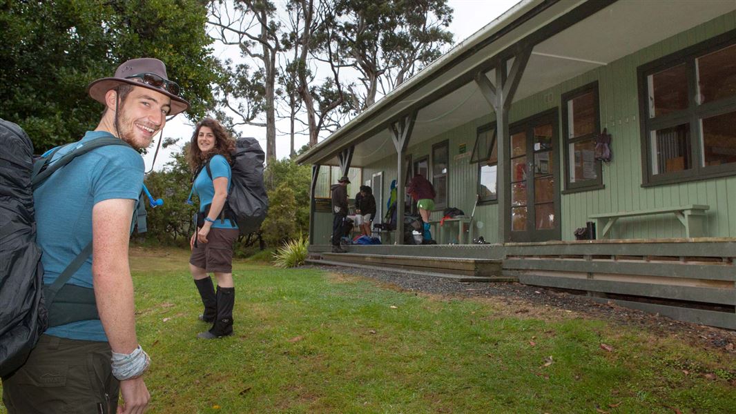
This is a 24-bunk Great Walk hut located on the Rakiura Track in the Stewart Island/Rakiura area.
On the way here
Rakiura Track · 3 days
Lee Bayto Port William Hut
Time: 3 to 4 hr
km Passing through the chain link sculpture at Lee Bay, the track follows the coast to Little River, which is crossed by a bridge. At low tide it is possible to walk around the beach and pick up the track at the point. From there the track heads around Peter’s Point and on to Maori Beach. The creek at the southern end of Maori Beach can easily be waded at low tide, however at high tide, continue along the track until you come to a small foot bridge. A track leading to a rusting steam boiler, a relic from the sawmilling days, can be found just few minutes on from the turn-off to this bridge. Maori Beach campsite is situated in a grassy clearing close to the beach. A larger bridge spans the tidal stream at the northern end of the beach and from here the track climbs a small hill and continues on to the intersection with the track to North Arm. Turn right and you will gradually drop down to the campsite above Magnetic Beach in Port William/Potirepo. Port William Hut is just a few minutes beyond the campsite.
Port William Hut to North Arm Hut
Time: 6 hr
km This section of track starts on the hill between Maori Beach and Port William. Trampers usually stay the night at Port William Hut and then backtrack the 40 minutes to the turn-off. The track passes through a variety of vegetation including previously milled and virgin podocarp forest. Remnants of milling activity are seen along the track as it follows old tramlines for the logs being directed to their various destinations.
Source: DOC Te Papa Atawhai.
Know before you go
Weather forecast
Port William Hut weather forecast – NIWA website
Boil water before use
Water at this hut is not treated and needs to be boiled before use. High rat numbers on Stewart Island/Rakiura increase the risk of tank water being contaminated.
What to take
Huts have basic facilities. You'll need to take: sleeping bag cooking stove, gas, pots/pans and utensils toilet paper rubbish bag newspaper/firelighters and matches/lighter for the wood burner/fire torch.
Source: DOC Te Papa Atawhai.
Fees and bookings
Backcountry Hut Passes and Backcountry Hut Tickets cannot be used at this hut.
Book Rakiura Track huts/campsites online Read the terms and conditions before you book.
Source: DOC Te Papa Atawhai.
Nearby stops

Port William Campsite
Great Walk • Southland • 0.3 km
Port William Campsite is a basic Great Walk campsite located on Stewart Island/Rakiura in Southland. It sits on a grassy area directly in front of Magnetic…
Fire pit/place for campfires (except in fire bans) • Non-powered/tent sites • Water from tap - not treated, boil before use

Māori Beach Campsite
Great Walk • Southland • 2.3 km
Māori Beach Campsite is a basic Great Walk campsite located on Stewart Island/Rakiura in Southland. It sits in a grassy clearing with sand dunes and the beach…
Fire pit/place for campfires (except in fire bans) • Non-powered/tent sites • Water from tap - not treated, boil before use

North Arm Campsite
Great Walk • Southland • 7.4 km
North Arm Campsite is a basic Great Walk campsite on Stewart Island/Rakiura in Southland. It sits a short distance from North Arm Hut and is surrounded by…
Fire pit/place for campfires (except in fire bans) • Non-powered/tent sites • Water from tap - not treated, boil before use

North Arm Hut
Great Walk • 24 bunks • Southland • 7.4 km
North Arm Hut is a 24-bunk Great Walk hut located on the Rakiura Track in the Stewart Island/Rakiura area of Southland.
Heating • Mattresses • Toilets - non-flush
Walks nearby
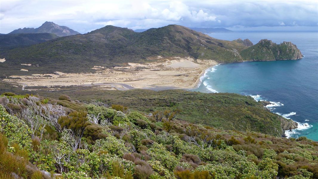
North West Circuit Stewart Island/Rakiura
Advanced • 9 - 11 days • 125 km • 10.46 km away
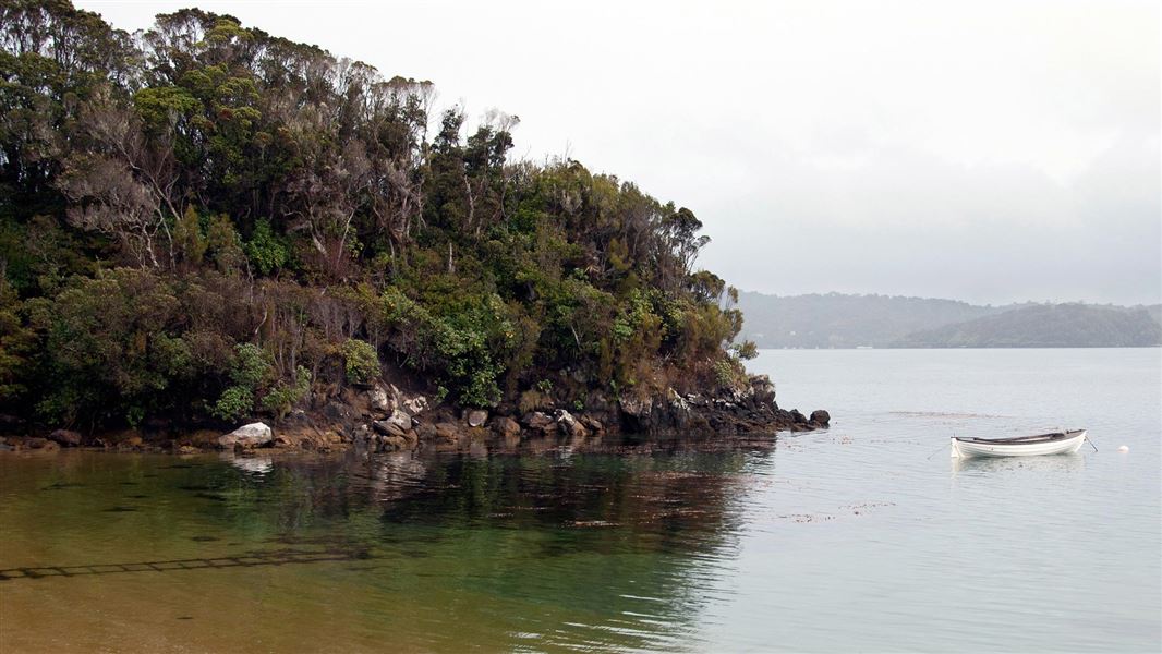
Ulva Island/Te Wharawhara walking tracks
Easiest • Various: 20 min to 2 hr return • 10.64 km away
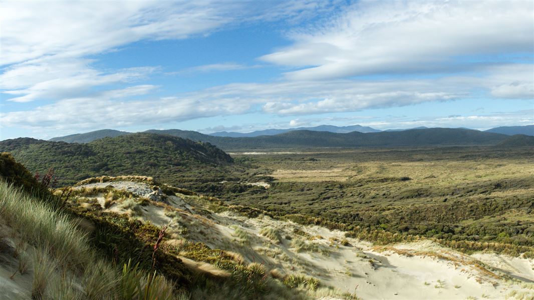
Southern Circuit Stewart Island/Rakiura
Advanced • 4 - 6 days round trip from Freshwater landing • 71.5 km • 12.59 km away
Contact
Rakiura National Park Visitor Centre
Regional DOC service centre.
Something missing or out of date?
Closed, moved, wrong facts, or something we have missed? Travellers keep the Road Guide up to date. Tell us what you found at contribute@parkup.nz and we will check it and add it.
Ask us to take this down
A person reads every request. We do not remove a place until we have checked it.
Sources
- DOC Huts · CC BY 4.0Data sourced from the Department of Conservation (DOC), New Zealand.
- DOC Huts (API) · CC BY 4.0Crown Copyright: Department of Conservation Te Papa Atawhai. Data sourced from the DOC Developer Portal (api.doc.govt.nz).
- OpenStreetMap Huts · ODbL (Open Database License)Contains information from OpenStreetMap, made available under the ODbL.