Pearl Harbour to Back Valley Hut Track
WalkSouthland
- Grade
- Advanced
- Walking time
- 5 hr
- Distance
- 7.8 km (approx.)
- Dogs
- No dogs
Getting there
We have not checked a road end or car park for this place yet, so we do not give driving directions to it. Check how to get there before you go. Some routes cross private land and need the landowner's permission.
How to get there, on doc.govt.nzThis track starts and finishes at Pearl Harbour, Manapouri, Fiordland.
To get to the start of the track you need to cross the Waiau River. There are water taxis available in the summer season, or row boats can be hired. For options contact: Manapouri Store, phone +64 3 249 6619.
To get to Manapouri from Te Anau (21 km, 20 minutes drive), follow the Manapouri - Te Anau Highway.
The wharf at Pearl Harbour is 500 m past the shops on Waiau St, and the carpark is accessed from View St (left turn south of shops).
Source: DOC Te Papa Atawhai.
Map and tracks
Track lines: DOC Te Papa Atawhai. Map data © OpenStreetMap contributors. Topo map: LINZ, CC BY 4.0. 45.58928° S, 167.58159° E
About this place
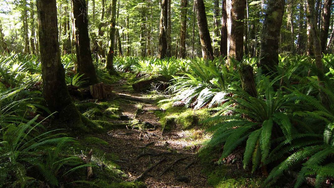
A tramping track leading through beech forest to Back Valley Hut near Manapouri, with a side trip option to peaceful Lake Rakatu.
The route
From the jetty on the other side of the Waiau River, follow the track for 15 minutes. Bypass the Circle Track sign on the left - carry on straight ahead. The track follows close to the lake edge a few times and there are some unofficial tracks that lead to the lake itself. From here the track climbs gently to the spur where the Circle Track rejoins the main track. Continue straight ahead again until reaching the Back Valley/Hope Arm Hut junction. Take the left branch, which leads through beech and podocarp forest and a stand of ribbonwood before emerging in some small clearings, where the Back Valley Hut is situated. After heavy rain this part of the track can be quite muddy.
Back Valley Hut to Lake Rakatu, 2 hr return
The track leaves behind the hut and generally follows Stinking Creek, meandering through tall manuka stands, open clearings, podocarp and beech forest to the lake. The lake has abundant waterfowl and good fishing.
Back Valley Hut to Hope Arm Hut, 1 - 1.5 hr one way
This tramping track allows side trips from either hut, or loop track options.
Source: DOC Te Papa Atawhai.
Joins these tracks
Source: DOC Te Papa Atawhai.
On this track
In walking order.


Nearby stops
Possum Lodge
Southland • 3.1 km
Manapouri Motel and Holiday Park
Southland • 4.5 km

Shallow Bay Hut
Standard • 6 bunks • Southland • 10.9 km
Shallow Bay Hut is a standard six-bunk hut located in eastern Fiordland.
Heating • Mattresses • Toilets - non-flush
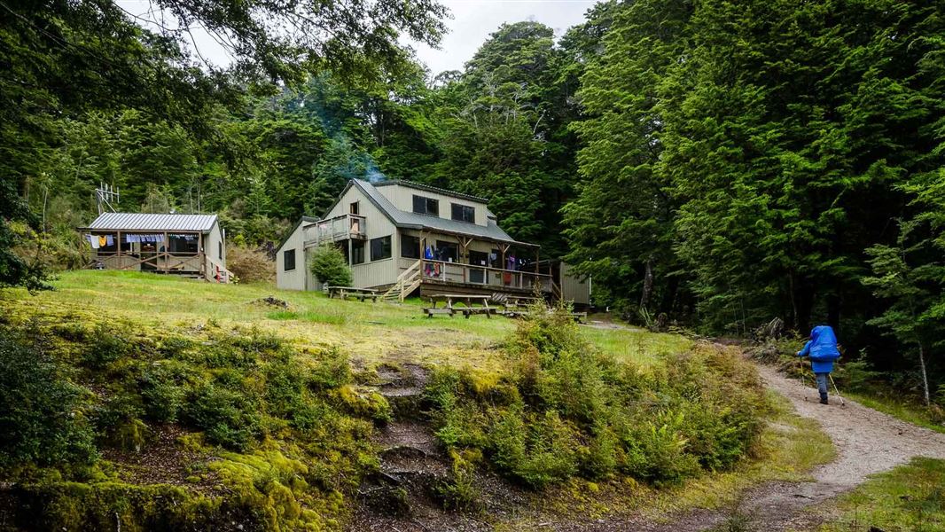
Moturau Hut
Great Walk • 40 bunks • Southland • 12.2 km
Moturau Hut is a 40 bunk Great Walk hut located on the Kepler Track in Fiordland. Bookings are required during the Great Walks season.
Cooking • Heating • Mattresses

North Borland Hut
Basic/bivvies • 2 bunks • Southland • 13.1 km
North Borland Hut is a basic two-bunk hut located in southern Fiordland.
Toilets - non-flush • Water from stream • Water supply
Walks nearby
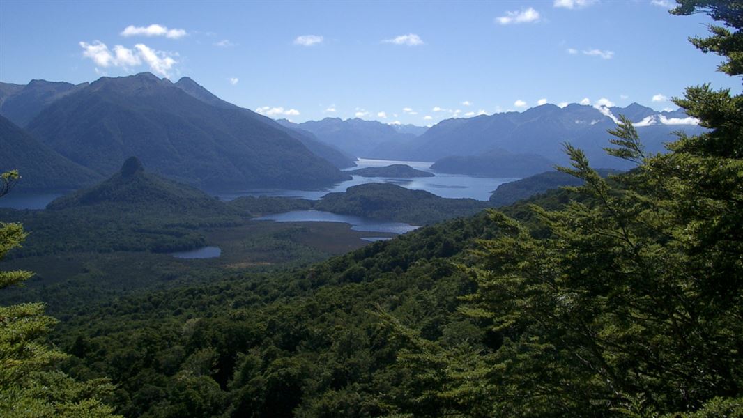
Pearl Harbour return via Circle Track
Advanced • 3 - 3.5 hr return • 6.9 km • 2.17 km away
Monument Track
Advanced • 1.5 - 2 hr return • 1 km • 3.44 km away
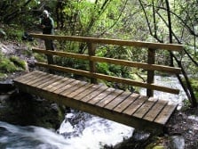
Stockyard Cove Track
Easy • 45 min - 1 hr return • 1.5 km • 8.61 km away
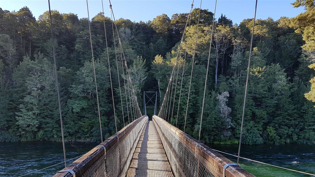
Kepler Track: Rainbow Reach to Shallow Bay or Moturau Hut
Intermediate • 3 - 3 hr 30 min return • 12 km • 12.82 km away
Notes from people who have been
No notes yet. If you have been, say what you found.
Something missing or out of date?
Closed, moved, wrong facts, or something we have missed? Travellers keep the Road Guide up to date. Tell us what you found at contribute@parkup.nz and we will check it and add it.
Ask us to take this down
A person reads every request. We do not remove a place until we have checked it.
Sources
- DOC Tracks (API) · CC BY 4.0Crown Copyright: Department of Conservation Te Papa Atawhai. Data sourced from the DOC Developer Portal (api.doc.govt.nz).
- OpenStreetMap Trails · ODbL (Open Database License)Contains information from OpenStreetMap, made available under the ODbL.