Monument Track
WalkSouthlandOpen
- Grade
- Advanced
- Walking time
- 2 hr
- Distance
- 1 km
- Route
- Return
- Dogs
- No dogs
Getting there
We have not checked a road end or car park for this place yet, so we do not give driving directions to it. Check how to get there before you go. Some routes cross private land and need the landowner's permission.
How to get there, on doc.govt.nzThis track starts and finishes in Hope Arm on Lake Manapouri, Fiordland, 2 km north of the Hope Arm Hut.
To get to the start of the track you can travel by boat or kayak.
To get to Manapouri from Te Anau (21 km, 20 minutes drive), follow the Manapouri - Te Anau Highway.
The wharf at Pearl Harbour is 500 m past the shops on Waiau St, and the carpark is accessed from View St (left turn south of shops).
Source: DOC Te Papa Atawhai.
Map
Map data © OpenStreetMap contributors. Topo map: LINZ, CC BY 4.0. 45.57482° S, 167.54248° E
About this place
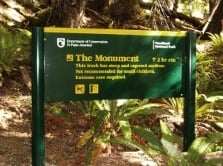
This is a short but challenging tramping track from Hope Arm in Lake Manapouri up to the summit of The Monument, with great lake views in good weather.
The route
From the beach track marker, it is a short but challenging 290 metre climb to The Monument summit, through forest onto the ridge then above bushline. Extreme caution is advised as there are exposed sections with crumbling rock and narrow ledges. At one point there is a chain anchored into the rock to help you. From the top there are spectacular views of Lake Manapouri and the surrounding mountains.
Source: DOC Te Papa Atawhai.
Nearby stops

Hope Arm Hut
Standard • 12 bunks • Southland • 1.7 km
Hope Arm Hut is a standard 12-bunk hut located in eastern Fiordland.
Heating • Mattresses • Toilets - non-flush

Back Valley Hut
Basic/bivvies • 4 bunks • Southland • 4.2 km
Back Valley Hut is a basic four-bunk hut located in eastern Fiordland.
Heating • Mattresses • Toilets - non-flush
Possum Lodge
Southland • 4.9 km
Manapouri Motel and Holiday Park
Southland • 6.3 km

Shallow Bay Hut
Standard • 6 bunks • Southland • 10.6 km
Shallow Bay Hut is a standard six-bunk hut located in eastern Fiordland.
Heating • Mattresses • Toilets - non-flush
Walks nearby
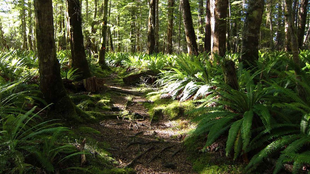
Pearl Harbour to Back Valley Hut Track
Advanced • 4-5 hr return to hut • 7.8 km (approx.) • 3.44 km away
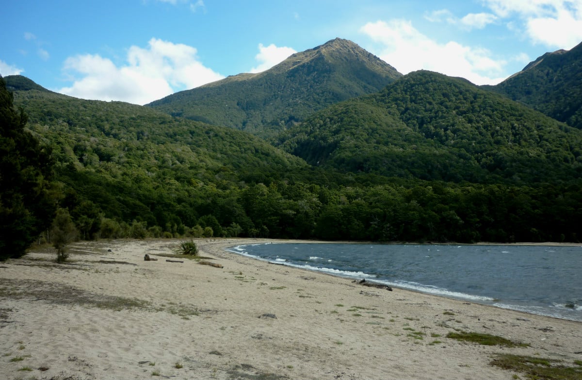
Pearl Harbour to Hope Arm Track
Advanced • 4-6 hr return • 7.8 km • 3.49 km away
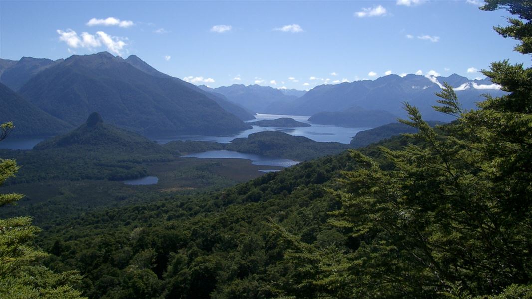
Pearl Harbour return via Circle Track
Advanced • 3 - 3.5 hr return • 6.9 km • 4.62 km away
Stockyard Cove Track
Easy • 45 min - 1 hr return • 1.5 km • 5.24 km away
Kepler Track: Rainbow Reach to Shallow Bay or Moturau Hut
Intermediate • 3 - 3 hr 30 min return • 12 km • 13.43 km away
Notes from people who have been
No notes yet. If you have been, say what you found.
Something missing or out of date?
Closed, moved, wrong facts, or something we have missed? Travellers keep the Road Guide up to date. Tell us what you found at contribute@parkup.nz and we will check it and add it.
Ask us to take this down
A person reads every request. We do not remove a place until we have checked it.
Sources
- OpenStreetMap Trails · ODbL (Open Database License)Contains information from OpenStreetMap, made available under the ODbL.
- DOC Tracks & Trails · CC BY 4.0Data sourced from the Department of Conservation (DOC), New Zealand.
- DOC Tracks (API) · CC BY 4.0Crown Copyright: Department of Conservation Te Papa Atawhai. Data sourced from the DOC Developer Portal (api.doc.govt.nz).