Pavilion Peak Track
WalkCanterbury
- Grade
- Advanced
- Walking time
- 10 hr
- Distance
- 32 km
- Biking time
- 6 - 8 hr
- Dogs
- No dogs
Getting there
We have not checked a road end or car park for this place yet, so we do not give driving directions to it. Check how to get there before you go. Some routes cross private land and need the landowner's permission.
How to get there, on doc.govt.nzMap
Map data © OpenStreetMap contributors. Topo map: LINZ, CC BY 4.0. 44.46275° S, 169.63970° E
About this place
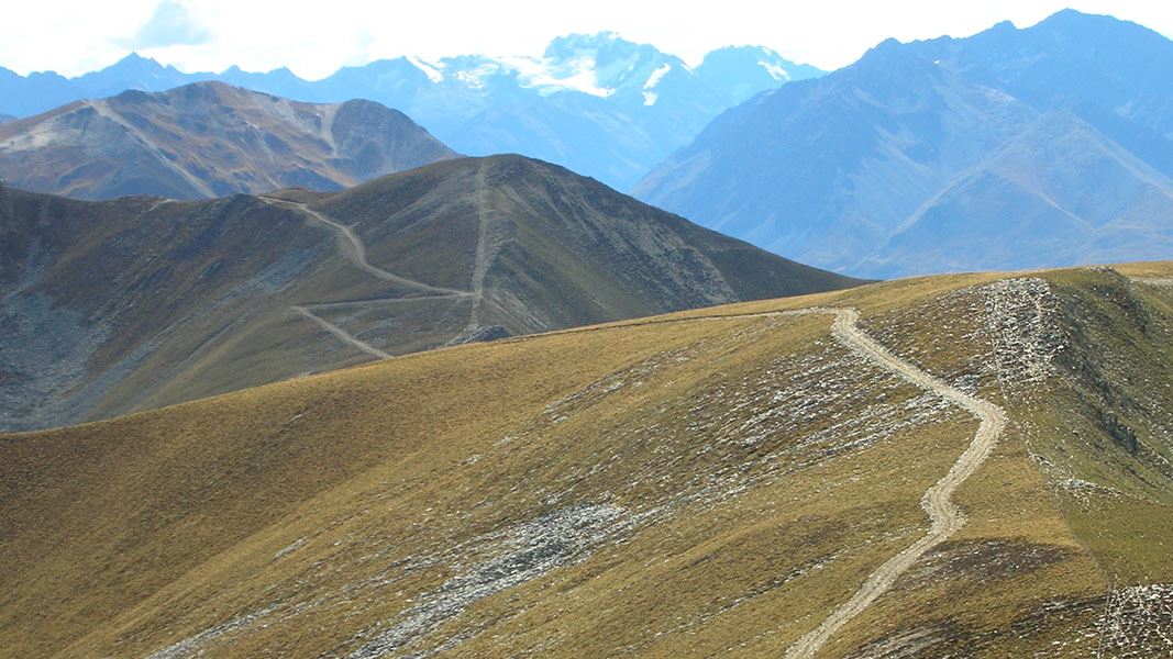
This track traverses a range in the Lindis Conservation Area.
The route
Another track good for long distance runners. It is a steep climb up Pavilion Peak from the Avon Burn valley. An undulating ridge provides great views as you travel along to Dromedary Peak. Trampers will need a pick up at the exit point on SH8 north of Lindis Pass (near Dalrachney Road Bridge). Pavilion Peak Track on western side of Pavilion Peak (1632 m)
Mountain biking
This track is a better ride if you start from SH8 and exit down the Avon Burn valley. The western side of Pavilion Peak is steep so makes an ideal descent on a bike. This is a shared-use track. Follow the mountain bikers code : respect others, respect the rules, respect the track.
Source: DOC Te Papa Atawhai.
Nearby stops
Tin Hut
5 bunks • Canterbury • 4.2 km
Tin Hut is a basic shelter located in the Canterbury region of New Zealand. It provides a simple place to stay for outdoor enthusiasts in the area.
Burnt Bush Hut
Otago • 7.9 km
Burnt Bush Hut is a backcountry hut located in the Otago region of New Zealand. The available records provide no further details regarding its specific…
Freedom Camping spot
Canterbury • 9.3 km
This freedom camping spot is located in the Canterbury region. No specific facilities or additional details are provided in the available records.
wild camp area
Canterbury • 10.5 km
This wild camp area is located in the Canterbury region. It provides a basic spot for overnight stays in the outdoors.
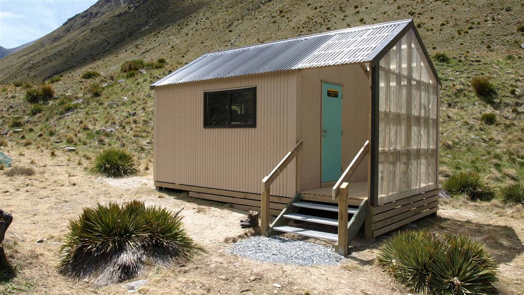
Top Tīmaru Hut
Standard • 6 bunks • Otago • 11 km
Top Tīmaru Hut is a standard six-bunk hut located in the Wānaka/Makarora area of Otago.
Mattresses • Toilets - non-flush • Water from stream
Walks nearby
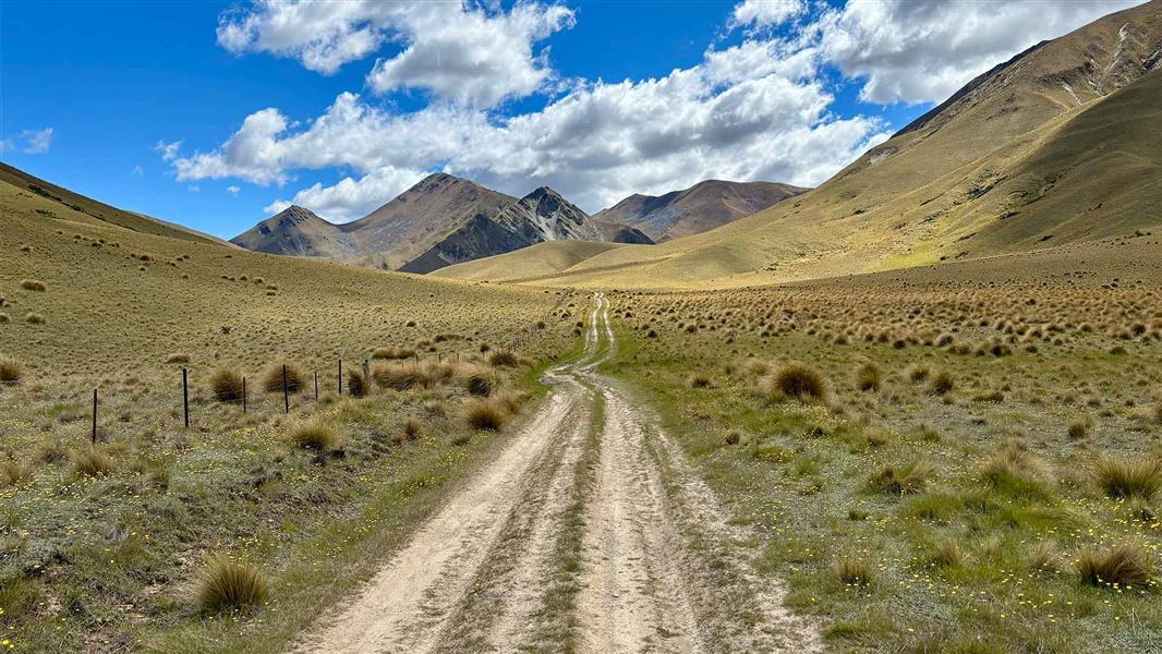
Melina Ridge Track
Advanced • 8 - 10 hr • 35 km • 4.23 km away
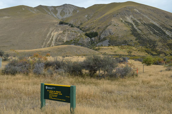
Ben Avon access route
Expert • 30 min • 500 m • 6.43 km away
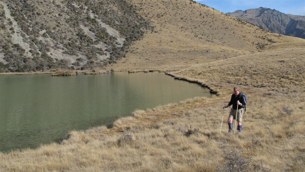
Hideaway Hut Route
Expert • 2 hr one way • 6 km • 6.51 km away
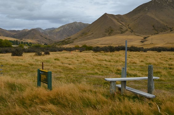
Birch Creek access route
Expert • 1 hr one way • 2 km • 9.44 km away
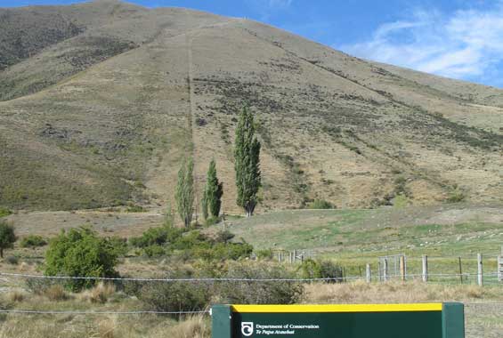
Wether Range tracks
Expert • 1.5-2 hr one way • 3 or 6.5 km • 12.53 km away
Notes from people who have been
No notes yet. If you have been, say what you found.
Something missing or out of date?
Closed, moved, wrong facts, or something we have missed? Travellers keep the Road Guide up to date. Tell us what you found at contribute@parkup.nz and we will check it and add it.
Ask us to take this down
A person reads every request. We do not remove a place until we have checked it.
Sources
- DOC Tracks (API) · CC BY 4.0Crown Copyright: Department of Conservation Te Papa Atawhai. Data sourced from the DOC Developer Portal (api.doc.govt.nz).