Nicholsons Hut
Basic/bivvies hutKopuwai Conservation Area, OtagoOpen
- Sleeps
- 5 bunks
- Booking
- Not bookable
- Heating
- None
- Drinking water
- Not drinkable
- Toilet
- Non-flush
Getting there
We have not checked a road end or car park for this place yet, so we do not give driving directions to it. Check how to get there before you go. Some routes cross private land and need the landowner's permission.
How to get there, on doc.govt.nz- Topo map
- Topo50 sheet CD31
- Grid reference
- E1301194, N4970729
Source: DOC Te Papa Atawhai.
Map and tracks
Track lines: DOC Te Papa Atawhai. Map data © OpenStreetMap contributors. Topo map: LINZ, CC BY 4.0. 45.35295° S, 169.18613° E
About this place
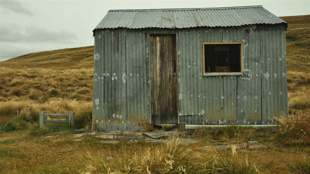
This is a basic five-bunk hut in the Central Otago area.
On the way here
Nicholsons Track · 1 hr 30 min return
Nicholsons Track is a high altitude steep track starting at 1600 m before dropping down to Nicholsons Hut at 1400 m. Near the hut the remains of the gold mining days can be seen in the water races and rock tailings. The hut sits beside a small stream that drains from a wetland catchment. You can explore the historic features from the gold mining era along Fraser River and the many wetland plants. For people with alpine snow experience, this area offers great ski touring, snow shoeing, and kite skiing opportunities. More about snow experiences in Kopuwai Conservation Area .
Source: DOC Te Papa Atawhai.
Fees and bookings
Free
Source: DOC Te Papa Atawhai.
Nearby stops
Boundary Hut
Basic/bivvies • 3 bunks • Otago • 4.1 km
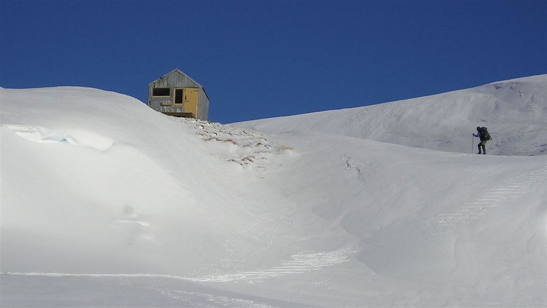
Boundary Hut is a basic three-bunk hut located in the Central Otago area.
Mattresses • Toilets - non-flush • Water from stream
Diggers Hut
Southland • 6.8 km
Potters Huts
Southland • 8.8 km
Potters Huts is a backcountry hut located in the Southland region of New Zealand. The available records provide no further details regarding its specific…
Whites Hut
Otago • 10.7 km
Whites Hut is a backcountry hut located in the Otago region of New Zealand. The provided records do not include specific details regarding its facilities,…
Old stone hut
Otago • 11 km
Old stone hut is a basic shelter located in the Otago region. It is a simple structure suitable for overnight stays in the backcountry.
Walks nearby
Obelisk Loop Track
Advanced • 3 hr 30 min loop • 10 km • 4.44 km away
Kopuwai Track to Sisters Track
Advanced • 2 hr 30 min one way • 8 km • 6.33 km away
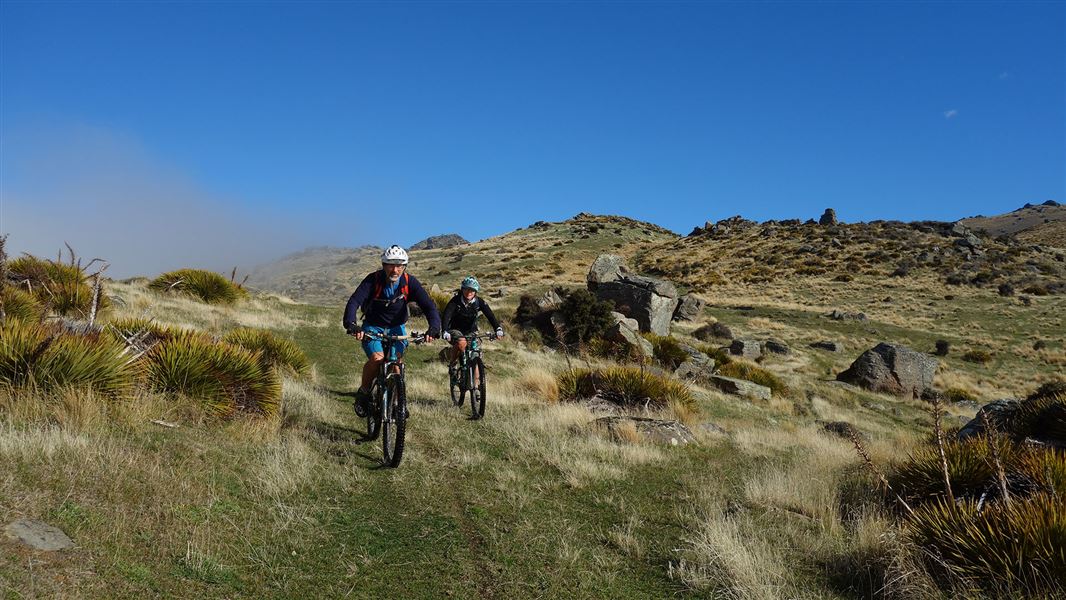
Omeo Gully Track
Advanced • 6 hr • 19 km • 10.37 km away
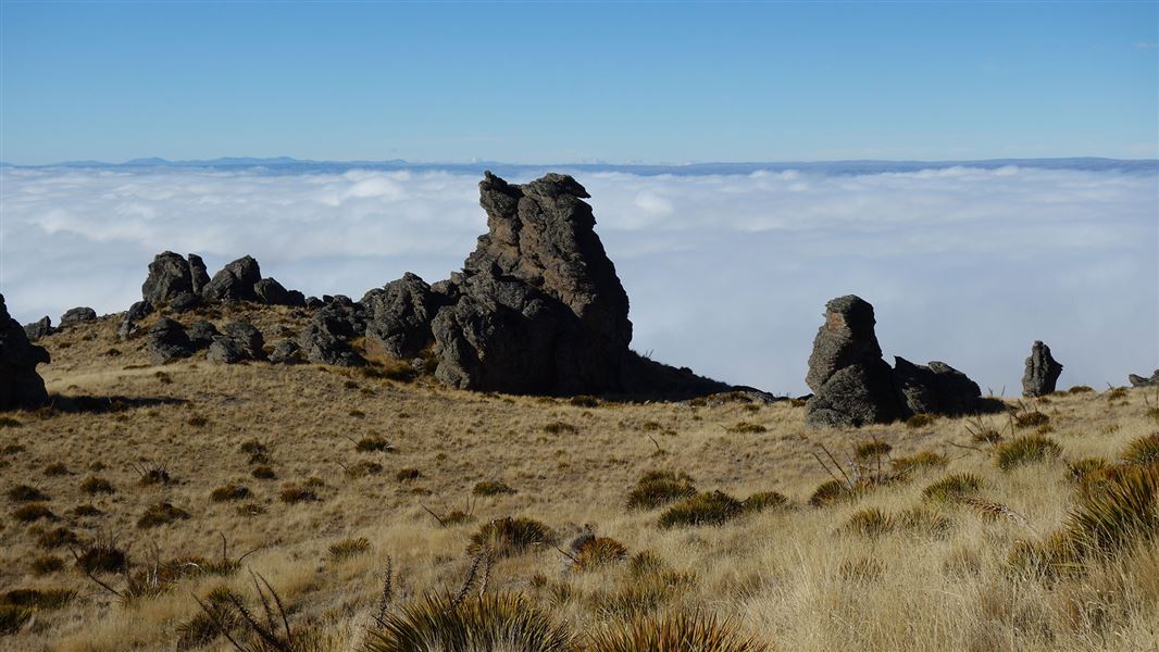
Prospect Hill Track
Advanced • 6–8 hr return • 20 km • 11.23 km away
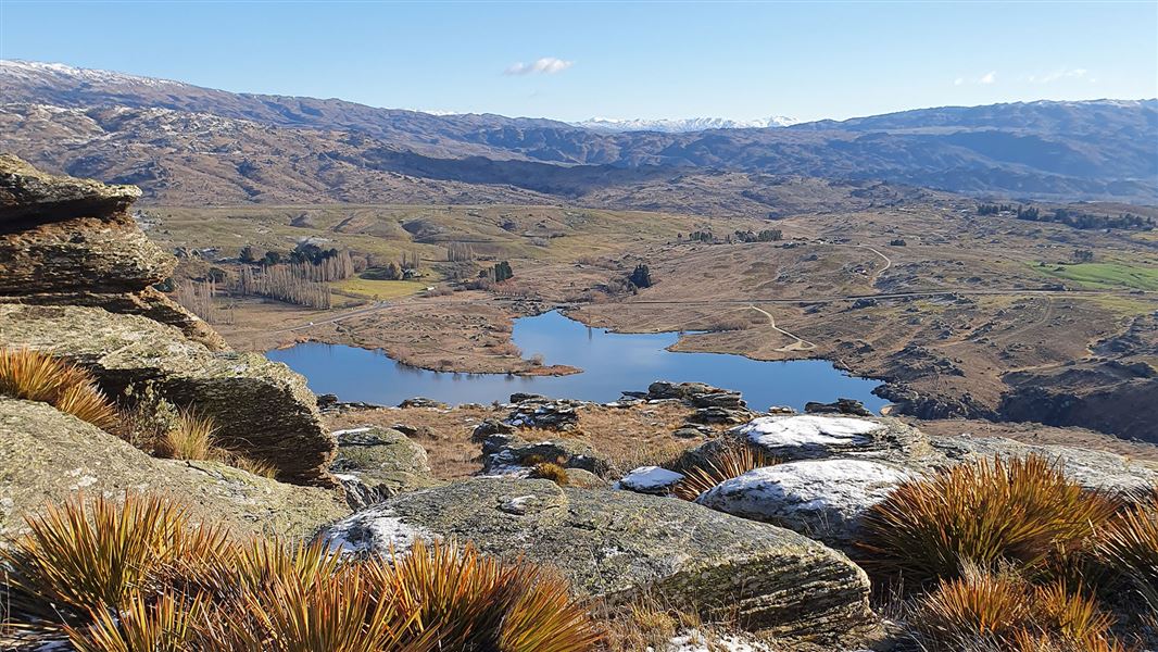
Flat Top Hill Tramping Track
Advanced • 2 – 3 hr • 6 km • 12.53 km away
Contact
Wānaka Tititea/Mount Aspiring National Park
Regional DOC service centre.
Notes from people who have been
No notes yet. If you have been, say what you found.
Something missing or out of date?
Closed, moved, wrong facts, or something we have missed? Travellers keep the Road Guide up to date. Tell us what you found at contribute@parkup.nz and we will check it and add it.
Ask us to take this down
A person reads every request. We do not remove a place until we have checked it.
Sources
- DOC Huts · CC BY 4.0Data sourced from the Department of Conservation (DOC), New Zealand.
- DOC Huts (API) · CC BY 4.0Crown Copyright: Department of Conservation Te Papa Atawhai. Data sourced from the DOC Developer Portal (api.doc.govt.nz).
- OpenStreetMap Huts · ODbL (Open Database License)Contains information from OpenStreetMap, made available under the ODbL.