Prospect Hill Track
WalkOtagoOpen
- Grade
- Advanced
- Walking time
- 8 hr
- Distance
- 20 km
- Route
- Return
- Biking time
- 3–4 hrs
- Dogs
- No dogs
Getting there
We have not checked a road end or car park for this place yet, so we do not give driving directions to it. Check how to get there before you go. Some routes cross private land and need the landowner's permission.
How to get there, on doc.govt.nzMap
Map data © OpenStreetMap contributors. Topo map: LINZ, CC BY 4.0. 45.25417° S, 169.21628° E
About this place
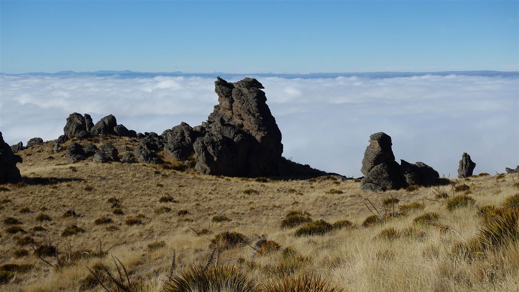
From this track on a clear day you can see the Manuherikia basin, the Old Woman, Dunstan and Raggedy ranges.
The route
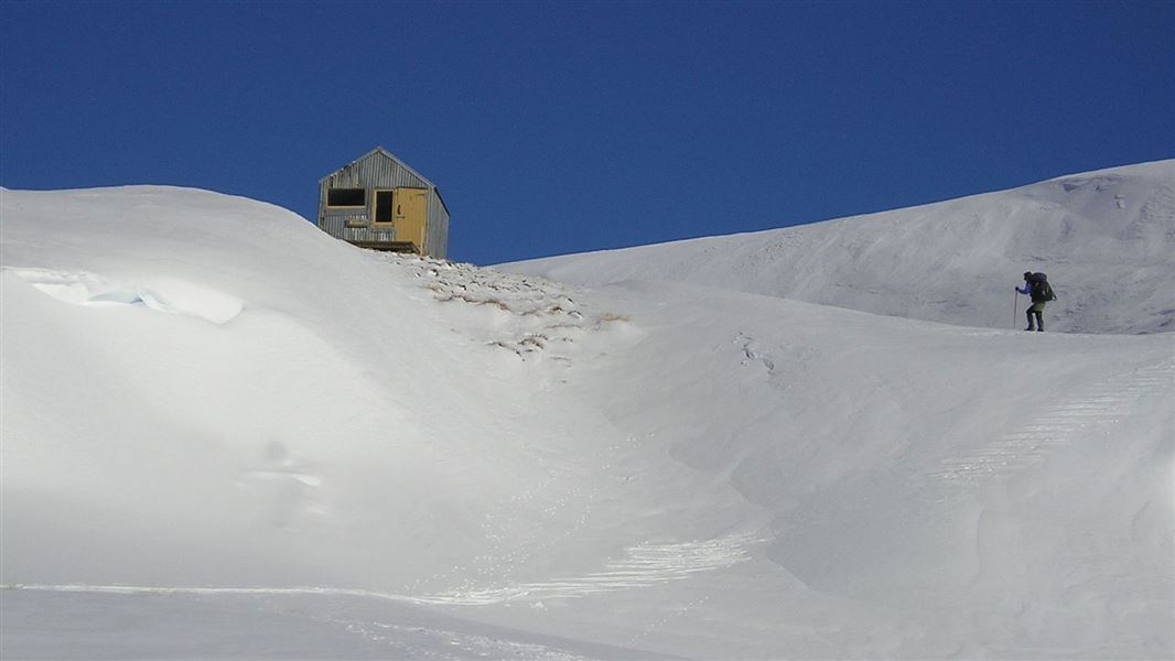
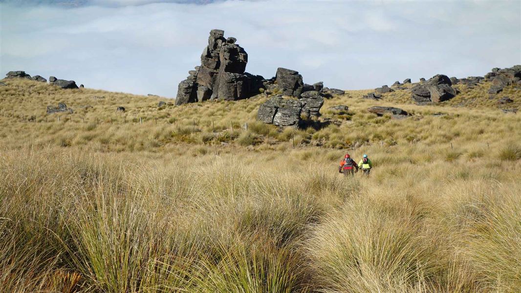
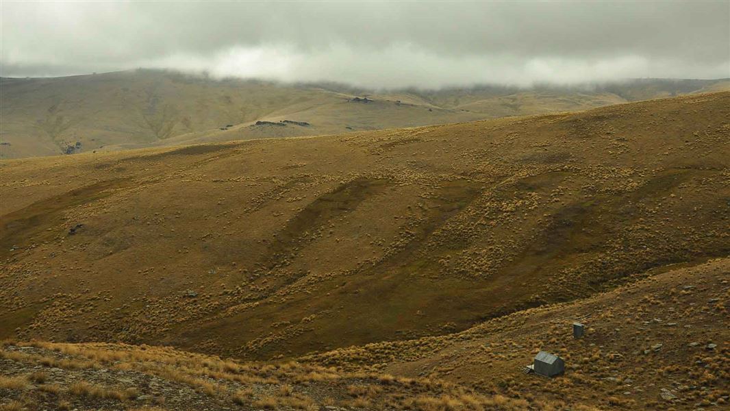
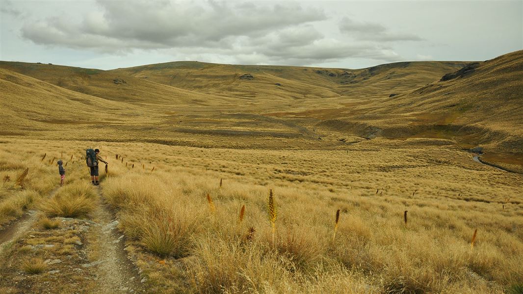
Prospect Hill Track travels through unique landscape, from the foot of the mighty Old Man Range to the top. This 1000 m climb starts through farmland and becomes alpine herb fields as you reach the conservation area. There are fantastic views of Alexandra and the Obelisk while climbing up. The Obelisk is a large rock tor known as Kopuwai , that is the highest point on the Old Man Range. The end of this track links up to the Obelisk Loop Track . Using the Obelisk Loop Track you can walk down via Omeo Gully Track or continue onto other tracks on the top of the Kopuwai Conservation Area. This track intersects with The Sisters Track . A stream running through the intersection is a welcome stop on a hot day. A private hut belonging to Earncleugh Station is also near the stream. In winter, this track provides people with winter alpine skills access to The Sisters Track for back country skiing. This track is an easement through private land.
Mountain biking
The Prospect Hill Track is a more gradual climb than the Omeo Gully Track and fit riders will be able to bike most of it.
Source: DOC Te Papa Atawhai.
Nearby stops
Whites Hut
Otago • 6.5 km
Whites Hut is a backcountry hut located in the Otago region of New Zealand. The provided records do not include specific details regarding its facilities,…
Boundary Hut
Basic/bivvies • 3 bunks • Otago • 10.1 km
Boundary Hut is a basic three-bunk hut located in the Central Otago area.
Mattresses • Toilets - non-flush • Water from stream
Clyde Holiday Park
Otago • 10.6 km
Clyde Holiday Park is a campsite located in the Otago region of New Zealand. The provided data does not list specific facilities or amenities for this site.
Burton Creek Recreation Reserve
Otago • 11 km
Burton Creek Recreation Reserve
Otago • 11.1 km
Walks nearby
Shek Harn Historic Reserve Track
Easy • 1 hr 30 min return • 4 km • 2.8 km away
Omeo Gully Track
Advanced • 6 hr • 19 km • 3.94 km away
Obelisk Loop Track
Advanced • 3 hr 30 min loop • 10 km • 6.92 km away
Kopuwai Track to Sisters Track
Advanced • 2 hr 30 min one way • 8 km • 8.58 km away
Nicholsons Track
Advanced • 1 hr 30 min return • 6 km • 10.31 km away
Notes from people who have been
No notes yet. If you have been, say what you found.
Something missing or out of date?
Closed, moved, wrong facts, or something we have missed? Travellers keep the Road Guide up to date. Tell us what you found at contribute@parkup.nz and we will check it and add it.
Ask us to take this down
A person reads every request. We do not remove a place until we have checked it.
Sources
- DOC Tracks (API) · CC BY 4.0Crown Copyright: Department of Conservation Te Papa Atawhai. Data sourced from the DOC Developer Portal (api.doc.govt.nz).
- DOC Tracks & Trails · CC BY 4.0Data sourced from the Department of Conservation (DOC), New Zealand.