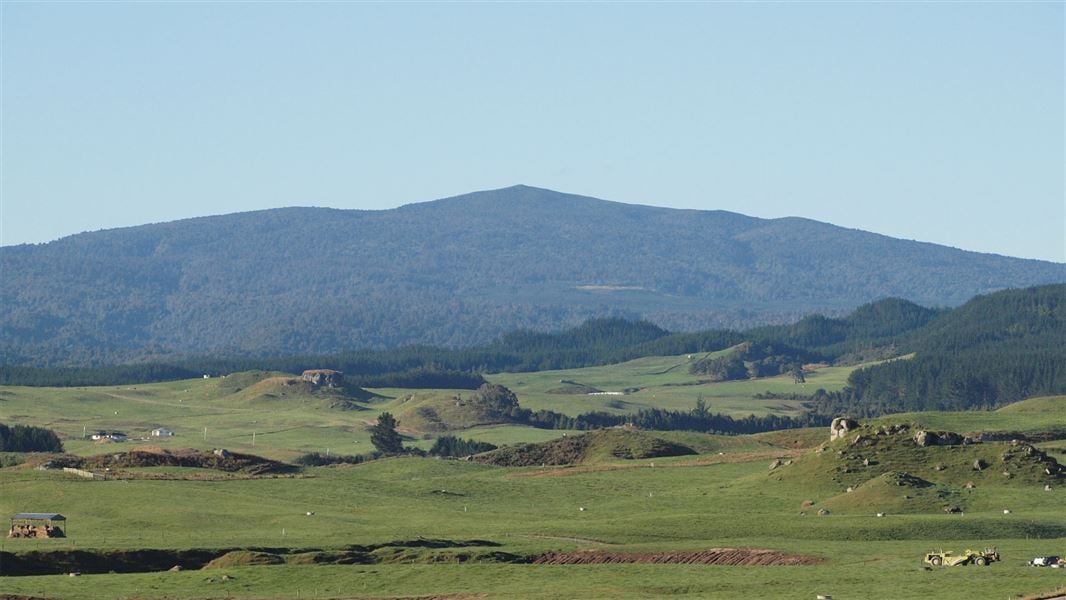
Mount Pureora from Link Road
WalkWaikato
- Grade
- Easy
- Walking time
- 2 hr 30 min
- Distance
- 2.6 km one way
- Dogs
- DOC permit only
Getting there
We have not checked a road end or car park for this place yet, so we do not give driving directions to it. Check how to get there before you go. Some routes cross private land and need the landowner's permission.
How to get there, on doc.govt.nzFrom SH30, turn onto Maraeroa Road, then Barryville Road, then Link Road. The start of the track is about 14 km along Link Road.
The carpark is on the opposite side of the road to the track entrance. Note, the track on the same side as the car park is a different track.
Source: DOC Te Papa Atawhai.
Map
Map data © OpenStreetMap contributors. Topo map: LINZ, CC BY 4.0. 38.54234° S, 175.63356° E
About this place
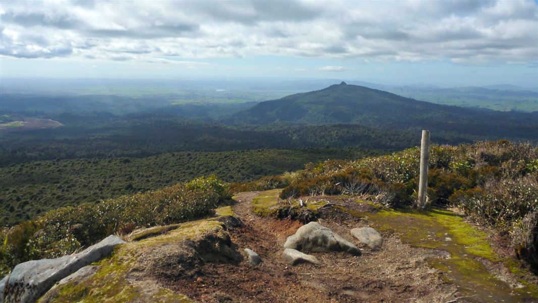
On a clear day, enjoy views across Lake Taupo, the Mamaku Ranges, Mount Taranaki and Mount Ruapehu from the summit of Mount Pureora.
The route
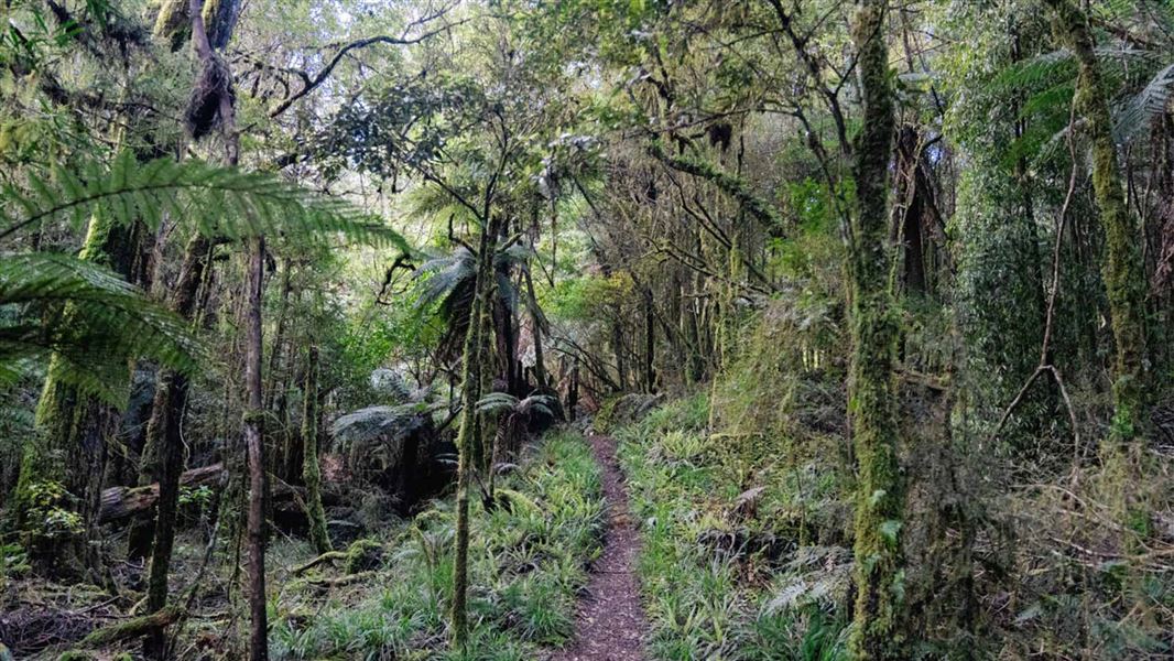
This is the shortest route to the top of Mount Pureora. It's a well maintained track with bridges across all waterways and a boardwalk towards the summit.
Source: DOC Te Papa Atawhai.
Nearby stops
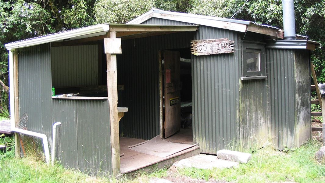
Bog Inn Hut
Standard • 4 bunks • Manawatū-Whanganui • 4.6 km
Bog Inn Hut is a standard four-bunk hut located in the Pureora Forest Park. This small historic shelter offers a rustic overnight stay for trampers and hunters…
Mattresses • Toilets - non-flush • Water from tap - not treated, boil before use
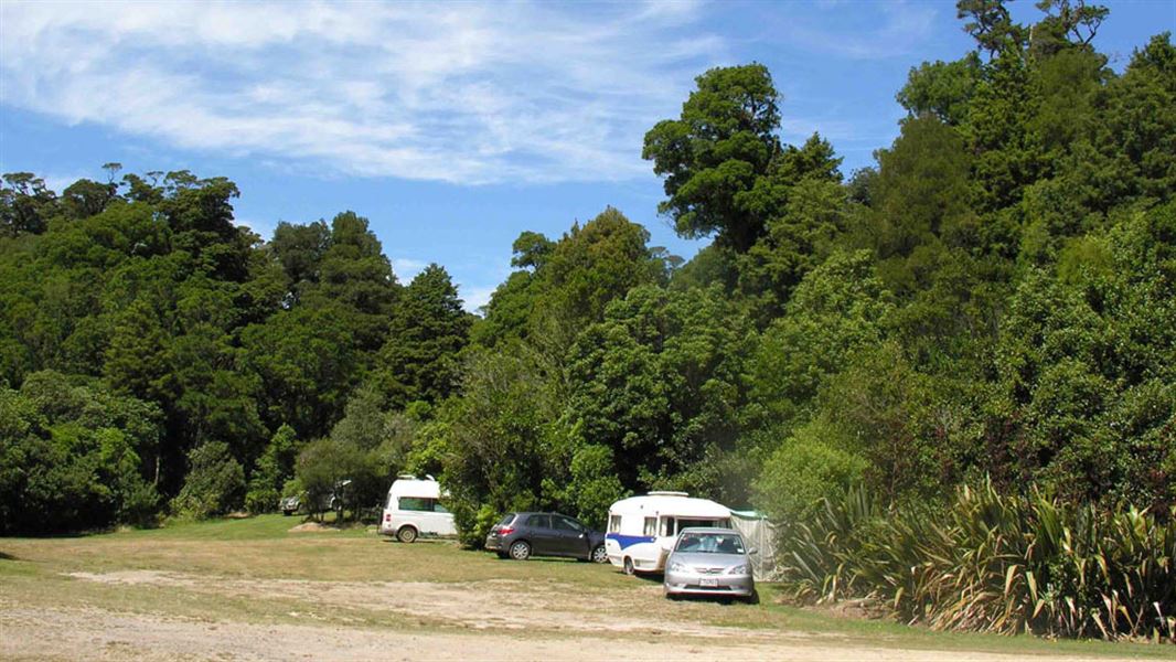
Ngaherenga Campsite
Standard • Manawatū-Whanganui • 7.1 km
Ngaherenga Campsite is located in the Manawatū-Whanganui region and offers a place to camp near a stream beside lush forest. Visitors can look out for native…
BBQ • Fire pit/place for campfires (except in fire bans) • Non-powered/tent sites
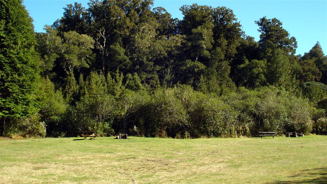
Kakaho Campsite
Standard • Waikato • 7.9 km
Kakaho Campsite is located beside Kakaho Stream and dense podocarp forest in the Waikato region. Visitors can swim in the stream or walk the Rimu Track through…
BBQ • Fire pit/place for campfires (except in fire bans) • Non-powered/tent sites

Piropiro Campsite
Basic • Manawatū-Whanganui • 16 km
Piropiro Campsite is a basic campsite in the Waitomo/Pureora area. It offers a starting point for exploring nearby forest roads by car or mountain bike.
Fire pit/place for campfires (except in fire bans) • Non-powered/tent sites • Water from stream
Camp Epic
Manawatū-Whanganui • 16.4 km
Camp Epic is a campsite located in the Manawatū-Whanganui region. No further details about facilities or amenities are available in the provided records.
Walks nearby
Notes from people who have been
No notes yet. If you have been, say what you found.
Something missing or out of date?
Closed, moved, wrong facts, or something we have missed? Travellers keep the Road Guide up to date. Tell us what you found at contribute@parkup.nz and we will check it and add it.
Ask us to take this down
A person reads every request. We do not remove a place until we have checked it.
Sources
- DOC Tracks (API) · CC BY 4.0Crown Copyright: Department of Conservation Te Papa Atawhai. Data sourced from the DOC Developer Portal (api.doc.govt.nz).