Hauhungaroa Track
WalkManawatū-Whanganui
- Grade
- Advanced
- Walking time
- 3 days
- Distance
- 45 km
- Dogs
- DOC permit only
Getting there
We have not checked a road end or car park for this place yet, so we do not give driving directions to it. Check how to get there before you go. Some routes cross private land and need the landowner's permission.
How to get there, on doc.govt.nzThe track starts from Link Road. From SH30, turn onto Maraeroa Road, then Barryville Road, then Link Road. The start of the track is about 14 km along Link Road. The carpark is on the opposite side of the road to the track entrance. Note, the track on the same side as the car park is a different track.
Source: DOC Te Papa Atawhai.
Map
Map data © OpenStreetMap contributors. Topo map: LINZ, CC BY 4.0. 38.60560° S, 175.62037° E
About this place
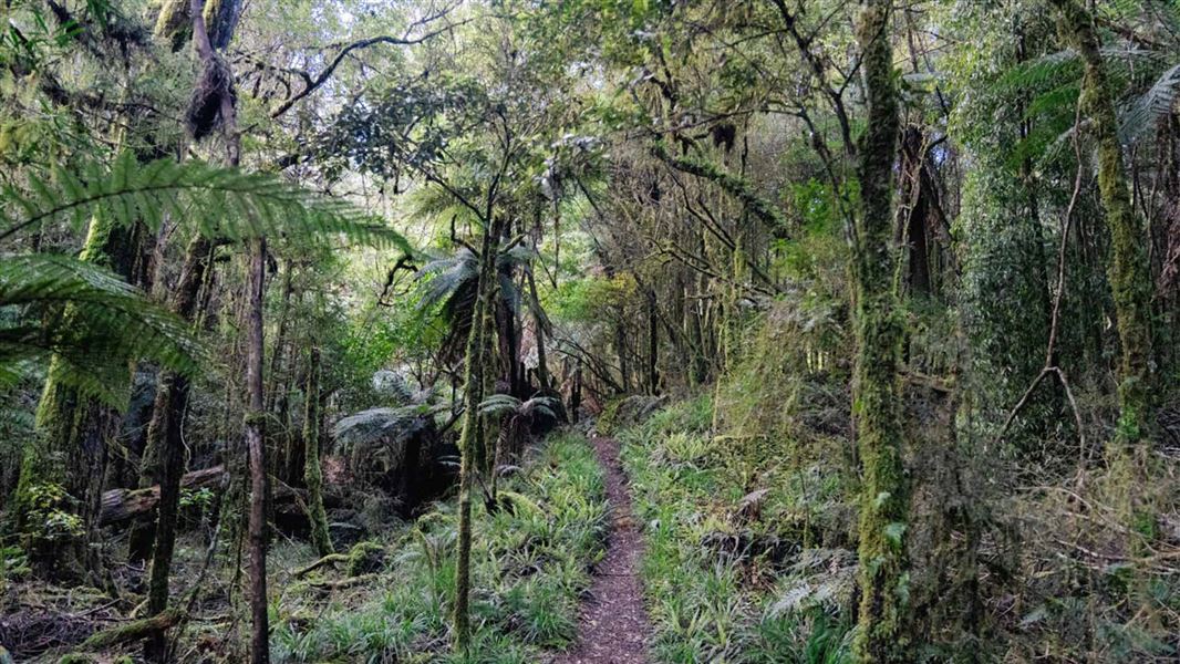
Traverse the Hauhungaroa Range.
The route
Link Road to Bog Inn Hut
Time: 3 hr 30 min
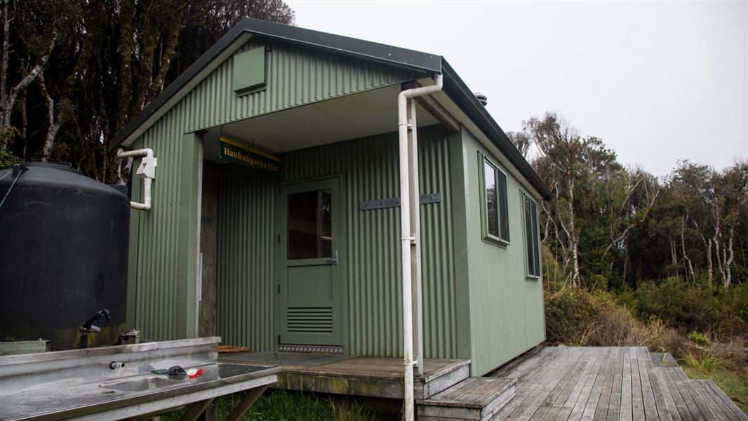
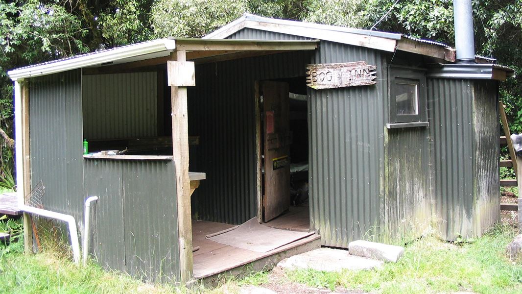
Follow the track to Mt Pureora from Link Road before dropping down a southern ridge of the mountain to Bog Inn Hut.
Bog Inn Hut to Waihaha Hut
Time: 8 hr 30 min
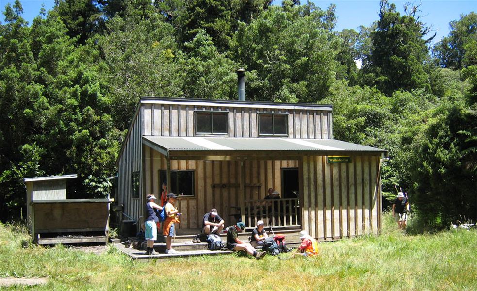
After skirting the bog, climb the ridge to Mt Weraroa (3 hr), turn east and drop steeply to the Waihora Track junction (1 hr 30 min). The track continues onto the Waihaha Hut (4 hr).
Waihaha Hut to Hauhungaroa Hut
Time: 7 hr
Continue upstream from the Waihaha Hut on the true left of the Waihaha River. Just to the south of Te Awaiti Stream, the track turns southwest and climbs the ridge onto the crest of the Hauhungaroa Range. Follow the crest south and the track continues to the Hauhungaroa Hut.
Hauhungaroa Hut to Mangakahu Valley Road
Time: 2 hr 30 min
From the Hauhungaroa Hut continue following the crest south past Mt Motere before dropping down to the head of the Mangakahu Valley and the road end.
Source: DOC Te Papa Atawhai.
On this track
In walking order.
Nearby stops
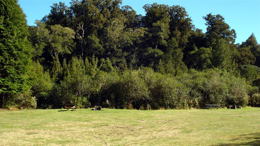
Kakaho Campsite
Standard • Waikato • 9.4 km
Kakaho Campsite is located beside Kakaho Stream and dense podocarp forest in the Waikato region. Visitors can swim in the stream or walk the Rimu Track through…
BBQ • Fire pit/place for campfires (except in fire bans) • Non-powered/tent sites
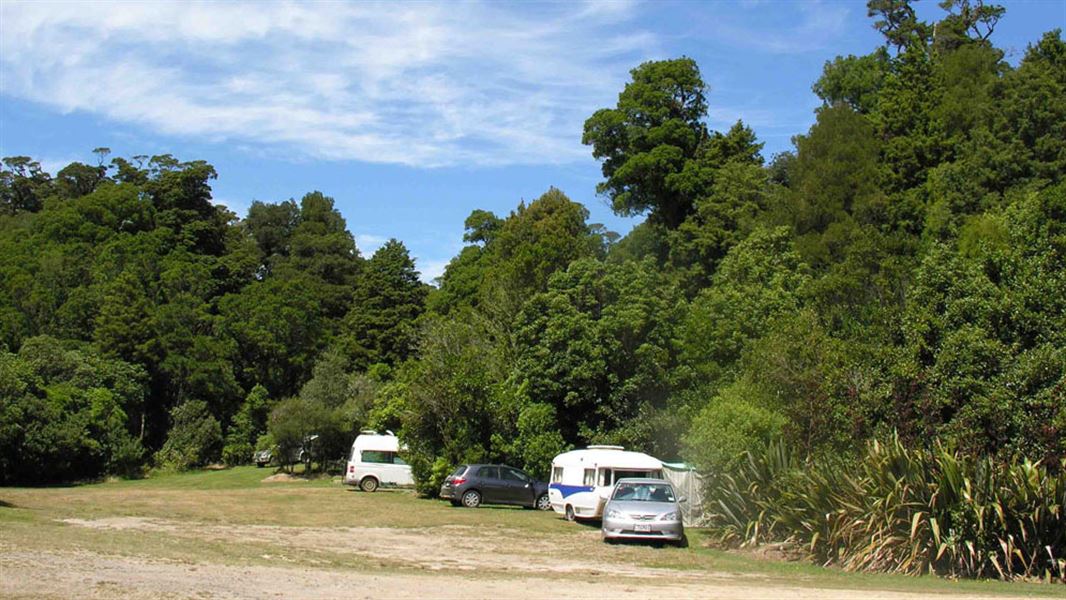
Ngaherenga Campsite
Standard • Manawatū-Whanganui • 11.6 km
Ngaherenga Campsite is located in the Manawatū-Whanganui region and offers a place to camp near a stream beside lush forest. Visitors can look out for native…
BBQ • Fire pit/place for campfires (except in fire bans) • Non-powered/tent sites
Camp Epic
Manawatū-Whanganui • 11.7 km
Camp Epic is a campsite located in the Manawatū-Whanganui region. No further details about facilities or amenities are available in the provided records.

Piropiro Campsite
Basic • Manawatū-Whanganui • 11.7 km
Piropiro Campsite is a basic campsite in the Waitomo/Pureora area. It offers a starting point for exploring nearby forest roads by car or mountain bike.
Fire pit/place for campfires (except in fire bans) • Non-powered/tent sites • Water from stream
Walks nearby
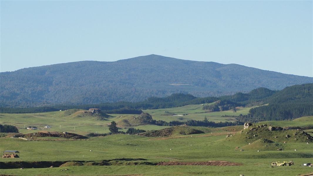
Mount Pureora via Toitoi Track
Advanced • 5 hr return • 5.8 km • 6.24 km away
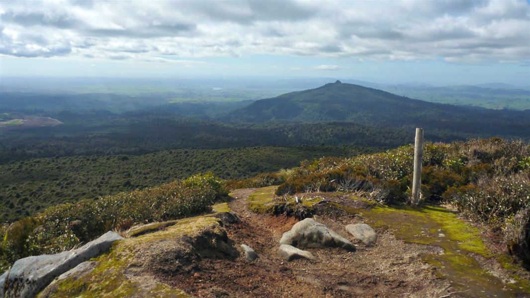
Mount Pureora from Link Road
Easy • 2 hr 30 min one way • 2.6 km one way • 7.13 km away
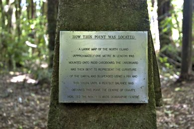
Centre of the North Island Walk
Easiest • 10 min • 500 m • 10.01 km away
Ketemaringi Route
Expert • 5 hr • 10.7 km • 10.04 km away
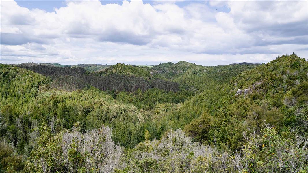
Waihāhā Hut Track
Intermediate • 3 hr one way • 9.4 km • 10.3 km away
Notes from people who have been
No notes yet. If you have been, say what you found.
Something missing or out of date?
Closed, moved, wrong facts, or something we have missed? Travellers keep the Road Guide up to date. Tell us what you found at contribute@parkup.nz and we will check it and add it.
Ask us to take this down
A person reads every request. We do not remove a place until we have checked it.
Sources
- DOC Tracks (API) · CC BY 4.0Crown Copyright: Department of Conservation Te Papa Atawhai. Data sourced from the DOC Developer Portal (api.doc.govt.nz).