Moki Track
WalkTaranaki
- Grade
- Advanced
- Walking time
- 8 hr
- Distance
- 18 km
- Dogs
- DOC permit only
Access: read before you go
Dogs are prohibited except where authorisation has been granted by DOC. People wishing to take a dog into this area need to get a permit from the local DOC office and have a current kiwi aversion certificate. Avian awareness and avoidance training To take dogs across private property, or tracks crossing farmland, you must get permission from the landowner.
Source: DOC Te Papa Atawhai.
Getting there
We have not checked a road end or car park for this place yet, so we do not give driving directions to it. Check how to get there before you go. Some routes cross private land and need the landowner's permission.
How to get there, on doc.govt.nzThis track is located 65 km north of New Plymouth via Uruti Road. It links the eastern and western ends of the unformed Moki Road.
More detailed information about the area can be found on map NZTopo50 sheet BH31.
Source: DOC Te Papa Atawhai.
Map
Map data © OpenStreetMap contributors. Topo map: LINZ, CC BY 4.0. 38.97578° S, 174.68215° E
About this place
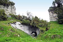
The track was developed with wheelbarrows, picks and shovels as early as 1910. Both ends of the track pass through some 3 km of farmland before entering the forest, which contains good stands of tawa, kamahi and rimu.
The route
Access to the western end of the track is from the north side of Moki Road/Waitara River bridge. The eastern end of the track starts at the end of the formed Moki Road, south of the airstrip on farmland. Gates should be left as found and stock undisturbed. The track goes through Makino Conservation Area, generally following the south bank of the upper Waitara River. The track began as a surveyed road alignment that was to be developed to service the rehabilitation farms of soldiers after the First World War. Three farms were established in the valley; the remains of two homesteads can be seen along the eastern end of the track. Land that was cleared is now regenerating. The track follows generally easy grades and is levelled along most of its 18 km length. This work was done with wheelbarrows, picks and shovels as early as 1910. The terrain is rough and suspension bridges cross five of the deeper chasms. Expect mud. Both ends of the track pass through some 3 km of farmland before entering the forest, which contains good stands of tawa, kamahi and rimu. A return trip is necessary, unless prior transport arrangements have been made.
Source: DOC Te Papa Atawhai.
Know before you go
Dogs
Dogs are prohibited except where authorisation has been granted by DOC. People wishing to take a dog into this area need to get a permit from the local DOC office and have a current kiwi aversion certificate. Avian awareness and avoidance training To take dogs across private property, or tracks crossing farmland, you must get permission from the landowner.
Source: DOC Te Papa Atawhai.
Nearby stops

Rerekapa Hut
Basic/bivvies • 14 bunks • Taranaki • 5.7 km
Rerekapa Hut is a public hut in the Taranaki region that is owned and managed by Rerekapa Hut Supporters Incorporated. Access to the hut is available through a…
Te Rerepahupahu Hut
Manawatū-Whanganui • 18.4 km
Te Rerepahupahu Hut is a backcountry shelter located in the Manawatū-Whanganui region. The provided records do not include specific details about its…
Walks nearby
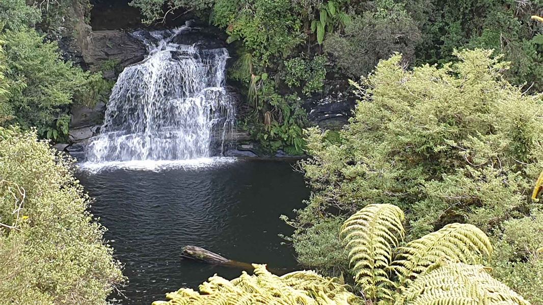
Rerekapa Track
Advanced • 3-4 hr • 5.27 km away
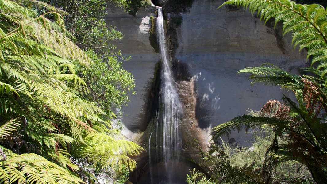
Mount Damper Falls Walk
Easiest • 30 min • 1 km to the falls • 10.62 km away
Mount Messenger to White Cliffs Walkway Track
Advanced • 5 hr 30 min • 13.49 km away
Mount Damper to Te Rerepahupahu Falls track
Advanced • 7 hr 30 min - 9 hr • 14 km to the falls • 14.55 km away
Notes from people who have been
No notes yet. If you have been, say what you found.
Something missing or out of date?
Closed, moved, wrong facts, or something we have missed? Travellers keep the Road Guide up to date. Tell us what you found at contribute@parkup.nz and we will check it and add it.
Ask us to take this down
A person reads every request. We do not remove a place until we have checked it.
Sources
- DOC Tracks (API) · CC BY 4.0Crown Copyright: Department of Conservation Te Papa Atawhai. Data sourced from the DOC Developer Portal (api.doc.govt.nz).