Mimiha Campsite
Basic campsiteLocated in Te Urewera, Bay of PlentyOpen
- Booking
- Not bookable
- Toilet
- Non-flush
Getting there
Adjacent to SH 38 between Te Whaiti and Ruatāhuna.
Road is narrow and winding.
Source: DOC Te Papa Atawhai.
Map
Map data © OpenStreetMap contributors. Topo map: LINZ, CC BY 4.0. 38.64810° S, 176.91894° E
Got a good photo of this place? Send it to us and we will show it with your name.
About this place
This is a basic campsite in the Te Urewera area.
Nearby stops
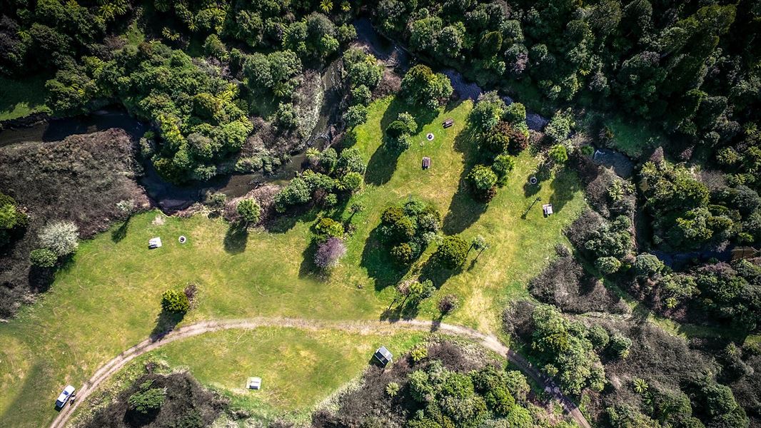
Mid Okahu Road Campsite
Basic • Bay of Plenty • 8.1 km
Mid Okahu Road Campsite offers grass terraces for camping next to Okahu Stream in the Bay of Plenty. The area provides opportunities for picnicking and walking…
Fire pit/place for campfires (except in fire bans) • Non-powered/tent sites • Water from stream
Whakatakaa Hut
Hawke's Bay • 8.7 km
Heating • Mattresses • Toilets - non-flush
Okahu Road campsite
Bay of Plenty • 9.9 km
Okahu Road campsite is a camping area located in the Bay of Plenty region. The provided data does not list specific facilities or amenities for this site.
Kanohirua Hut
6 bunks • Bay of Plenty • 10.4 km
Heating • Toilets - non-flush • Water from stream
Orangihikoia Campsite
Basic • Hawke's Bay • 10.8 km
Orangihikoia Campsite is a remote campsite located north of Te Taita A Makoro campsite in the East Coast region. It offers opportunities for hunting, walking,…
Fire pit/place for campfires (except in fire bans) • Non-powered/tent sites • Water from tap - not treated, boil before use
Contact
Te Urewera Visitor Centre
Te Kura Whenua, 6249 Lake Road/SH38, Waikaremoana 4195, Te Urewera
Regional DOC service centre.
Notes from people who have been
No notes yet. If you have been, say what you found.
Something missing or out of date?
Closed, moved, wrong facts, or something we have missed? Travellers keep the Road Guide up to date. Tell us what you found at contribute@parkup.nz and we will check it and add it.
Ask us to take this down
A person reads every request. We do not remove a place until we have checked it.
Sources
- OpenStreetMap Campsites · ODbL (Open Database License)Contains information from OpenStreetMap, made available under the ODbL.
- DOC Campsites (API) · CC BY 4.0Crown Copyright: Department of Conservation Te Papa Atawhai. Data sourced from the DOC Developer Portal (api.doc.govt.nz).