Maukaatua Route
WalkOtagoOpen
- Grade
- Expert
- Walking time
- 5 hr
- Distance
- 2.7 km
- Route
- Return
- Dogs
- DOC permit only
Getting there
We have not checked a road end or car park for this place yet, so we do not give driving directions to it. Check how to get there before you go. Some routes cross private land and need the landowner's permission.
How to get there, on doc.govt.nzThe track starts at Woodside Glen Reserve which is approximately 30 min from central Dunedin.
From Dunedin city, travel through Mosgiel to Outram. Drive through Outram and follow SH87/Lee Stream-Outram Rd for approximately 9 km until reaching a turn-off on the left to Woodside Rd. Drive until an intersection and then take a right turn at Ravensburn St, at the end is the reserve.
There is no public transport option available for this track.
Source: DOC Te Papa Atawhai.
Map
Map data © OpenStreetMap contributors. Topo map: LINZ, CC BY 4.0. 45.85446° S, 170.15635° E
About this place
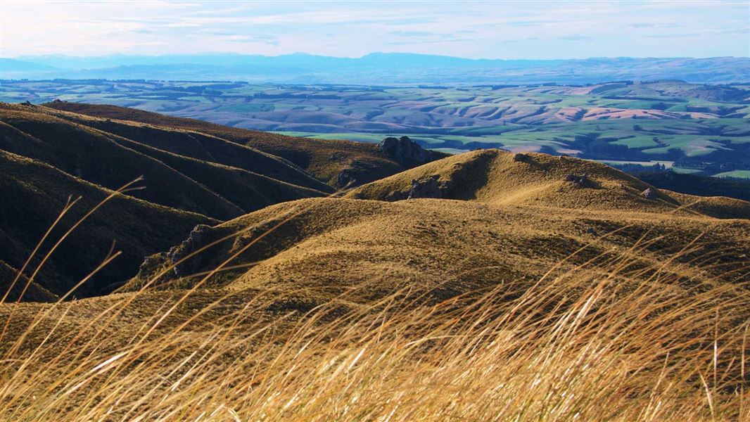
A place of significance to Ngāi Tahu, Maukaatua gazes over the Taieri plains to the coast and inland over rolling tussock-covered hills.
The route
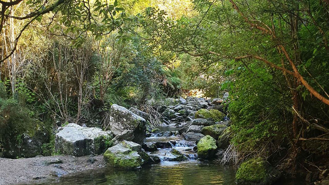
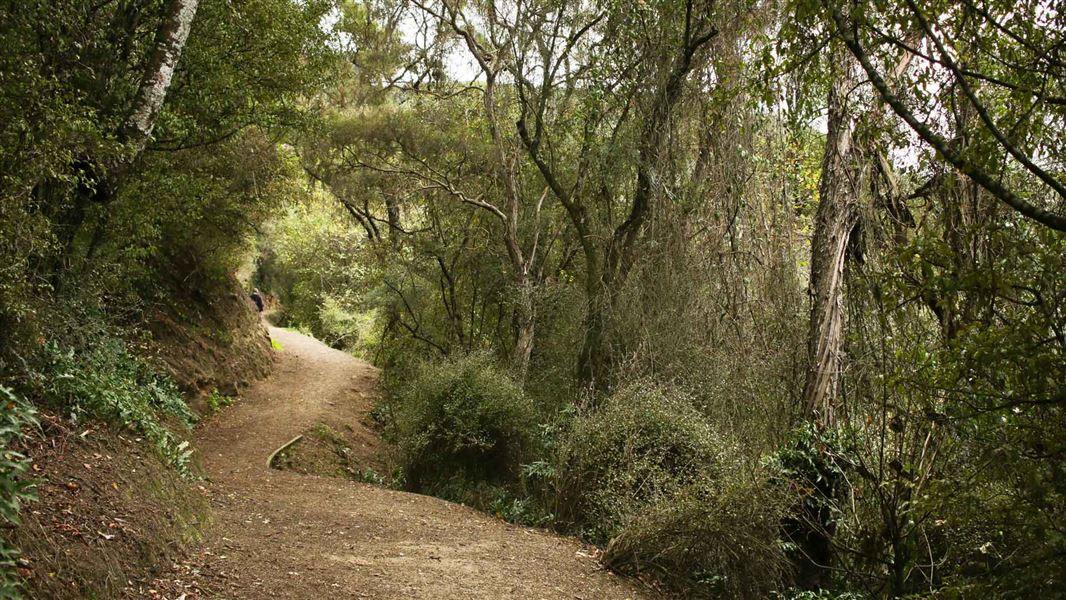
The track begins from the end of the Woodside Glen Walk where it crosses Lee Creek, as indicated with an orange marker. From this point the track is an advanced tramping track so requires a higher degree of care. Follow the central path according to orange waymarks as you go up – there are many tracks used for other purposes such as hunting, which diverge into the bush. As you move upwards from the valley floor, experience a rare, unbroken transition in vegetation. Podocarp broadleaved forests shift through tawai/silver beech forest and montane shrubland, to low-alpine snow-grass and cushion bog communities as you reach the summit plateau. Pīwakawaka/fantails and other native birds and occasionally wild pigs or deer may be sighted. Once reaching the bush-line where the tussock begins, orange poles mark the final ascent to a cluster of schist and the end of the track. Take a break from this vantage point and take in spectacular views that extend in all directions. The managed track finishes at this orange marker. You will need to return via the same track.
Source: DOC Te Papa Atawhai.
Know before you go
Stay safe when crossing rivers and streams
If you plan to cross unbridged rivers or side streams, know how to cross safely and be prepared for if you cannot cross. Do not cross if the river or stream is flooded, you cannot find safe entry and exit points or are unsure it’s safe. Turn back or wait for the river to drop. If in doubt, stay out. How to cross rivers safely NIWA river flow forecasts: View a video of national followed by regional river flows
Source: DOC Te Papa Atawhai.
Nearby stops
Sinclair Wetland Reserve
Otago • 15.7 km
Sinclair Wetland Reserve is a campsite located in the Otago region. The provided data does not list specific facilities or amenities for this site.
Brighton Caravan Park & Boat Hire
Otago • 17 km
Brighton Caravan Park & Boat Hire is a campsite located in the Otago region. The facility offers boat hire services in addition to camping accommodation.
Walks nearby
Notes from people who have been
No notes yet. If you have been, say what you found.
Something missing or out of date?
Closed, moved, wrong facts, or something we have missed? Travellers keep the Road Guide up to date. Tell us what you found at contribute@parkup.nz and we will check it and add it.
Ask us to take this down
A person reads every request. We do not remove a place until we have checked it.
Sources
- DOC Tracks (API) · CC BY 4.0Crown Copyright: Department of Conservation Te Papa Atawhai. Data sourced from the DOC Developer Portal (api.doc.govt.nz).
- DOC Tracks & Trails · CC BY 4.0Data sourced from the Department of Conservation (DOC), New Zealand.