Matahiwi Coffee Shop and Roadside Cabins
CampsiteManawatū-Whanganui
- Toilet
- Yes
- Drinking water
- Safe to drink
Map
Map data © OpenStreetMap contributors. Topo map: LINZ, CC BY 4.0. 39.60565° S, 175.16092° E
Got a good photo of this place? Send it to us and we will show it with your name.
About this place
Matahiwi Coffee Shop and Roadside Cabins is a campsite located in the Manawatū-Whanganui region. The site offers roadside cabins and a coffee shop for visitors.
Nearby stops
Kauika Campsite
Manawatū-Whanganui • 5 km
Kauika Campsite is a camping area located in the Manawatū-Whanganui region. The provided records do not list specific facilities or details for this site.
The Flying Fox
Manawatū-Whanganui • 6.4 km
The Flying Fox is a campsite located in the Manawatū-Whanganui region. No further details about facilities or amenities are available in the provided records.
Atene Skyline Campsite
Backcountry • Manawatū-Whanganui • 10.6 km
Atene Skyline Campsite is a backcountry campsite situated on the Atene Skyline Track within Whanganui National Park. It is located in the Manawatū-Whanganui…
Shelter for cooking • Toilets - non-flush • Toilets
Freedom Camping
Manawatū-Whanganui • 12.4 km
Freedom Camping is a campsite located in the Manawatū-Whanganui region. No specific facilities or details are provided in the available records.
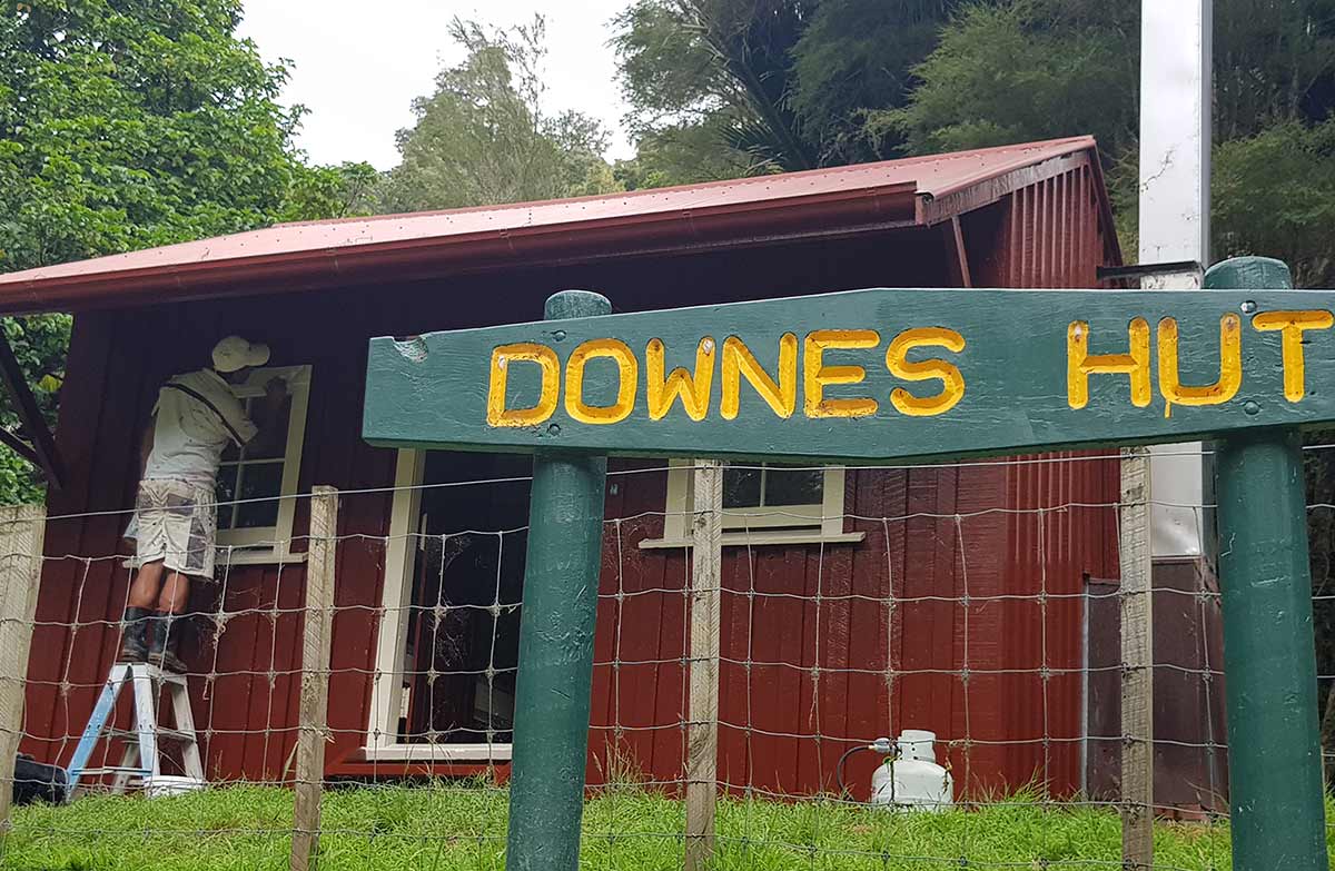
Downes Hut
Serviced • 5 bunks • Manawatū-Whanganui • 13.7 km
Downes Hut is a serviced five-bunk hut in the Whanganui region that is only accessible by boat. Camping is not permitted in the area.
Heating • Mattresses • Toilets - non-flush
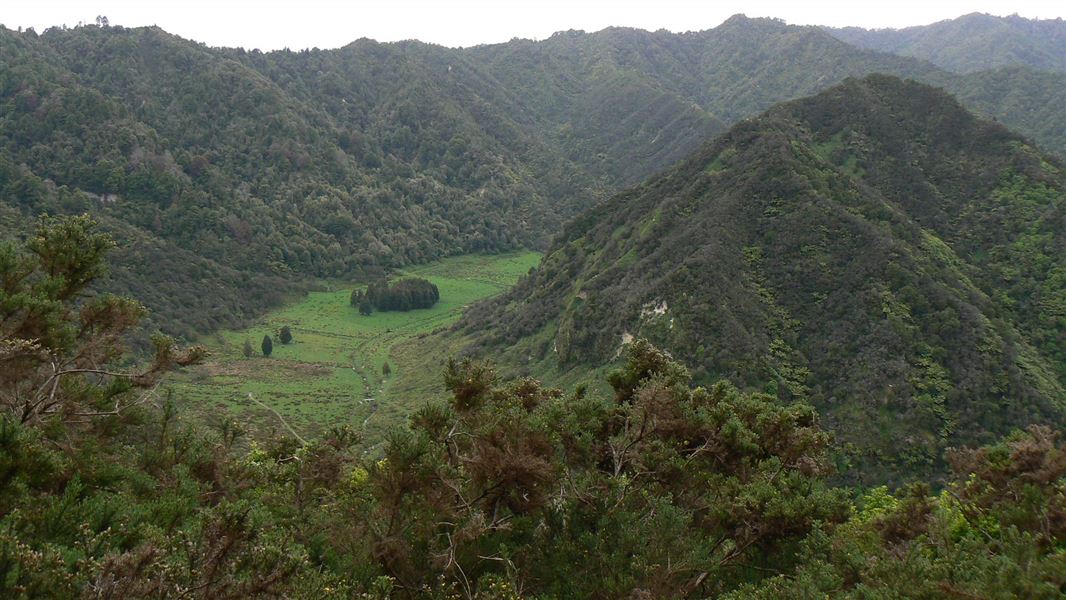
Notes from people who have been
No notes yet. If you have been, say what you found.
Something missing or out of date?
Closed, moved, wrong facts, or something we have missed? Travellers keep the Road Guide up to date. Tell us what you found at contribute@parkup.nz and we will check it and add it.
Ask us to take this down
A person reads every request. We do not remove a place until we have checked it.
Sources
- OpenStreetMap Campsites · ODbL (Open Database License)Contains information from OpenStreetMap, made available under the ODbL.