Atene Skyline Track
WalkManawatū-WhanganuiOpen
- Grade
- Advanced
- Walking time
- 8 hr
- Distance
- 12.5 km
- Route
- One way
- Dogs
- No dogs
Getting there
We have not checked a road end or car park for this place yet, so we do not give driving directions to it. Check how to get there before you go. Some routes cross private land and need the landowner's permission.
How to get there, on doc.govt.nzThe two entrances to this almost circular track begin on the Whanganui River Road, 36 km from Whanganui. Both entrances to the track are less than 2 km apart.
Source: DOC Te Papa Atawhai.
Map
Map data © OpenStreetMap contributors. Topo map: LINZ, CC BY 4.0. 39.70443° S, 175.16178° E
About this place
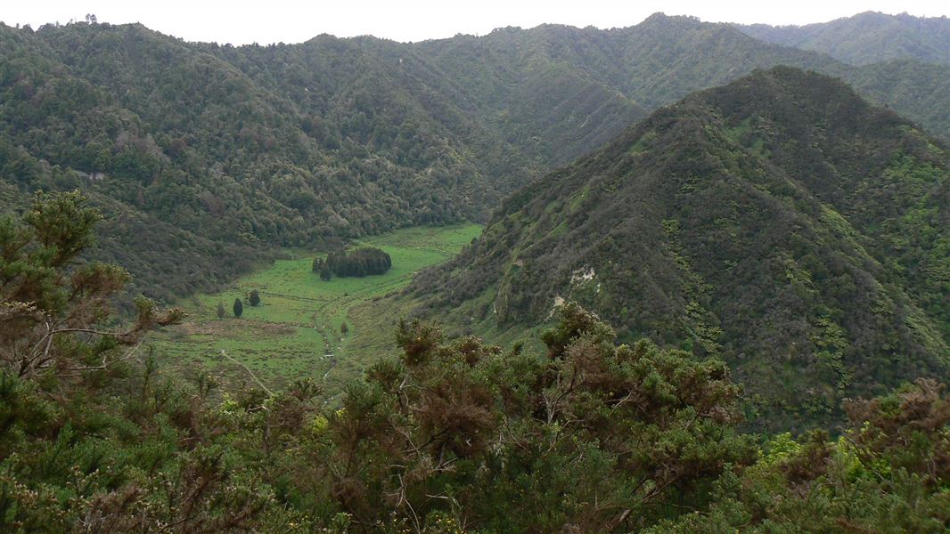
The Atene Skyline Track has spectacular views and a campsite for trampers wanting to stay the night.
The route
Beginning at the up-river end, the track climbs steeply from the River Road to a height of 260 m through fine lowland forest. Following an old, gently graded roadline for around 3 km the track follows the ridgeline to a clearing which marks the track's halfway point. A campsite with drinking water, a shelter and a toilet is available here. Shortly beyond this point is the Taumata Trig, the highest point of the track at 572 m. The track then winds around the edge of sandstone bluffs to reach Taupiri Trig before descending steeply back to the River Road. Note that this track is not a complete loop. It's an extra 2 km walk along the road to return to the carpark.
Source: DOC Te Papa Atawhai.
Know before you go
Weather forecast
Check the weather forecast before heading out: Whanganui National Park weather forecast – NIWA website . Cold temperatures and heavy rain are common – the weather can change fast.
Source: DOC Te Papa Atawhai.
Nearby stops
Freedom Camping
Manawatū-Whanganui • 3.2 km
Freedom Camping is a campsite located in the Manawatū-Whanganui region. No specific facilities or details are provided in the available records.
Downes Hut
Serviced • 5 bunks • Manawatū-Whanganui • 3.6 km
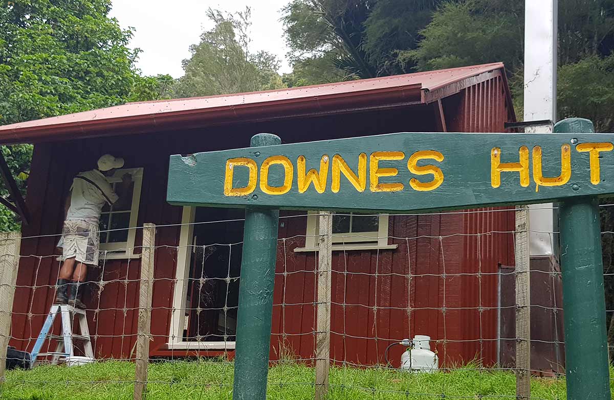
Downes Hut is a serviced five-bunk hut in the Whanganui region that is only accessible by boat. Camping is not permitted in the area.
Heating • Mattresses • Toilets - non-flush
The Flying Fox
Manawatū-Whanganui • 4.6 km
The Flying Fox is a campsite located in the Manawatū-Whanganui region. No further details about facilities or amenities are available in the provided records.
Rivertime Lodge
Manawatū-Whanganui • 5.8 km
Rivertime Lodge is a hut located in the Manawatū-Whanganui region. There is no additional information available regarding its specific facilities or features.
Matahiwi Coffee Shop and Roadside Cabins
Manawatū-Whanganui • 11 km
Matahiwi Coffee Shop and Roadside Cabins is a campsite located in the Manawatū-Whanganui region. The site offers roadside cabins and a coffee shop for visitors.
Something missing or out of date?
Closed, moved, wrong facts, or something we have missed? Travellers keep the Road Guide up to date. Tell us what you found at contribute@parkup.nz and we will check it and add it.
Ask us to take this down
A person reads every request. We do not remove a place until we have checked it.
Sources
- OpenStreetMap Trails · ODbL (Open Database License)Contains information from OpenStreetMap, made available under the ODbL.
- DOC Tracks (API) · CC BY 4.0Crown Copyright: Department of Conservation Te Papa Atawhai. Data sourced from the DOC Developer Portal (api.doc.govt.nz).
- DOC Tracks & Trails · CC BY 4.0Data sourced from the Department of Conservation (DOC), New Zealand.