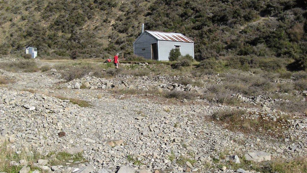
Manuka Hut
Basic/bivvies hutHakatere Conservation Park, CanterburyOpen
- Sleeps
- 6 bunks
- Booking
- Not bookable
- Cost
- Free
- Heating
- Yes
- Drinking water
- Not drinkable
- Toilet
- Non-flush
Getting there
We have not checked a road end or car park for this place yet, so we do not give driving directions to it. Check how to get there before you go. Some routes cross private land and need the landowner's permission.
How to get there, on doc.govt.nzFrom Mount Somers, follow Ashburton Gorge Road for 31 km, then Hakatere Heron Road for another 8 km. Turn right just before crossing Jacobs Stream Bridge at Castle Ridge Station. Vehicles can park on the farm track verge before the gate – be considerate of other users and farm vehicles.
It is a further 2.7 km to Lake Emily car park. This section of track may be very wet and muddy. Lake Emily car park to Manuka Hut is a 4.5 km / 1 hour 30 minutes walk/.
For mountain bike or horse access to Manuka Hut, continue past the Te Araroa junction, down the Stour River, for a further 2.5 km before turning left. Don't take mountain bikes or horses on the Te Araroa route from Lake Emily to Manuka Hut, as it's steep and easily damaged.
- Topo map
- Topo50 sheet BX19
- Grid reference
- E1458961, N5178203
Source: DOC Te Papa Atawhai.
Map and tracks
Track lines: DOC Te Papa Atawhai. Map data © OpenStreetMap contributors. Topo map: LINZ, CC BY 4.0. 43.53560° S, 171.25449° E
About this place
Manuka Hut is a basic hut in the Mid and South Canterbury backcountry area. This hut is at risk of flooding during heavy rain.
On the way here
Manuka Hut Track · 1 hr 30 min one way
From Lake Emily, follow the tramping track to the junction with Stour Track. If walking, keep to the left to stay on the track that says Te Araroa. Follow it until you meet the Stour River – here the track reconnects with the mountain bike track. Continue up the river to Manuka Hut.
For mountain bike or horse access to Manuka Hut, continue right at the junction, down the Stour Track for a further 2.5 km before turning left on to the Manuka Hut Mountain Bike Link Track. Follow this up the river for 2.5 km until it joins back with the walking track.
Don't take mountain bikes or horses on the Te Araroa route from Lake Emily to Manuka Hut as it's steep and easily damaged.
Source: DOC Te Papa Atawhai.
Know before you go
Flooding risk
This hut is at risk of flooding during heavy rain events. Monitor river levels during storms. Evacuate to the higher ground behind the hut if necessary.
Source: DOC Te Papa Atawhai.
Nearby stops
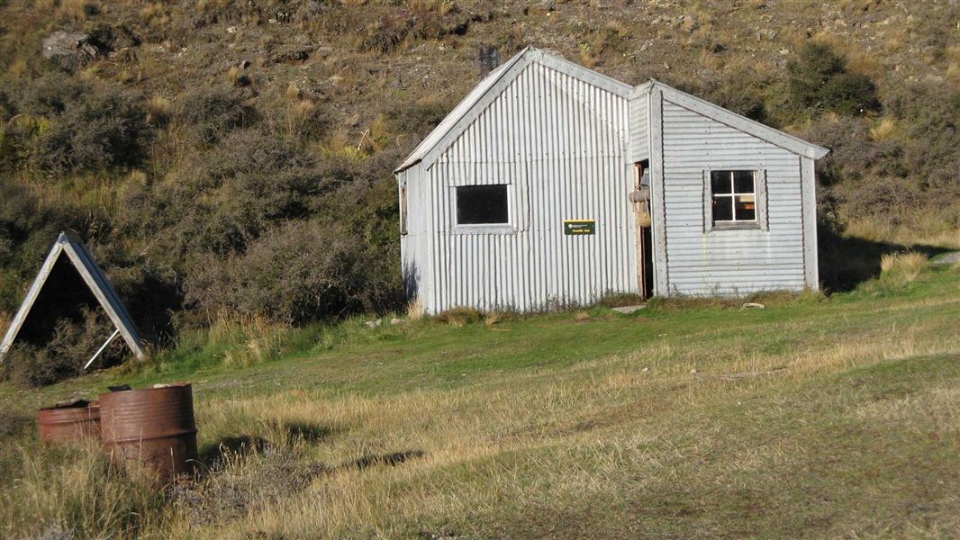
Double Hut
Basic/bivvies • 6 bunks • Canterbury • 4.5 km
Double Hut is a basic hut located in the Mid and South Canterbury area.
Heating • Mattresses • Toilets - non-flush
Three Creeks Hut
Canterbury • 8.7 km
Lake Heron Camp
Canterbury • 9.2 km
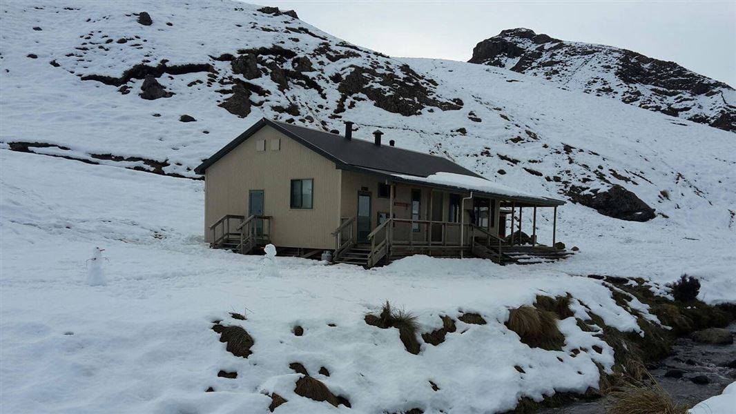
Woolshed Creek Hut
Serviced • 26 bunks • Canterbury • 9.3 km
Woolshed Creek Hut is a Department of Conservation hut located in the Canterbury region. It provides a suitable overnight stop for families with children or…
Heating • Mattresses • Toilets - non-flush
Lagoon Hut
Canterbury • 13 km
Lagoon Hut is a hut located in the Canterbury region of New Zealand. The provided data does not include specific details regarding its facilities, capacity, or…
Walks nearby
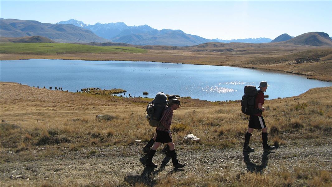
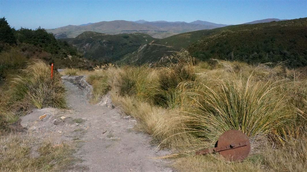
Stour Track
Intermediate • 5 hr one way • 15 km • 6.17 km away
Track to Woolshed Creek Hut
Intermediate • 3 hr • 5.1 km • 9.89 km away
Mount Somers Nature Walk
Easy • 30 min one way • 1 km • 10.86 km away
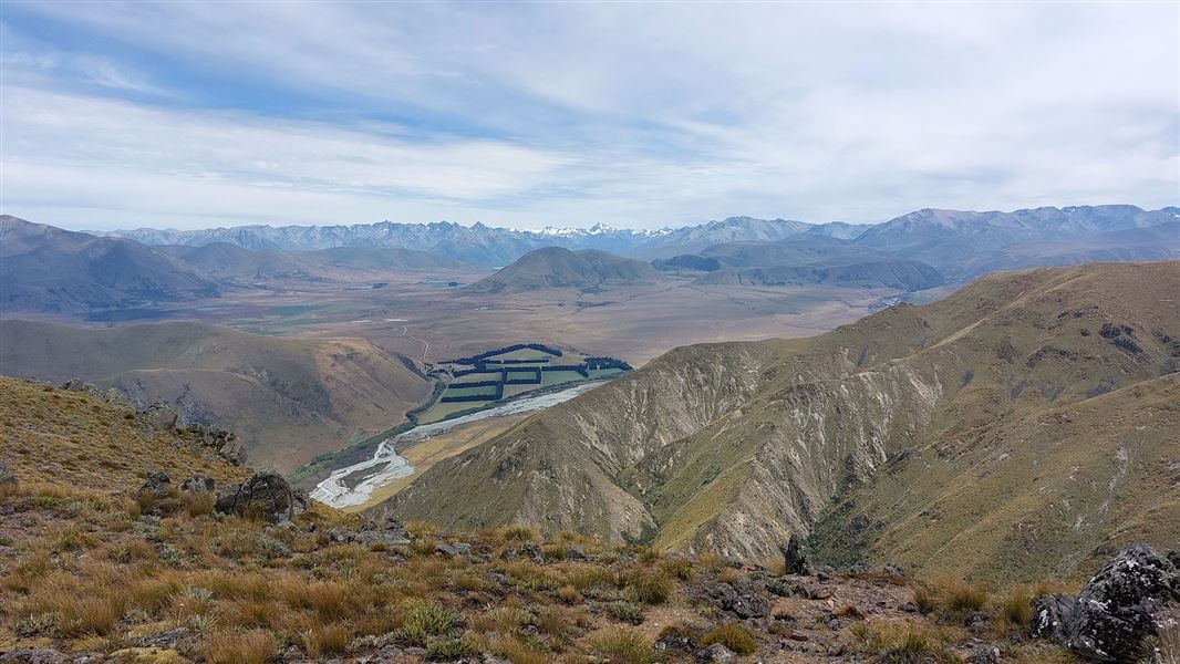
Mount Barrosa Track
Advanced • 2 hr 30 min one way • 3.5 km one way • 11.49 km away
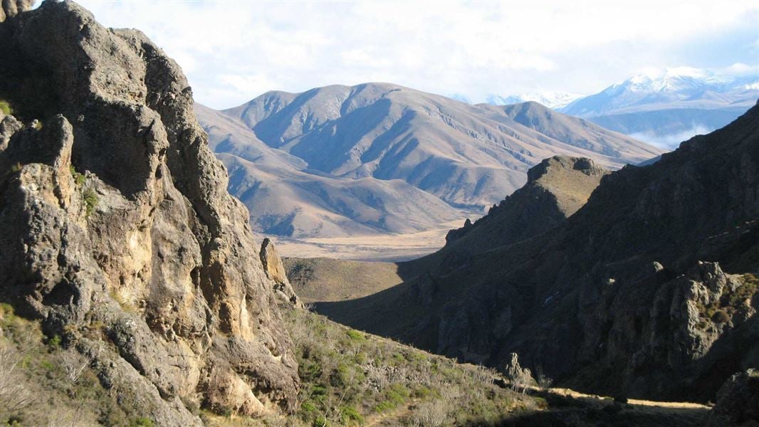
Mount Somers Track
Intermediate • 2 days • 17.1 km • 11.72 km away
Contact
DOC Customer Service Centre
Regional DOC service centre.
Notes from people who have been
No notes yet. If you have been, say what you found.
Something missing or out of date?
Closed, moved, wrong facts, or something we have missed? Travellers keep the Road Guide up to date. Tell us what you found at contribute@parkup.nz and we will check it and add it.
Ask us to take this down
A person reads every request. We do not remove a place until we have checked it.
Sources
- DOC Huts (API) · CC BY 4.0Crown Copyright: Department of Conservation Te Papa Atawhai. Data sourced from the DOC Developer Portal (api.doc.govt.nz).
- DOC Huts · CC BY 4.0Data sourced from the Department of Conservation (DOC), New Zealand.
- OpenStreetMap Huts · ODbL (Open Database License)Contains information from OpenStreetMap, made available under the ODbL.