Mananui Tramline (Māhinapua Walkway)
WalkWest Coast
- Grade
- Easy
- Walking time
- 4 hr 30 min
- Dogs
- DOC permit only
Getting there
We have not checked a road end or car park for this place yet, so we do not give driving directions to it. Check how to get there before you go. Some routes cross private land and need the landowner's permission.
How to get there, on doc.govt.nzAccess is from a signposted car park approximately 8 km south of Hokitika on SH6 or from a car park on the eastern side of Lake Māhinapua on the Woodstock Rimu Road. The walk can be done from either direction.
Source: DOC Te Papa Atawhai.
Map
Map data © OpenStreetMap contributors. Topo map: LINZ, CC BY 4.0. 42.78360° S, 170.93277° E
About this place
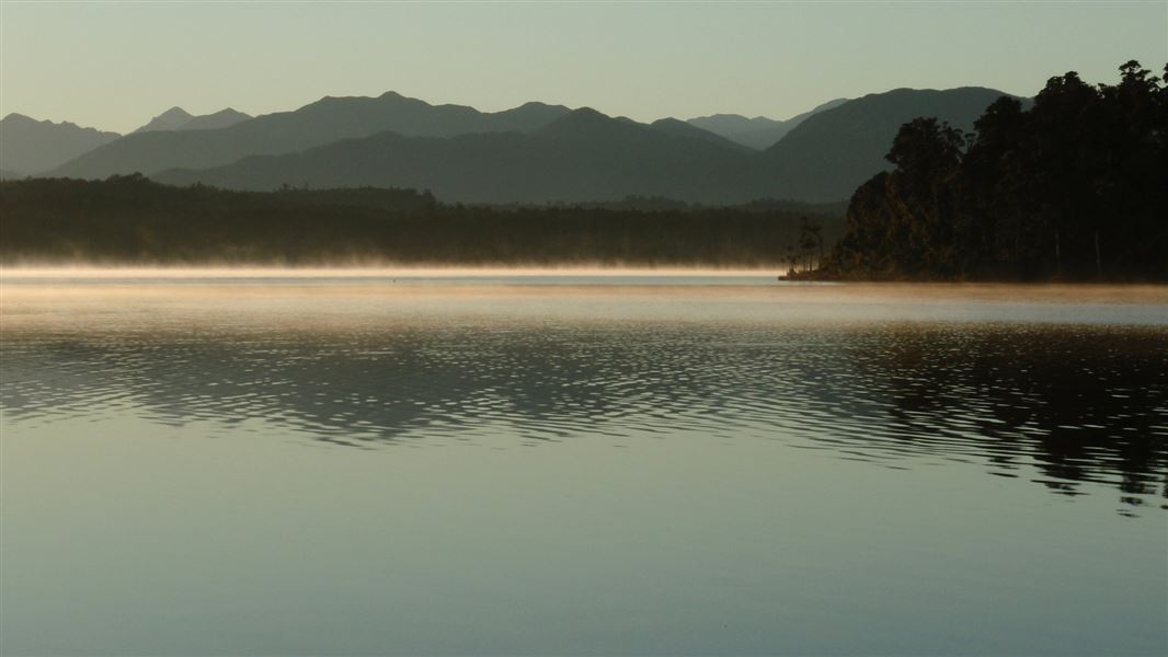
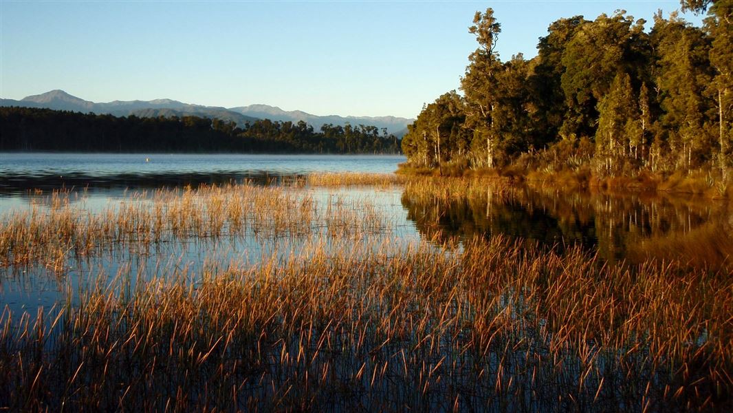
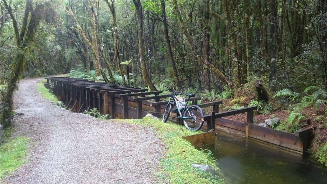
This flat, easy walk or mountain bike ride, suitable for children, follows an old logging tramline and passes beautiful Lake Māhinapua.
The route
Woodstock Rimu Road to Picnic Point
Starting from the car park off the Woodstock Rimu Road, the eastern end of the walkway leaves the road and joins a historic logging tramline which is followed for the rest of the trip. After a straight flat section section, the track climbs gradually around the side of a small hill before reaching the turn-off to Picnic Point. The track to Picnic Point is a side trip to a small pebbly beach on the edge of Lake Māhinapua which is about 15 minute walk from the turn-off. Picnic Point and return to the carpark is about one hour and is a popular walk for those not wanting to go along the whole walkway.
Picnic Point turnoff to Mananui Bush
Soon after the turn-off to Picnic Point the tramline leaves the scenic reserve and crosses a creek into Māhinapua Forest. This area was commercially logged before being grazed for a short time. It then became an experimental forestry station and was logged again in the 1970s. The track continues through the forest before descending around the side of a small hill to lower lying land. Elevated board walks are used to cross this swampy area, which floods regularly. After crossing this swamp the track sweeps around to the site of the Mananui Sawmill that was started in 1885. From here the walkway crosses Māhinapua Creek and its swampy margins via a foot bridge and through a privately owned deer farm, before emerging on S 6 just north of Mananui bush.
Source: DOC Te Papa Atawhai.
Nearby stops

Lake Māhinapua Campsite
Standard • West Coast • 2.9 km
Lake Māhinapua Campsite is located on the West Coast beside the lake, surrounded by forest. It serves as a popular stop for both overnight stays and day…
Boat launching • Jetty • Non-powered/tent sites
Links View Holiday Park
West Coast • 4.6 km
Woodstock Domain
West Coast • 6 km
STOP Caravan park
West Coast • 7.6 km
Hokitika's Kiwi Holiday Park and Motel
West Coast • 8.4 km
Walks nearby
Notes from people who have been
No notes yet. If you have been, say what you found.
Something missing or out of date?
Closed, moved, wrong facts, or something we have missed? Travellers keep the Road Guide up to date. Tell us what you found at contribute@parkup.nz and we will check it and add it.
Ask us to take this down
A person reads every request. We do not remove a place until we have checked it.
Sources
- DOC Tracks (API) · CC BY 4.0Crown Copyright: Department of Conservation Te Papa Atawhai. Data sourced from the DOC Developer Portal (api.doc.govt.nz).