Luxmore Hut
Great Walk hutFiordland National Park, SouthlandOpen
Current advisories
Iris Burn Hut is closed for winter
29 September 2026
Iris Burn Hut is closed until mid-October 2026 for major renovations. Do not plan to stay at the hut when walking the Kepler Track this winter. Luxmore Hut and Moturau Hut remain open, but there is no hut accommodation between them during this period. Iris Burn Campsite remains open - campers must be fully self-sufficient and prepared for winter conditions. First published on 26 March 2026. Last reviewed on 30 September 2026.
Source: DOC Te Papa Atawhai alerts.
- Sleeps
- 54 bunks
- Booking
- Can book
- Heating
- Yes
- Drinking water
- Boil first
- Toilet
- Yes
Getting there
We have not checked a road end or car park for this place yet, so we do not give driving directions to it. Check how to get there before you go. Some routes cross private land and need the landowner's permission.
How to get there, on doc.govt.nzThis hut is on the Kepler Track, in Fiordland, and is about 5-6 hours walk from the track start/end (Kepler Carpark).
- Topo map
- Topo50 sheet CD07
- Grid reference
- E1178767, N4960153
Source: DOC Te Papa Atawhai.
Map and tracks
Track lines: DOC Te Papa Atawhai. Map data © OpenStreetMap contributors. Topo map: LINZ, CC BY 4.0. 45.38523° S, 167.61916° E
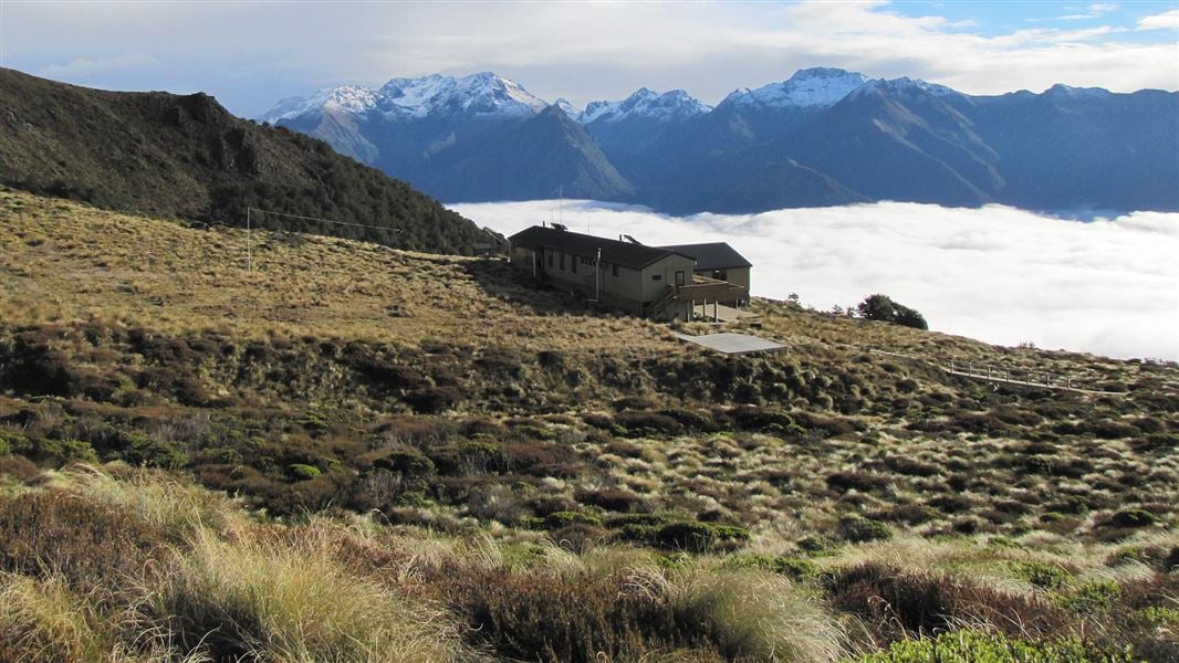
About this place
This is a 54 bunk, Great Walk hut on the Kepler Track, Fiordland. Bookings are required in all seasons.
On the way here
Kepler Track: Carpark to Luxmore Hut · 8-10 hr return
From here you have panoramic views and it takes about another 45 minutes to walk to Luxmore Hut (1085 m).
Kepler Track · 3-4 days
Walking options
Walk the full track. Most walkers take 4 days/3 nights. Enjoy a day walk: Kepler Track carpark to Dock Bay and Brod Bay | Kepler Track carpark to Rainbow Reach | Rainbow Reach to Shallow Bay or Moturau Hut | Kepler Track carpark to Luxmore Hut Explore on Google Street View | Watch videos
Brod Bay to Luxmore Hut
Time: 3 hr 30 min – 4 hr 30 min
8.2 km A challenging climb under impressive limestone bluffs takes you above the bushline to panoramic views of the Te Anau Basin and surrounding mountains. Luxmore Hut is a 45 minute walk from the bushline.
Luxmore Hut to Iris Burn Hut
Time: 5 – 6 hr
14.6 km Start your day on top of the world. From the hut, you’ll climb to a ridge just below Mount Luxmore, with stunning views across the south fiord of Lake Te Anau to the Murchison Mountains. A welcoming sight after a day on the tops, Iris Burn Hut is situated in a large tussock clearing. Caution: Fill drink bottles at Luxmore Hut before leaving, as there are no reliable water sources along the alpine section until Iris Burn Hut.
Source: DOC Te Papa Atawhai.
Know before you go
Weather forecast
Luxmore Hut weather forecast – NIWA website
Source: DOC Te Papa Atawhai.
Trip options
Walking times come from DOC track descriptions, added up leg by leg from car-accessible trailheads. Nights and return times are ParkUp estimates, allowing about 8 hours of walking a day.
2 options · 1 to 3 nights
Kepler Track carpark
Walking in
6 hr
Walking out
6 hr to Kepler Track carpark
Walking in
6 hr
Walking out
18 hr to Kepler Track carpark (via Iris Burn Hut, Moturau Hut)
Source: DOC Te Papa Atawhai track descriptions.
Fees and bookings
Backcountry Hut Passes can only be used in this hut from 1 May to 28 October. Passes cannot be used from 29 October to 30 April.
Bookings are required in the Great Walks season. Book Luxmore Hut online. Bookings are also required outside the Great Walks season Book Luxmore Hut winter stays online for 1 May to 28 October. Backcountry Hut Passes can be used as payment online. Hut Tickets are not valid and can no longer be redeemed for bookings.
Source: DOC Te Papa Atawhai.
On these tracks
Source: DOC Te Papa Atawhai.
Nearby stops
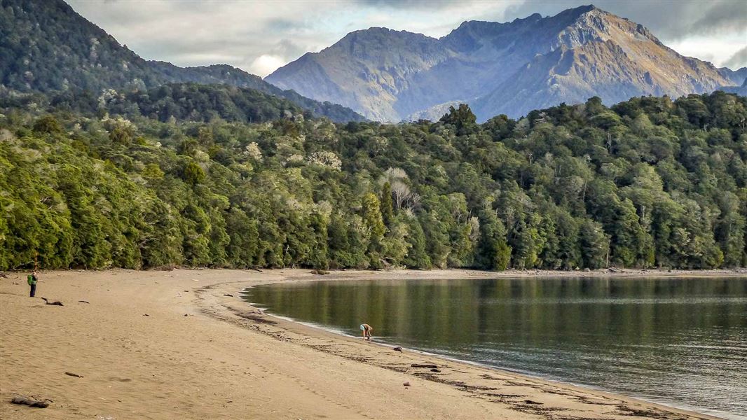
Brod Bay Campsite
Great Walk • Southland • 4.9 km
Brod Bay Campsite is a walk-in Great Walk campsite situated beside Lake Te Anau on the Kepler Track in Fiordland National Park. Bookings are required during…
Non-powered/tent sites • Shelter for cooking • Water from tap - not treated, boil before use
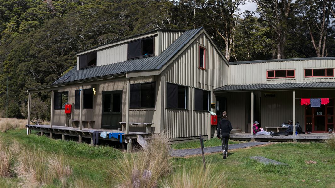
Iris Burn Hut
Great Walk • 50 bunks • Southland • 8.7 km
Iris Burn Hut is a 50 bunk Great Walk hut on the Kepler Track in Fiordland. Bookings are required during the Great Walks season.
Cooking • Heating • Mattresses
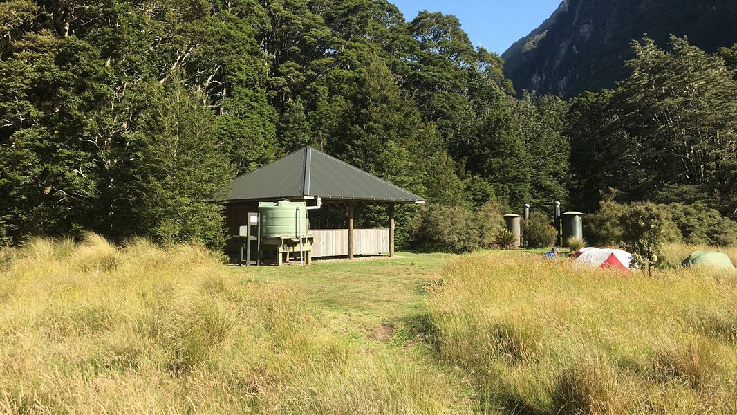
Iris Burn Campsite
Great Walk • Southland • 8.8 km
Iris Burn Campsite is a walk-in Great Walk campsite located in the Iris Burn valley on the Kepler Track in Fiordland National Park. Bookings are required…
Non-powered/tent sites • Shelter for cooking • Water from tap - not treated, boil before use
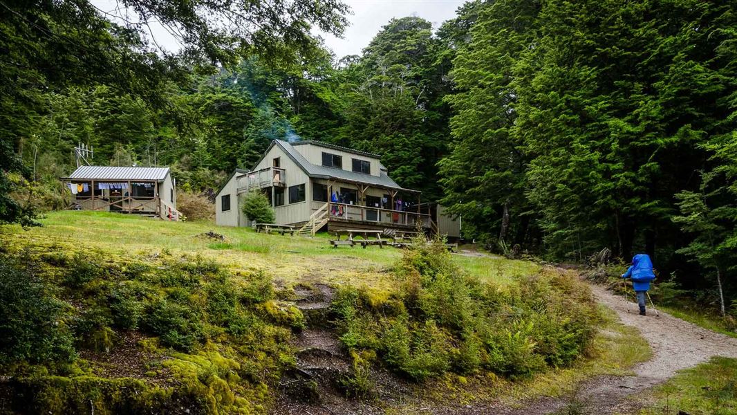
Moturau Hut
Great Walk • 40 bunks • Southland • 10.7 km
Moturau Hut is a 40 bunk Great Walk hut located on the Kepler Track in Fiordland. Bookings are required during the Great Walks season.
Cooking • Heating • Mattresses
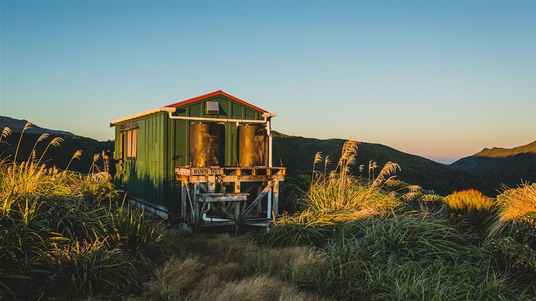
Burn Hut
Basic/bivvies • 6 bunks • Manawatū-Whanganui • 832.6 km
Burn Hut is a basic six-bunk hut located in the Kapiti region.
Mattresses • Toilets - non-flush • Water from tap - not treated, boil before use
Walks nearby
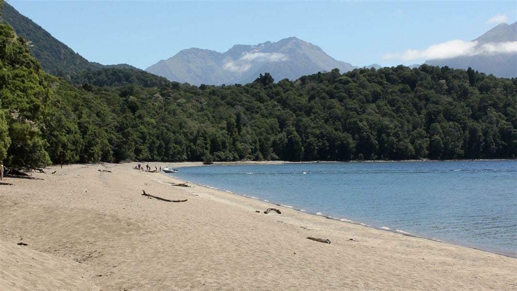
Kepler Track: Carpark to Dock Bay and Brod Bay
Easy • 1-3 hr return • 5.6 km • 6.79 km away
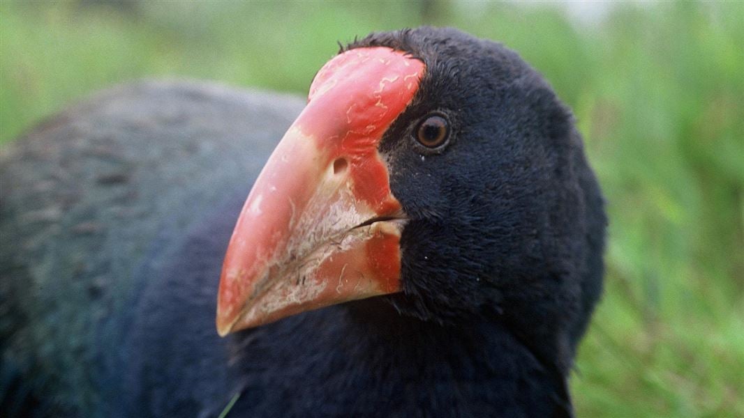
Visitor Centre to Te Anau Bird Sanctuary Walk
Easy • 20 min • 1 km • 8.87 km away
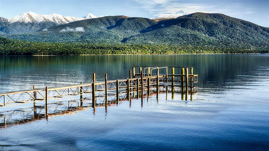
Visitor Centre to Kepler Track Carpark Walk
Easy • 50 min • 3.5 km • 8.93 km away
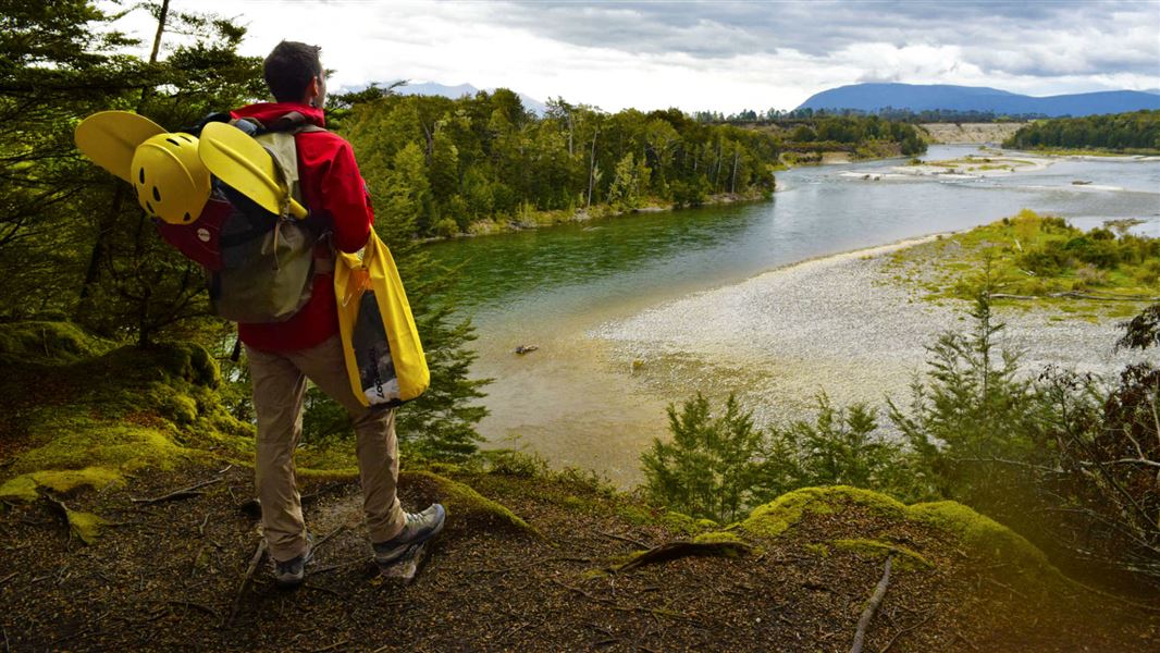
Kepler Track: Carpark to Rainbow Reach
Intermediate • 2.5 hr one way • 9.5 km • 10.5 km away
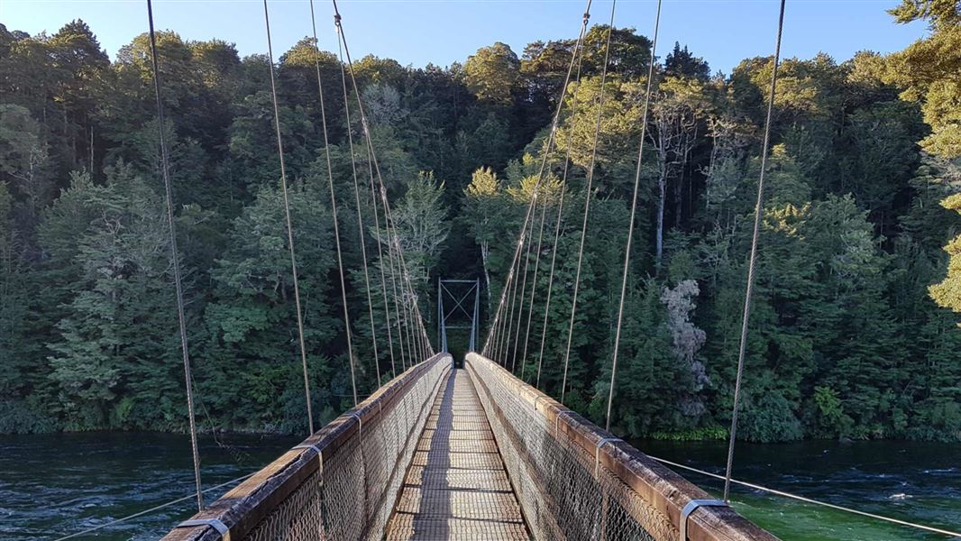
Kepler Track: Rainbow Reach to Shallow Bay or Moturau Hut
Intermediate • 3 - 3 hr 30 min return • 12 km • 12.17 km away
Contact
Te Rua-o-te-moko/Fiordland National Park Visitor Centre
1 Lakefront Drive, Te Anau 9600
Regional DOC service centre.
Notes from people who have been
No notes yet. If you have been, say what you found.
Something missing or out of date?
Closed, moved, wrong facts, or something we have missed? Travellers keep the Road Guide up to date. Tell us what you found at contribute@parkup.nz and we will check it and add it.
Ask us to take this down
A person reads every request. We do not remove a place until we have checked it.
Sources
- OpenStreetMap Huts · ODbL (Open Database License)Contains information from OpenStreetMap, made available under the ODbL.
- DOC Huts (API) · CC BY 4.0Crown Copyright: Department of Conservation Te Papa Atawhai. Data sourced from the DOC Developer Portal (api.doc.govt.nz).
- DOC Huts · CC BY 4.0Data sourced from the Department of Conservation (DOC), New Zealand.