Kepler Track
WalkSouthland
- Grade
- Expert
- Walking time
- 4 days
- Distance
- 60 km
- Dogs
- No dogs
Getting there
We have not checked a road end or car park for this place yet, so we do not give driving directions to it. Check how to get there before you go. Some routes cross private land and need the landowner's permission.
How to get there, on doc.govt.nzKepler Track can be started from:
Shuttle buses provide a daily service to the entry and exit points on the track during the Great Walks season. A scheduled boat service also offers transport to Brod Bay.
Southland NZ has information about transport operators.
Source: DOC Te Papa Atawhai.
Map and tracks
Track lines: DOC Te Papa Atawhai. Map data © OpenStreetMap contributors. Topo map: LINZ, CC BY 4.0. 45.40410° S, 167.64077° E
About this place
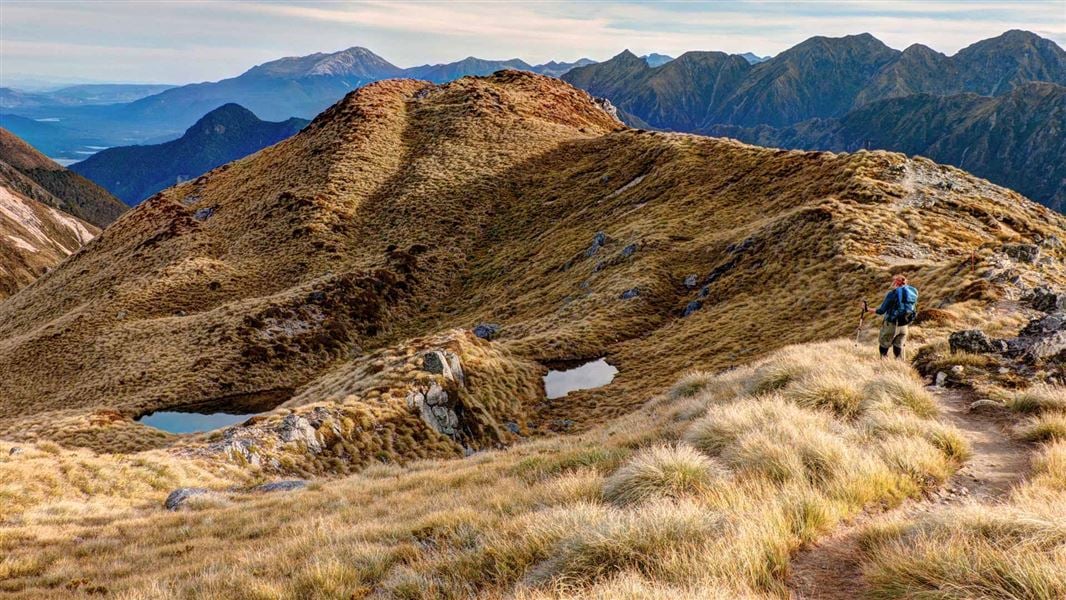
Walk along the shores of beech-forested lakes and up to tussock-covered ridgelines with spectacular views. From May to late October, conditions can be challenging – only attempt if you have the skills and experience.
The route
Walking options
Walk the full track. Most walkers take 4 days/3 nights. Enjoy a day walk: Kepler Track carpark to Dock Bay and Brod Bay | Kepler Track carpark to Rainbow Reach | Rainbow Reach to Shallow Bay or Moturau Hut | Kepler Track carpark to Luxmore Hut Explore on Google Street View | Watch videos
Places to stay
There are three huts and two campsites along the Kepler Track, which must be booked well in advance during the Great Walks season. Camping or staying overnight in the shelters at Forest Burn and Hanging Valley is not permitted. Huts have bunks, mattresses, heating, toilets, basic cooking facilities, solar-powered lighting, and cold running water. A DOC ranger is in residence. Huts do not have food, cooking utensils or showers. Campsites have basic facilities including toilets, sinks and a water supply. Some have picnic tables and shelters. Campers can't use the hut facilities.
Kepler Track carpark to Brod Bay
Time: 1 hr 30 min
5.6 km The track begins with a stroll through the beech forest along the shore of Lake Te Anau, the largest body of fresh water in Australasia, to Brod Bay.
Brod Bay to Luxmore Hut
Time: 3 hr 30 min – 4 hr 30 min
8.2 km A challenging climb under impressive limestone bluffs takes you above the bushline to panoramic views of the Te Anau Basin and surrounding mountains. Luxmore Hut is a 45 minute walk from the bushline.
Side trip: Luxmore Cave
Time: 20 min return
The track from the hut is clearly signposted.
Luxmore Hut to Iris Burn Hut
Time: 5 – 6 hr
14.6 km Start your day on top of the world. From the hut, you’ll climb to a ridge just below Mount Luxmore, with stunning views across the south fiord of Lake Te Anau to the Murchison Mountains. A welcoming sight after a day on the tops, Iris Burn Hut is situated in a large tussock clearing. Caution: Fill drink bottles at Luxmore Hut before leaving, as there are no reliable water sources along the alpine section until Iris Burn Hut.
Side trip: Luxmore summit
Time: 30 min return
In fine weather you’ll be rewarded with stunning panoramic views from the highest point on the track (1472 m). Luxmore summit on Google Street View
Iris Burn Hut to Moturau Hut
Time: 5–6 hr
16.2 km Experience ever-changing scenery as the track takes you over a low saddle, then down past a large slip caused by heavy rain to Rocky Point. There is a boardwalk but in heavy rain expect to cross small streams at Rocky Point Shelter. You’ll then wind through a gorge and lowland beech and podocarp forest, before reaching the shore of beautiful Lake Manapouri. The beach-side Moturau Hut has stunning views of the lake.
Moturau Hut to Rainbow Reach
Time: 1 hr 30 min – 2 hr
km The last day is easy walking across a unique and fragile wetland. The track then follows the Waiau River terrace to the swing bridge at Rainbow Reach. You can leave the track here and catch a shuttle bus to Te Anau.
Rainbow Reach to Kepler Track carpark
Time: 2 hr 30 min – 3 hr 30 min
9.5 km Continue alongside the Waiau River to the Kepler Track car park.
Understand if you are ready for the Kepler Track
Watch the NZ Mountain Safety Council’s walk-through video which takes you through how to prepare for this track. Including facilities, key decision points, hazards and typical conditions for the area.
Source: DOC Te Papa Atawhai.
Know before you go
Track not recommended for young children
Track is not recommended for children under the age of 10, due to the exposed mountainous environment and often adverse weather conditions.
Weather conditions
Weather conditions can change quickly in any season. Fiordland National Park experiences high rainfall (up to 9,000 mm per year) and weather conditions can change quickly in any season. Cold temperatures, snow, strong winds and heavy rain can occur at any time of the year. Be prepared for all conditions. Check the Fiordland National Park weather forecast – NIWA website .
Avalanche risk
The risk of avalanche can extend into December. During the Great Walks season, DOC manages avalanche risk and may close the alpine section between Luxmore Hut and Iris Burn Hut if there is avalanche hazard.
Kea are present
Kea are present on the alpine section and Iris Burn area of the track. These inquisitive birds are interested in your camping gear, so be aware of potential damage to your tent and guard your gear to avoid damage or loss.
Take precautions not to spread didymo
Didymo is present in Lake Te Anau, Lake Manapouri and the Waiau River, but currently not in the pristine Irisburn River. All visitors should take precautions to avoid transporting didymo when on the Kepler Track. Use the Check, Clean Dry guidelines to ensure didymo is not spread to further. Do not take water from these areas and avoid filling water bottles and swimming here (in the rivers after swimming the lakes). More information about preventing the spread of freshwater pests in Fiordland National Park .
Annual event on the Kepler
The Kepler Challenge marathon event is held each year on the first Saturday in December and the Kepler Track will be busy with runners. You may want to book a different date for your trip. See Kepler Challenge .
Source: DOC Te Papa Atawhai.
Joins these tracks
Source: DOC Te Papa Atawhai.
On this track
In walking order.
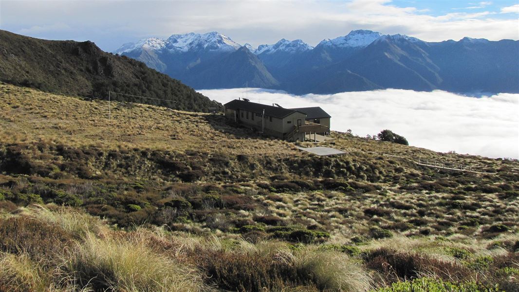
Luxmore Hut
Great Walk • 54 bunks • Southland
- Toilet
- Heating
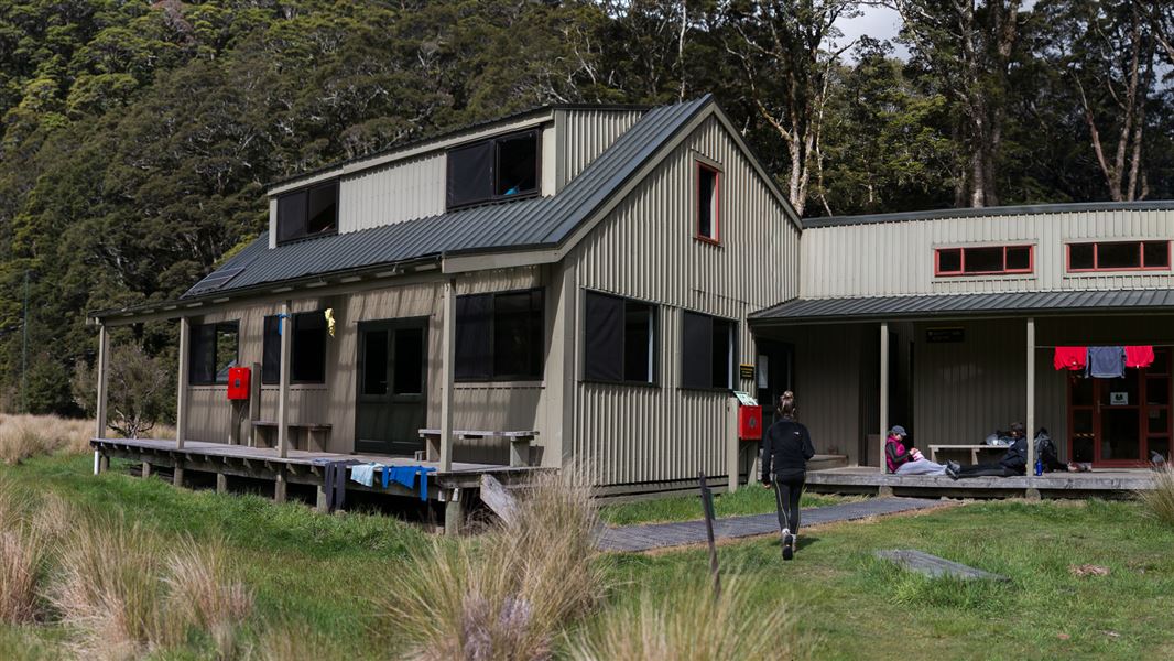
Iris Burn Hut
Great Walk • 50 bunks • Southland
- Toilet
- Heating
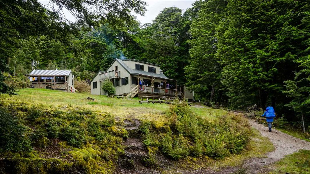
Moturau Hut
Great Walk • 40 bunks • Southland
- Toilet
- Heating
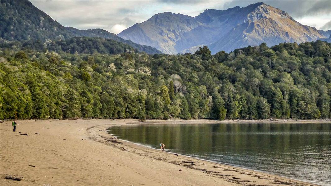
Brod Bay Campsite
Great Walk • Southland
- Toilet
- Water
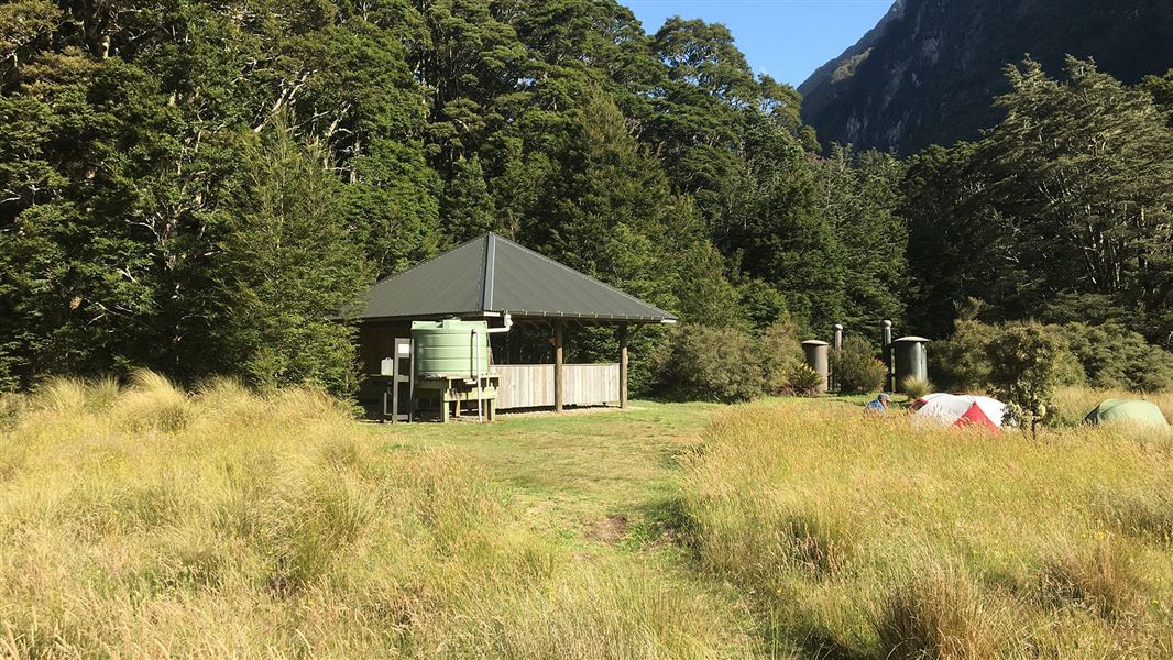
Iris Burn Campsite
Great Walk • Southland
- Toilet
- Water
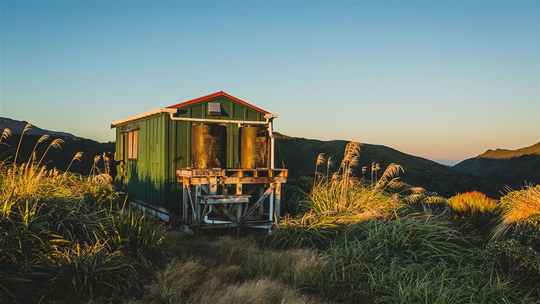
Burn Hut
Basic/bivvies • 6 bunks • Manawatū-Whanganui
- Toilet
- Water
Nearby stops
Luxmore Hut Wild Camping
Southland • 2.4 km
Luxmore Hut Wild Camping is a designated area for legal wild tent camping in the Southland region. It provides a simple outdoor accommodation option for…
Te Anau Top 10 Holiday Park
Southland • 6.2 km
Te Anau Lakeview Holiday Park & Motels
Southland • 6.6 km
Te Anau Lakeview Holiday Park & Motels is a campsite located in the Southland region. The provided data does not include further details regarding its specific…
Fiordland Great Views Holiday Park
Southland • 8 km
Fiordland Great Views Holiday Park is a campsite located in the Southland region. The provided data does not list specific facilities or amenities for this…

Shallow Bay Hut
Standard • 6 bunks • Southland • 10.2 km
Shallow Bay Hut is a standard six-bunk hut located in eastern Fiordland.
Heating • Mattresses • Toilets - non-flush
Walks nearby
Notes from people who have been
No notes yet. If you have been, say what you found.
Something missing or out of date?
Closed, moved, wrong facts, or something we have missed? Travellers keep the Road Guide up to date. Tell us what you found at contribute@parkup.nz and we will check it and add it.
Ask us to take this down
A person reads every request. We do not remove a place until we have checked it.
Sources
- DOC Tracks (API) · CC BY 4.0Crown Copyright: Department of Conservation Te Papa Atawhai. Data sourced from the DOC Developer Portal (api.doc.govt.nz).