Lower Goulter Hut
Standard hutMount Richmond Forest Park, MarlboroughOpen
- Sleeps
- 8 bunks
- Booking
- Not bookable
- Cost
- from $15
- Heating
- Yes
- Drinking water
- Not drinkable
- Toilet
- Non-flush
Getting there
We have not checked a road end or car park for this place yet, so we do not give driving directions to it. Check how to get there before you go. Some routes cross private land and need the landowner's permission.
How to get there, on doc.govt.nz4.9 km north of Renwick, just over the Wairau River bridge, turn off SH6 onto Northbank Road, which becomes Goutler Road. From SH6, travel for 56 km to reach the end of Goulter Road and for 63 km to reach the 4WD road end.
Mid Goulter Hut: 3 hr (6.8 km)
The Goulter Valley widens below Mid Goulter Hut into extensive river flats; few areas such as this exist within the park. If the river is high take the all weather track, following the true left bank and crossing a number of side streams before finally climbing over a bluff and dropping to the hut. If the river is low, you may follow the riverbed.
- Topo map
- Topo50 sheet BR26
- Grid reference
- E1614705, N5393110
Source: DOC Te Papa Atawhai.
Map and tracks
Track lines: DOC Te Papa Atawhai. Map data © OpenStreetMap contributors. Topo map: LINZ, CC BY 4.0. 41.61261° S, 173.17602° E
About this place
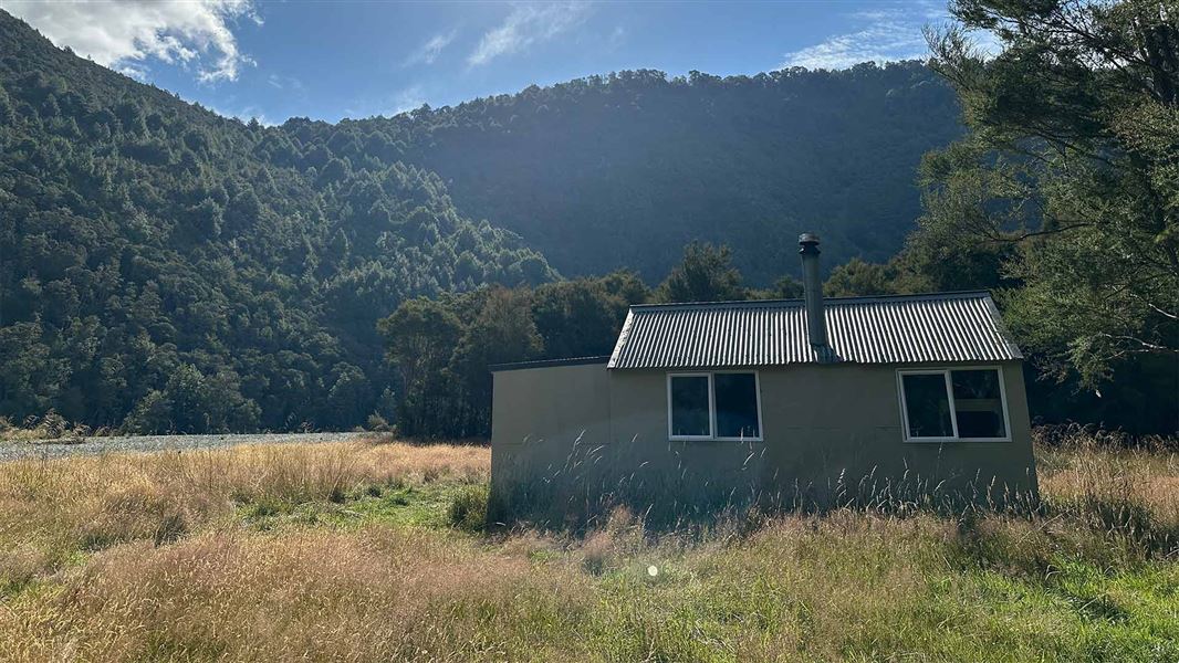
This is a standard 8-bunk hut in the South Marlborough area.
On the way here
Alpine Route
Tarn Hut to Goulter road end
Time: 5-6 hr
At the sign-posted junction shortly before Bushy Top (see above), the left-hand branch leads to the Goulter road end. The track climbs over Bushy Top (1257 m) before descending down a prominent spur to the Goulter River opposite the Lower Goulter Hut. The river is not bridged and no attempts should be made to cross it while in flood. From the hut, the track carries on for 45 minutes to a 4WD road end. It is a further two hours to Tiphead Stream, which is generally accessible to two-wheel drive vehicles. Check the status of this road if you plan to use this exit. As of July 2023, the road was shut from Patriarch Station due to multiple washouts. It is approximately 14 km from the Goulter car park back to the gate at Patriarch station. Walkers should allow an extra one to two hours if starting the trip from the Goulter.
Source: DOC Te Papa Atawhai.
Know before you go
Flood risk
This hut has a history of flood inundation during extreme weather events. It is recommended that visitors avoid staying at Lower Goulter Hut if storm or extreme weather is forecast for the area.
Source: DOC Te Papa Atawhai.
Fees and bookings
Before you go, buy Hut Tickets for each night's stay. Put these in the honesty box at the hut. Or buy a Backcountry Hut Pass that gives unlimited use at most Standard and Serviced huts for a 12 month period. Retailers that sell hut tickets and passes
Source: DOC Te Papa Atawhai.
Nearby stops
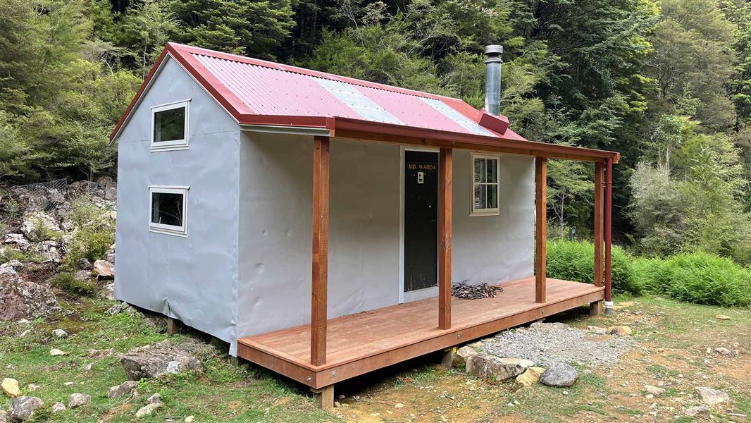
Mid Wairoa Hut
Standard • 8 bunks • Tasman • 6.5 km
Mid Wairoa Hut is a standard 8-bunk hut located in the Motueka area of the Tasman region.
Heating • Mattresses • Toilets - non-flush
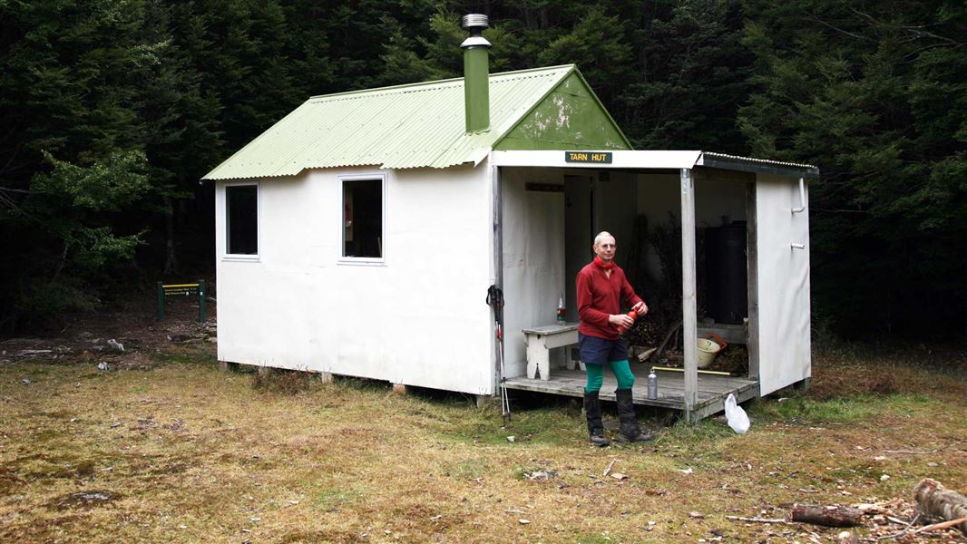
Tarn Hut
Standard • 5 bunks • Marlborough • 6.8 km
Tarn Hut is a standard five-bunk hut located in the South Marlborough area.
Heating • Mattresses • Toilets - non-flush
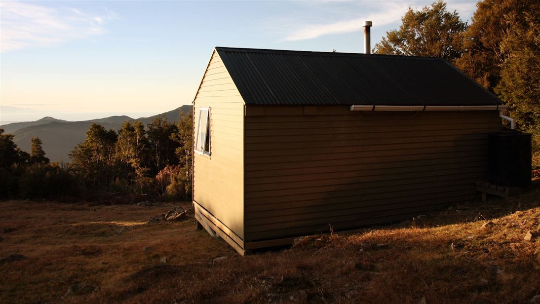
Mt Rintoul Hut
Standard • 6 bunks • Marlborough • 11 km
Mt Rintoul Hut is a standard six-bunk hut located in the South Marlborough area.
Heating • Mattresses • Toilets - non-flush

Old Man Hut
Standard • 5 bunks • Marlborough • 12.5 km
Old Man Hut is a standard five-bunk hut located in the South Marlborough area.
Heating • Mattresses • Toilets - non-flush
Slaty Hut
Standard • 6 bunks • Marlborough • 16.5 km
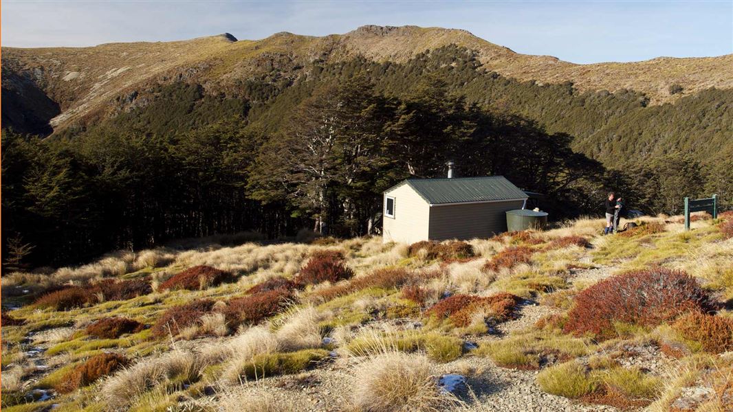
Slaty Hut is a standard six-bunk hut located in the Motueka area of the Nelson/Tasman region.
Heating • Mattresses • Toilets - non-flush
Walks nearby
Contact
Nelson/Tasman/Marlborough information
Regional DOC service centre.
Notes from people who have been
No notes yet. If you have been, say what you found.
Something missing or out of date?
Closed, moved, wrong facts, or something we have missed? Travellers keep the Road Guide up to date. Tell us what you found at contribute@parkup.nz and we will check it and add it.
Ask us to take this down
A person reads every request. We do not remove a place until we have checked it.
Sources
- OpenStreetMap Huts · ODbL (Open Database License)Contains information from OpenStreetMap, made available under the ODbL.
- DOC Huts (API) · CC BY 4.0Crown Copyright: Department of Conservation Te Papa Atawhai. Data sourced from the DOC Developer Portal (api.doc.govt.nz).
- DOC Huts · CC BY 4.0Data sourced from the Department of Conservation (DOC), New Zealand.