Lonely Lake Hut
Basic/bivvies hutKahurangi National Park, TasmanOpen
- Sleeps
- 3 bunks
- Booking
- Not bookable
- Cost
- Fee applies
- Heating
- None
- Drinking water
- Not drinkable
- Toilet
- Non-flush
Getting there
We have not checked a road end or car park for this place yet, so we do not give driving directions to it. Check how to get there before you go. Some routes cross private land and need the landowner's permission.
How to get there, on doc.govt.nz- Topo map
- Topo50 sheet BP23
- Grid reference
- E1562830, N5463087
Source: DOC Te Papa Atawhai.
Map and tracks
Track lines: DOC Te Papa Atawhai. Map data © OpenStreetMap contributors. Topo map: LINZ, CC BY 4.0. 40.98262° S, 172.55810° E
About this place
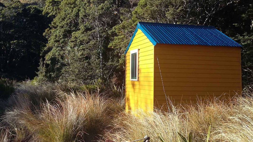
This is a basic 3-bunk hut in the Golden Bay area.
On the way here
Douglas Range · 5-7 days
Boulder Lake Hut to Adelaide Tarn Hut (5-6 hr)
This section of the route requires a high degree of off-track experience and fitness. It is not for the inexperienced and is very exposed to harsh weather conditions. Streams and rivers are not bridged. Carry gas or liquid fuel cookers as wood fuel is unavailable at Adelaide Tarn and Lonely Lake huts, and a tent as these huts have limited sleeping space. From Boulder Lake Hut continue up the valley to pick up rock cairns that lead up the only tussock spur to Green Saddle. There is an optional sidle to the left into Green Saddle, starting above the bush edge in this spur. Continue to the next small saddle before and under point 1450 metres. Here two large rock cairns on a quartz outcrop mark the first two sidles on the Anatoki side of this main ridge to the Needles Eye. The first sidle is on a cairned animal track passing under point 1450 metres, then it gains and follows the stunted bush ridge to the second sidle under points 1411 metres and 1488 metres. Descend and sidle through the bush on a marked animal track to pick up cairns across a tussock face under the obvious rock ribs. This then leads to the top of the first finger of bush in a narrow gut under the Needles Eye. Climb this flax-filled gut to the Needles Eye (saddle). From the Eye descend directly onto a short tussock spur to an obvious track and terrace that leads towards Adelaide Tarn and hut. Do not attempt to sidle from the Eye around the Needle to the hut - it is steep and bluffed.
Lonely Lake Hut to Adelaide Tarn Hut (8-10 hr)
All Grid References refer to map BP23 Gouland Downs. From the hut head north up a small gully to a saddle north-west of the Drunken Sailors. From here sidle eastwards on the northern side of the Drunken Sailors to an open spur. Follow this spur north-eastwards to Grid Reference 636 642. From here follow the long ridge that drops to the north-east into the Anatoki River, arriving at Grid Reference 640 652. From here, head up the Anatoki River to the forks at Grid Reference 626 665. Take the west branch of the river and follow it upstream until below the bluffs north-east of the Dragons Teeth. From here, climb northwards up a steep gut to emerge on the saddle east of Mt Douglas, Grid Reference 614 672. Proceed north-east down into the basin to Adelaide Tarn and Adelaide Tarn Hut.
Adelaide Tarn Hut to Lonely Lake Hut (8-10 hr)
All Grid References refer to map BP23 Gouland Downs. From Adelaide Tarn climb up behind the hut to the saddle directly east of Mt Douglas, Grid Reference 614 672. A steep gut marked with a rock cairn gives access to the headwaters of the Anatoki River. Once in the bush at the base of this gut, head further southward until below the bluffs under the Dragons Teeth. From here veer eastwards following the course of the stream which becomes the Anatoki River. Follow the Anatoki River downstream to Grid Reference 640 652. From this point climb the ridge to the south-west and emerge on an open ridge east of the Drunken Sailors. From here sidle on the north side of the Drunken sailors to pick up the cairns leading into a saddle and down to Lonely Lake Hut.
Lonely Lake Hut to Fenella Hut (6-8 hr)
From Lonely Lake Hut follow the non-maintained track that sidles up through bush onto the Douglas Range and the open ridge line. Follow the ridge, with the occasional optional sidle on animal tracks. Sidle across the scree under Kakapo Peak and regain the ridge, and then follow the cairned route that sidles below point 1550 metres and Waingaro Peak to reach a bushed spur. Continue down a well-marked track to Fenella Hut. Note: The route from Lonely Lake to Waingaro Peak is cairned.
Source: DOC Te Papa Atawhai.
Fees and bookings
Free
Source: DOC Te Papa Atawhai.
Nearby stops
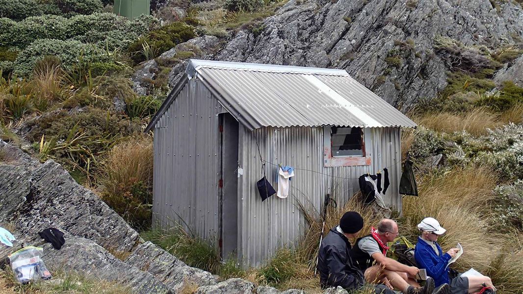
Adelaide Tarn Hut
Basic/bivvies • 4 bunks • Tasman • 4.6 km
Adelaide Tarn Hut is a basic four-bunk hut located in the Golden Bay area of the Tasman region.
Toilets - non-flush • Water from stream • Water supply
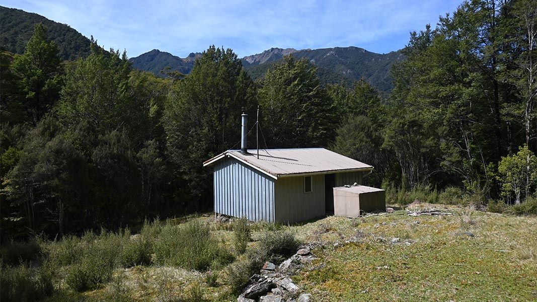
Anatoki Forks Hut
Standard • 6 bunks • Tasman • 6.4 km
Anatoki Forks Hut is a standard six-bunk hut located in the Golden Bay area of the Tasman region.
Heating • Mattresses • Toilets - non-flush
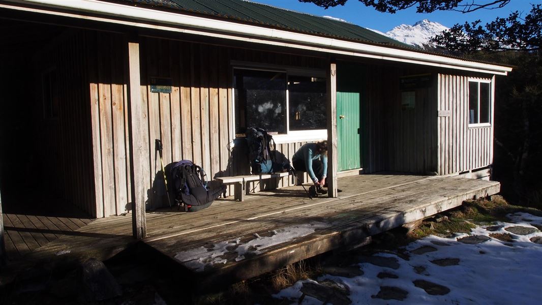
Fenella Hut
Serviced • 12 bunks • Tasman • 7.9 km
Fenella Hut is a serviced 12-bunk hut located in the Golden Bay area of the Tasman region.
Cooking • Heating • Mattresses
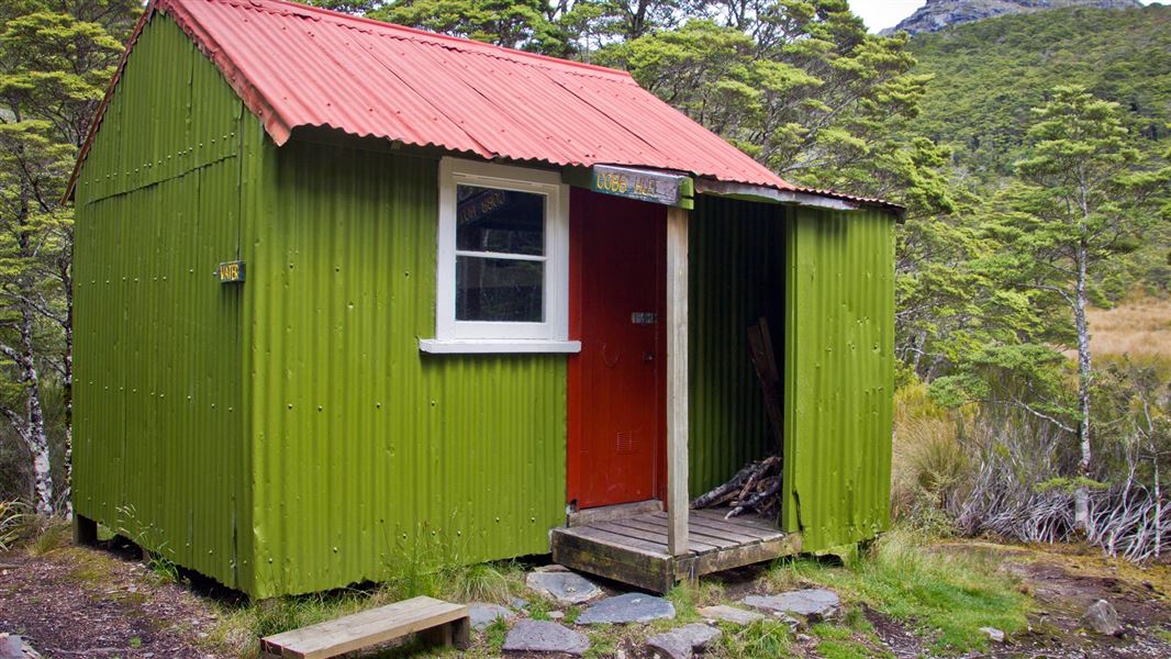
Cobb Hut
Basic/bivvies • 4 bunks • Tasman • 8.6 km
Cobb Hut is a basic four-bunk hut located in the Golden Bay area of the Tasman region.
Mattresses • Toilets - non-flush • Water from stream
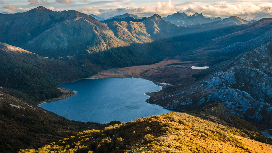
Boulder Lake Hut
Standard • 8 bunks • Tasman • 9.3 km
Boulder Lake Hut is a standard eight-bunk hut located in the Golden Bay area of the Tasman region.
Heating • Mattresses • Toilets - non-flush
Contact
Nelson/Tasman/Marlborough information
Regional DOC service centre.
Notes from people who have been
No notes yet. If you have been, say what you found.
Something missing or out of date?
Closed, moved, wrong facts, or something we have missed? Travellers keep the Road Guide up to date. Tell us what you found at contribute@parkup.nz and we will check it and add it.
Ask us to take this down
A person reads every request. We do not remove a place until we have checked it.
Sources
- DOC Huts (API) · CC BY 4.0Crown Copyright: Department of Conservation Te Papa Atawhai. Data sourced from the DOC Developer Portal (api.doc.govt.nz).
- DOC Huts · CC BY 4.0Data sourced from the Department of Conservation (DOC), New Zealand.
- OpenStreetMap Huts · ODbL (Open Database License)Contains information from OpenStreetMap, made available under the ODbL.