Boulder Lake Hut
Standard hutKahurangi National Park, TasmanOpen
Current advisories
Predator control in Parapara area of Kahurangi National Park
23 September 2026
A predator control operation using toxic bait containing 1080 was completed on 24 September 2026. The Parapara area of Kahurangi National Park is open to the public with warning signs in place at key entrances. There may be toxic carcasses and bait (green coloured pellets) in the area. It’s not safe to hunt for food in this area for up to 8 months. Warning signs and this web alert will be removed when the area is safe again. This operation is part of DOC's National Predator Control Programme to protect native species. First published on 11 May 2026. Last reviewed on 24 September 2026.
Source: DOC Te Papa Atawhai alerts.
- Sleeps
- 8 bunks
- Booking
- Not bookable
- Cost
- from $15
- Heating
- Yes
- Drinking water
- Not drinkable
- Toilet
- Non-flush
Getting there
We have not checked a road end or car park for this place yet, so we do not give driving directions to it. Check how to get there before you go. Some routes cross private land and need the landowner's permission.
How to get there, on doc.govt.nz- Topo map
- Topo50 sheet BP24
Source: DOC Te Papa Atawhai.
Map and tracks
Track lines: DOC Te Papa Atawhai. Map data © OpenStreetMap contributors. Topo map: LINZ, CC BY 4.0. 40.90013° S, 172.57873° E
About this place
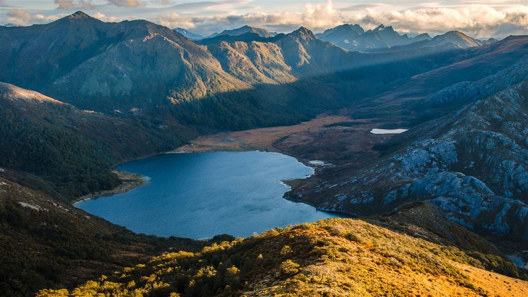
This is a standard 8-bunk hut in the Golden Bay area.
On the way here
Douglas Range · 5-7 days
Road end to Boulder Lake Hut (8-10 hr)
The track starts just across the paddock behind the intentions shelter. The first 6 km to Lookout Knob is a gradual climb through regenerating low forest, before a transition to mature forest and then limestone-capped country. There are some challenging limestone slots to cross here, with steep drops – go slowly and take care to avoid falling. The track then continues to climb through beech and manuka forest, passing Beathams Clearing. There is sometimes a water source here. The track then sildes along the left side of the Pulpit and emerges at the open Cow Saddle. From Cow Saddle, the track is fully exposed to the weather conditions and follows a poled route to Boulder Lake. It sidles around to the right, to a point beside a small outcrop on the skyline ridge. Continue to sidle under the bluffs of Brown Cow, crossing the top of a steep shingle scree slope and then descend on a tussock spur to the lake. This sidle and particularly the scree crossing is an avalanche hazard in winter and a fall risk at all times. Once at the lake, continue around the eastern edge of the lake to Boulder Lake Hut. Water is an issue on this track. There is a small stream 30 min from the start, then no reliable water sources until you reach Boulder Lake. Make sure to carry enough for your needs, we recommend 2-3 L per person. Many parties also underestimate the time required for this section, so start early and/or carry camping gear to stay overnight.
Boulder Lake Hut to Adelaide Tarn Hut (5-6 hr)
This section of the route requires a high degree of off-track experience and fitness. It is not for the inexperienced and is very exposed to harsh weather conditions. Streams and rivers are not bridged. Carry gas or liquid fuel cookers as wood fuel is unavailable at Adelaide Tarn and Lonely Lake huts, and a tent as these huts have limited sleeping space. From Boulder Lake Hut continue up the valley to pick up rock cairns that lead up the only tussock spur to Green Saddle. There is an optional sidle to the left into Green Saddle, starting above the bush edge in this spur. Continue to the next small saddle before and under point 1450 metres. Here two large rock cairns on a quartz outcrop mark the first two sidles on the Anatoki side of this main ridge to the Needles Eye. The first sidle is on a cairned animal track passing under point 1450 metres, then it gains and follows the stunted bush ridge to the second sidle under points 1411 metres and 1488 metres. Descend and sidle through the bush on a marked animal track to pick up cairns across a tussock face under the obvious rock ribs. This then leads to the top of the first finger of bush in a narrow gut under the Needles Eye. Climb this flax-filled gut to the Needles Eye (saddle). From the Eye descend directly onto a short tussock spur to an obvious track and terrace that leads towards Adelaide Tarn and hut. Do not attempt to sidle from the Eye around the Needle to the hut - it is steep and bluffed.
Source: DOC Te Papa Atawhai.
Fees and bookings
Before you go, buy Hut Tickets for each night's stay. Put these in the honesty box at the hut. Or buy a Backcountry Hut Pass that gives unlimited use at most Standard and Serviced huts for a 12 month period. Retailers that sell hut tickets and passes
Source: DOC Te Papa Atawhai.
Nearby stops
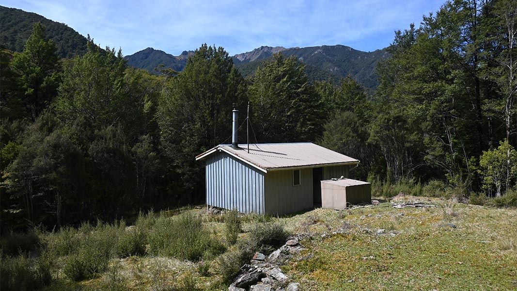
Anatoki Forks Hut
Standard • 6 bunks • Tasman • 5 km
Anatoki Forks Hut is a standard six-bunk hut located in the Golden Bay area of the Tasman region.
Heating • Mattresses • Toilets - non-flush
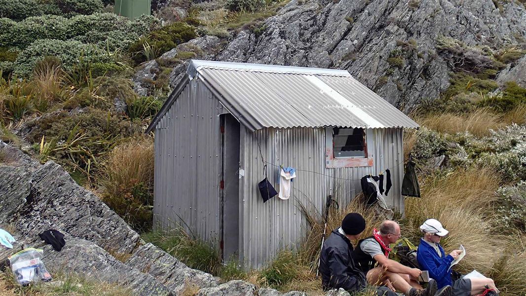
Adelaide Tarn Hut
Basic/bivvies • 4 bunks • Tasman • 5.6 km
Adelaide Tarn Hut is a basic four-bunk hut located in the Golden Bay area of the Tasman region.
Toilets - non-flush • Water from stream • Water supply
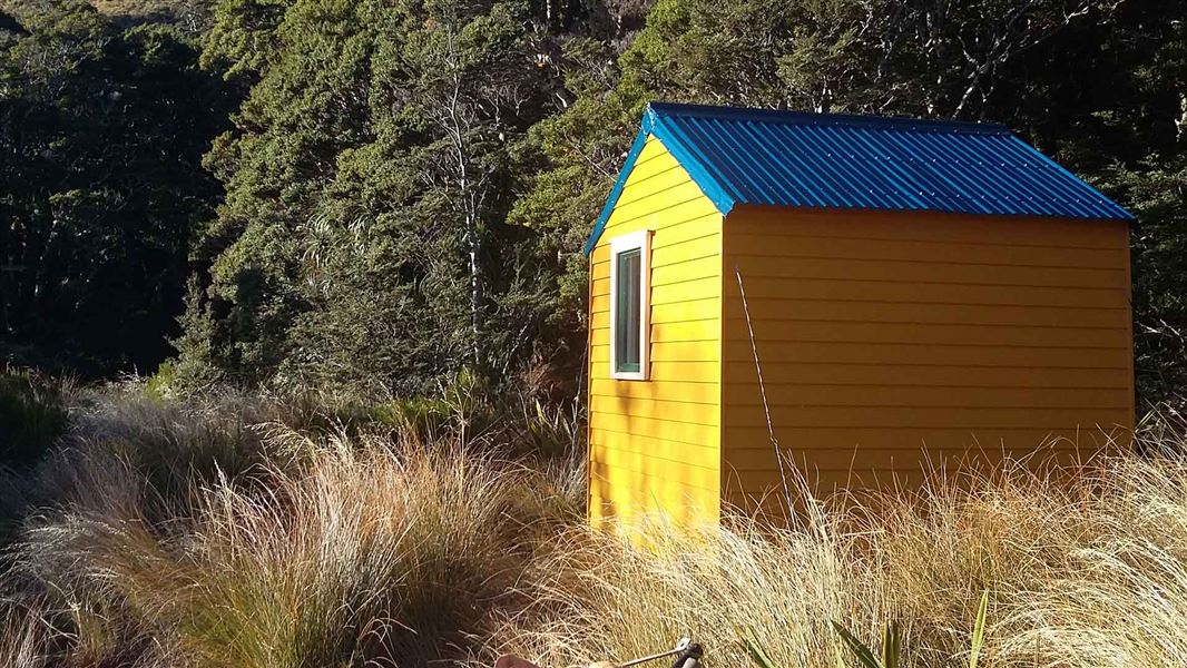
Lonely Lake Hut
Basic/bivvies • 3 bunks • Tasman • 9.3 km
Lonely Lake Hut is a basic three-bunk hut located in the Golden Bay area of the Tasman region.
Toilets - non-flush • Water from stream • Water supply
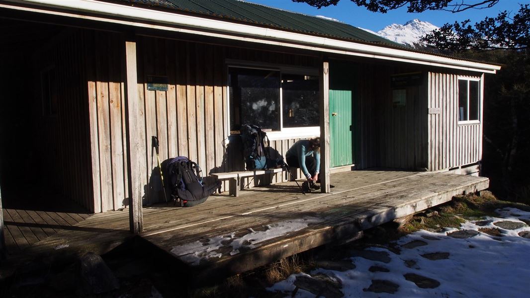
Fenella Hut
Serviced • 12 bunks • Tasman • 17.2 km
Fenella Hut is a serviced 12-bunk hut located in the Golden Bay area of the Tasman region.
Cooking • Heating • Mattresses
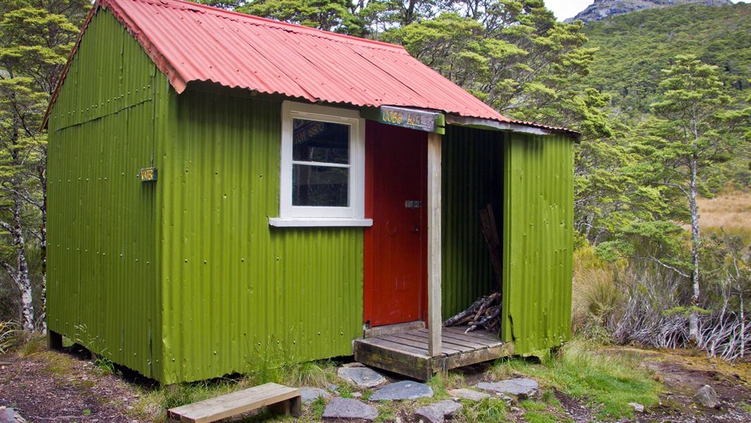
Cobb Hut
Basic/bivvies • 4 bunks • Tasman • 17.9 km
Cobb Hut is a basic four-bunk hut located in the Golden Bay area of the Tasman region.
Mattresses • Toilets - non-flush • Water from stream
Walks nearby
Contact
Nelson/Tasman/Marlborough information
Regional DOC service centre.
Notes from people who have been
No notes yet. If you have been, say what you found.
Something missing or out of date?
Closed, moved, wrong facts, or something we have missed? Travellers keep the Road Guide up to date. Tell us what you found at contribute@parkup.nz and we will check it and add it.
Ask us to take this down
A person reads every request. We do not remove a place until we have checked it.
Sources
- DOC Huts · CC BY 4.0Data sourced from the Department of Conservation (DOC), New Zealand.
- DOC Huts (API) · CC BY 4.0Crown Copyright: Department of Conservation Te Papa Atawhai. Data sourced from the DOC Developer Portal (api.doc.govt.nz).
- OpenStreetMap Huts · ODbL (Open Database License)Contains information from OpenStreetMap, made available under the ODbL.