Little Mt Peel/Huatekerekere tracks
WalkCanterbury
- Grade
- Advanced
- Walking time
- 7 hr
- Dogs
- No dogs
Getting there
We have not checked a road end or car park for this place yet, so we do not give driving directions to it. Check how to get there before you go. Some routes cross private land and need the landowner's permission.
How to get there, on doc.govt.nz9.5 km north of Geraldine, turn off SH72 (Inland Scenic Route) onto Peel Forest Road and follow this for 13 km. Turn into Blandswood Road and follow this for 2 km to the junction with Lookout Road. Park in the car park at the junction.
Walk a short distance up Lookout Road to the start. Note, Lookout Road isn't suitable for parking.
Source: DOC Te Papa Atawhai.
Map
Map data © OpenStreetMap contributors. Topo map: LINZ, CC BY 4.0. 43.89619° S, 171.22768° E
About this place
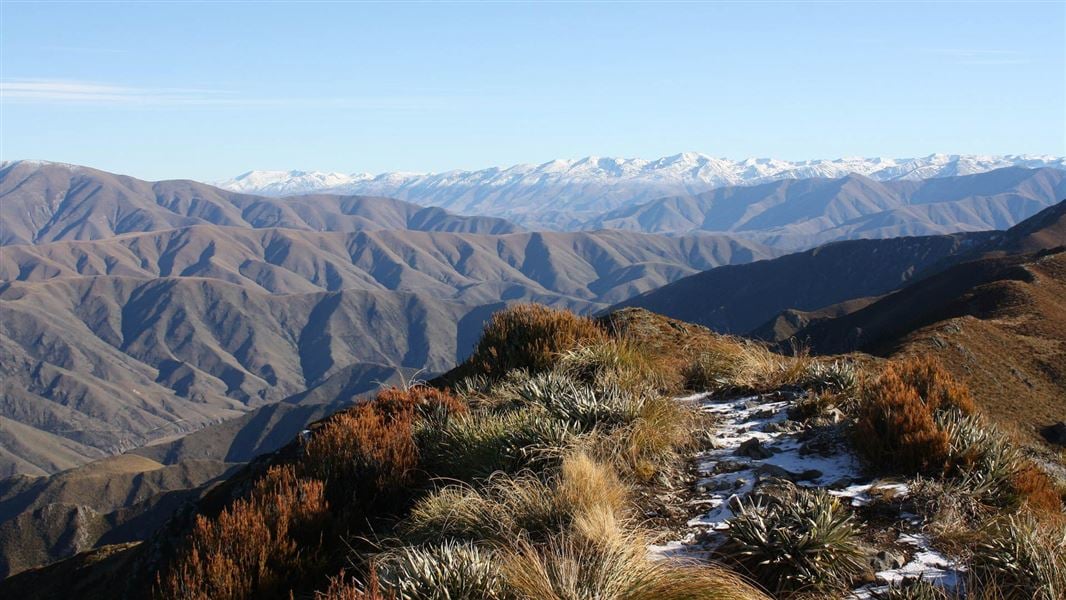
Climb one of the most popular peaks in Canterbury for magnificent views to Mt Somers, Mt Hutt and across the plains to the coast.
The route
Little Mt Peel/Huatekerekere via Deer Spur
Time: 2–3 hr one way
4.6 km one way From the car park at Blandswood, walk up the steep Blandswood Lookout Road to the top. Follow Fern Walk for about 350 m before turning left onto Deer Spur Track. The track follows a ridge up to the summit (1311 m). There are magnificent views of Mt Somers, Mt Hutt and across the plains to the coast. Tristam Harper Memorial Shelter is just below the summit. This track has steep sections and wooden boardwalks. These can be slippery when wet or icy. We recommend wearing hiking boots so you don’t slip.
Little Mt Peel/Huatekerekere via South Ridge Track
Time: 3 hr 30 min one way
3.5 km one way An alternative to climbing or descending Little MtPeel/Huatekerekere from Deer Spur is to use the South Ridge Track. The South Ridge is steep and involves a couple of rocky scrambles. South Ridge Track connects with Deer Spur at the top of the mountain and Emily Falls Track near the bottom. When descending from Little Mt Peel/Huatekerekere keep to the ridge until the track sign shows the route down a tussock-covered spur to the bushline and Emily Stream.
Source: DOC Te Papa Atawhai.
Know before you go
Weather
These are alpine summits and the weather can be very different from at road level – take appropriate clothing and equipment. This track has steep sections and wooden boardwalks. These can be slippery when wet or icy. We recommend wearing hiking boots so you don’t slip.
Source: DOC Te Papa Atawhai.
Nearby stops
Tristram Harper Memorial Shelter
Canterbury • 2.1 km
The Tristram Harper Memorial Shelter is a hut located in the Canterbury region. The provided records do not include further details regarding its facilities or…
Clarkes Flat
Canterbury • 3.2 km
Clarkes Flat is a campsite located in the Canterbury region of New Zealand. The available records provide no further details regarding specific facilities or…

Peel Forest Campground
Serviced • Canterbury • 3.2 km
Peel Forest Campground is located in Canterbury and offers campsites and four cabins. The site sits within Peel Forest, a remnant of the podocarp forest that…
Cookers/electric stove • Non-powered/tent sites • Phone
Bottom Mount Peel Hut
Canterbury • 10.2 km
Bottom Mount Peel Hut is a backcountry hut located in the Canterbury region of New Zealand. The available records provide no further details regarding its…
Arundel Bridge campsite
Canterbury • 10.3 km
Arundel Bridge campsite is a camping area located in the Canterbury region of New Zealand. The provided records do not list specific facilities or additional…
Walks nearby
Emily Falls Track
Easy • 45 min one way • 1.6 km • 0.18 km away
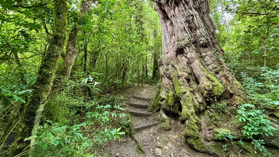
Dennistoun Bush Walk
Easy • 1 hr return • 1.8 km • 1.55 km away
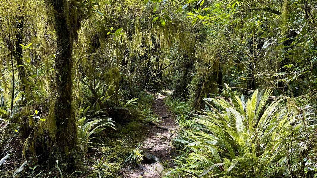
The Fern Walk
Easy • 1 hr 30 min • 3.3 km • 1.7 km away
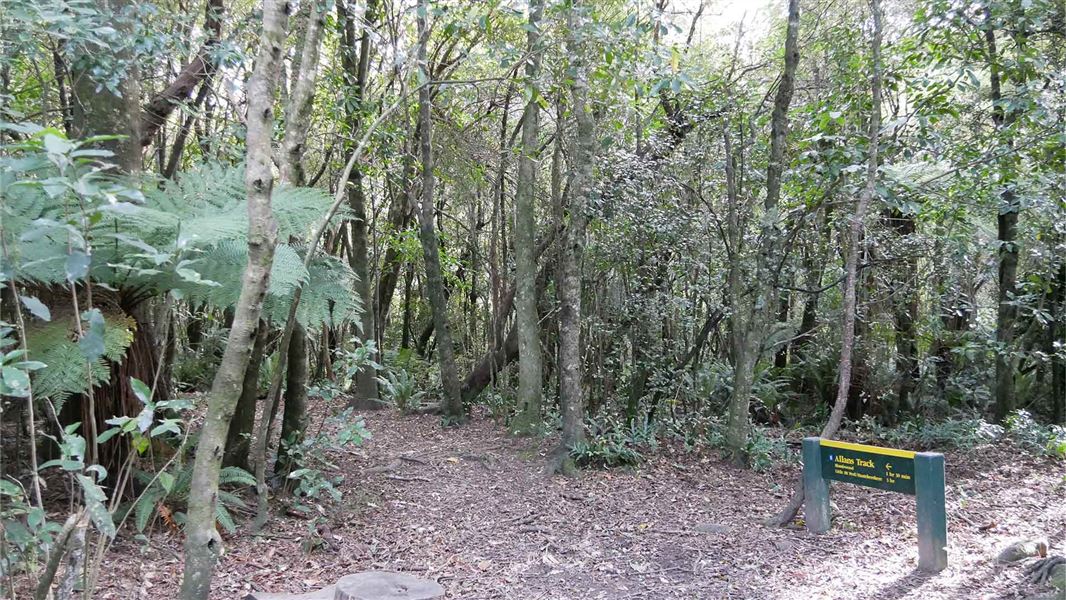
Allans Track
Advanced • 2 hr • 2.6 km one way (return via Fern Walk is 7 km and 4 hr) • 1.92 km away
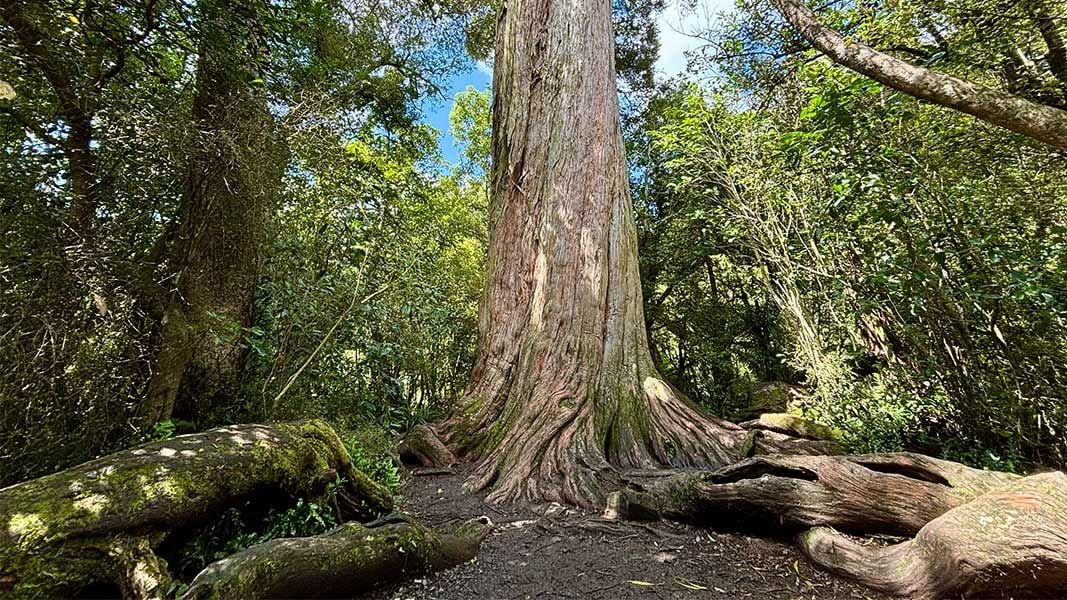
Big Tree Walk
Easiest • 15 min • 870 m • 2.43 km away
Notes from people who have been
No notes yet. If you have been, say what you found.
Something missing or out of date?
Closed, moved, wrong facts, or something we have missed? Travellers keep the Road Guide up to date. Tell us what you found at contribute@parkup.nz and we will check it and add it.
Ask us to take this down
A person reads every request. We do not remove a place until we have checked it.
Sources
- DOC Tracks (API) · CC BY 4.0Crown Copyright: Department of Conservation Te Papa Atawhai. Data sourced from the DOC Developer Portal (api.doc.govt.nz).