Emily Falls Track
WalkCanterburyOpen
- Grade
- Easy
- Walking time
- 45 min
- Distance
- 1.6 km
- Dogs
- No dogs
Getting there
We have not checked a road end or car park for this place yet, so we do not give driving directions to it. Check how to get there before you go. Some routes cross private land and need the landowner's permission.
How to get there, on doc.govt.nz9.5 km north of Geraldine, turn off SH72 (Inland Scenic Route) onto Peel Forest Road and follow this for 13 km. Turn into Blandswood Road and follow this for 2 km to the junction with Lookout Road. Park in the car park at the junction.
Walk a short distance up Lookout Road to the start. Note, Lookout Road isn't suitable for parking.
Source: DOC Te Papa Atawhai.
Map
Map data © OpenStreetMap contributors. Topo map: LINZ, CC BY 4.0. 43.89697° S, 171.22963° E
Got a good photo of this place? Send it to us and we will show it with your name.
About this place
This walk leads to Emily Falls.
The route
This track starts a little way up the steep Blandswood Lookout Road on the left. After a steeper section the track forks left down to Rata Stream. Follow the stream down for 100 m then exit right back onto the track. This track crosses another small stream before descending steeply to Emily Stream at the base of the falls. Rata Stream and Emily Stream can flood and become impassable. Always assess the streams carefully before crossing and do not attempt to cross a flooded stream. Supervise children carefully. The rocks in the stream can be slippery. We recommend wearing sturdy footwear with good grip. The stream and falls are named after Emily Acland, wife of J B Acland and daughter of Bishop Harper, the first bishop of Christchurch, and a keen mountaineer.
Source: DOC Te Papa Atawhai.
Know before you go
Stay safe when crossing rivers and streams
If you plan to cross unbridged rivers or side streams, know how to cross safely and be prepared for if you cannot cross. Do not cross if the river or stream is flooded, you cannot find safe entry and exit points or are unsure it’s safe. Turn back or wait for the river to drop. If in doubt, stay out. How to cross rivers safely NIWA river flow forecasts: View a video of national followed by regional river flows
Source: DOC Te Papa Atawhai.
Nearby stops
Tristram Harper Memorial Shelter
Canterbury • 2.2 km
The Tristram Harper Memorial Shelter is a hut located in the Canterbury region. The provided records do not include further details regarding its facilities or…

Peel Forest Campground
Serviced • Canterbury • 3 km
Peel Forest Campground is located in Canterbury and offers campsites and four cabins. The site sits within Peel Forest, a remnant of the podocarp forest that…
Cookers/electric stove • Non-powered/tent sites • Phone
Clarkes Flat
Canterbury • 3.1 km
Clarkes Flat is a campsite located in the Canterbury region of New Zealand. The available records provide no further details regarding specific facilities or…
Arundel Bridge campsite
Canterbury • 10.1 km
Arundel Bridge campsite is a camping area located in the Canterbury region of New Zealand. The provided records do not list specific facilities or additional…
Bottom Mount Peel Hut
Canterbury • 10.4 km
Bottom Mount Peel Hut is a backcountry hut located in the Canterbury region of New Zealand. The available records provide no further details regarding its…
Walks nearby
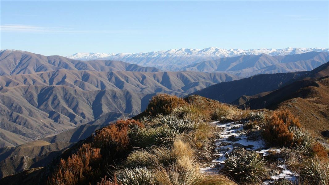
Little Mt Peel/Huatekerekere tracks
Advanced • 4–7 hr return • 0.18 km away
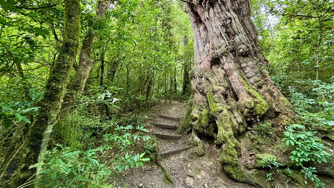
Dennistoun Bush Walk
Easy • 1 hr return • 1.8 km • 1.37 km away
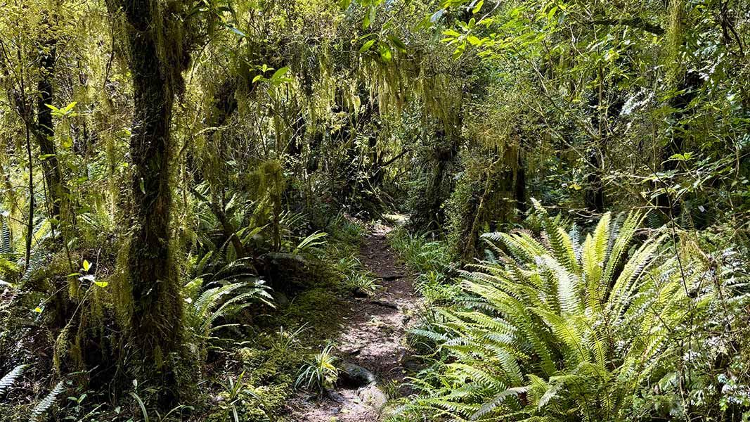
The Fern Walk
Easy • 1 hr 30 min • 3.3 km • 1.54 km away
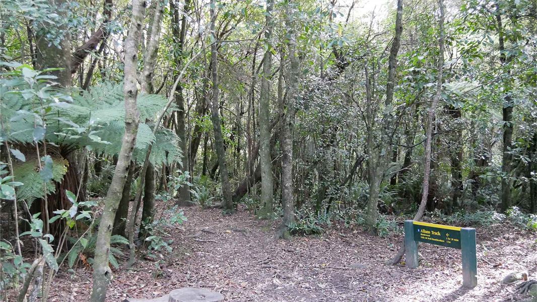
Allans Track
Advanced • 2 hr • 2.6 km one way (return via Fern Walk is 7 km and 4 hr) • 1.83 km away
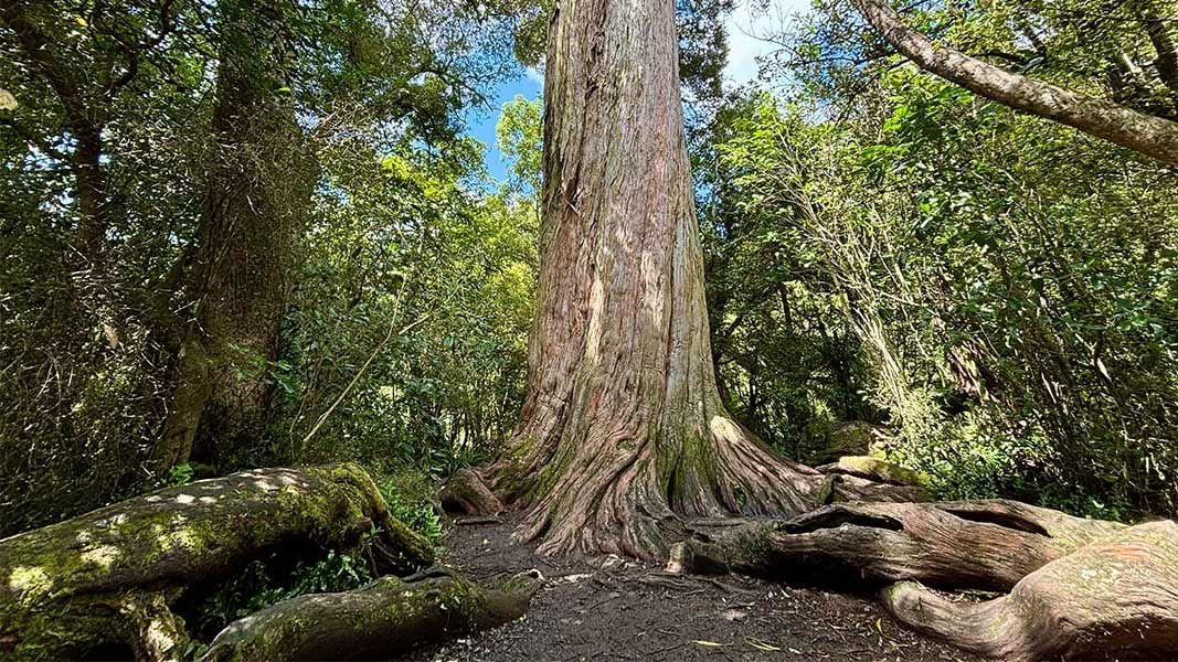
Big Tree Walk
Easiest • 15 min • 870 m • 2.28 km away
Notes from people who have been
No notes yet. If you have been, say what you found.
Something missing or out of date?
Closed, moved, wrong facts, or something we have missed? Travellers keep the Road Guide up to date. Tell us what you found at contribute@parkup.nz and we will check it and add it.
Ask us to take this down
A person reads every request. We do not remove a place until we have checked it.
Sources
- DOC Tracks & Trails · CC BY 4.0Data sourced from the Department of Conservation (DOC), New Zealand.
- OpenStreetMap Trails · ODbL (Open Database License)Contains information from OpenStreetMap, made available under the ODbL.
- DOC Tracks (API) · CC BY 4.0Crown Copyright: Department of Conservation Te Papa Atawhai. Data sourced from the DOC Developer Portal (api.doc.govt.nz).