Lake Gault Track
WalkWest CoastOpen
- Grade
- Easy
- Walking time
- 3 hr
- Distance
- 8 km
- Route
- Return
- Dogs
- No dogs
Access: read before you go
Flying a drone without a permit is strictly prohibited. Drone use on conservation land
Source: DOC Te Papa Atawhai.
Getting there
We have not checked a road end or car park for this place yet, so we do not give driving directions to it. Check how to get there before you go. Some routes cross private land and need the landowner's permission.
How to get there, on doc.govt.nzMap
Map data © OpenStreetMap contributors. Topo map: LINZ, CC BY 4.0. 43.43596° S, 169.97810° E
About this place
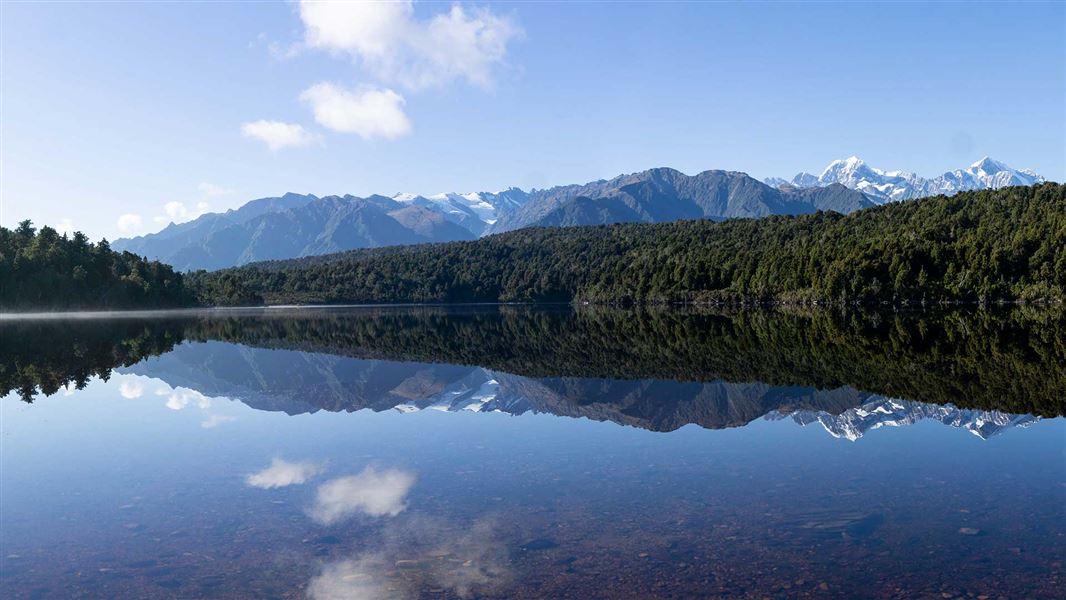
A gradual climb on a historical tramping track through ancient podocarp forest provides panoramic views of Aoraki /Mount Cook. On a good day, you can see the mountain landscape reflected in Lake Gault.
The route
Beginning from the Lake Matheson carpark, follow the Lake Matheson/Te Ara Kairaumati walk in an anti-clockwise direction before branching off to Lake Gault. The track gradually climbs 200 m through original podocarp forest with several small stream crossings. There is a lookout spot with a seat about half-way up the hill. It's a handy rest spot with a nice view down to the river flats. As the track flattens out, you’ll catch glimpses of Lake Gault through the vegetation. Continue several minutes to the lookout point. The lookout spot offers incredible panoramic views of the Southern Alps/Kā Tiritiri o te Moana, Aoraki/Mount Cook and Mount Tasman. On a still day, these peaks are perfectly reflected on the surface of Lake Gault. There is a shelter with two picnic tables at the lookout. At the lookout you'll find information panels about the view, history and nature in the area. Early morning is the best time for mirror views, when the lake is calm and before clouds obscure the mountains.
Source: DOC Te Papa Atawhai.
Know before you go
Be prepared
Check the current track conditions and weather forecasts on NIWA or at the Westland Tai Poutini National Park Visitor Centre and isite before starting your trip. Always take warm and waterproof clothing as the weather can change fast.
Facilities
Toilets are located at the Lake Matheson car park. There is also a composting toilet at the end of the track.
No drones
Flying a drone without a permit is strictly prohibited. Drone use on conservation land
Source: DOC Te Papa Atawhai.
Nearby stops
H. E. L. Porter Memorial Lodge
West Coast • 3.9 km
H. E. L. Porter Memorial Lodge is a hut located in the West Coast region. The provided records do not include further details about its facilities or location.
Fox Glacier Top 10 Holiday Park
West Coast • 4 km

Gillespies Beach Campsite
Standard • West Coast • 12.5 km
Gillespies Beach Campsite is located on the West Coast near an old gold mining settlement and a seal colony. Walking tracks from the site lead to historic…
Non-powered/tent sites • Shelter for cooking • Water from tap - not treated, boil before use

Chancellor Hut
Serviced Alpine • 12 bunks • West Coast • 13.4 km
Chancellor Hut is the oldest alpine hut still on its original site in the West Coast region. It was carried in piece by piece and assembled on site in the days…
Mattresses • Toilets - non-flush • Water from tap - not treated, boil before use
Walks nearby
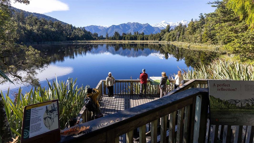
Lake Matheson/Te Ara Kairaumati Walk
Easiest • 1 hr 30 min • 4.4 km • 1.13 km away
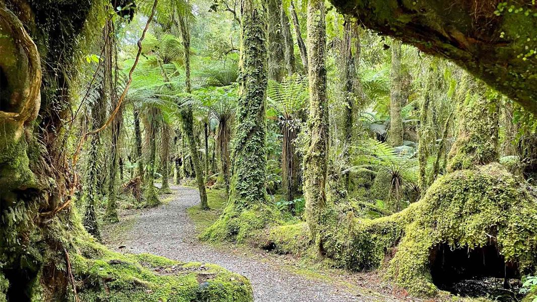
Minnehaha Walk
Easiest • 20 min • 1.2 km • 4.87 km away
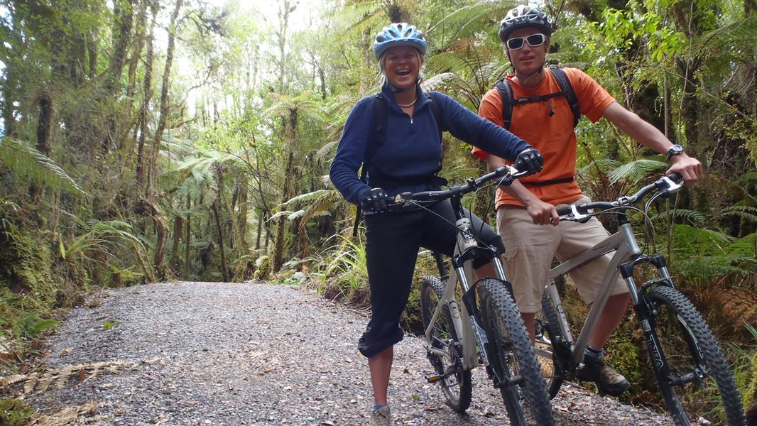
Te Weheka Walkway/Cycleway
Easy • 1 hr 20 min • 5 km • 5.57 km away
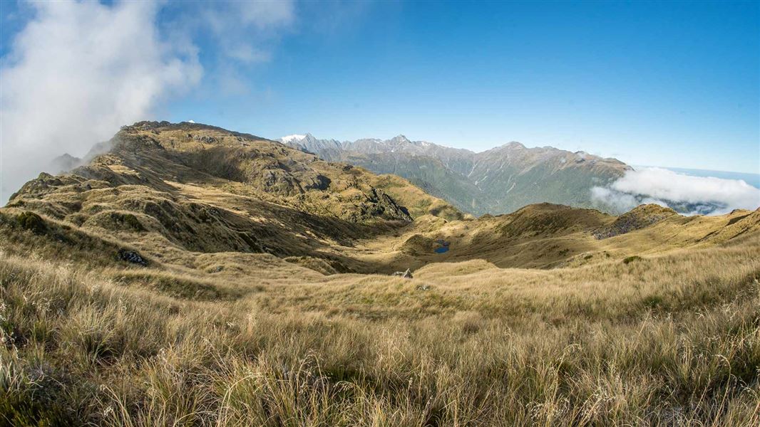
Mount Fox Route
Expert • 8 hr • 7.4 km • 6.46 km away
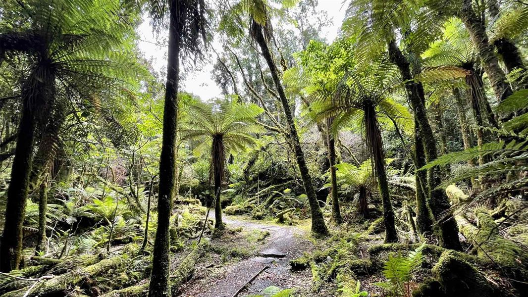
Moraine Walk
Easiest • 1 hr 30 min • 4 km • 6.54 km away
Notes from people who have been
No notes yet. If you have been, say what you found.
Something missing or out of date?
Closed, moved, wrong facts, or something we have missed? Travellers keep the Road Guide up to date. Tell us what you found at contribute@parkup.nz and we will check it and add it.
Ask us to take this down
A person reads every request. We do not remove a place until we have checked it.
Sources
- DOC Tracks (API) · CC BY 4.0Crown Copyright: Department of Conservation Te Papa Atawhai. Data sourced from the DOC Developer Portal (api.doc.govt.nz).
- DOC Tracks & Trails · CC BY 4.0Data sourced from the Department of Conservation (DOC), New Zealand.