Mount Fox Route
WalkWest Coast
- Grade
- Expert
- Walking time
- 8 hr
- Distance
- 7.4 km
- Dogs
- No dogs
Getting there
We have not checked a road end or car park for this place yet, so we do not give driving directions to it. Check how to get there before you go. Some routes cross private land and need the landowner's permission.
How to get there, on doc.govt.nzDrive south for approximately 3 km from Fox Glacier Weheka township, until you reach Thirsty Culvert. There is a small parking area on the right hand side of the road while the route starts on the left.
Source: DOC Te Papa Atawhai.
Map
Map data © OpenStreetMap contributors. Topo map: LINZ, CC BY 4.0. 43.49231° S, 169.99742° E
About this place
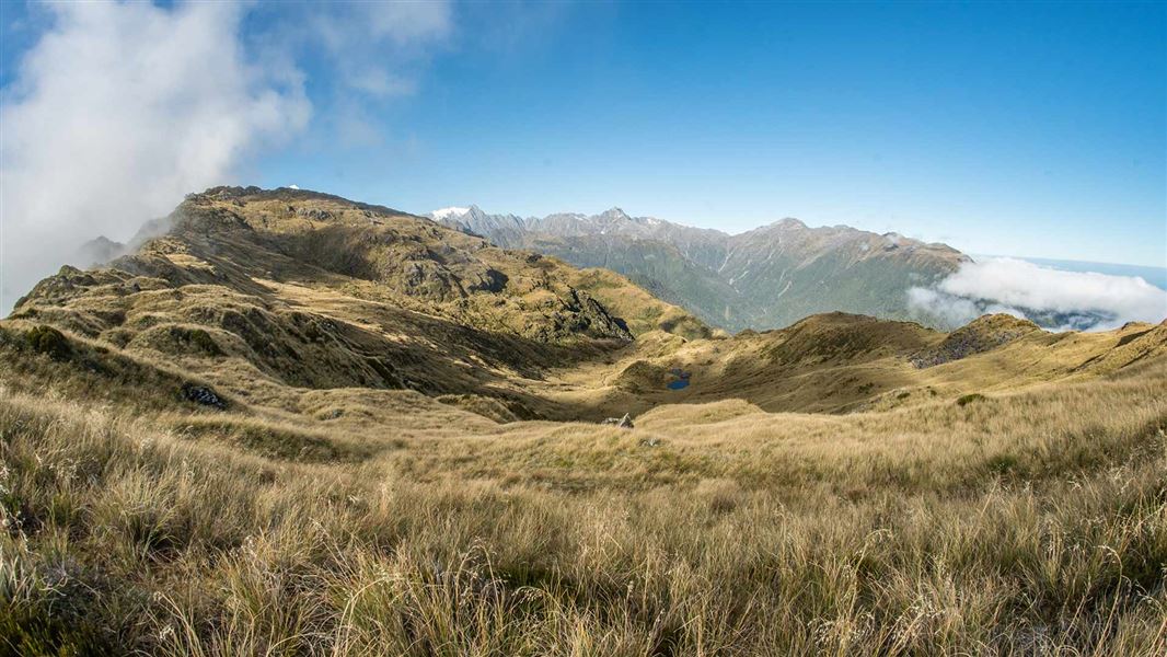
Mount Fox Route is just 3 km south of the town of Fox Glacier. The challenging climb to the top is only suitable for experienced and properly equipped trampers.
The route
For experienced and well-equipped trampers only. Check with the Westland Tai Poutini National Park Visitor Centre before starting. This rough route climbs steeply through the bush up a spur to a trig point at 1021 m above sea level. The route then follows blue and orange markers through grassland to 1345 m. From here your efforts will be well rewarded with fantastic views of the Southern Alps Kā Tiritiri o te Moana and Fox Glacier Te Moeka o Tuawe in one direction and across coastal forest and farmland to the coast to the other. Take care above the bushline as the track can easily be lost if conditions are misty or if the cloud descends. Start early in the morning to be on the mountain top before cloud rolls in obscuring the view. This is a regular event, particularly in the summer months.
Source: DOC Te Papa Atawhai.
Nearby stops
Fox Glacier Top 10 Holiday Park
West Coast • 3.2 km
H. E. L. Porter Memorial Lodge
West Coast • 3.4 km
H. E. L. Porter Memorial Lodge is a hut located in the West Coast region. The provided records do not include further details about its facilities or location.

Chancellor Hut
Serviced Alpine • 12 bunks • West Coast • 9.1 km
Chancellor Hut is the oldest alpine hut still on its original site in the West Coast region. It was carried in piece by piece and assembled on site in the days…
Mattresses • Toilets - non-flush • Water from tap - not treated, boil before use

Castle Rocks Hut
Standard • 4 bunks • West Coast • 14.3 km
Castle Rocks Hut is a standard four-bunk hut located in the Glaciers area of the West Coast.
Mattresses • Toilets - non-flush • Water from tap - not treated, boil before use

Empress Hut
Serviced Alpine • 12 bunks • Canterbury • 15.2 km
Empress Hut is a serviced 12-bunk alpine hut located in the Aoraki/Mount Cook area of Canterbury. The route to the hut is highly technical and suitable only…
Mattresses • Lighting • Toilets - non-flush
Walks nearby
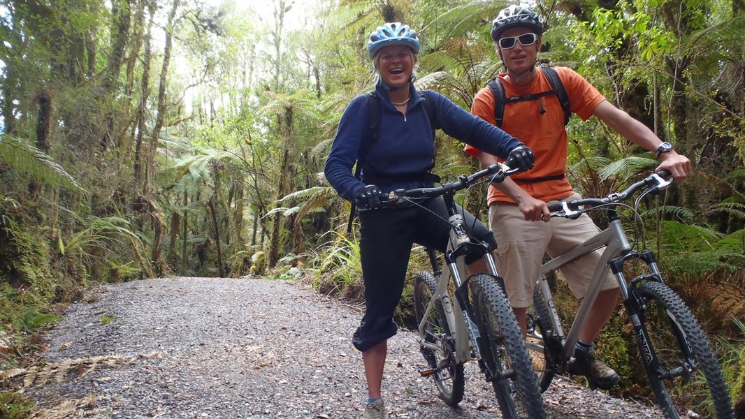
Te Weheka Walkway/Cycleway
Easy • 1 hr 20 min • 5 km • 2.26 km away
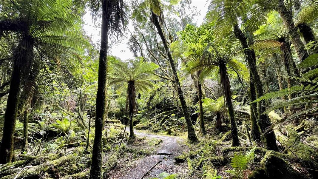
Moraine Walk
Easiest • 1 hr 30 min • 4 km • 2.33 km away
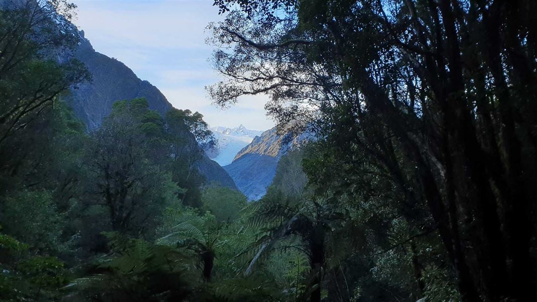
Fox Glacier South Side Walkway/Cycleway
Easy • 2 hr • 6.4 km • 2.37 km away
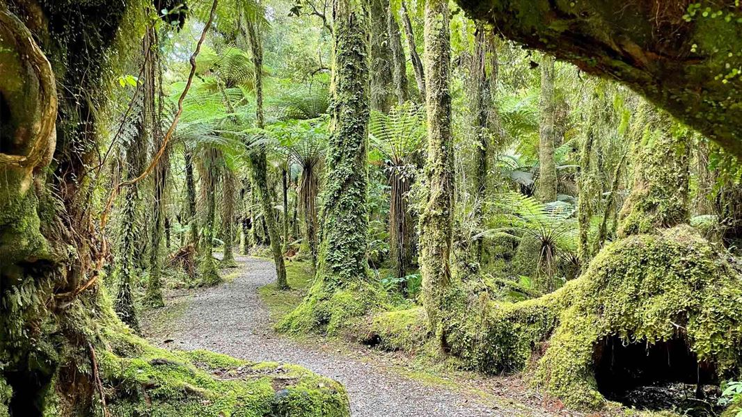
Minnehaha Walk
Easiest • 20 min • 1.2 km • 3.09 km away
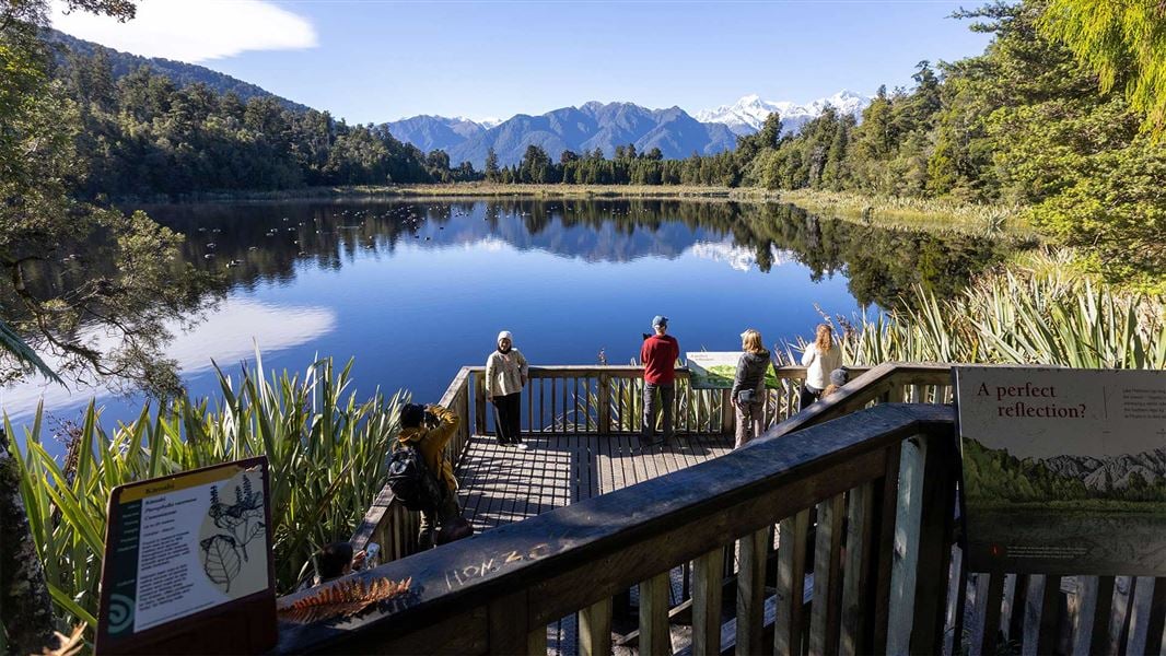
Lake Matheson/Te Ara Kairaumati Walk
Easiest • 1 hr 30 min • 4.4 km • 6.34 km away
Notes from people who have been
No notes yet. If you have been, say what you found.
Something missing or out of date?
Closed, moved, wrong facts, or something we have missed? Travellers keep the Road Guide up to date. Tell us what you found at contribute@parkup.nz and we will check it and add it.
Ask us to take this down
A person reads every request. We do not remove a place until we have checked it.
Sources
- DOC Tracks (API) · CC BY 4.0Crown Copyright: Department of Conservation Te Papa Atawhai. Data sourced from the DOC Developer Portal (api.doc.govt.nz).