Kumutoto Bay Track
WalkMarlborough
- Grade
- Easy
- Walking time
- 1 hr
- Dogs
- No dogs
Getting there
We have not checked a road end or car park for this place yet, so we do not give driving directions to it. Check how to get there before you go. Some routes cross private land and need the landowner's permission.
How to get there, on doc.govt.nzQueen Charlotte Drive, between Picton and Havelock, is the main road in the Sounds. Other roads are narrow, winding, and most are unsealed.
Water taxi services are available from Picton, Havelock, and French Pass to parts of the Sounds. You can also hire yachts, launches, motor boats, and sea kayaks.
Queen Charlotte Drive, between Picton and Havelock, is the main road in the Sounds. Other roads are narrow, winding, and most are unsealed.
Water taxi services are available from Picton, Havelock, and French Pass to parts of the Sounds. You can also hire yachts, launches, motor boats, and sea kayaks.
Source: DOC Te Papa Atawhai.
Map
Map data © OpenStreetMap contributors. Topo map: LINZ, CC BY 4.0. 41.20722° S, 174.06553° E
Got a good photo of this place? Send it to us and we will show it with your name.
About this place
This is a short walk in inner Queen Charlotte Sound.
Know before you go
Kumutoto Bay – Kumutoto West Track
The track from Kumutoto Campsite to the next bay is closed due to a large windfall and a slip. The slip is 30 metres across and has removed the track entirely in this section. Do not attempt to cross the windfall or the slip. Access to the camp and the jetty are not affected by this damage.
Water safety
If you plan to enjoy the water, learn how to stay safe when swimming, boating and fishing .
Source: DOC Te Papa Atawhai.
Nearby stops
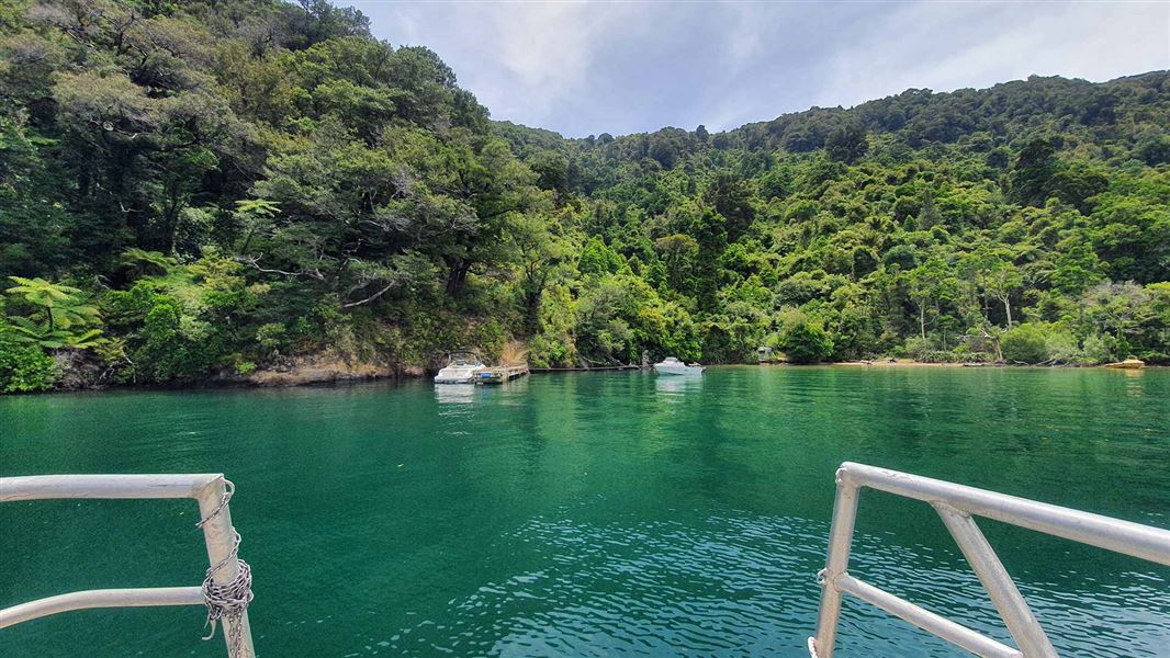
Kumutoto Bay Campsite
Backcountry • Marlborough • 0.4 km
Kumutoto Bay Campsite is a sheltered east-facing bay in the Marlborough region. It is a short walk from the water and offers opportunities for boating, water…
Jetty • Non-powered/tent sites • Water from stream
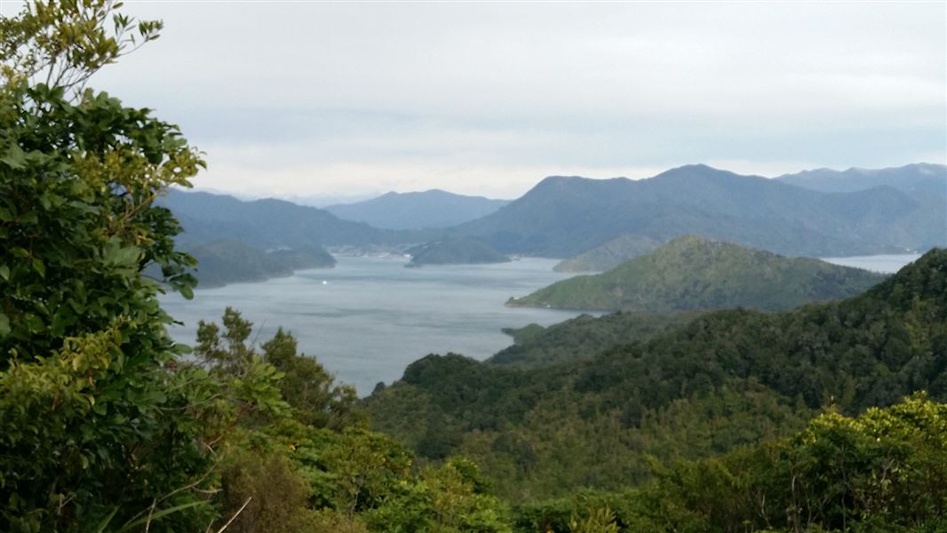
Black Rock Campsite
Backcountry • Marlborough • 0.7 km
Black Rock Campsite is a walk-in or mountain bike-in campsite located in the Marlborough Sounds. It is accessed from the Queen Charlotte Track, as there is no…
Non-powered/tent sites • Water from tap - not treated, boil before use • Toilets - non-flush
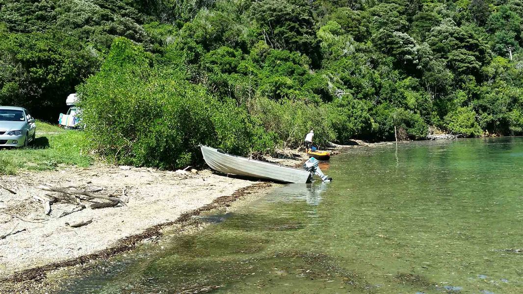
Nikau Cove Campsite
Standard • Marlborough • 1.9 km
Nikau Cove Campsite is a flat campsite located in a sheltered bay in Marlborough. It provides a suitable base for exploring the surrounding area by sea or land.
Non-powered/tent sites • Water from tap - not treated, boil before use • Toilets - non-flush
Picnic Bay Campsite
Standard • Marlborough • 2.1 km
Picnic Bay Campsite is a campsite located in the Marlborough region. The area offers opportunities for walking, sea kayaking, motor boating, fishing, and bird…
Non-powered/tent sites • Water from tap - not treated, boil before use • Toilets - non-flush
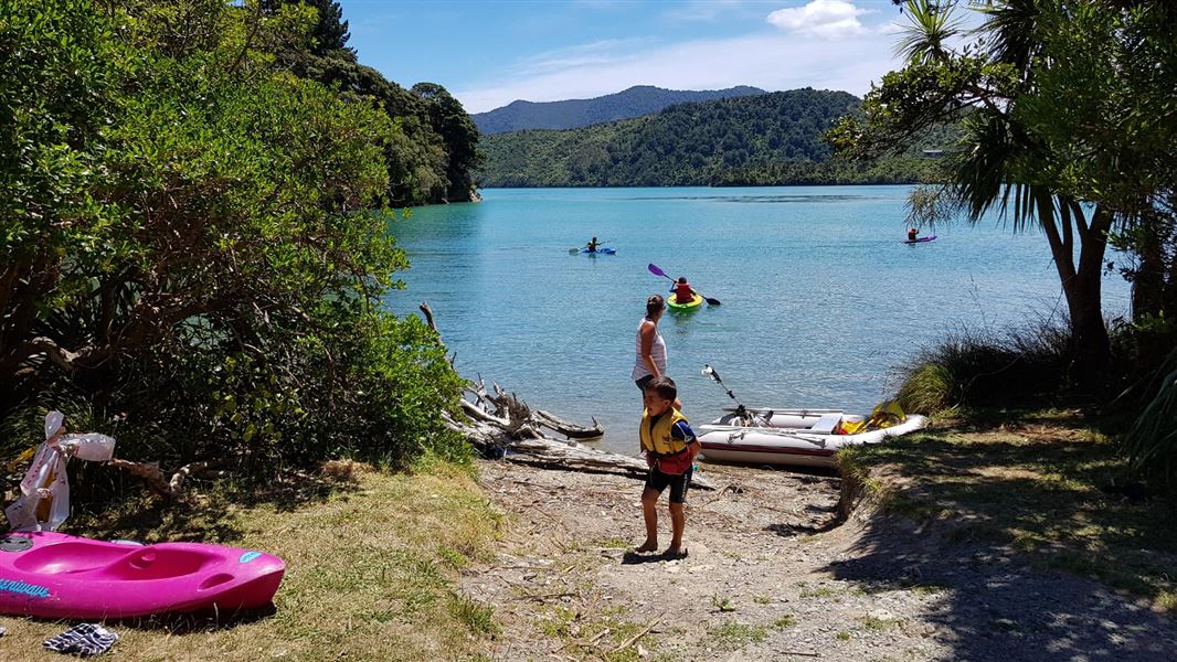
Cowshed Bay Campsite
Standard • Marlborough • 2.9 km
Cowshed Bay Campsite is located in the Marlborough region and offers a setting surrounded by native bush. It provides access to Kenepuru Sound by boat and is…
Non-powered/tent sites • Shelter for cooking • Shower - cold
Walks nearby
Ferndale tracks
Easy • 15 min - 1 hr • 8.05 km away
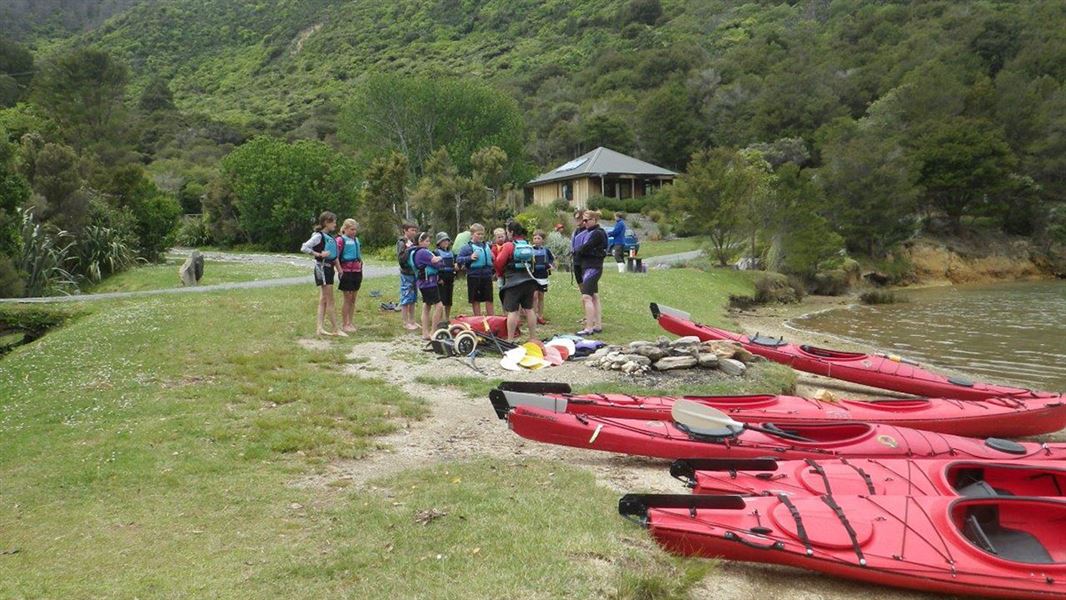
Mistletoe Bay tracks
Easy • 45 - 60 min return • 8.1 km away
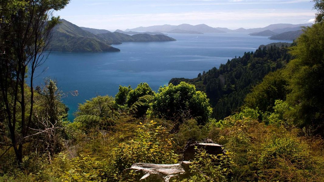
Queen Charlotte Track
Intermediate • 3-5 days • 73.5 km • 10.42 km away
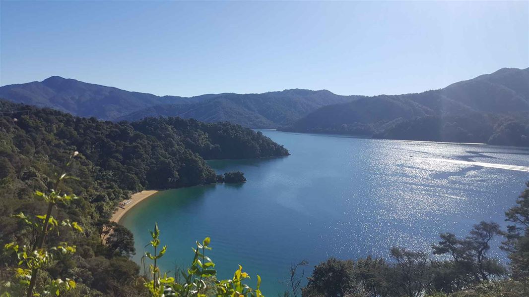
Governors Bay Track
Easiest • 10 min one way • 10.55 km away
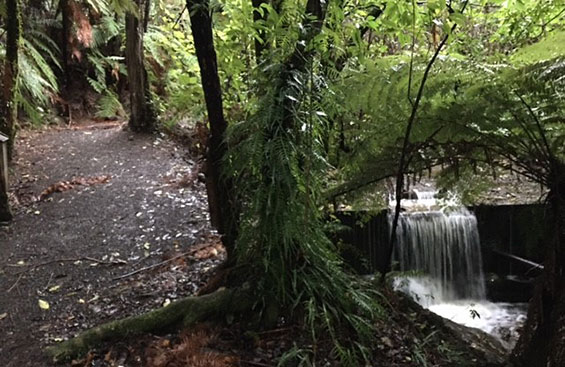
Momorangi Forest Experience Walk
Easy • 20 min return • 12.65 km away
Notes from people who have been
No notes yet. If you have been, say what you found.
Something missing or out of date?
Closed, moved, wrong facts, or something we have missed? Travellers keep the Road Guide up to date. Tell us what you found at contribute@parkup.nz and we will check it and add it.
Ask us to take this down
A person reads every request. We do not remove a place until we have checked it.
Sources
- DOC Tracks (API) · CC BY 4.0Crown Copyright: Department of Conservation Te Papa Atawhai. Data sourced from the DOC Developer Portal (api.doc.govt.nz).