Kings Creek Hut
Standard hutKahurangi National Park, TasmanOpen
- Sleeps
- 20 bunks
- Booking
- Not bookable
- Cost
- from $15
- Heating
- Yes
- Drinking water
- Not drinkable
- Toilet
- Non-flush
Getting there
We have not checked a road end or car park for this place yet, so we do not give driving directions to it. Check how to get there before you go. Some routes cross private land and need the landowner's permission.
How to get there, on doc.govt.nz- Topo map
- Topo50 sheet BQ23
- Grid reference
- E1556628, N5409410
Source: DOC Te Papa Atawhai.
Map and tracks
Track lines: DOC Te Papa Atawhai. Map data © OpenStreetMap contributors. Topo map: LINZ, CC BY 4.0. 41.46558° S, 172.48120° E
About this place
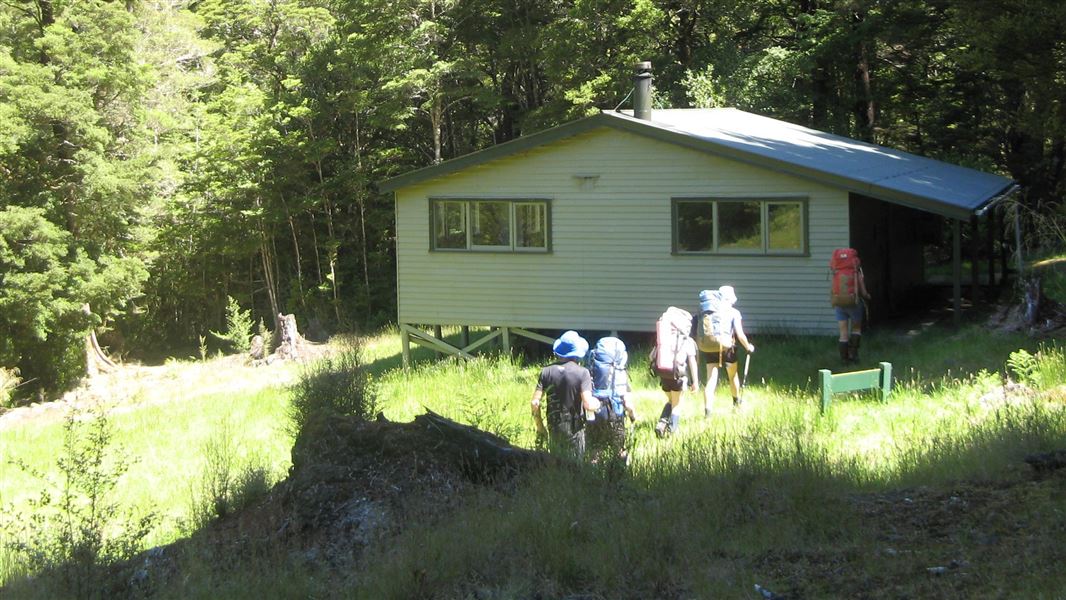
This is a standard 20-bunk hut in the Motueka area.
On the way here
Wangapeka Track · 4 - 6 days one way
Rolling River car park to Kings Creek Hut
Time: 3 hr 30 min
11.4 km The track follows the river to Kings Creek Hut. Approximately 1 hr 30 min from Rolling Junction road end, carefully cross the debris from the landslip which created a dam across the Wangapeka River in 2012. Note: trampers should move quickly, following the marked route and, if possible, use a spotter to watch for falling rocks. In heavy rainfall, trampers downstream of the dam should move to at least 20 m above the Wangapeka riverbed level if they see the water suddenly becoming discoloured. The track continues along the true right of the Wangapeka River to the junction of Kiwi Stream, cross the bridge to the true left and continue for 30 minutes to Kings Creek Hut. From this junction, trampers can do a side trip on Kiwi Track to Kiwi Saddle Hut (4 hr). Cross the Wangapeka River and Kiwi Stream bridges and follow the track on the true left up to the hut. This allows good access to explore Mount Patriarch and the Luna Tops in fair weather. The restored Cecil Kings Hut is 5 min further up the maintrack from Kings Creek Hut. There are good, sunny camping sites near the river here.
Kings Creek Hut to Stone Hut
Time: 2 hr 30 min
8.3 km The track continues to climb steadily alongside the gradually narrowing Wangapeka River, to a bridge half an hour before Stone Hut. There are good camping sites at the hut.
Source: DOC Te Papa Atawhai.
Trip options
Walking times come from DOC track descriptions, added up leg by leg from car-accessible trailheads. Nights and return times are ParkUp estimates, allowing about 8 hours of walking a day.
2 options · 1 to 3 nights
Rolling River car park
Walking in
3 hr 30 min
Walking out
3 hr 30 min to Rolling River car park
Walking in
3 hr 30 min
Walking out
21 hr to Wangapeka Road car park (via Stone Hut, Helicopter Flat Hut, Taipo Hut, Belltown Manunui Hut)
Source: DOC Te Papa Atawhai track descriptions.
Fees and bookings
Before you go, buy Hut Tickets for each night's stay. Put these in the honesty box at the hut. Or buy a Backcountry Hut Pass that gives unlimited use at most Standard and Serviced huts for a 12 month period. Retailers that sell hut tickets and passes
Source: DOC Te Papa Atawhai.
Nearby stops
Cecil Kings Hut
Basic/bivvies • 4 bunks • Tasman • 0.2 km
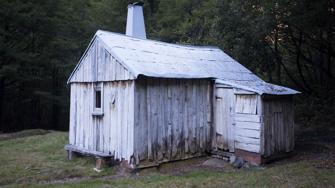
Cecil Kings Hut is a historic building in the Wangapeka area of Kahurangi National Park. It is one of the few surviving structures from the depression mining…
Heating • Mattresses • Toilets - non-flush
Stone Hut
Standard • 10 bunks • Tasman • 6.1 km
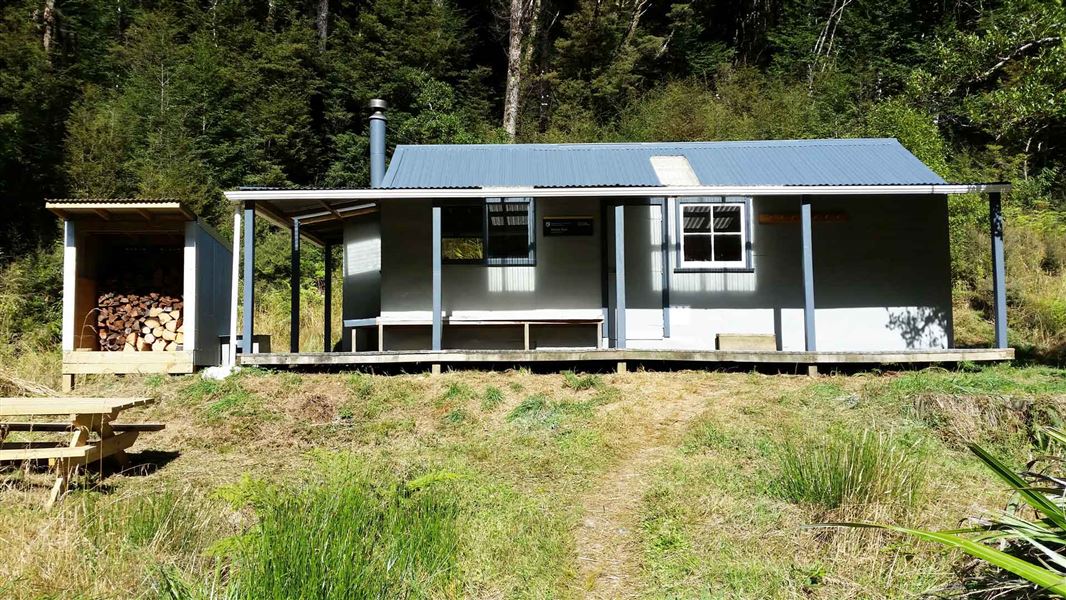
Stone Hut is a standard 10-bunk hut located in the Motueka area of the Tasman region.
Heating • Mattresses • Toilets - non-flush
Trevor Carter Hut
Standard • 12 bunks • West Coast • 10.7 km
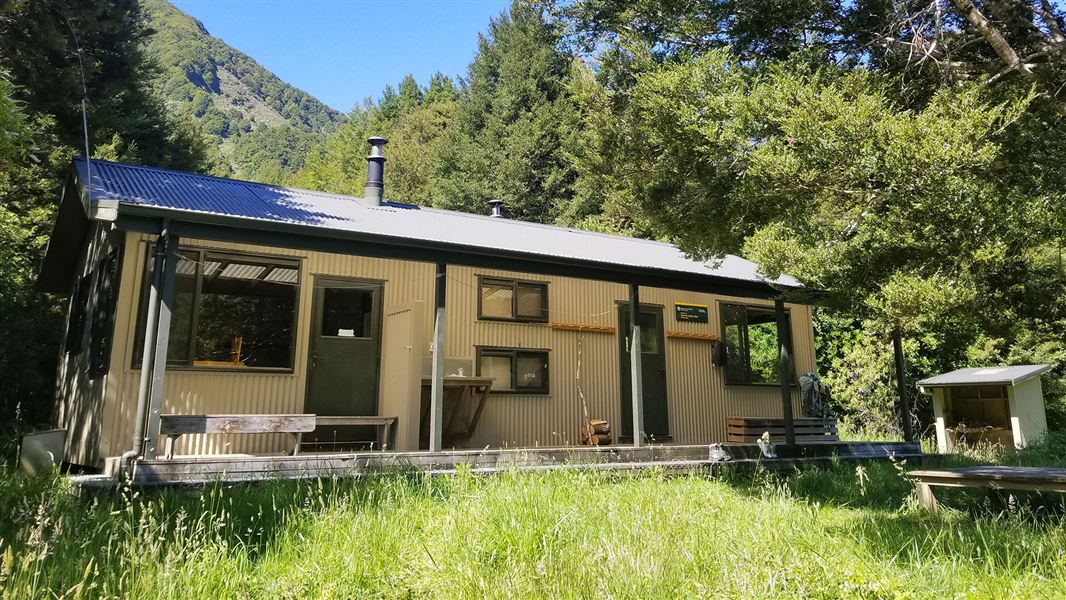
Trevor Carter Hut is a standard 12-bunk hut located in the Motueka area of the Nelson/Tasman region.
Heating • Mattresses • Toilets - non-flush
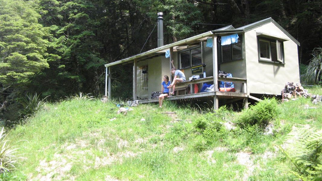
Helicopter Flat Hut
Standard • 10 bunks • West Coast • 11.4 km
Helicopter Flat Hut is a standard 10-bunk hut located in the Motueka area.
Heating • Mattresses • Toilets - non-flush
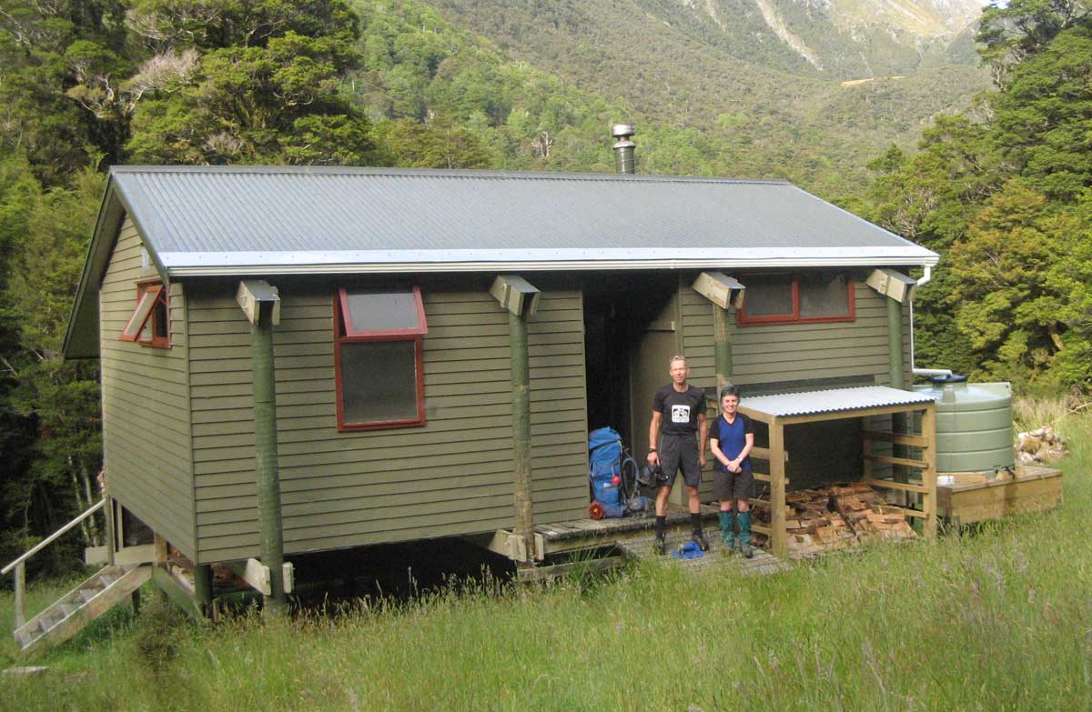
Taipo Hut
Standard • 16 bunks • West Coast • 15.9 km
Taipo Hut is a standard 16-bunk hut located in the Motueka area of the Nelson/Tasman region.
Heating • Mattresses • Toilets - non-flush
Walks nearby
Contact
Nelson/Tasman/Marlborough information
Regional DOC service centre.
Something missing or out of date?
Closed, moved, wrong facts, or something we have missed? Travellers keep the Road Guide up to date. Tell us what you found at contribute@parkup.nz and we will check it and add it.
Ask us to take this down
A person reads every request. We do not remove a place until we have checked it.
Sources
- OpenStreetMap Huts · ODbL (Open Database License)Contains information from OpenStreetMap, made available under the ODbL.
- DOC Huts · CC BY 4.0Data sourced from the Department of Conservation (DOC), New Zealand.
- DOC Huts (API) · CC BY 4.0Crown Copyright: Department of Conservation Te Papa Atawhai. Data sourced from the DOC Developer Portal (api.doc.govt.nz).