Chummies Track
WalkTasmanOpen
- Grade
- Intermediate
- Walking time
- 5 hr
- Distance
- 8 km
Access: read before you go
From Tapawera, cross the Motueka River and head southwest along Tadmor Valley Rd, then turn right onto Tadmor-Bushend Rd. From Matariki the road is unsealed. Follow the road to the Dart River Ford; this cannot be crossed when running high.
If you’re planning to cross the Dart Ford by vehicle, identify suitable conditions first.
Due to ongoing gravel migration filling the ford, the river is flowing over the ford even at low water levels. The ford may be impassable after heavy rain.
We recommend the use of a 4WD vehicle to safely negotiate the ford.
Source: DOC Te Papa Atawhai.
Getting there
We have not checked a road end or car park for this place yet, so we do not give driving directions to it. Check how to get there before you go. Some routes cross private land and need the landowner's permission.
How to get there, on doc.govt.nzChummies Track begins near the start of the Wangapeka Track, in the Wangapeka Valley, southwest of Nelson.
From Tapawera, cross the Motueka River and head southwest along Tadmor Valley Rd, then turn right onto Tadmor-Bushend Rd. From Matariki the road is unsealed. Follow the road to the Dart River Ford; this cannot be crossed when running high.
Continue for a further 7 km to the Kahurangi National Park boundary, where a grassed area allows parking and an information panel provides a map and track details. This is where Chummies Track starts.
Dart FordImage: Ivan Rogers | DOC
If you’re planning to cross the Dart Ford by vehicle, identify suitable conditions first.
Due to ongoing gravel migration filling the ford, the river is flowing over the ford even at low water levels. The ford may be impassable after heavy rain.
We recommend the use of a 4WD vehicle to safely negotiate the ford.
Check river flow for Wangapeka at Walter Peak on the Tasman District Council website before you set off.
As a guide, if the flow indicated on the graph exceeds 40 cumecs then it is not advisable to cross. However, the river may still be unsafe to cross because:
So you must re-assess the flow conditions once you arrive in terms of your vehicle and driving skill level. Don’t forget to check the weather forecast for your return trip too.
Caution required on Dart River Ford on the Wangapeka River
Dart Ford Image: Ivan Rogers | DOC If you’re planning to cross the Dart Ford by vehicle, identify suitable conditions first. Due to ongoing gravel migration filling the ford, the river is flowing over the ford even at low water levels. The ford may be impassable after heavy rain. We recommend the use of a 4WD vehicle to safely negotiate the ford. Check river flow for Wangapeka at Walter Peak on the Tasman District Council website before you set off. As a guide, if the flow indicated on the graph exceeds 40 cumecs then it is not advisable to cross. However, the river may still be unsafe to cross because: the flow shown on the website can be inaccurate, or the Dart River may be flowing higher than the Wangapeka indicates, or the culverts under the ford may be choked with gravel. So you must re-assess the flow conditions once you arrive in terms of your vehicle and driving skill level. Don’t forget to check the weather forecast for your return trip too.
Source: DOC Te Papa Atawhai.
Map and tracks
Track lines: DOC Te Papa Atawhai. Map data © OpenStreetMap contributors. Topo map: LINZ, CC BY 4.0. 41.41882° S, 172.57805° E
About this place
Chummies Track is a steep climb up to John Reid Hut. It fords the Wangapeka River which is impassable if running high.
The route
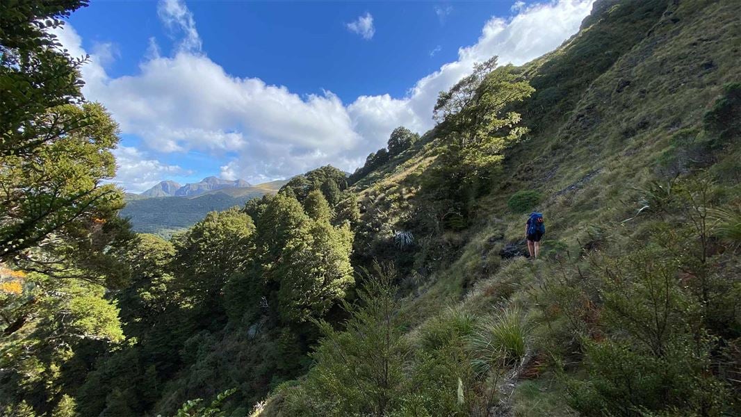
Chummies Track begins by fording Wangapeka River, before climbing the hillside on the opposite bank. Note: there is no bridge and the river is impasable if running high. The track then gains 500 m elevation in a little over a kilometre, climbing to the crest of the ridge. Once on the ridge the climb continues, though the gradient eases and some openings provide views to Mt Baldy and Mt Gomorrah on the Arthur Range to the north. At the tree line, the track sidles the mountainside through tussock and mountain flax, crossing several small streams, before reaching John Reid Hut. It is possible to combine Chummies Track and John Reid Hut with Kiwi Track to do a 3-day loop track.
Source: DOC Te Papa Atawhai.
Know before you go
Stay safe when crossing rivers and streams
If you plan to cross unbridged rivers or side streams, know how to cross safely and be prepared for if you cannot cross. Do not cross if the river or stream is flooded, you cannot find safe entry and exit points or are unsure it’s safe. Turn back or wait for the river to drop. If in doubt, stay out. How to cross rivers safely NIWA river flow forecasts: View a video of national followed by regional river flows
Source: DOC Te Papa Atawhai.

Nearby stops
Siberia Flat Campsite
Standard • Tasman • 2.6 km
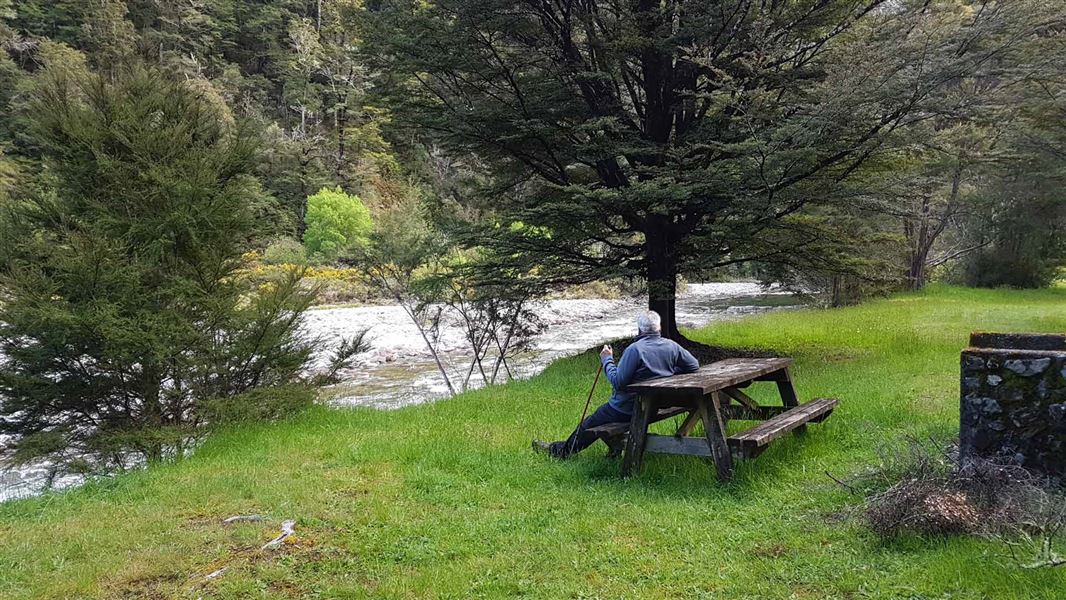
Siberia Flat Campsite is a standard campsite in the Motueka area of the Tasman region. It adjoins the Rolling River, which is popular for fly fishing, and is…
Fire pit/place for campfires (except in fire bans) • Non-powered/tent sites • Water from stream
Courthouse Flat Campsite
Standard • Tasman • 5.5 km
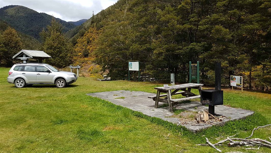
Courthouse Flat Campsite is located in the Tasman region, with a scenic drive alongside a historic goldfield. Nearby activities include caving, picnicking,…
Non-powered/tent sites • Water from stream • Toilets - non-flush
Kiwi Saddle Hut
Standard • 6 bunks • West Coast • 7.1 km
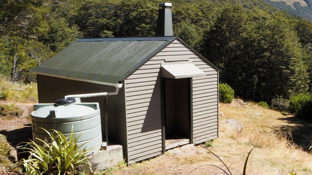
Kiwi Saddle Hut is a standard six-bunk hut located in the Motueka area.
Heating • Mattresses • Toilets - non-flush
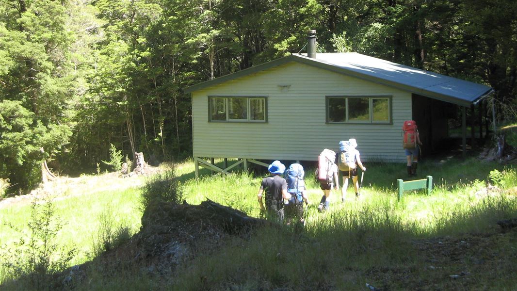
Kings Creek Hut
Standard • 20 bunks • Tasman • 9.6 km
Kings Creek Hut is a standard 20-bunk hut located in the Motueka area of the Tasman region.
Heating • Mattresses • Toilets - non-flush
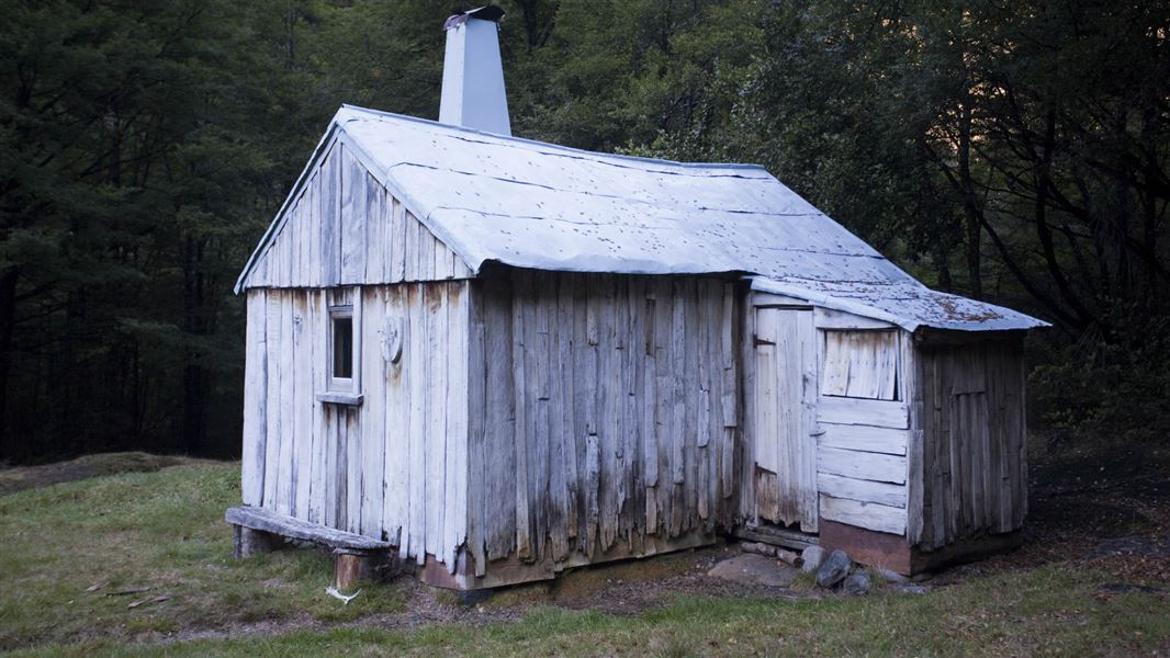
Cecil Kings Hut
Basic/bivvies • 4 bunks • Tasman • 9.8 km
Cecil Kings Hut is a historic building in the Wangapeka area of Kahurangi National Park. It is one of the few surviving structures from the depression mining…
Heating • Mattresses • Toilets - non-flush
Notes from people who have been
No notes yet. If you have been, say what you found.
Something missing or out of date?
Closed, moved, wrong facts, or something we have missed? Travellers keep the Road Guide up to date. Tell us what you found at contribute@parkup.nz and we will check it and add it.
Ask us to take this down
A person reads every request. We do not remove a place until we have checked it.
Sources
- DOC Tracks & Trails · CC BY 4.0Data sourced from the Department of Conservation (DOC), New Zealand.
- DOC Tracks (API) · CC BY 4.0Crown Copyright: Department of Conservation Te Papa Atawhai. Data sourced from the DOC Developer Portal (api.doc.govt.nz).