Kerikeri River Track
WalkNorthland
- Grade
- Easy
- Walking time
- 1 hr 30 min
- Distance
- 3.5 km
- Dogs
- No dogs
Getting there
We have not checked a road end or car park for this place yet, so we do not give driving directions to it. Check how to get there before you go. Some routes cross private land and need the landowner's permission.
How to get there, on doc.govt.nzThe Kerikeri River Track starts in the Kerikeri Basin Reserve and ends at the Rainbow Falls, Kerikeri.
Access the track from
Source: DOC Te Papa Atawhai.
Map
Map data © OpenStreetMap contributors. Topo map: LINZ, CC BY 4.0. 35.21687° S, 173.95225° E
About this place
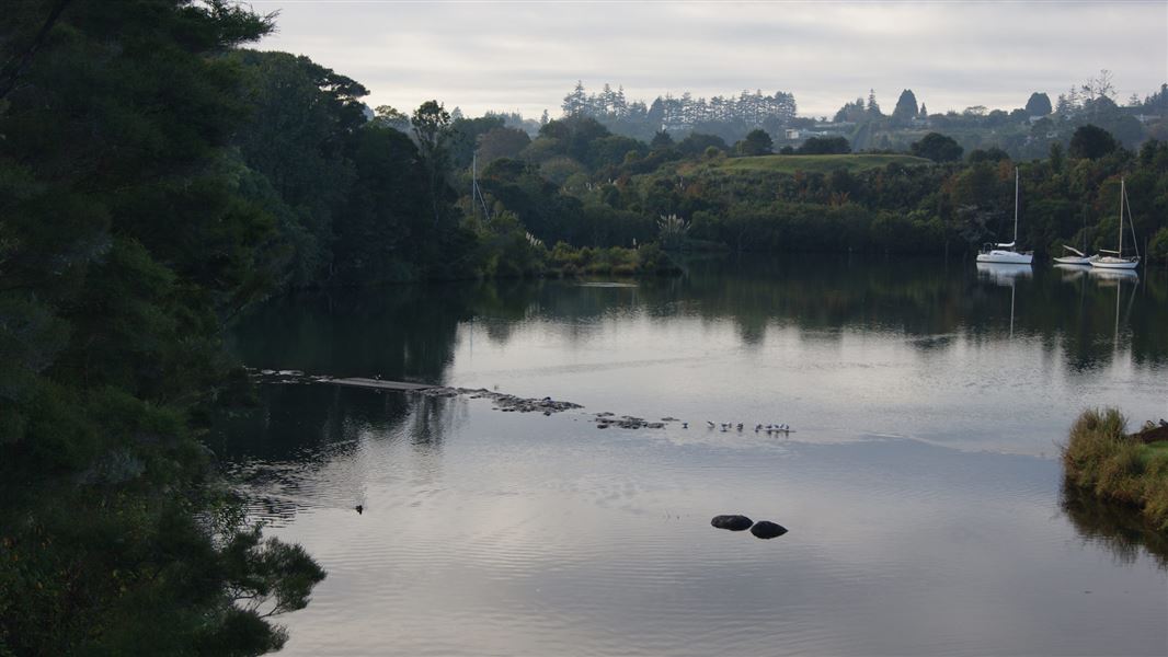
Follow the bank of the Kerikeri River through regenerating forest and discover the remains of an historic power house, and Wharepoke and Rainbow Falls. This track is part of Te Araroa Trail.
The route
This track is part of Te Araroa Trail . This is part ofTe Araora Trail . The track starts at Kerikeri Basin Reserve. It passes through stands of young kauri, tōtara and associated native vegetation. As you walk along the track, you will pass the remains of the historic Kerikeri hydro-election station , built as part of the hydro-electric generation scheme that operated between 1930 and 1967. The building’s remains are open to the public. You can see interesting rock formations close to the Wharepoke Falls. Ten minutes westward along the river from the Wharepoke Falls, the Kerikeri River Track goes under the Heritage Bypass and takes you to a seating area at the Fairy Pools. The track ends at Rainbow Falls. There are some steep drops near the track and the track is narrow in places. Stay on the track and supervise children. You can also walk the track in the reverse direction. Fishing is allowed in the Kerikeri River. Fishing permits and information are available from Fish & Game New Zealand .
Source: DOC Te Papa Atawhai.
Know before you go
Safety
Carry warm, waterproof clothing, and food and drink, even on short walks. Stout shoes or walking boots are advisable. There are significant risks associated with waterfall swimming and weirs. Learn more about river swimming risks . There are steep drops and sections of narrow track. Stay on the track and supervise children. Before leaving for your walk, make sure your vehicle is locked and any valuables out of sight.
Related links
Kerikeri hydro station The Kerikeri River Track is part of the Te Araroa Trail
Source: DOC Te Papa Atawhai.
Nearby stops
Gibby's Place
Northland • 1.9 km
Kerikeri Wagon Wheel Holiday Park
Northland • 5.8 km
Bay of Islands Holiday Park
Northland • 10.2 km
Bay of Islands Holiday Park is a campsite located in the Northland region. The provided records do not list specific facilities or amenities for this site.
Down to Earth NZ
Northland • 10.6 km
Waterfalls Estate - Motel & Campground
Northland • 11.5 km
Waterfalls Estate is a campsite located in the Northland region of New Zealand. The site operates alongside a motel, providing accommodation options for…
Walks nearby
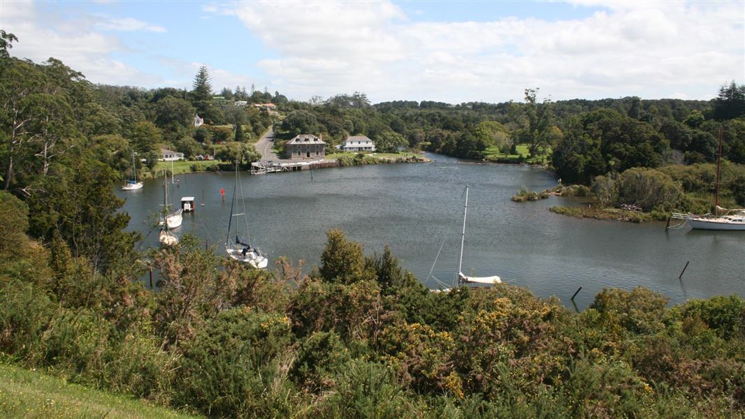
Hongi Hika Walk
Easy • 1 hr • 1 km • 0.72 km away
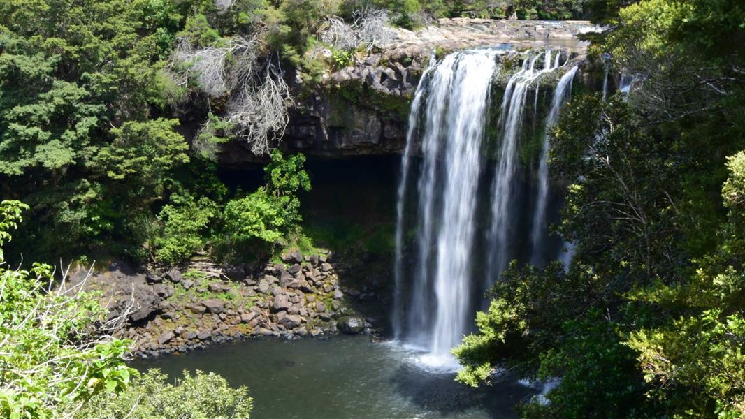
Rainbow Falls Walk
Easiest • 10 min one way • 400 m one way • 0.93 km away
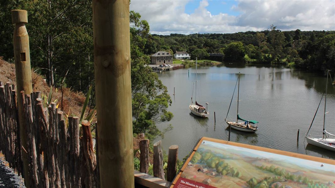
Kororipo Pā Historic Walk
Easy • 20 min • 800 m • 1.09 km away
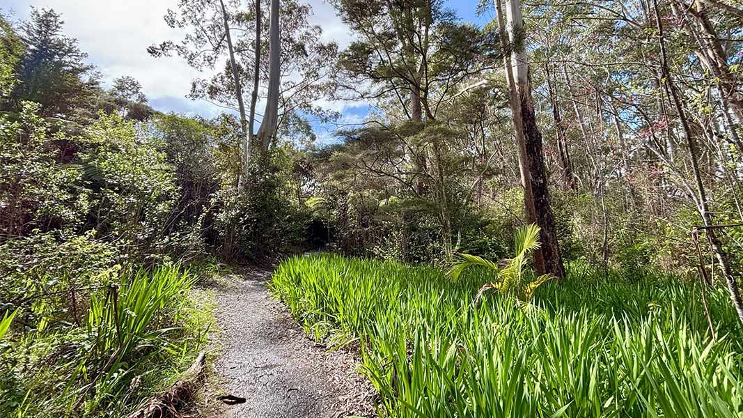
Pā Road Walk
Easiest • 5 min one way • 185 m • 1.09 km away
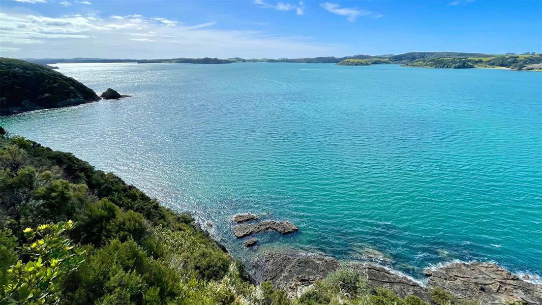
Akeake Historic Reserve Track
Easy • 15-30 min one way • 1.4 km • 8.88 km away
Notes from people who have been
No notes yet. If you have been, say what you found.
Something missing or out of date?
Closed, moved, wrong facts, or something we have missed? Travellers keep the Road Guide up to date. Tell us what you found at contribute@parkup.nz and we will check it and add it.
Ask us to take this down
A person reads every request. We do not remove a place until we have checked it.
Sources
- DOC Tracks (API) · CC BY 4.0Crown Copyright: Department of Conservation Te Papa Atawhai. Data sourced from the DOC Developer Portal (api.doc.govt.nz).