Kawatiri campsite
Standard campsiteLocated in Kawatiri area, TasmanOpen
- Sites
- 10
- Booking
- Not bookable
- Cost
- from $10
- Power
- None
- Toilet
- Non-flush
- Drinking water
- Not drinkable
- Dogs
- Under control
Getting there
Kawatiri Junction, corner SH 63 and SH 6, northwest of St Arnaud.
Source: DOC Te Papa Atawhai.
Map
Map data © OpenStreetMap contributors. Topo map: LINZ, CC BY 4.0. 41.69399° S, 172.61756° E
About this place
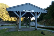
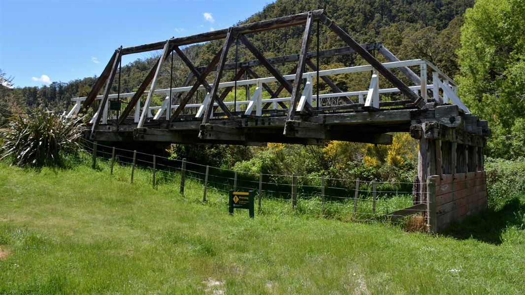
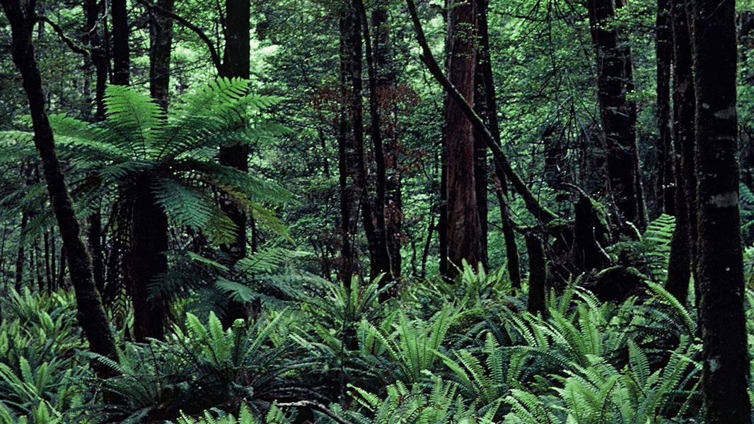
Camp at the historic Kawatiri Railway Station site. Explore the old rail bridge, tunnel and station. A great place to walk, fish or picnic.
Fees and bookings
Payment with a DOC Campsite Pass is preferred. Otherwise, pay your fees with cash at the self-registration stand at the campsite or to the camp warden if present. Put the correct fee in the envelope provided and place the receipt section of the envelope on your vehicle or tent. The DOC Campsite Pass can be used at this campsite.
Source: DOC Te Papa Atawhai.
Nearby stops

Lake Rotoroa campsite
Standard • Tasman • 11.2 km
Lake Rotoroa campsite is an easily accessible camp in the Tasman region. It offers opportunities for water activities and walks through native bush.
Boat launching • Jetty • Non-powered/tent sites
Owen River Recreation Reserve
Tasman • 13.9 km
Camp site (tents only)
Tasman • 17 km
This tents-only campsite in the Tasman region charges a flat rate of 8 NZD per night.
Walks nearby
Contact
Nelson Lakes National Park Visitor Centre
Regional DOC service centre.
Notes from people who have been
No notes yet. If you have been, say what you found.
Something missing or out of date?
Closed, moved, wrong facts, or something we have missed? Travellers keep the Road Guide up to date. Tell us what you found at contribute@parkup.nz and we will check it and add it.
Ask us to take this down
A person reads every request. We do not remove a place until we have checked it.
Sources
- DOC Campsites · CC BY 4.0Data sourced from the Department of Conservation (DOC), New Zealand.
- OpenStreetMap Campsites · ODbL (Open Database License)Contains information from OpenStreetMap, made available under the ODbL.
- DOC Campsites (API) · CC BY 4.0Crown Copyright: Department of Conservation Te Papa Atawhai. Data sourced from the DOC Developer Portal (api.doc.govt.nz).