Flower Brothers Walk
WalkTasmanOpen
- Grade
- Easiest
- Walking time
- 15 min
- Route
- Return
- Dogs
- No dogs
Getting there
We have not checked a road end or car park for this place yet, so we do not give driving directions to it. Check how to get there before you go. Some routes cross private land and need the landowner's permission.
How to get there, on doc.govt.nzBy road, St Arnaud, the main entry point for the national park, is 1 hour 30 minutes from Nelson or Blenheim, 5 hours from Christchurch, and 2 hours from Westport. Lake Rotoroa Village is 40 minutes from St Arnaud, off SH6.
Buses run to St Arnaud from Nelson, Picton, and the West Coast. An on-demand shuttle links Lake Rotoroa with the Mt Robert car park. Water taxis operate on the lakes.
Source: DOC Te Papa Atawhai.
Map
Map data © OpenStreetMap contributors. Topo map: LINZ, CC BY 4.0. 41.79581° S, 172.59524° E
About this place
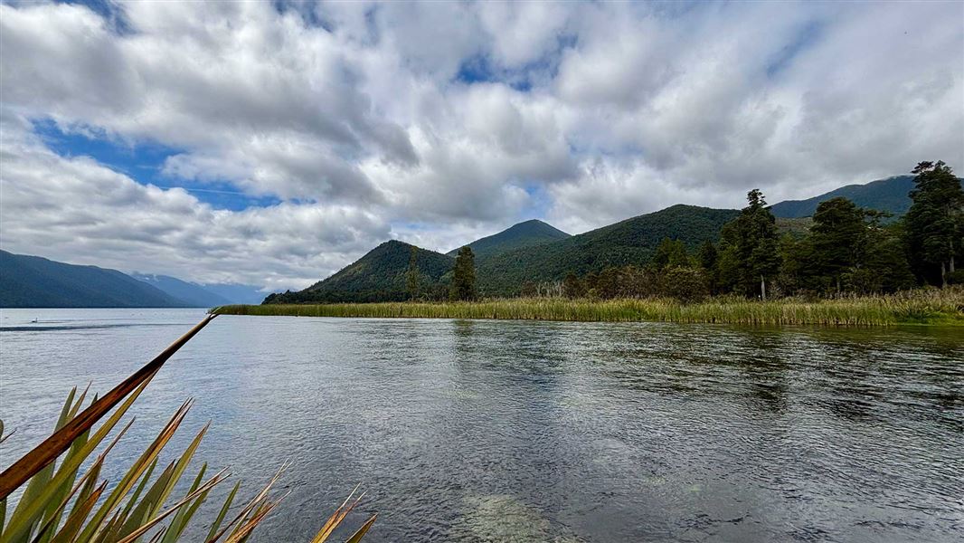
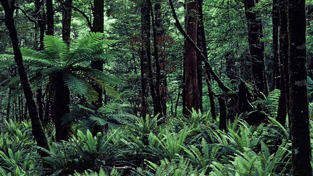
From Lake Rotoroa car park, this track passes through a stand of kahikatea and around the lake outlet emerging on the road near Lake Rotoroa Lodge.
The route
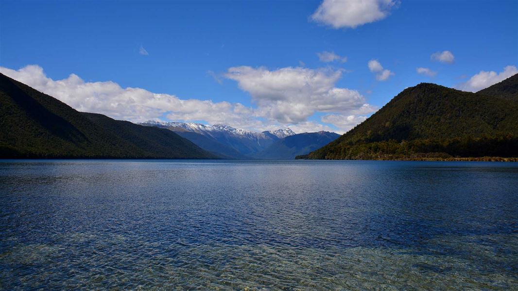
Named in memory of two early settlers at Lake Rotoroa, Cyril and Hubert Flower, Flower Brothers Walk is located at the northern end of the lake, between the lake foreshore and the outlet. The walk begins to the right of the car park and jetty, then passes through a stand of mixed podocarp–beech forest dominated by kahikatea. It then follows around the lake outlet to the beginning of the Gowan River, emerging on the road near Rotoroa Lodge. Kahikatea was once common as pure stands in swampy areas of alluvial flood plains and on the margins of lakes, rivers and estuaries throughout New Zealand. The clearance, drainage and conversion of these areas to farmland have resulted in the widespread loss of kahikatea forest. Kahikatea is New Zealand’s tallest tree, often reaching 60 m in height. While preferring wetter, low-lying areas, kahikatea will also grow in forests on drier sites up to 600 m in altitude.
Source: DOC Te Papa Atawhai.
Nearby stops

Lake Rotoroa campsite
Standard • Tasman • 0.3 km
Lake Rotoroa campsite is an easily accessible camp in the Tasman region. It offers opportunities for water activities and walks through native bush.
Boat launching • Jetty • Non-powered/tent sites
Camp site (tents only)
Tasman • 9.3 km
This tents-only campsite in the Tasman region charges a flat rate of 8 NZD per night.

Kawatiri campsite
Standard • Tasman • 11.5 km
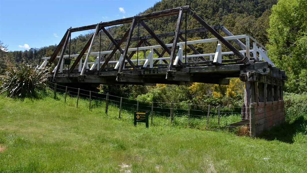
Kawatiri campsite is located at the historic Kawatiri Railway Station site in the Tasman region. The area features an old rail bridge, tunnel, and station,…
Non-powered/tent sites • Water from stream • Wheelchair accessible

Tiraumea Hut
Standard • 6 bunks • Tasman • 12.5 km
Tiraumea Hut is a standard six-bunk hut located in the Nelson Lakes area of the Tasman region.
Heating • Mattresses • Toilets - non-flush

D'Urville Hut
Standard • 10 bunks • Tasman • 12.9 km
D'Urville Hut is a standard 10-bunk hut located in the Nelson Lakes area of the Tasman region.
Heating • Mattresses • Toilets - non-flush
Walks nearby
Notes from people who have been
No notes yet. If you have been, say what you found.
Something missing or out of date?
Closed, moved, wrong facts, or something we have missed? Travellers keep the Road Guide up to date. Tell us what you found at contribute@parkup.nz and we will check it and add it.
Ask us to take this down
A person reads every request. We do not remove a place until we have checked it.
Sources
- DOC Tracks (API) · CC BY 4.0Crown Copyright: Department of Conservation Te Papa Atawhai. Data sourced from the DOC Developer Portal (api.doc.govt.nz).
- DOC Tracks & Trails · CC BY 4.0Data sourced from the Department of Conservation (DOC), New Zealand.