Kashmir Road tramping tracks
WalkHawke's Bay
- Grade
- Advanced
- Walking time
- 5 hr 30 min
- Dogs
- DOC permit only
Access: read before you go
We recommend using a 4WD/AWD as Kashmir Road is very steep.
Source: DOC Te Papa Atawhai.
Getting there
We have not checked a road end or car park for this place yet, so we do not give driving directions to it. Check how to get there before you go. Some routes cross private land and need the landowner's permission.
How to get there, on doc.govt.nzThese tracks are accessed from Kashmir Road.
Around 100 km from Napier or Palmerston North, turn off SH50 onto Makaretu Road, then into Mill Road – the first road on the left. Mill Road becomes gravel after 7 km – continue on for a further 4 km, then turn left into Kashmir Road.
We recommend using a 4WD/AWD as Kashmir Road is very steep.
Source: DOC Te Papa Atawhai.
Map and tracks
Track lines: DOC Te Papa Atawhai. Map data © OpenStreetMap contributors. Topo map: LINZ, CC BY 4.0. 39.93615° S, 176.14842° E
About this place
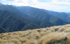
Kashmir Road climbs far and high into Ruahine Forest Park and provides quick access to the high country. Daphne Hut, Awatere Hut and Longview Hut are all accessible by a track from the road.
The route
Awatere Hut Track
Time: 1 hr 30 min one way
From the car park at the end of Kashmir Road, the track is easy to follow as it passes through an open and exposed ridge and drops steeply down to red beech forest and the Makaretu River. Across the river and 50 metres downstream is the Awatere Hut.
Daphne Hut Track
Time: 2–3 hr one way
The track starts on a side road off Kashmir Road. Climb a ridge and follow it for 2.5 km before descending down to a side stream to reach the Tukituki River. Follow the main river upstream for 800 m to reach the hut.
Longview Hut Track
Time: 2–3 hr one way
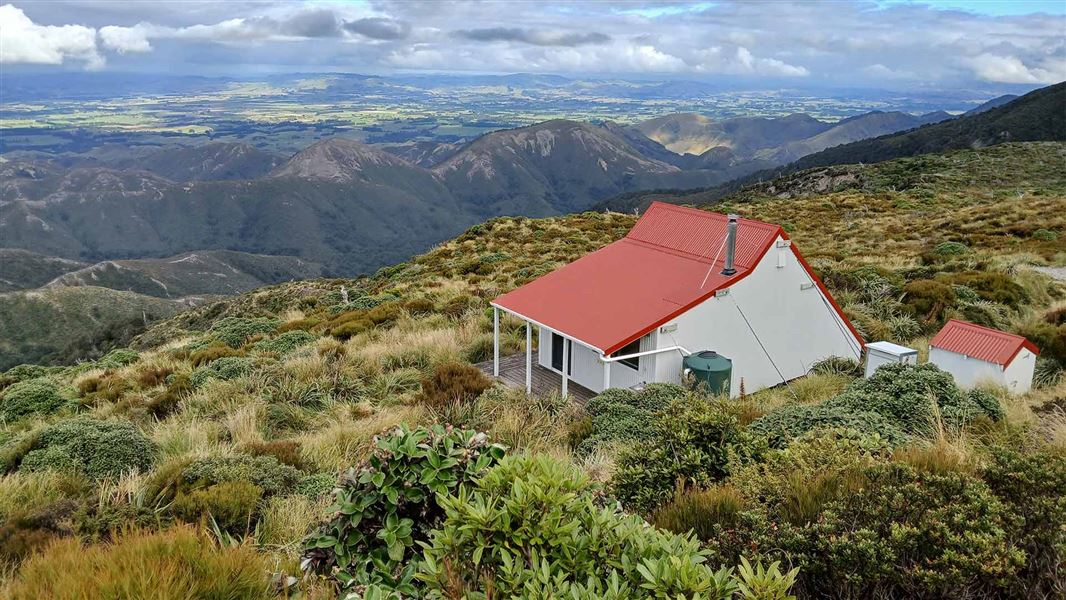
From the end of Kashmir Road, this popular track to Longview Hut offers excellent views. Follow an old bulldozed track, then climb up the steep and exposed tussock ridge to follow the poled route south. Caution is required as strong winds are common. For the more experienced there are tramping opportunities further afield to Top Gorge, Makaretu, Leon Kinvig, and Howlett’s Huts.
Source: DOC Te Papa Atawhai.
Joins these tracks
Source: DOC Te Papa Atawhai.
On this track
In walking order.



Nearby stops
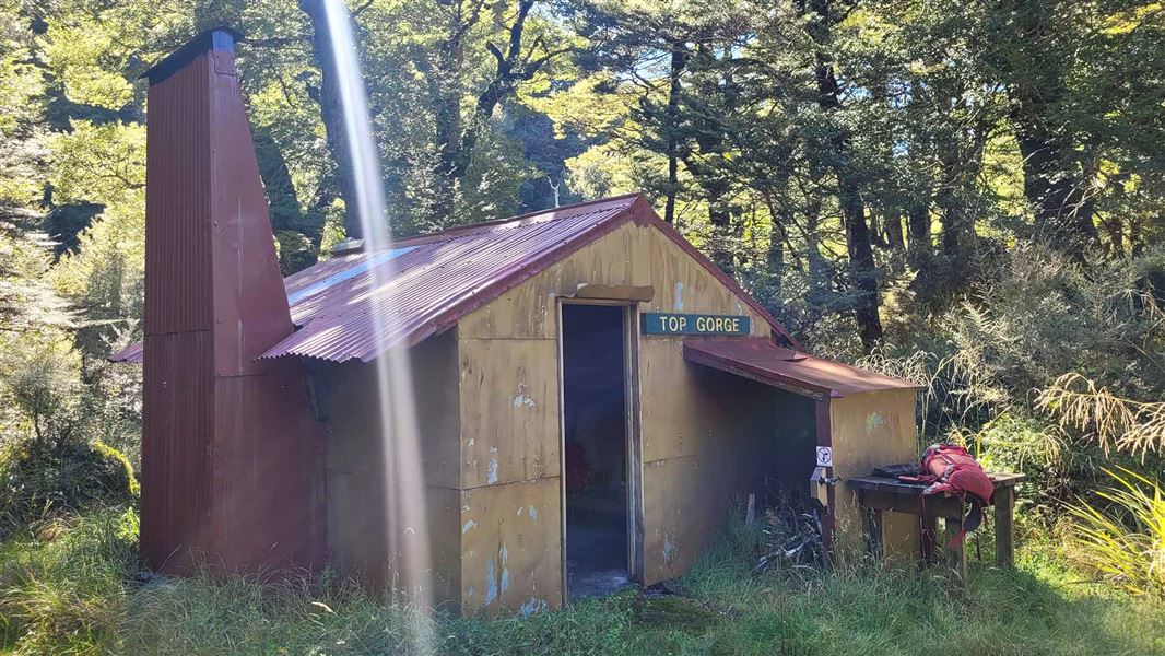
Top Gorge Hut
Basic/bivvies • 4 bunks • Manawatū-Whanganui • 5.1 km
Top Gorge Hut is a basic four-bunk hut located in the Manawatu-Whanganui region.
Heating • Mattresses • Toilets - non-flush
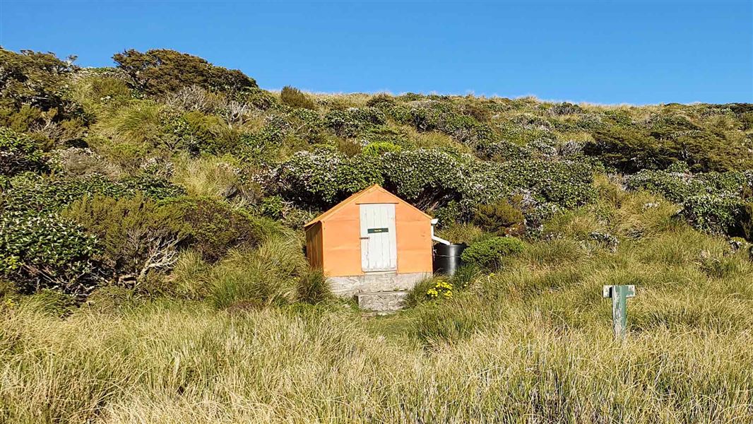
Tarn Bivvy
Basic/bivvies • 2 bunks • Hawke's Bay • 5.9 km
Tarn Bivvy is a basic two-bunk hut located in the Hawke's Bay region.
Mattresses • Toilets - non-flush • Water from tap - not treated, boil before use

Hapi Daze Hut
Basic/bivvies • 4 bunks • Hawke's Bay • 6.8 km
Hapi Daze Hut is a basic four-bunk hut in the Hawke's Bay region. The site also offers plenty of camping space.
Heating • Mattresses • Toilets - non-flush
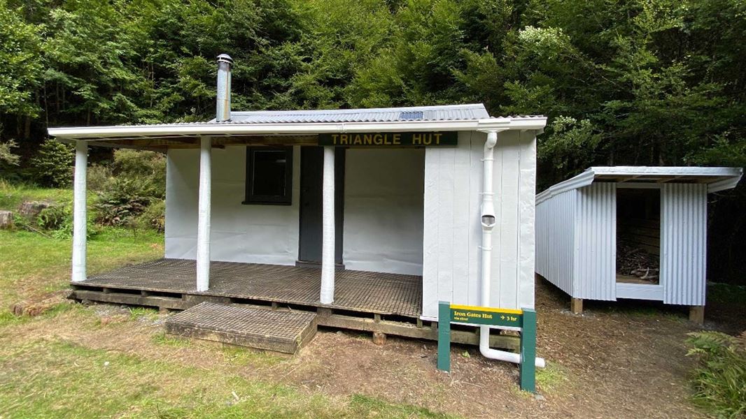
Triangle Hut
Standard • 6 bunks • Manawatū-Whanganui • 7.1 km
Triangle Hut is a standard six-bunk hut located in the Manawatu-Whanganui region.
Heating • Mattresses • Toilets - non-flush
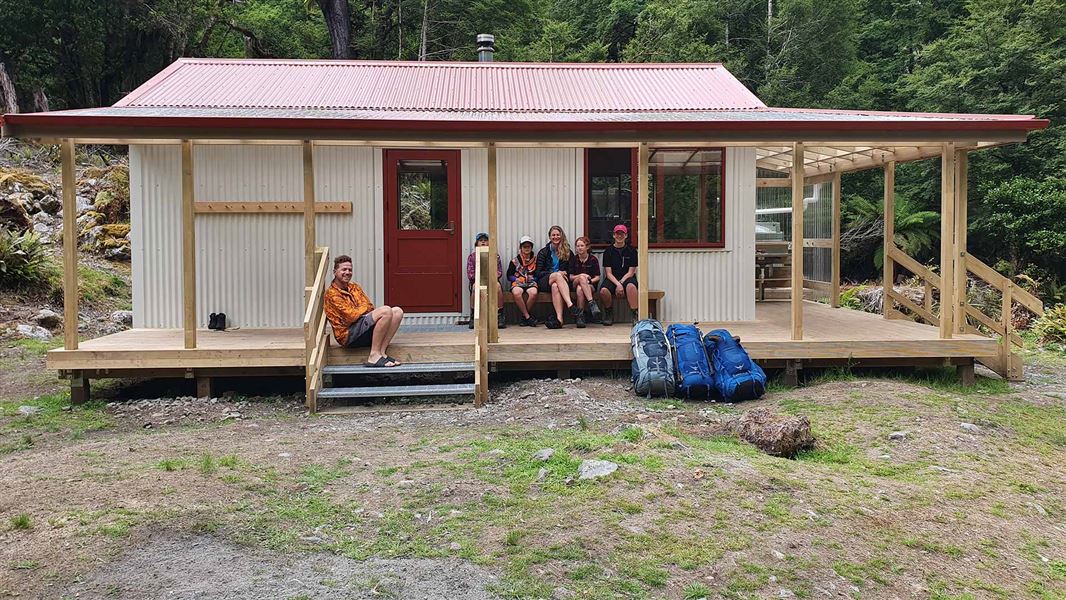
Iron Gate Hut
Standard • 10 bunks • Manawatū-Whanganui • 7.9 km
Iron Gate Hut is a standard 10-bunk hut located at the Oroua River in the Manawatū-Whanganui region.
Heating • Mattresses • Toilets - non-flush
Walks nearby
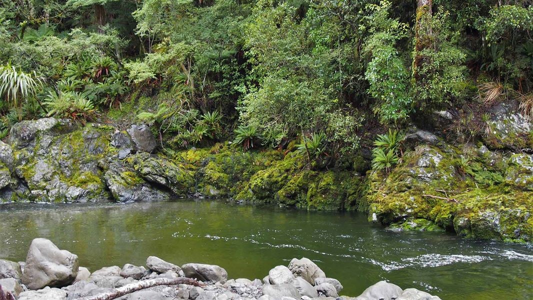
Iron Gate Hut Track
Advanced • 4 - 5 hr • 10.4 km away
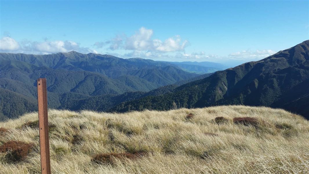
Renfrew Road end to Table Flat Road end
Advanced • 2-3 days • 11.13 km away
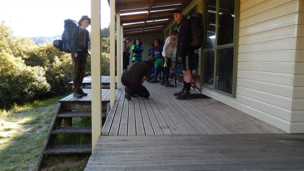
Alice Nash Memorial Heritage Lodge Track
Easy • 30 min one way • 2.4 km • 11.56 km away
Smiths Stream Hut track
Advanced • 4 hr one way • 6 km • 11.69 km away
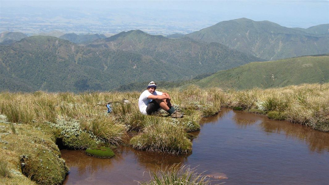
Knights-Shorts Loop Track
Advanced • 8 - 10 hr • 11.91 km away
Notes from people who have been
No notes yet. If you have been, say what you found.
Something missing or out of date?
Closed, moved, wrong facts, or something we have missed? Travellers keep the Road Guide up to date. Tell us what you found at contribute@parkup.nz and we will check it and add it.
Ask us to take this down
A person reads every request. We do not remove a place until we have checked it.
Sources
- DOC Tracks (API) · CC BY 4.0Crown Copyright: Department of Conservation Te Papa Atawhai. Data sourced from the DOC Developer Portal (api.doc.govt.nz).