Jollie Hut
Basic/bivvies hutGamack Conservation Area, CanterburyOpen
Current advisories
Mt Cook Conservation area and Braemar Conservation area wallaby control operation
07 June 2026
As part of the Tipu Mātoro National Wallaby Eradication Programme ECAN intend to carry out a ground search and destroy operation for wallabies using dogs and rifles during the daytime. They will also carry out a search and destroy for wallabies using UAV/drone assisted with thermal imaging equipment in the Mt Cook Conservation Area (during hours of darkness only). Both operations will occur between 8 June - 10 July 2026 (weekdays only and excludes public holidays). Mt Cook Conservation area and Braemar Conservation area will remain open. You are advised not to walk tracks on the days of the operation. Warning signage will be installed at all normal points of entry. Mt Cook Conservation area and Braemar Conservation area operation map (PDF, 10,379K) First published on 8 June 2026.
Source: DOC Te Papa Atawhai alerts.
- Sleeps
- 5 bunks
- Booking
- Not bookable
- Cost
- Free
- Heating
- Yes
- Drinking water
- Boil first
- Toilet
- Non-flush
Getting there
We have not checked a road end or car park for this place yet, so we do not give driving directions to it. Check how to get there before you go. Some routes cross private land and need the landowner's permission.
How to get there, on doc.govt.nzA track into Jollie Hut is signposted off Braemar Mount Cook Station Road on the eastern side of Lake Pukaki. This track can be used by people on foot or mountain bikes and initially goes through private land. It is 3 km to Jollie Hut.
- Topo map
- Topo50 sheet BY16
- Grid reference
- E1374848, N5140651
Source: DOC Te Papa Atawhai.
Map
Map data © OpenStreetMap contributors. Topo map: LINZ, CC BY 4.0. 43.85292° S, 170.19882° E
About this place
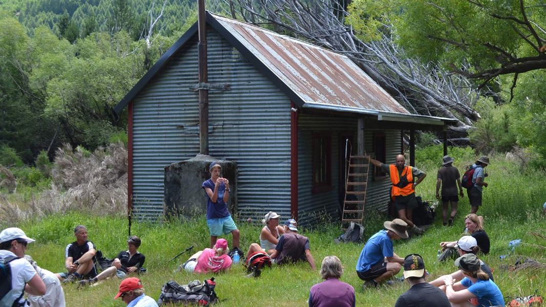
Jollie Hut is in Gamack Conservation Area near Lake Pukaki.
Nearby stops
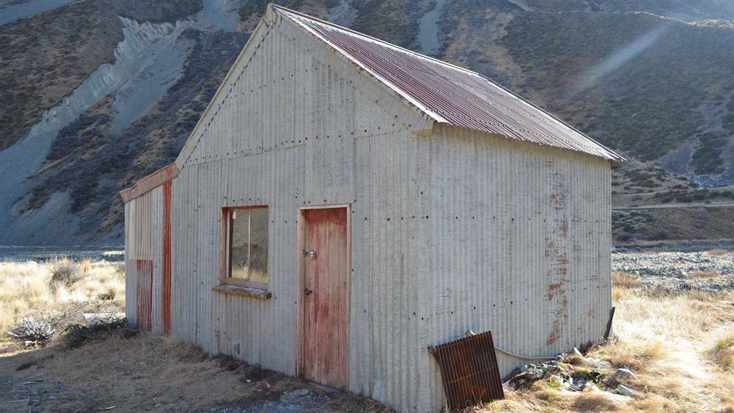
Green Point Hut
Basic/bivvies • 6 bunks • Canterbury • 7.7 km
Green Point Hut is a DOC hut located in the Jollie River catchment within the Gamack Conservation Area in Canterbury.
Mattresses • Toilets - non-flush • Water from stream
Glentanner Holiday Park
Canterbury • 9.1 km
Glentanner Holiday Park is a campsite located in the Canterbury region. The provided records do not include specific details regarding available facilities or…
Maryburn Hut
Canterbury • 11 km
Maryburn Hut is a backcountry hut located in the Canterbury region of New Zealand. It serves as a shelter for hikers and trappers in the area.
Littles Hut
Canterbury • 13.5 km
Littles Hut is a backcountry hut located in the Canterbury region of New Zealand. The provided data does not include specific details regarding its facilities,…
Whale Stream Hut
Canterbury • 13.8 km
Contact
Aoraki/Mount Cook National Park Visitor Centre
1 Larch Grove, Aoraki/Mount Cook 7999
Regional DOC service centre.
Notes from people who have been
No notes yet. If you have been, say what you found.
Something missing or out of date?
Closed, moved, wrong facts, or something we have missed? Travellers keep the Road Guide up to date. Tell us what you found at contribute@parkup.nz and we will check it and add it.
Ask us to take this down
A person reads every request. We do not remove a place until we have checked it.
Sources
- DOC Huts · CC BY 4.0Data sourced from the Department of Conservation (DOC), New Zealand.
- OpenStreetMap Huts · ODbL (Open Database License)Contains information from OpenStreetMap, made available under the ODbL.
- DOC Huts (API) · CC BY 4.0Crown Copyright: Department of Conservation Te Papa Atawhai. Data sourced from the DOC Developer Portal (api.doc.govt.nz).